Spelter is a census-designated place (CDP) in Harrison County, West Virginia, United States. Spelter is 4.5 miles (7.2 km) north of Clarksburg. Spelter has a post office with ZIP code 26438. As of the 2010 census, its population was 346.
An early variant name was Ziesing.
| Name: | Spelter CDP |
|---|---|
| LSAD Code: | 57 |
| LSAD Description: | CDP (suffix) |
| State: | West Virginia |
| County: | Harrison County |
| Elevation: | 1,007 ft (307 m) |
| Total Area: | 0.495 sq mi (1.28 km²) |
| Land Area: | 0.495 sq mi (1.28 km²) |
| Water Area: | 0 sq mi (0 km²) |
| Total Population: | 346 |
| Population Density: | 700/sq mi (270/km²) |
| ZIP code: | 26438 |
| Area code: | 304 & 681 |
| FIPS code: | 5475796 |
| GNISfeature ID: | 1555681 |
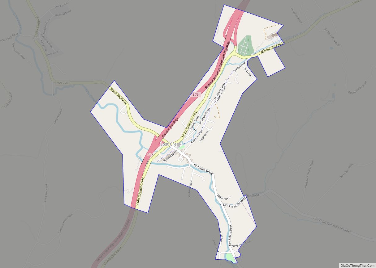
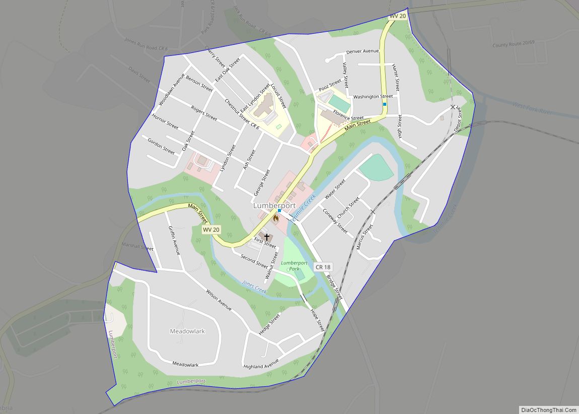
Online Interactive Map
Click on ![]() to view map in "full screen" mode.
to view map in "full screen" mode.
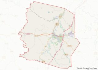
Spelter location map. Where is Spelter CDP?
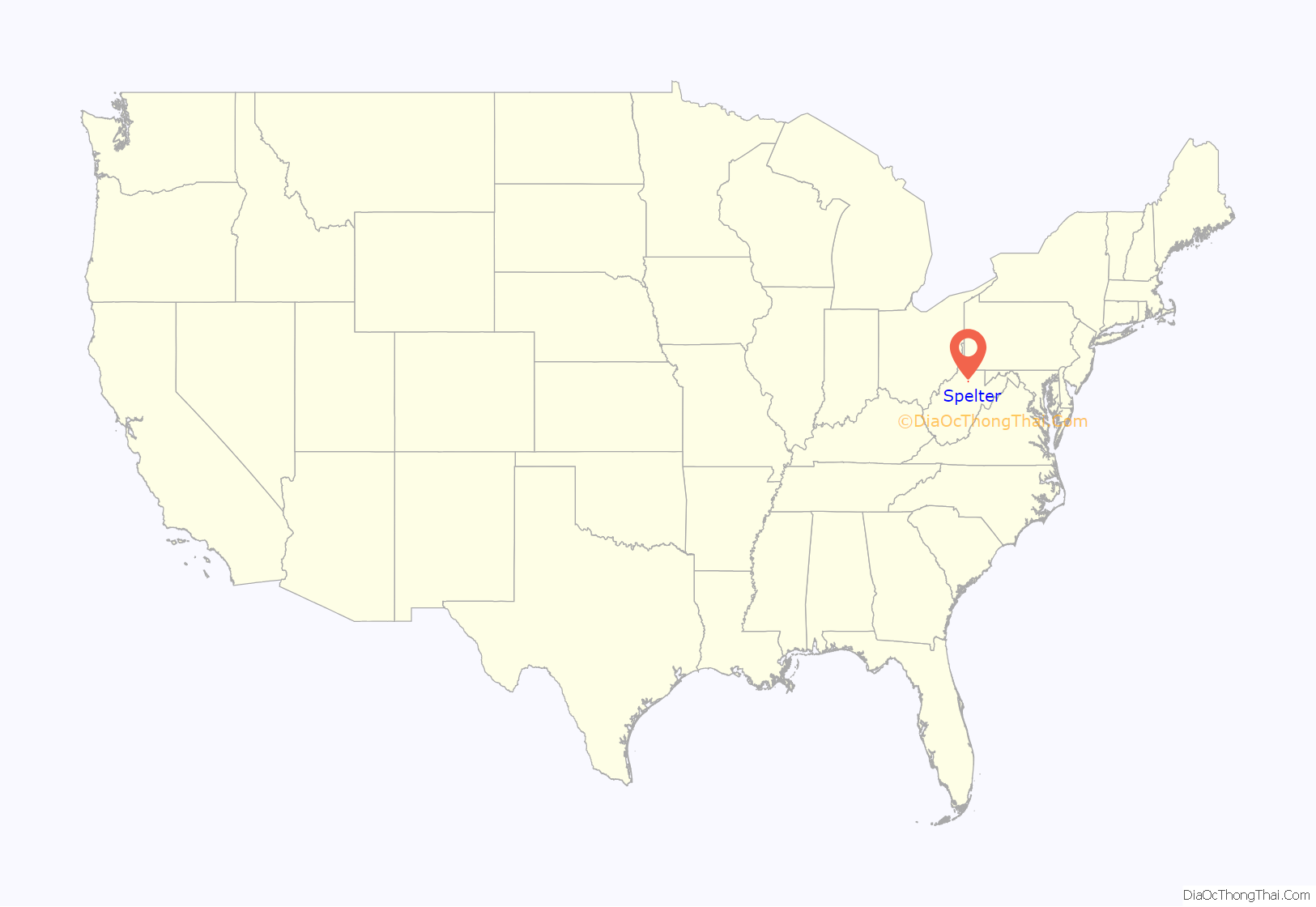
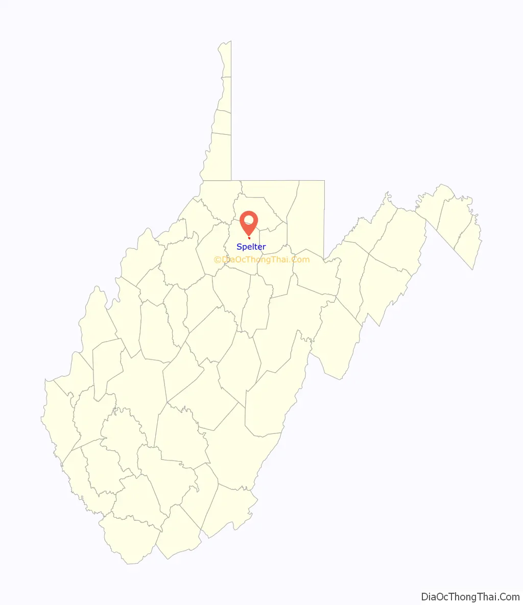
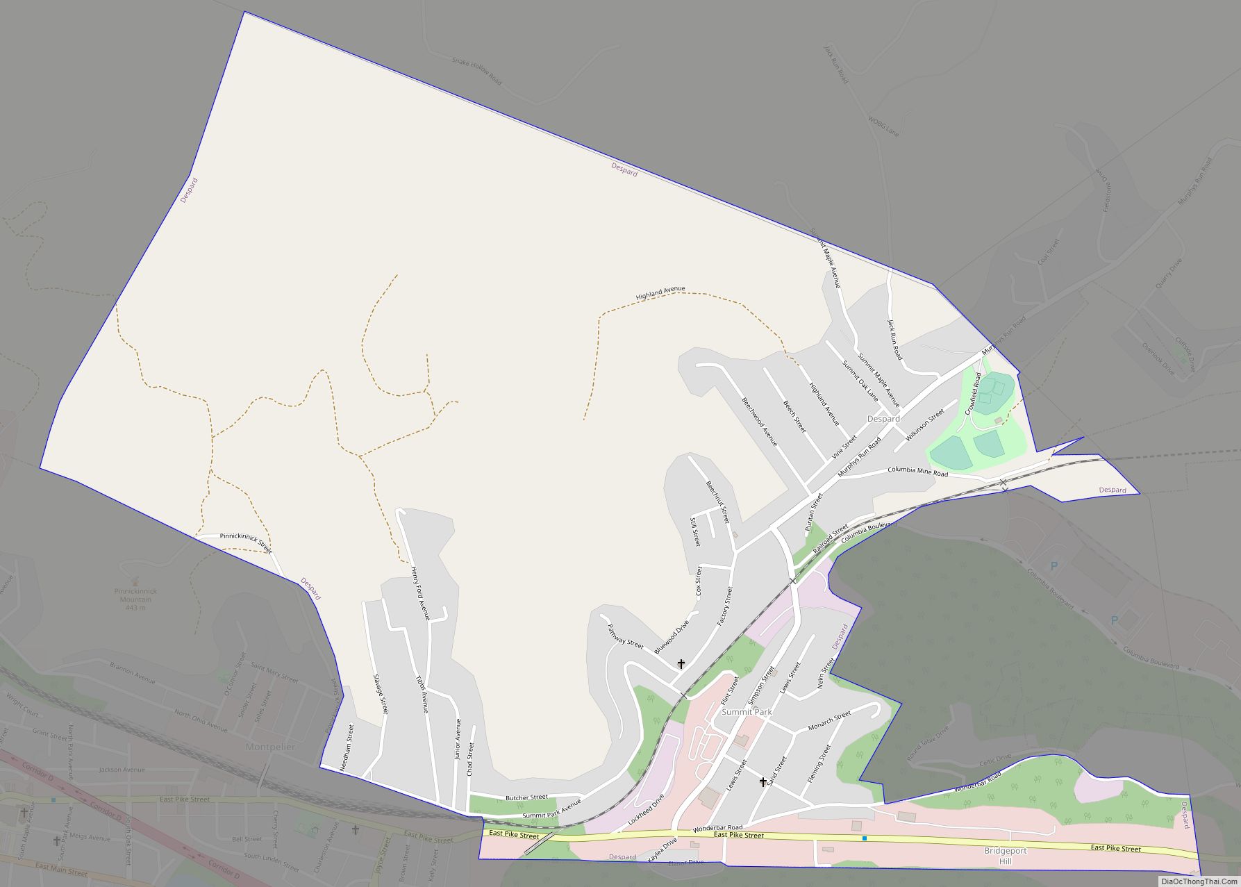
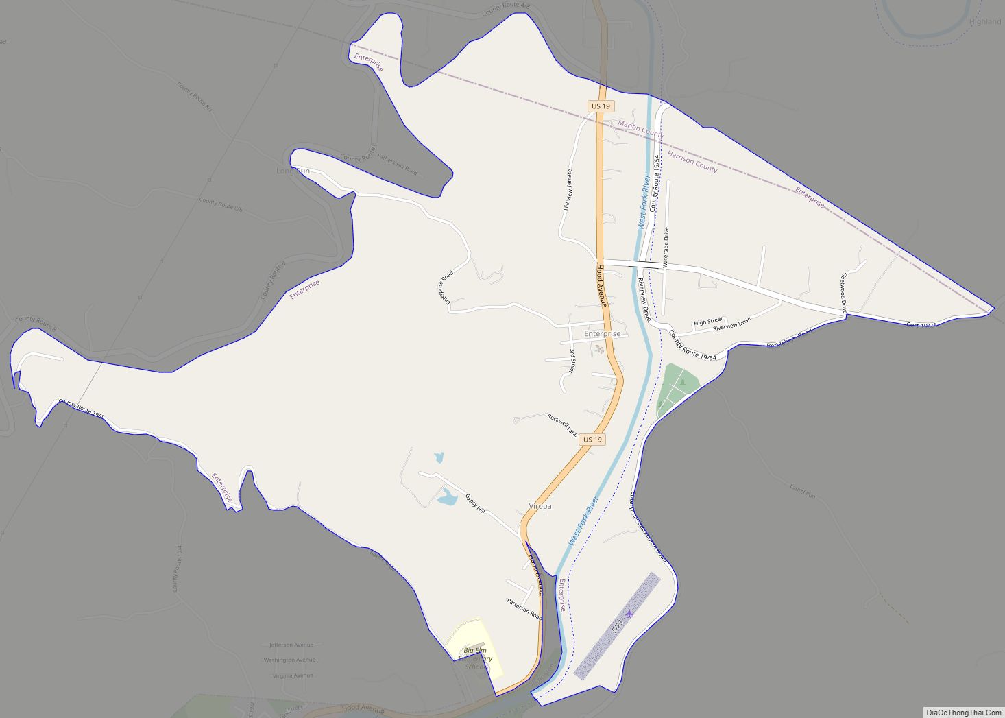
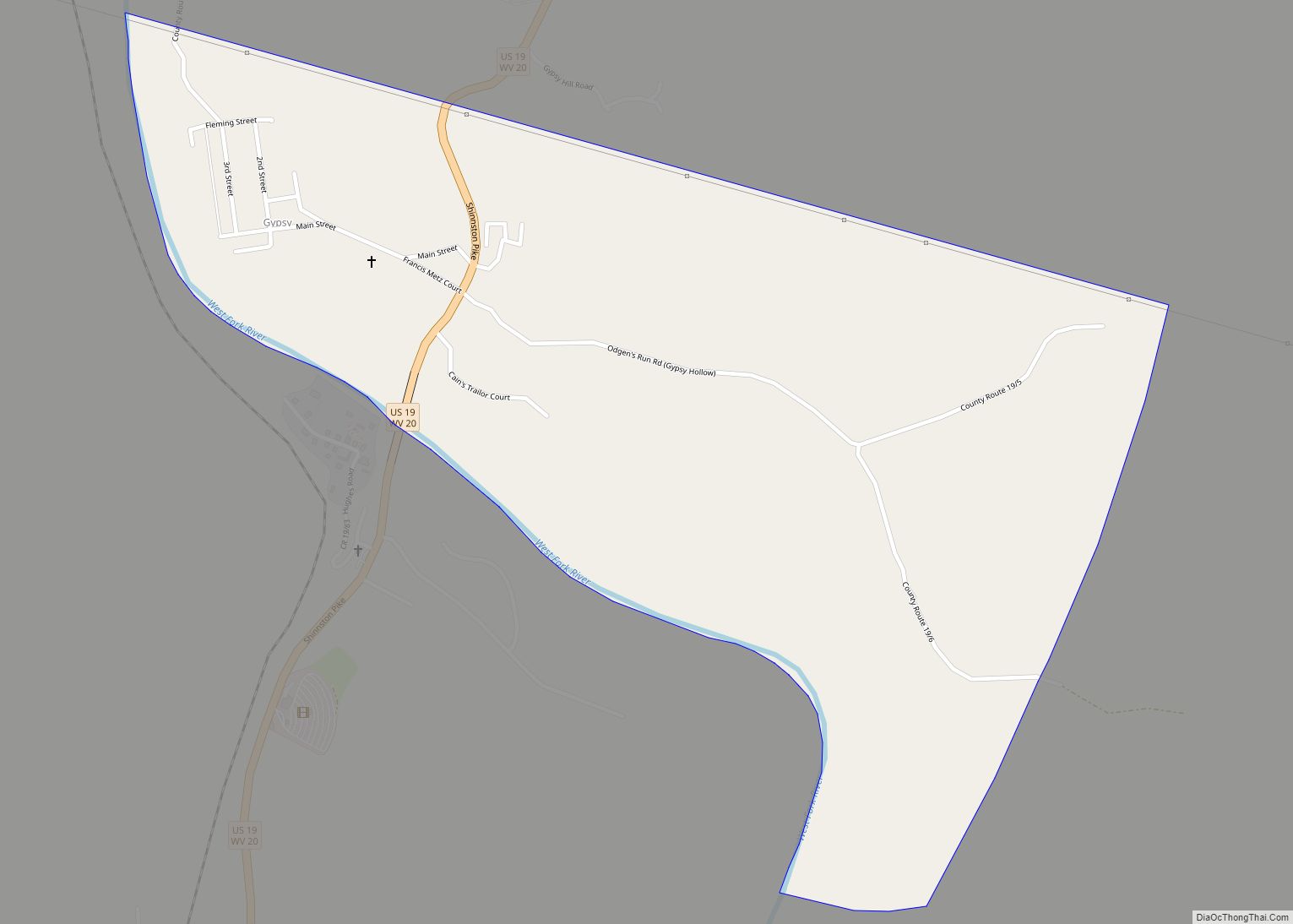
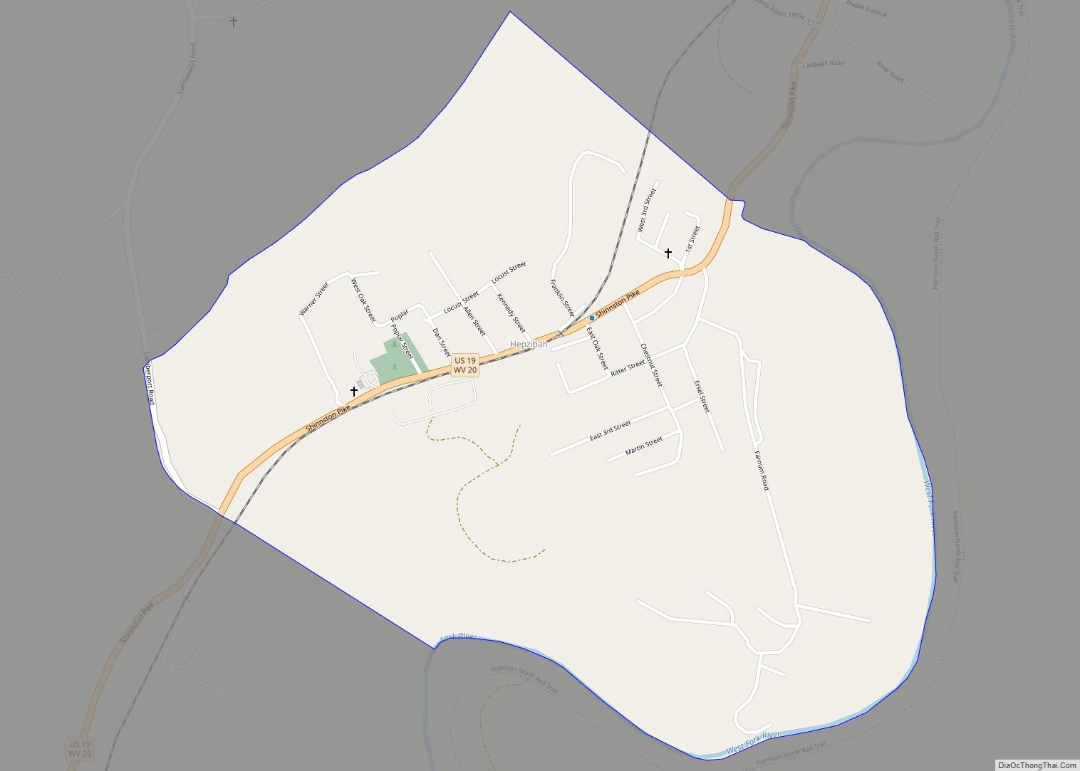
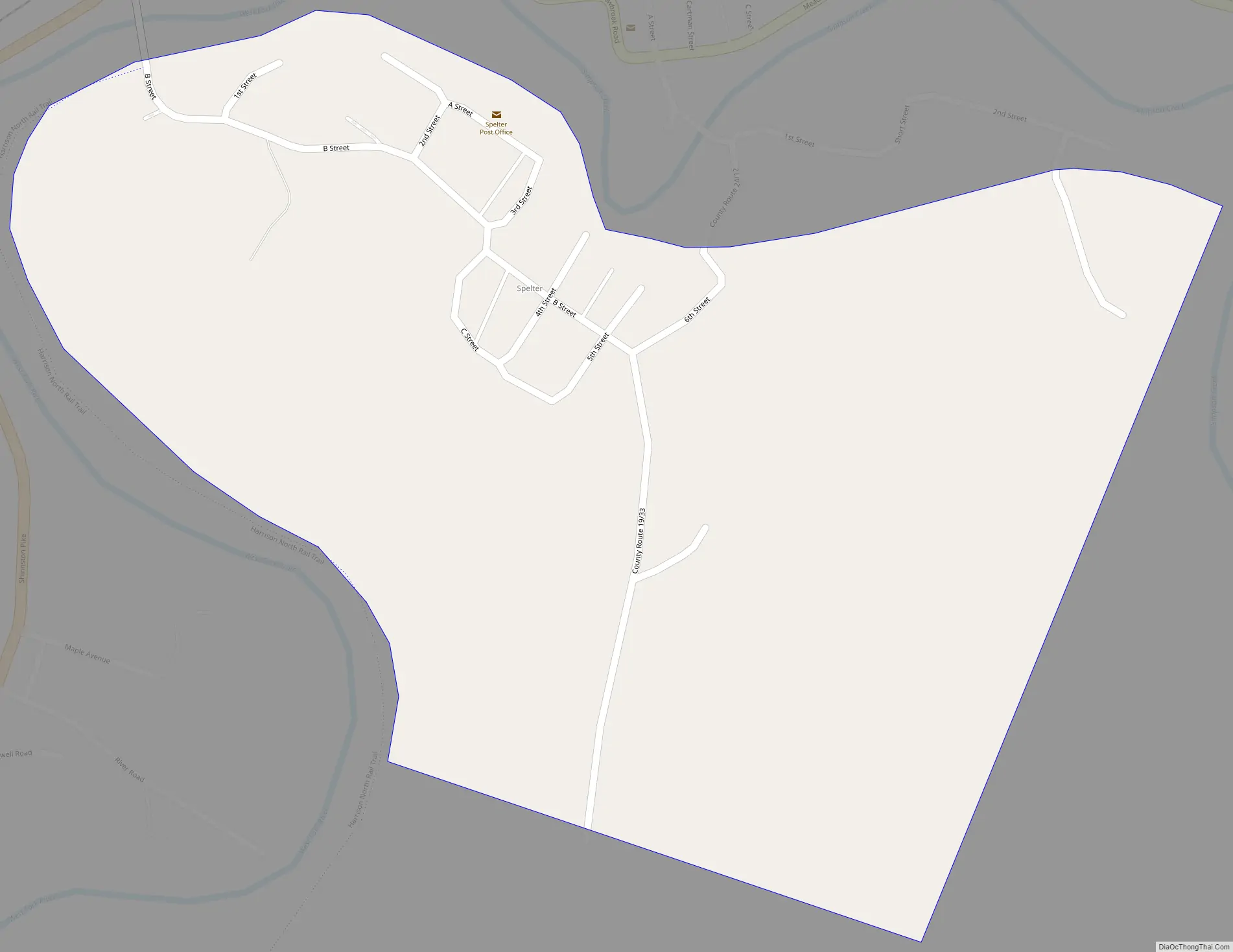
Spelter Road Map
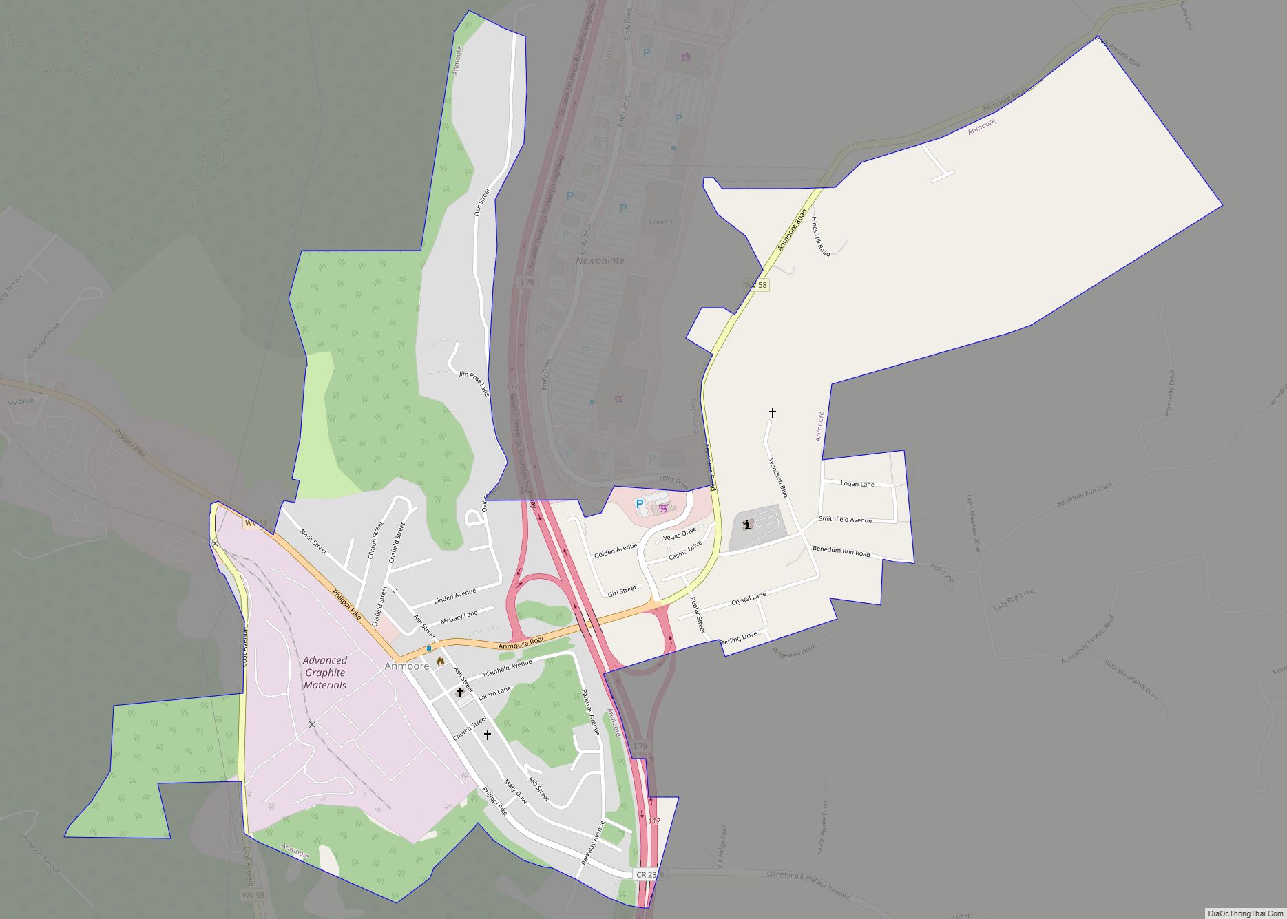
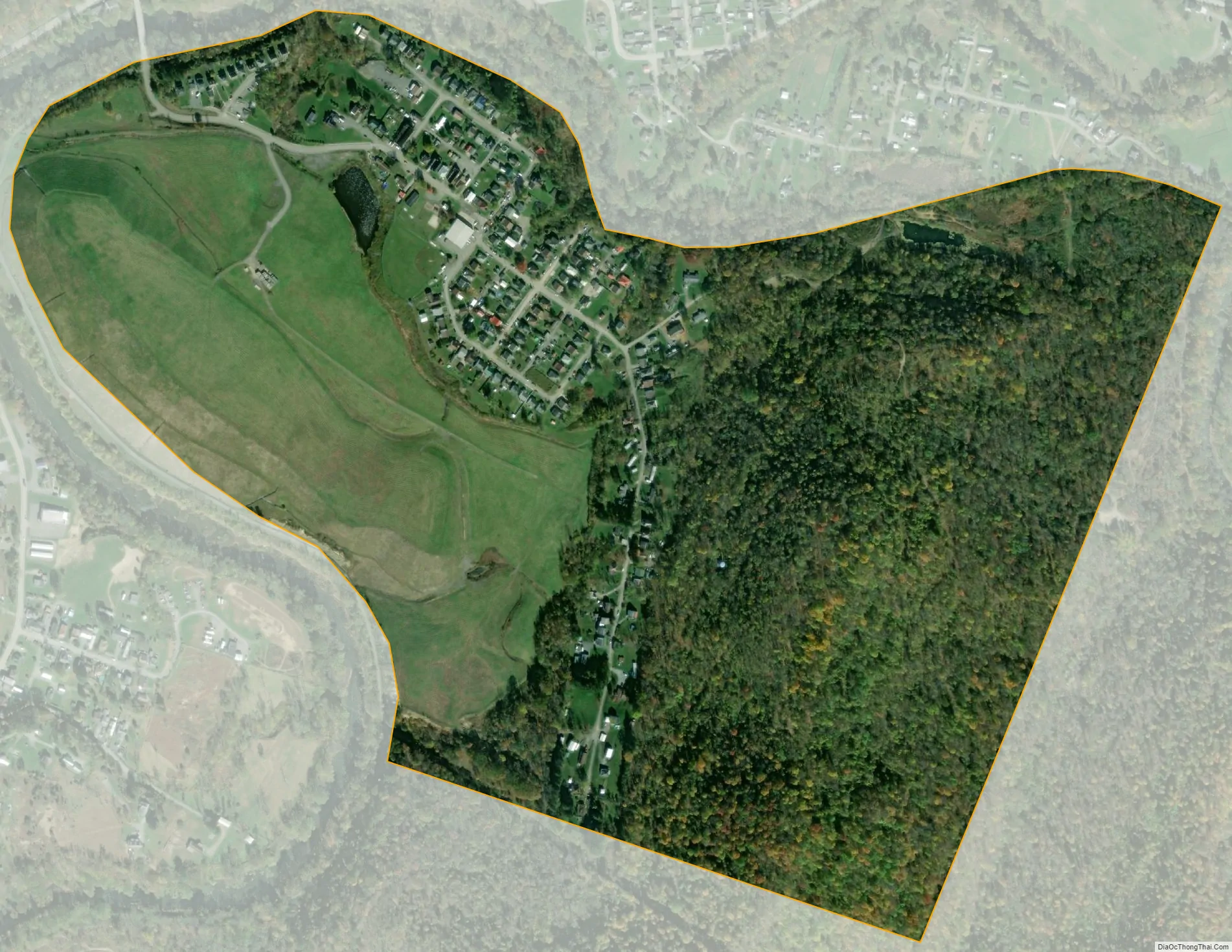
Spelter city Satellite Map
See also
Map of West Virginia State and its subdivision:- Barbour
- Berkeley
- Boone
- Braxton
- Brooke
- Cabell
- Calhoun
- Clay
- Doddridge
- Fayette
- Gilmer
- Grant
- Greenbrier
- Hampshire
- Hancock
- Hardy
- Harrison
- Jackson
- Jefferson
- Kanawha
- Lewis
- Lincoln
- Logan
- Marion
- Marshall
- Mason
- McDowell
- Mercer
- Mineral
- Mingo
- Monongalia
- Monroe
- Morgan
- Nicholas
- Ohio
- Pendleton
- Pleasants
- Pocahontas
- Preston
- Putnam
- Raleigh
- Randolph
- Ritchie
- Roane
- Summers
- Taylor
- Tucker
- Tyler
- Upshur
- Wayne
- Webster
- Wetzel
- Wirt
- Wood
- Wyoming
- Alabama
- Alaska
- Arizona
- Arkansas
- California
- Colorado
- Connecticut
- Delaware
- District of Columbia
- Florida
- Georgia
- Hawaii
- Idaho
- Illinois
- Indiana
- Iowa
- Kansas
- Kentucky
- Louisiana
- Maine
- Maryland
- Massachusetts
- Michigan
- Minnesota
- Mississippi
- Missouri
- Montana
- Nebraska
- Nevada
- New Hampshire
- New Jersey
- New Mexico
- New York
- North Carolina
- North Dakota
- Ohio
- Oklahoma
- Oregon
- Pennsylvania
- Rhode Island
- South Carolina
- South Dakota
- Tennessee
- Texas
- Utah
- Vermont
- Virginia
- Washington
- West Virginia
- Wisconsin
- Wyoming