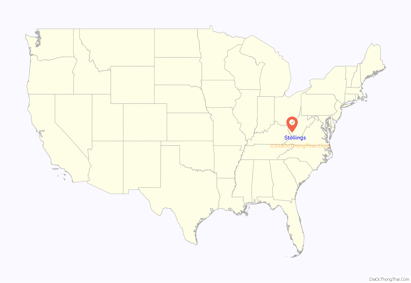
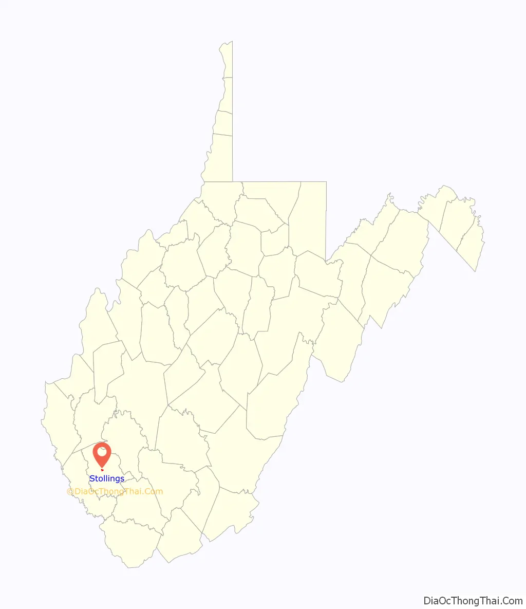
Stollings is an unincorporated community and census-designated place (CDP) in central Logan County, West Virginia, United States. As of the 2010 census, it had a population of 316.
| Name: | Stollings CDP |
|---|---|
| LSAD Code: | 57 |
| LSAD Description: | CDP (suffix) |
| State: | West Virginia |
| County: | Logan County |
| Elevation: | 673 ft (205 m) |
| Total Area: | 0.384 sq mi (0.99 km²) |
| Land Area: | 0.359 sq mi (0.93 km²) |
| Water Area: | 0.025 sq mi (0.06 km²) |
| Total Population: | 316 |
| Population Density: | 880.2/sq mi (339.8/km²) |
| ZIP code: | 25646 |
| Area code: | 304 & 681 |
| FIPS code: | 5476996 |
| GNISfeature ID: | 1547442 |
Online Interactive Map
Click on ![]() to view map in "full screen" mode.
to view map in "full screen" mode.
Stollings location map. Where is Stollings CDP?
Stollings Road Map
Stollings city Satellite Map
Geography
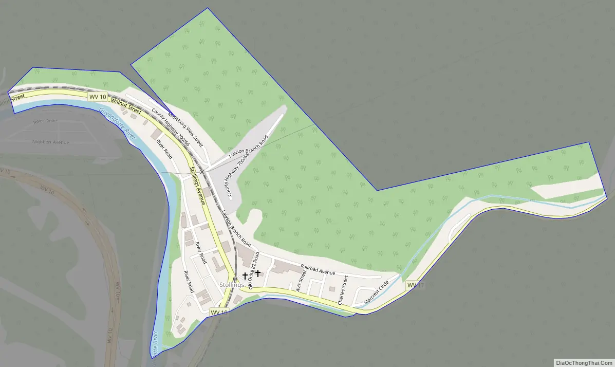
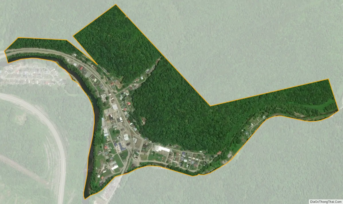
Stollings is located in central Logan County on the Guyandotte River at the junction of West Virginia Route 10 (WV 10) and the southern terminus of West Virginia Route 17 (WV 17), 1.5 miles (2.4 km) east-southeast of Logan, the county seat. In addition to the two state highways that serve the community (WV 10 and WV 10), the entire length of West Virginia Route 17 Truck (a short 0.3-mile [0.48 km] bypass for a low railroad overpass near the southern terminus of WV 17) is located within Stollings.
The CDP is situated immediately southeast of the city of Logan and north of the CDP of McConnell. Stollings has a post office with ZIP code 25646.
According to the U.S. Census Bureau, the Stollings CDP has a total area of 0.39 square miles (1.0 km), of which 0.02 square miles (0.06 km), or 6.39%, are water. Stollings sits at the confluence of Dingess Run with the Guyandotte River.
See also
Map of West Virginia State and its subdivision:- Barbour
- Berkeley
- Boone
- Braxton
- Brooke
- Cabell
- Calhoun
- Clay
- Doddridge
- Fayette
- Gilmer
- Grant
- Greenbrier
- Hampshire
- Hancock
- Hardy
- Harrison
- Jackson
- Jefferson
- Kanawha
- Lewis
- Lincoln
- Logan
- Marion
- Marshall
- Mason
- McDowell
- Mercer
- Mineral
- Mingo
- Monongalia
- Monroe
- Morgan
- Nicholas
- Ohio
- Pendleton
- Pleasants
- Pocahontas
- Preston
- Putnam
- Raleigh
- Randolph
- Ritchie
- Roane
- Summers
- Taylor
- Tucker
- Tyler
- Upshur
- Wayne
- Webster
- Wetzel
- Wirt
- Wood
- Wyoming
- Alabama
- Alaska
- Arizona
- Arkansas
- California
- Colorado
- Connecticut
- Delaware
- District of Columbia
- Florida
- Georgia
- Hawaii
- Idaho
- Illinois
- Indiana
- Iowa
- Kansas
- Kentucky
- Louisiana
- Maine
- Maryland
- Massachusetts
- Michigan
- Minnesota
- Mississippi
- Missouri
- Montana
- Nebraska
- Nevada
- New Hampshire
- New Jersey
- New Mexico
- New York
- North Carolina
- North Dakota
- Ohio
- Oklahoma
- Oregon
- Pennsylvania
- Rhode Island
- South Carolina
- South Dakota
- Tennessee
- Texas
- Utah
- Vermont
- Virginia
- Washington
- West Virginia
- Wisconsin
- Wyoming


