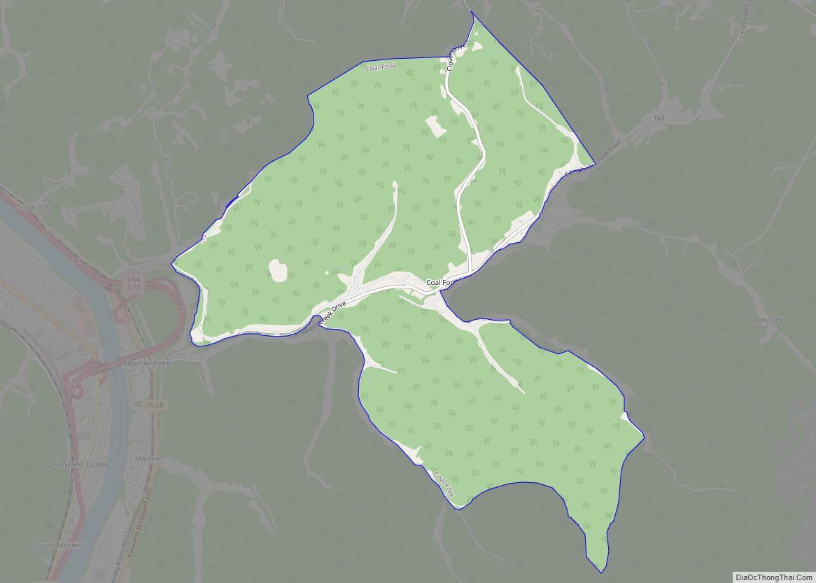
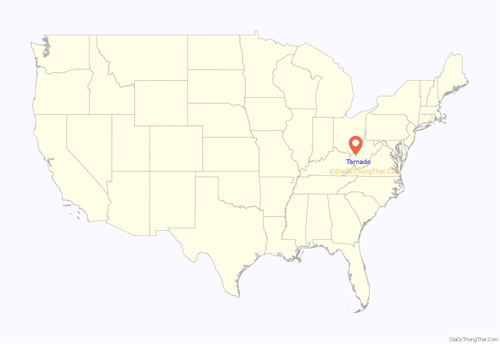
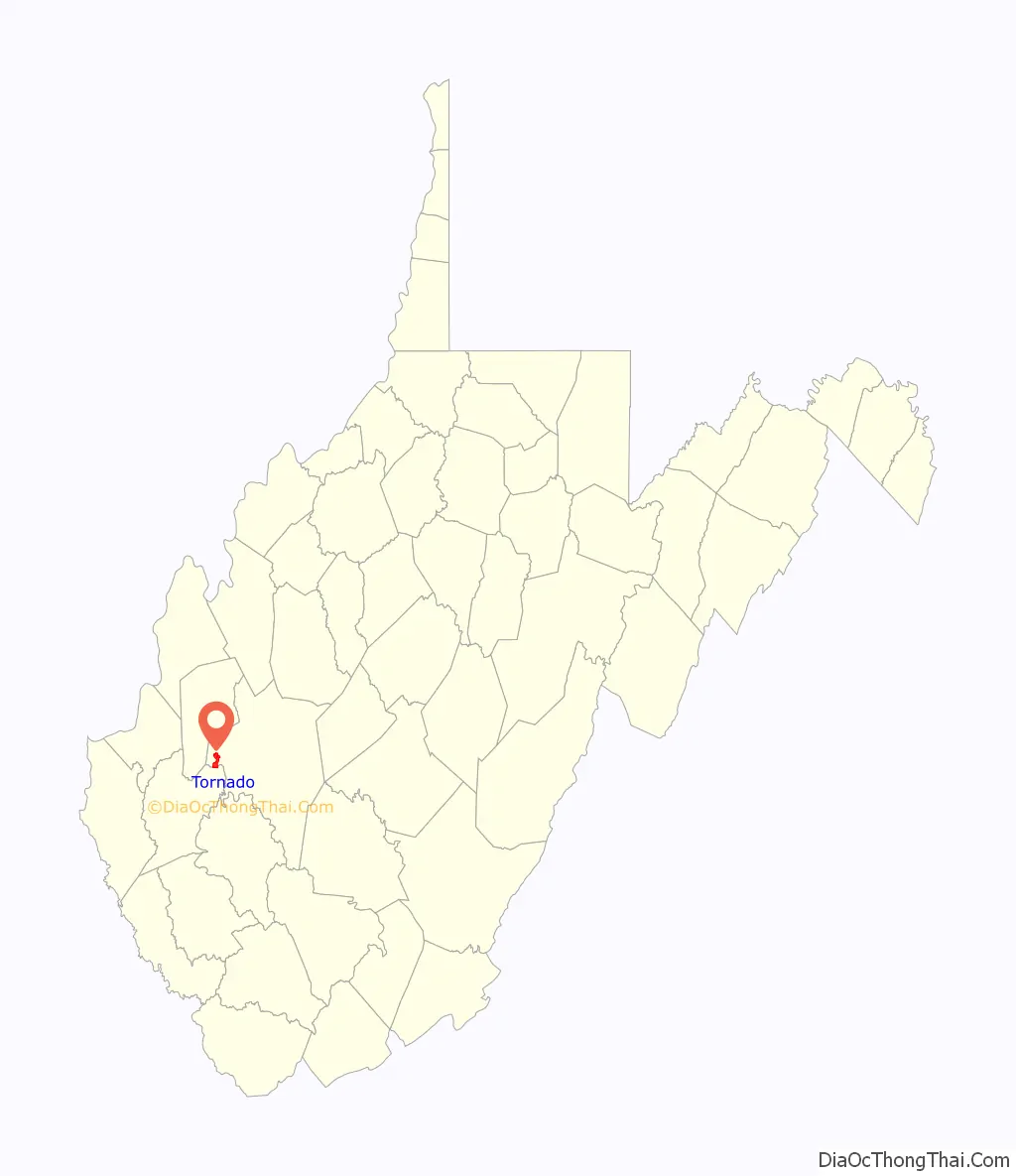
Tornado, also called Upper Falls, is a census-designated place (CDP) in Kanawha County, West Virginia, United States.
Four agencies of the United States government determine the official name of the community. The United States Postal Service established the Upper Falls of Coal Post Office in 1851, then replaced it with the Tornado Post Office in 1881 and today delivers mail within ZIP Code 25202 addressed to either Tornado or Upper Falls. The United States Board on Geographic Names authenticated the name of the community as Tornado in 1980, changed it to Upper Falls in 2010 and back to Tornado in 2013. After approving the replacement of the Tornado CDP with the much larger Upper Falls CDP in 2010, the Kanawha County Commission decided in 2013 that residents of the community supported the name Tornado over Upper Falls and requested that the name be changed back. The United States Census Bureau originated the Tornado CDP in 1990, changed to the Upper Falls CDP in 2010 and then to the Tornado CDP for 2020. The United States National Geodetic Survey maintains a bench mark in the community named Upper Falls, which has never changed.
The 2000 Tornado CDP had a population of 1,111 and a total area of 3.60 square miles. The 2010 Upper Falls CDP, which was much larger, had a population of 3,701 and a total area of 17.18 square miles, making it the largest CDP in West Virginia by area. The 2020 Tornado CDP is again much smaller, with a population of 1,081 and a total area of 3.67 square miles.
The adjacent Coal River gives the community its historical name from the cascading waters of its Upper Falls.
| Name: | Tornado CDP |
|---|---|
| LSAD Code: | 57 |
| LSAD Description: | CDP (suffix) |
| State: | West Virginia |
| County: | Kanawha County |
| Elevation: | 614 ft (187 m) |
| Total Area: | 3.67 sq mi (9.51 km²) |
| Land Area: | 3.59 sq mi (9.29 km²) |
| Water Area: | 0.09 sq mi (0.23 km²) |
| Total Population: | 1,081 |
| Area code: | 304/681 |
| FIPS code: | 5480764 |
| GNISfeature ID: | 1555859 |
Online Interactive Map
Click on ![]() to view map in "full screen" mode.
to view map in "full screen" mode.
Tornado location map. Where is Tornado CDP?
History
The Upper Falls of the Coal River was discovered in 1742 by John Peter Salling during an expedition along the Coal River. Salling and four companions each received a governor’s commission from the state of Virginia to explore the territory east of the Mississippi River, in return for 10,000-acre (4,000 ha) land grants. It was this group that also discovered coal along the banks of the Coal River.
It was not until after the Revolutionary War that European settlers began moving into the area. Even then, the few who survived the attacks of the native peoples usually fled to safer destinations. But by around 1800, a gristmill was established by Joseph Thomas at the Upper Falls which continued in operation until the 1930s.
Beginning about 1830, timber harvested from the region was floated on the Coal River to Saint Albans. At the same time, great quantities of marketable cannel coal were found on the upper Coal River. However, only at periods of high water could logs and shallow wooden boats loaded with coal be drifted over the Upper Falls and Lower Falls and on down the river.
A system of wooden-crib locks and dams designed to make Coal River navigable was constructed in the 1850s to transport cannel coal, bituminous coal, coal oil and timber to market. This began the era of two-way commercial steamboat traffic on the river. The Upper Falls was the site of Upper Falls Lock and Dam, and Edward Kenna, who also developed a sawmill at the Upper Falls around 1850, was lockmaster; his son, John Edward Kenna, later served as U.S. senator from West Virginia. Damage caused by ongoing flooding and the outbreak of the Civil War suspended steam tug navigation of Coal River. Traffic resumed after the war, but ended permanently in 1881.
From 1858, at least ten failed attempts were made to build a rail line up the Coal River. Finally, under the direction of General Cornelius Clarkson Watts, a Confederate veteran, construction of the Coal River and Western Railway began in 1902 and was completed in 1904. The lasting economic boom brought by the railroad to the region saw the bustling Upper Falls Station offer daily service for both passengers and freight. Timber extraction largely ended in the 1920s, but the rail line, now owned by CSX Transportation, still transports massive amounts of bituminous coal to global markets.
There was a rapid influx of people to the area during and soon after World War II, and many came to live in Tornado. They found employment in the defense and chemical manufacturing industries in the Kanawha Valley and benefited from economic prosperity as a result. Today, the community is a residential suburb and recreation destination of the Charleston metropolitan area.
Tornado Road Map
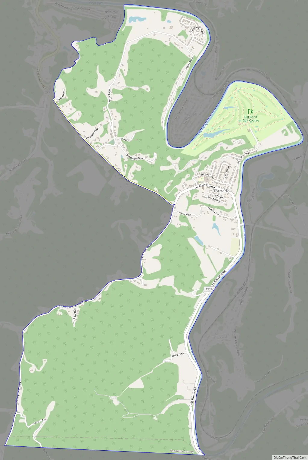
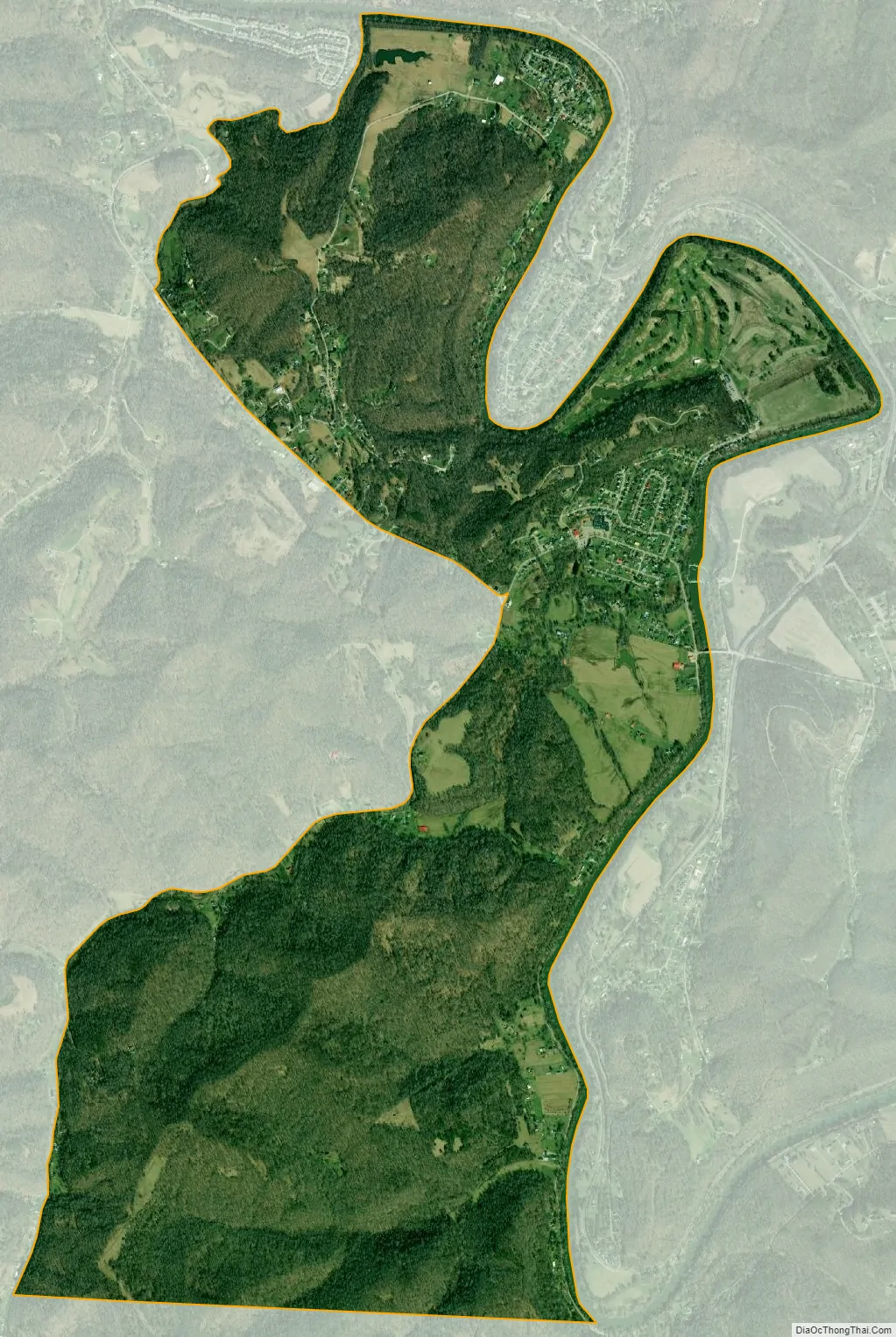
Tornado city Satellite Map
Geography
Tornado is located at 38°20′34″N 81°50′39″W / 38.34278°N 81.84417°W / 38.34278; -81.84417 (38.342778, −81.844167).
According to the United States Census Bureau, the CDP has a total area of 3.67 square miles (9.51 km), of which 3.59 square miles (9.29 km) are land and 0.089 square miles (0.23 km), or 2.37%, is water.
The United States Geological Survey locates the community’s namesake Upper Falls of Coal River at 38°20′33″N 81°50′29″W (38.342594, −81.841518).
The United States National Geodetic Survey bench mark in the community is at 38°20′23″N 81°50′20″W (38.339722, −81.838889).
See also
Map of West Virginia State and its subdivision:- Barbour
- Berkeley
- Boone
- Braxton
- Brooke
- Cabell
- Calhoun
- Clay
- Doddridge
- Fayette
- Gilmer
- Grant
- Greenbrier
- Hampshire
- Hancock
- Hardy
- Harrison
- Jackson
- Jefferson
- Kanawha
- Lewis
- Lincoln
- Logan
- Marion
- Marshall
- Mason
- McDowell
- Mercer
- Mineral
- Mingo
- Monongalia
- Monroe
- Morgan
- Nicholas
- Ohio
- Pendleton
- Pleasants
- Pocahontas
- Preston
- Putnam
- Raleigh
- Randolph
- Ritchie
- Roane
- Summers
- Taylor
- Tucker
- Tyler
- Upshur
- Wayne
- Webster
- Wetzel
- Wirt
- Wood
- Wyoming
- Alabama
- Alaska
- Arizona
- Arkansas
- California
- Colorado
- Connecticut
- Delaware
- District of Columbia
- Florida
- Georgia
- Hawaii
- Idaho
- Illinois
- Indiana
- Iowa
- Kansas
- Kentucky
- Louisiana
- Maine
- Maryland
- Massachusetts
- Michigan
- Minnesota
- Mississippi
- Missouri
- Montana
- Nebraska
- Nevada
- New Hampshire
- New Jersey
- New Mexico
- New York
- North Carolina
- North Dakota
- Ohio
- Oklahoma
- Oregon
- Pennsylvania
- Rhode Island
- South Carolina
- South Dakota
- Tennessee
- Texas
- Utah
- Vermont
- Virginia
- Washington
- West Virginia
- Wisconsin
- Wyoming