West Logan is a town along the Guyandotte River in Logan County, West Virginia, United States. The population was 400 at the 2020 census. For unknown reasons, some sources report West Logan to lay west of the county seat at Logan, attributing to this fact the name.
| Name: | West Logan town |
|---|---|
| LSAD Code: | 43 |
| LSAD Description: | town (suffix) |
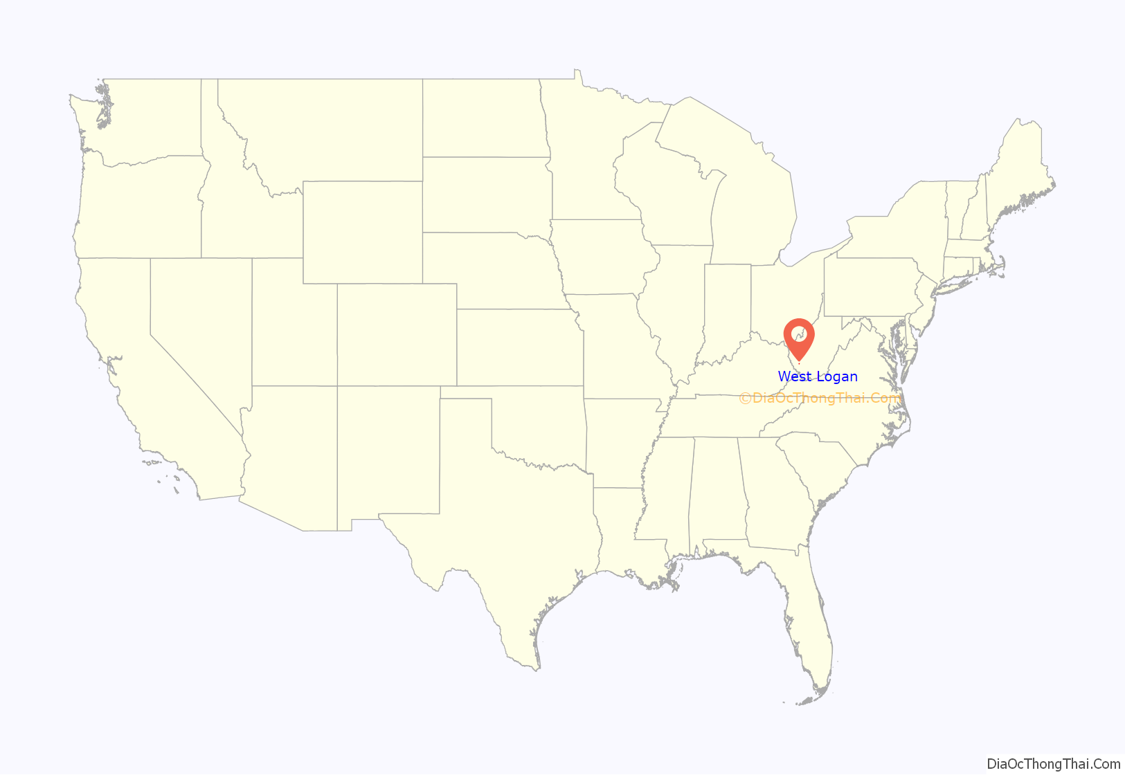
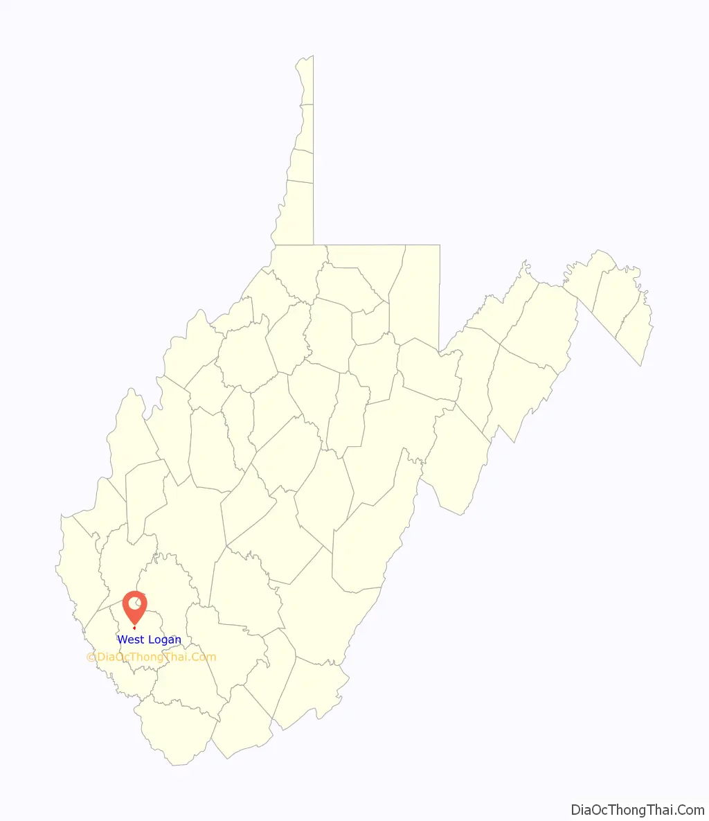
| State: | West Virginia |
| County: | Logan County |
| Elevation: | 682 ft (208 m) |
| Total Area: | 0.34 sq mi (0.87 km²) |
| Land Area: | 0.34 sq mi (0.87 km²) |
| Water Area: | 0.00 sq mi (0.00 km²) |
| Total Population: | 400 |
| Population Density: | 1,076.92/sq mi (416.35/km²) |
| ZIP code: | 25601 |
| Area code: | 304 |
| FIPS code: | 5485900 |
| GNISfeature ID: | 1555948 |
Online Interactive Map
Click on ![]() to view map in "full screen" mode.
to view map in "full screen" mode.
West Logan location map. Where is West Logan town?
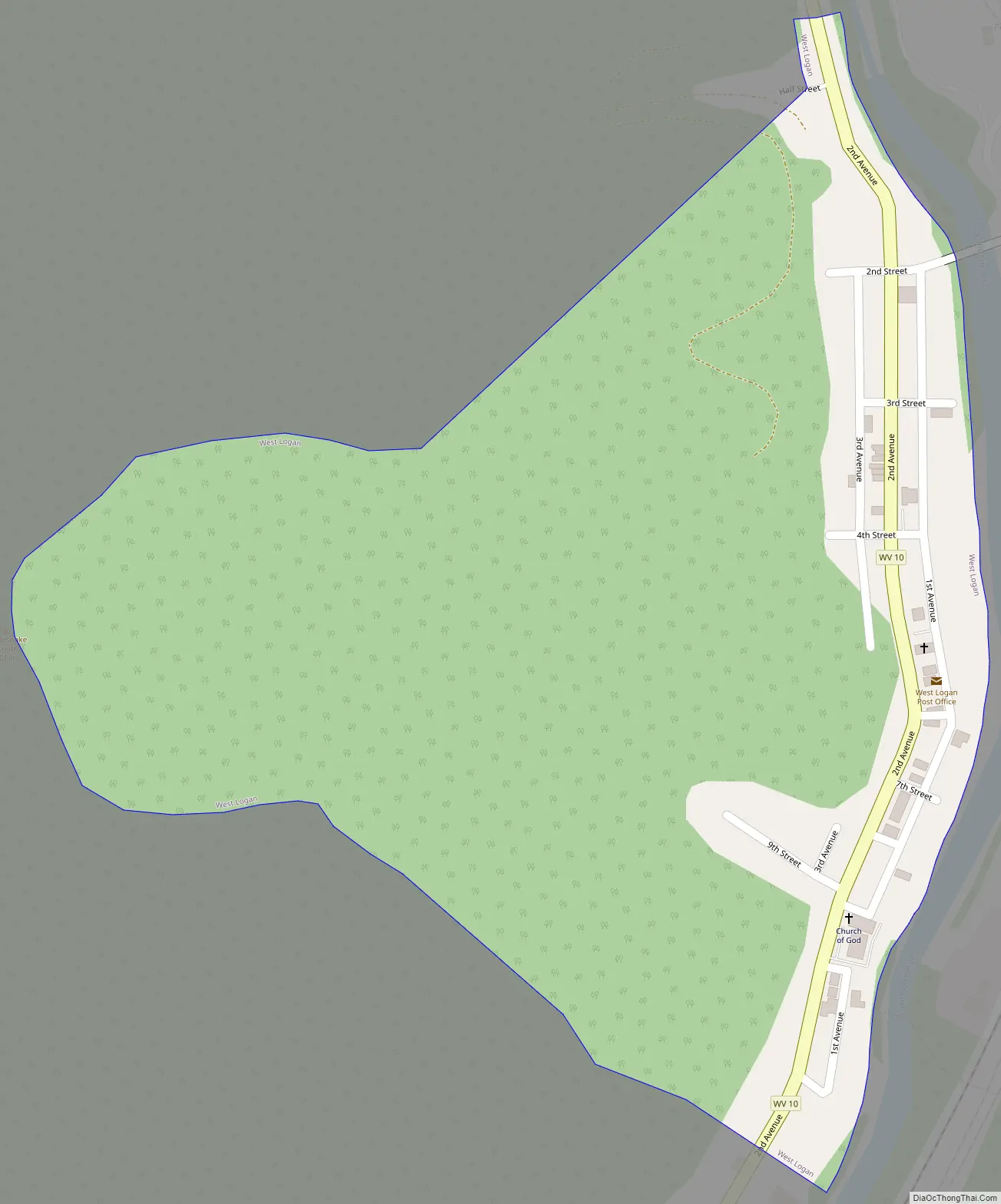
West Logan Road Map
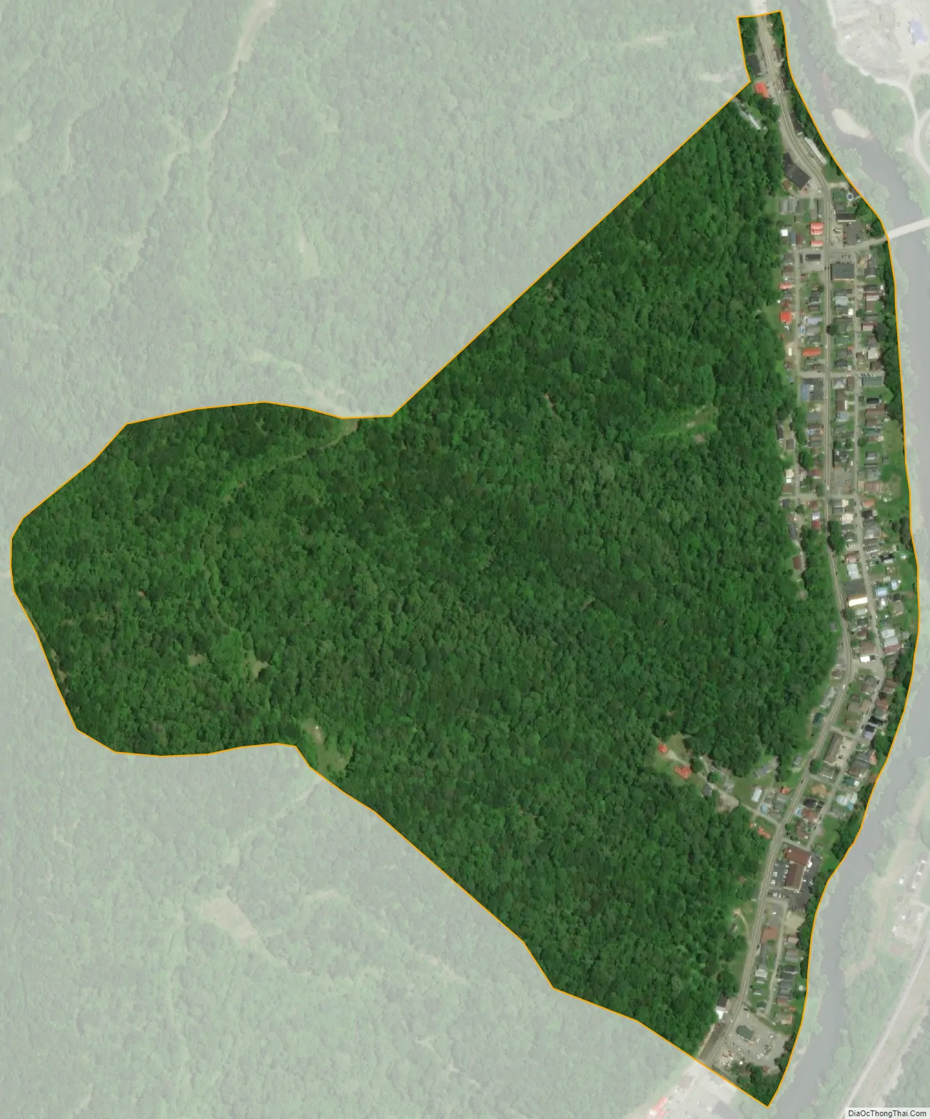
West Logan city Satellite Map
Geography
West Logan is located at 37°52′10″N 81°59′14″W / 37.869557°N 81.987282°W / 37.869557; -81.987282 (37.869557, -81.987282). The town primarily occupies bottomland along the west bank of the Guyandotte River, though its municipal boundaries stretch westward to the summit of Rattlesnake Knob. The community of Peach Creek lies across the river to the northeast, and the community of Aracoma lies to the southwest.
West Virginia Route 10 (2nd Avenue) traverses West Logan, connecting the town with Logan to the southeast and Mitchell Heights and Chapmanville to the north. A bridge along Old Guyan River Road crosses the Guyandotte River and provides access to the Peach Creek area.
According to the United States Census Bureau, the town has a total area of 0.34 square miles (0.88 km), all land.
See also
Map of West Virginia State and its subdivision:- Barbour
- Berkeley
- Boone
- Braxton
- Brooke
- Cabell
- Calhoun
- Clay
- Doddridge
- Fayette
- Gilmer
- Grant
- Greenbrier
- Hampshire
- Hancock
- Hardy
- Harrison
- Jackson
- Jefferson
- Kanawha
- Lewis
- Lincoln
- Logan
- Marion
- Marshall
- Mason
- McDowell
- Mercer
- Mineral
- Mingo
- Monongalia
- Monroe
- Morgan
- Nicholas
- Ohio
- Pendleton
- Pleasants
- Pocahontas
- Preston
- Putnam
- Raleigh
- Randolph
- Ritchie
- Roane
- Summers
- Taylor
- Tucker
- Tyler
- Upshur
- Wayne
- Webster
- Wetzel
- Wirt
- Wood
- Wyoming
- Alabama
- Alaska
- Arizona
- Arkansas
- California
- Colorado
- Connecticut
- Delaware
- District of Columbia
- Florida
- Georgia
- Hawaii
- Idaho
- Illinois
- Indiana
- Iowa
- Kansas
- Kentucky
- Louisiana
- Maine
- Maryland
- Massachusetts
- Michigan
- Minnesota
- Mississippi
- Missouri
- Montana
- Nebraska
- Nevada
- New Hampshire
- New Jersey
- New Mexico
- New York
- North Carolina
- North Dakota
- Ohio
- Oklahoma
- Oregon
- Pennsylvania
- Rhode Island
- South Carolina
- South Dakota
- Tennessee
- Texas
- Utah
- Vermont
- Virginia
- Washington
- West Virginia
- Wisconsin
- Wyoming


