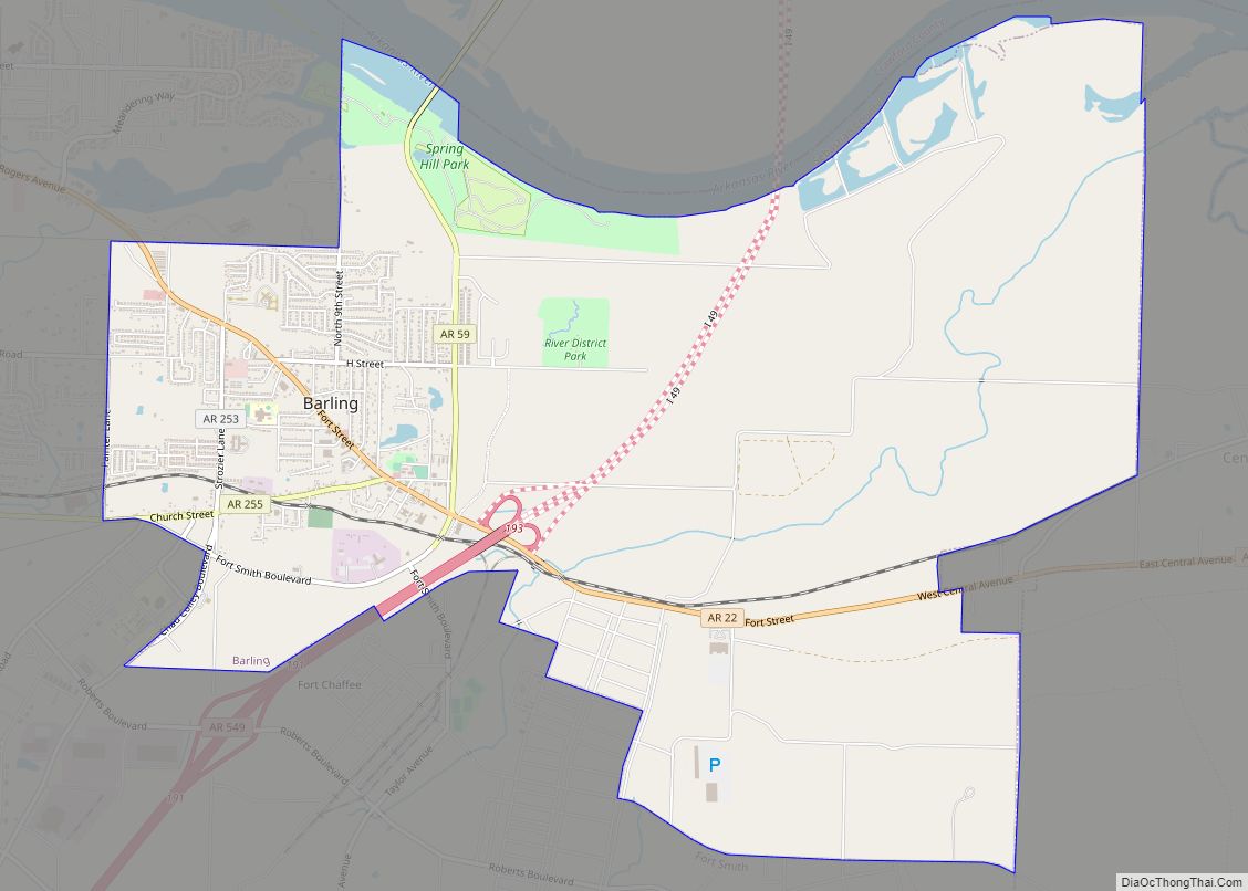
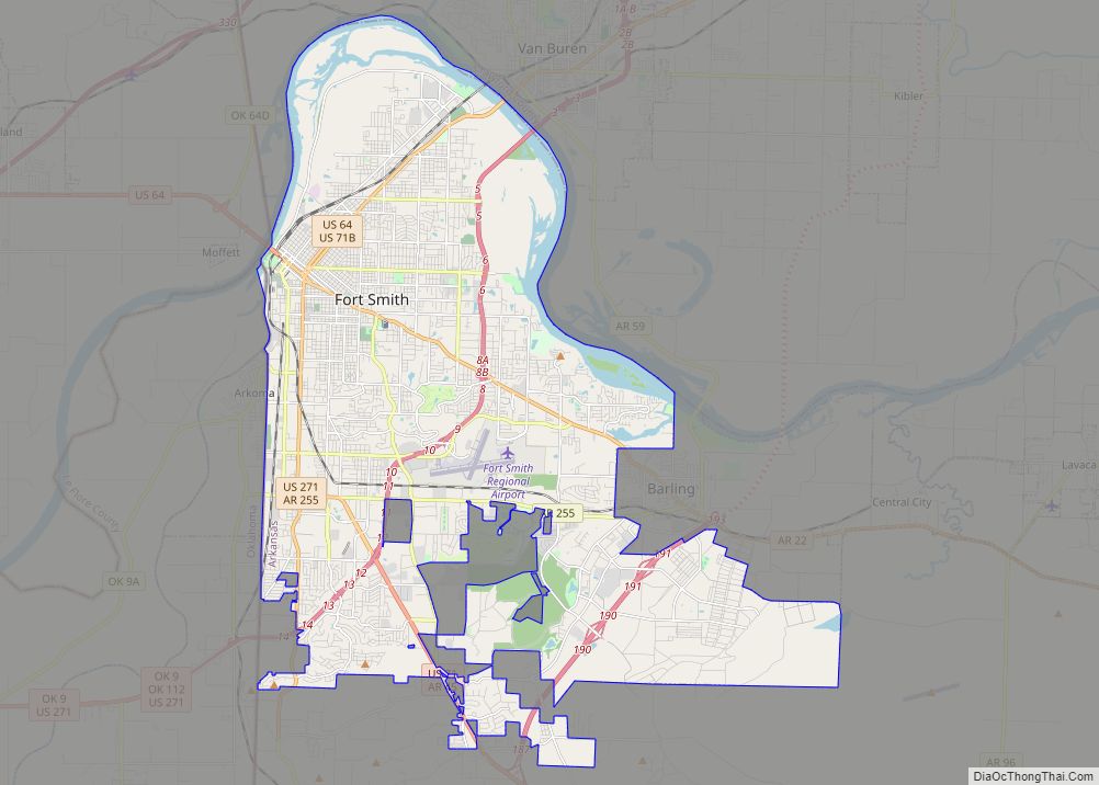
Barling is a city in Sebastian County, Arkansas, United States. It is part of the Fort Smith, Arkansas–Oklahoma Metropolitan Statistical Area. As of the 2020 Census the population was 4,782, ranking it eighth in the Greater Fort Smith Area. Barling was incorporated in 1956.
| Name: | Barling city |
|---|---|
| LSAD Code: | 25 |
| LSAD Description: | city (suffix) |
| State: | Arkansas |
| County: | Sebastian County |
| Elevation: | 486 ft (148 m) |
| Total Area: | 10.68 sq mi (27.67 km²) |
| Land Area: | 10.27 sq mi (26.60 km²) |
| Water Area: | 0.41 sq mi (1.07 km²) |
| Total Population: | 4,782 |
| Population Density: | 465.67/sq mi (179.79/km²) |
| ZIP code: | 72923 |
| Area code: | 479 |
| FIPS code: | 0503640 |
| GNISfeature ID: | 0057330 |
Online Interactive Map
Click on ![]() to view map in "full screen" mode.
to view map in "full screen" mode.
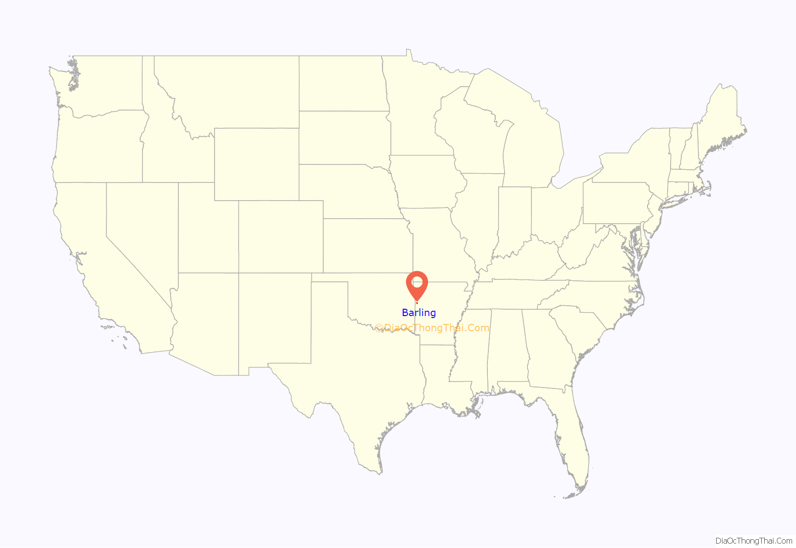
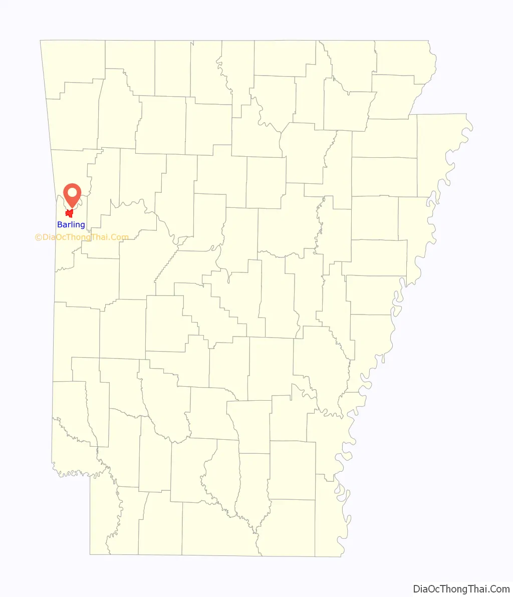
Barling location map. Where is Barling city?
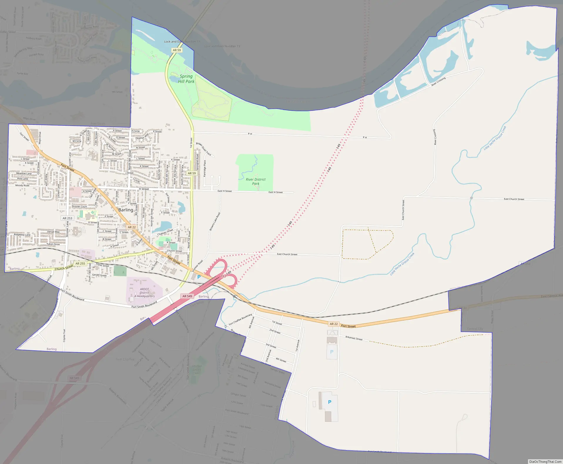
Barling Road Map
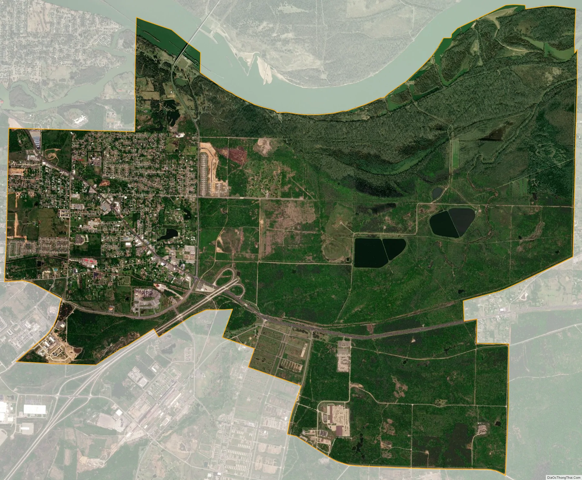
Barling city Satellite Map
Geography
Barling is located at 35°19′22″N 94°18′2″W / 35.32278°N 94.30056°W / 35.32278; -94.30056 (35.322728, -94.300663). It was named after Aaron Barling, a soldier originally posted to Fort Gibson in Indian Territory who subsequently farmed in Arkansas.
According to the United States Census Bureau, the city has a total area of 22.1 square miles (57 km), of which 21.9 square miles (57 km) is land and 0.1 square miles (0.26 km) (0.59%) is water.
See also
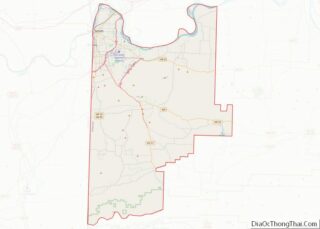
Map of Arkansas State and its subdivision:- Arkansas
- Ashley
- Baxter
- Benton
- Boone
- Bradley
- Calhoun
- Carroll
- Chicot
- Clark
- Clay
- Cleburne
- Cleveland
- Columbia
- Conway
- Craighead
- Crawford
- Crittenden
- Cross
- Dallas
- Desha
- Drew
- Faulkner
- Franklin
- Fulton
- Garland
- Grant
- Greene
- Hempstead
- Hot Spring
- Howard
- Independence
- Izard
- Jackson
- Jefferson
- Johnson
- Lafayette
- Lawrence
- Lee
- Lincoln
- Little River
- Logan
- Lonoke
- Madison
- Marion
- Miller
- Mississippi
- Monroe
- Montgomery
- Nevada
- Newton
- Ouachita
- Perry
- Phillips
- Pike
- Poinsett
- Polk
- Pope
- Prairie
- Pulaski
- Randolph
- Saint Francis
- Saline
- Scott
- Searcy
- Sebastian
- Sevier
- Sharp
- Stone
- Union
- Van Buren
- Washington
- White
- Woodruff
- Yell
- Alabama
- Alaska
- Arizona
- Arkansas
- California
- Colorado
- Connecticut
- Delaware
- District of Columbia
- Florida
- Georgia
- Hawaii
- Idaho
- Illinois
- Indiana
- Iowa
- Kansas
- Kentucky
- Louisiana
- Maine
- Maryland
- Massachusetts
- Michigan
- Minnesota
- Mississippi
- Missouri
- Montana
- Nebraska
- Nevada
- New Hampshire
- New Jersey
- New Mexico
- New York
- North Carolina
- North Dakota
- Ohio
- Oklahoma
- Oregon
- Pennsylvania
- Rhode Island
- South Carolina
- South Dakota
- Tennessee
- Texas
- Utah
- Vermont
- Virginia
- Washington
- West Virginia
- Wisconsin
- Wyoming