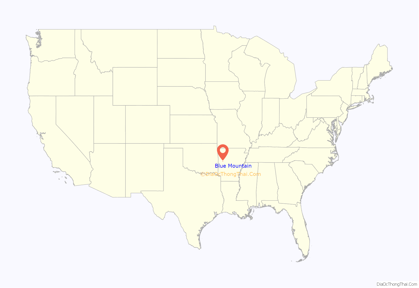
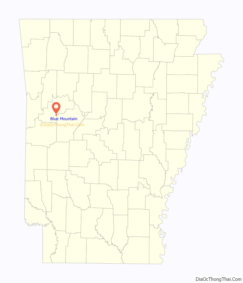
Blue Mountain is a town in Logan County, Arkansas, United States. The population was 124 at the 2010 census.
Edwin “Big Ed” Wilkes (1931–1998), a radio personality in Lubbock, Texas, was born in Blue Mountain but moved to Lubbock with his family in 1942.
| Name: | Blue Mountain town |
|---|---|
| LSAD Code: | 43 |
| LSAD Description: | town (suffix) |
| State: | Arkansas |
| County: | Logan County |
| Elevation: | 495 ft (151 m) |
| Total Area: | 1.07 sq mi (2.77 km²) |
| Land Area: | 1.06 sq mi (2.76 km²) |
| Water Area: | 0.00 sq mi (0.01 km²) |
| Total Population: | 88 |
| Population Density: | 82.63/sq mi (31.90/km²) |
| ZIP code: | 72826 |
| Area code: | 479 |
| FIPS code: | 0507210 |
| GNISfeature ID: | 2405283 |
Online Interactive Map
Click on ![]() to view map in "full screen" mode.
to view map in "full screen" mode.
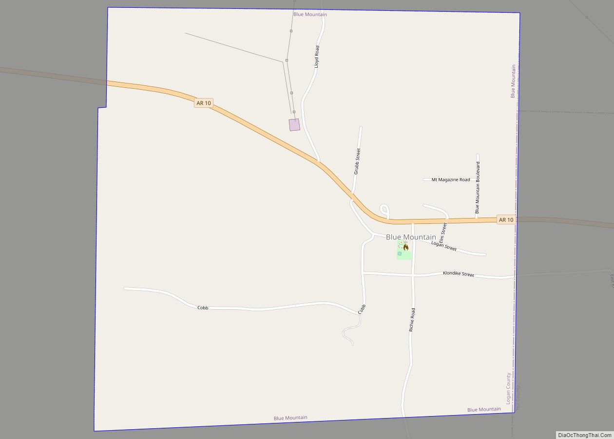
Blue Mountain location map. Where is Blue Mountain town?
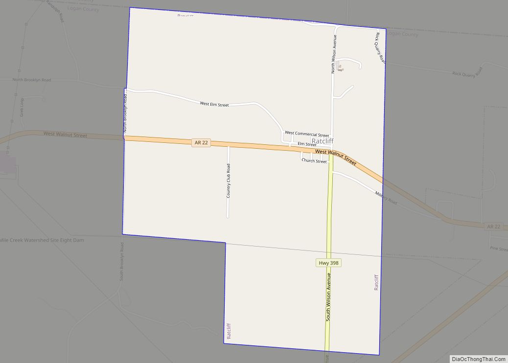
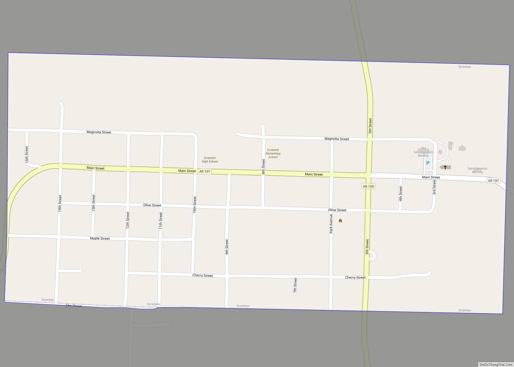
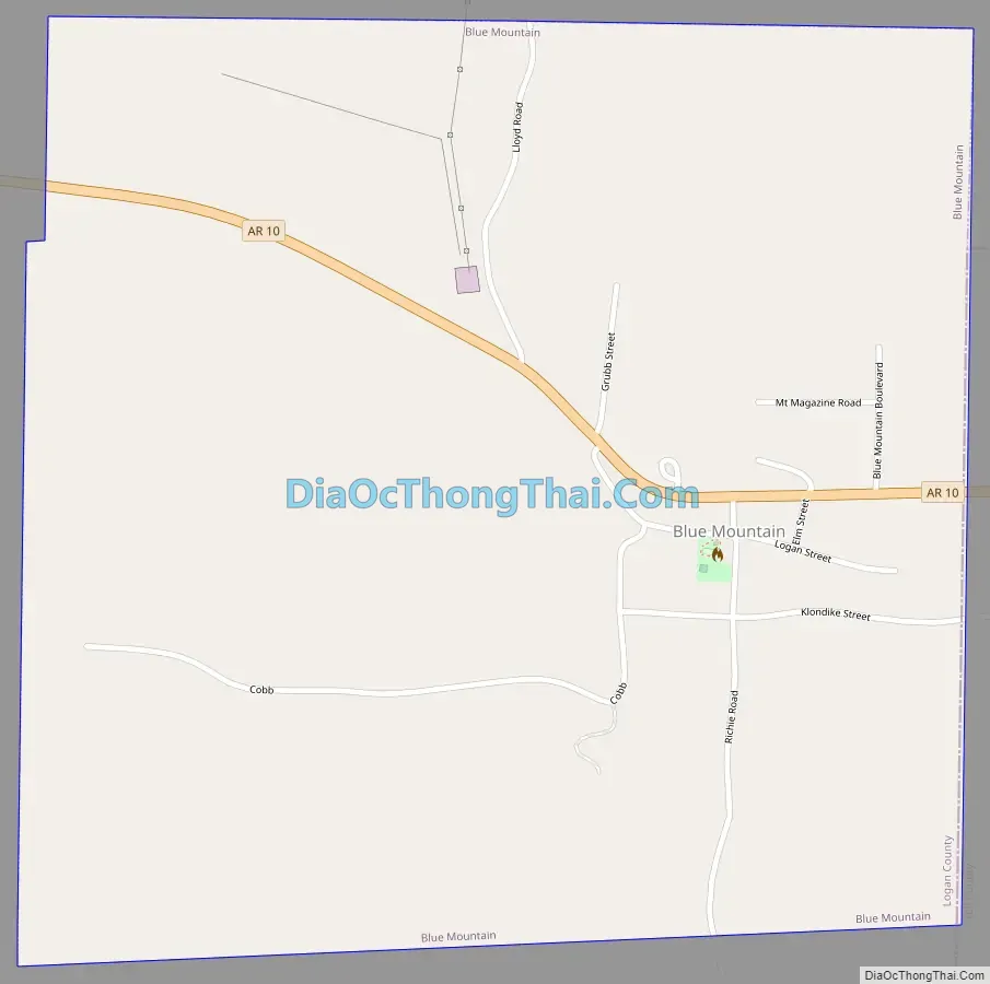
Blue Mountain Road Map
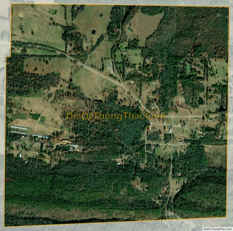
Blue Mountain city Satellite Map
Geography
Blue Mountain is located south of the center of Logan County and is bordered to the east by Yell County.
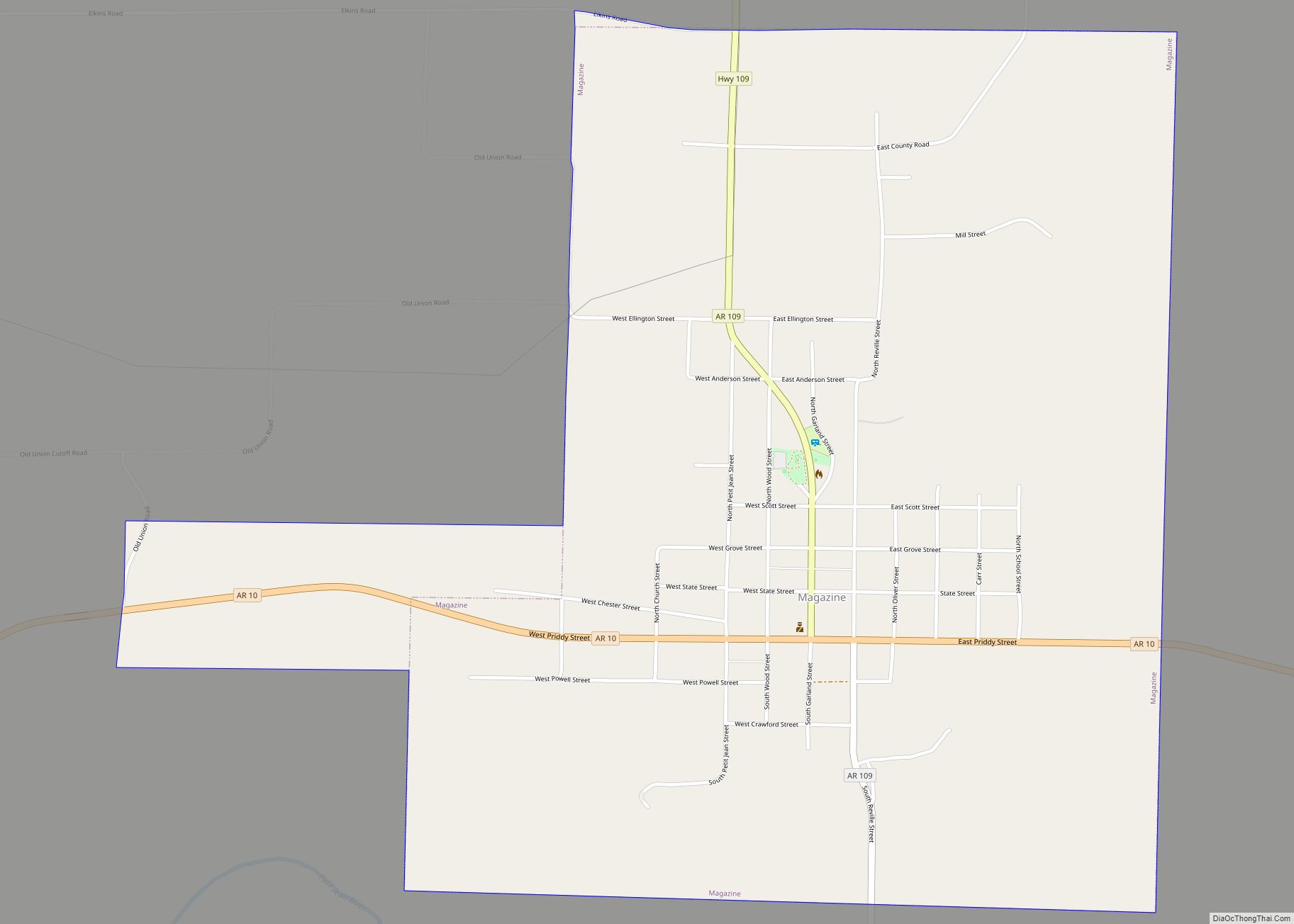
The town sits in a valley bordered to the south by 860-foot-high (260 m) Potts Ridge and to the north by the west end of Mount Magazine, which 4 miles (6 km) farther east rises to the highest point in Arkansas at 2,753 feet (839 m). Arkansas Highway 10 passes through the town, leading west 5 miles (8 km) to Magazine and 12 miles (19 km) to Booneville, the southern Logan county seat, and east 11 miles (18 km) to Havana.
According to the United States Census Bureau, the town of Blue Mountain has an area of 1.1 square miles (2.8 km), all of it recorded as land. The town is drained by Ashley Creek, which flows to the south through Potts Ridge to Blue Mountain Lake, a reservoir on the Petit Jean River, an east-flowing tributary of the Arkansas River.
See also
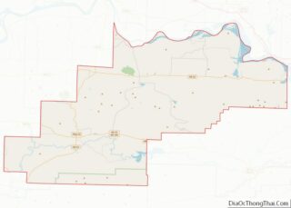
Map of Arkansas State and its subdivision:- Arkansas
- Ashley
- Baxter
- Benton
- Boone
- Bradley
- Calhoun
- Carroll
- Chicot
- Clark
- Clay
- Cleburne
- Cleveland
- Columbia
- Conway
- Craighead
- Crawford
- Crittenden
- Cross
- Dallas
- Desha
- Drew
- Faulkner
- Franklin
- Fulton
- Garland
- Grant
- Greene
- Hempstead
- Hot Spring
- Howard
- Independence
- Izard
- Jackson
- Jefferson
- Johnson
- Lafayette
- Lawrence
- Lee
- Lincoln
- Little River
- Logan
- Lonoke
- Madison
- Marion
- Miller
- Mississippi
- Monroe
- Montgomery
- Nevada
- Newton
- Ouachita
- Perry
- Phillips
- Pike
- Poinsett
- Polk
- Pope
- Prairie
- Pulaski
- Randolph
- Saint Francis
- Saline
- Scott
- Searcy
- Sebastian
- Sevier
- Sharp
- Stone
- Union
- Van Buren
- Washington
- White
- Woodruff
- Yell
- Alabama
- Alaska
- Arizona
- Arkansas
- California
- Colorado
- Connecticut
- Delaware
- District of Columbia
- Florida
- Georgia
- Hawaii
- Idaho
- Illinois
- Indiana
- Iowa
- Kansas
- Kentucky
- Louisiana
- Maine
- Maryland
- Massachusetts
- Michigan
- Minnesota
- Mississippi
- Missouri
- Montana
- Nebraska
- Nevada
- New Hampshire
- New Jersey
- New Mexico
- New York
- North Carolina
- North Dakota
- Ohio
- Oklahoma
- Oregon
- Pennsylvania
- Rhode Island
- South Carolina
- South Dakota
- Tennessee
- Texas
- Utah
- Vermont
- Virginia
- Washington
- West Virginia
- Wisconsin
- Wyoming