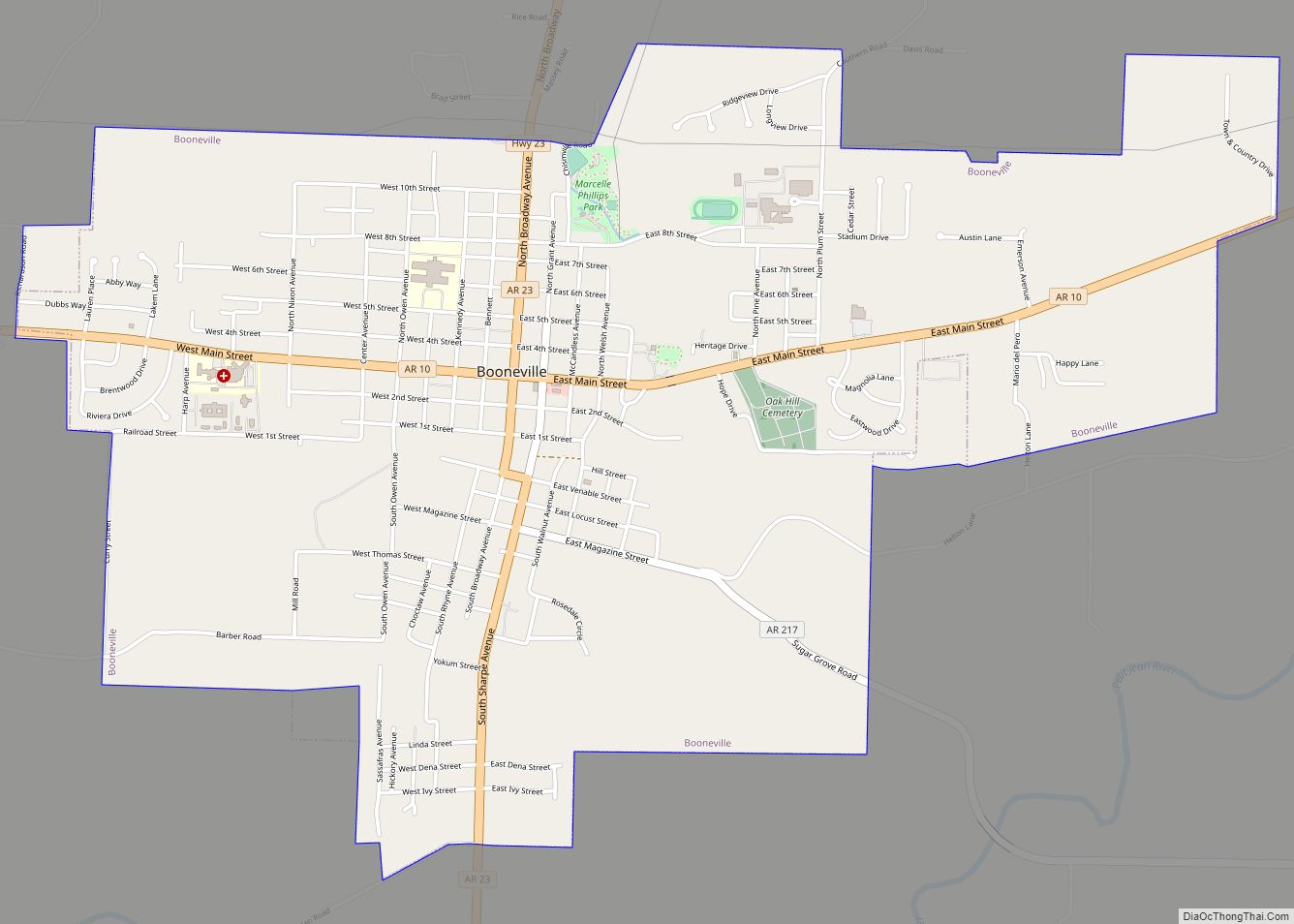
Booneville is a city in Logan County, Arkansas, United States and the county seat of its southern district. Located in the Arkansas River Valley between the Ouachita and Ozark Mountains, the city is one of the oldest in western Arkansas. The city’s economy was first based upon the railroad and Arkansas State Tuberculosis Sanatorium. It has developed a diverse economy of small businesses and light industry. Booneville’s population was 3,990 at the 2010 census.
Booneville supports a community center, a senior-citizens center, a community hospital, a municipal airport, and new school facilities. Hunting, fishing, camping, hiking, and other outdoors activities are readily available in nearby national forests and state parks.
| Name: | Booneville city |
|---|---|
| LSAD Code: | 25 |
| LSAD Description: | city (suffix) |
| State: | Arkansas |
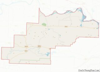
| County: | Logan County |
| Incorporated: | 1878, 1899 |
| Elevation: | 482 ft (147 m) |
| Total Area: | 3.96 sq mi (10.26 km²) |
| Land Area: | 3.94 sq mi (10.21 km²) |
| Water Area: | 0.02 sq mi (0.05 km²) |
| Total Population: | 3,809 |
| Population Density: | 965.77/sq mi (372.92/km²) |
| ZIP code: | 72927 |
| Area code: | 479 |
| FIPS code: | 0507720 |
| GNISfeature ID: | 2403896 |
Online Interactive Map
Click on ![]() to view map in "full screen" mode.
to view map in "full screen" mode.
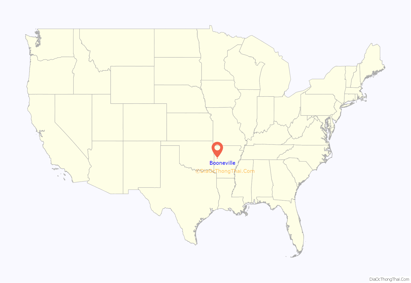
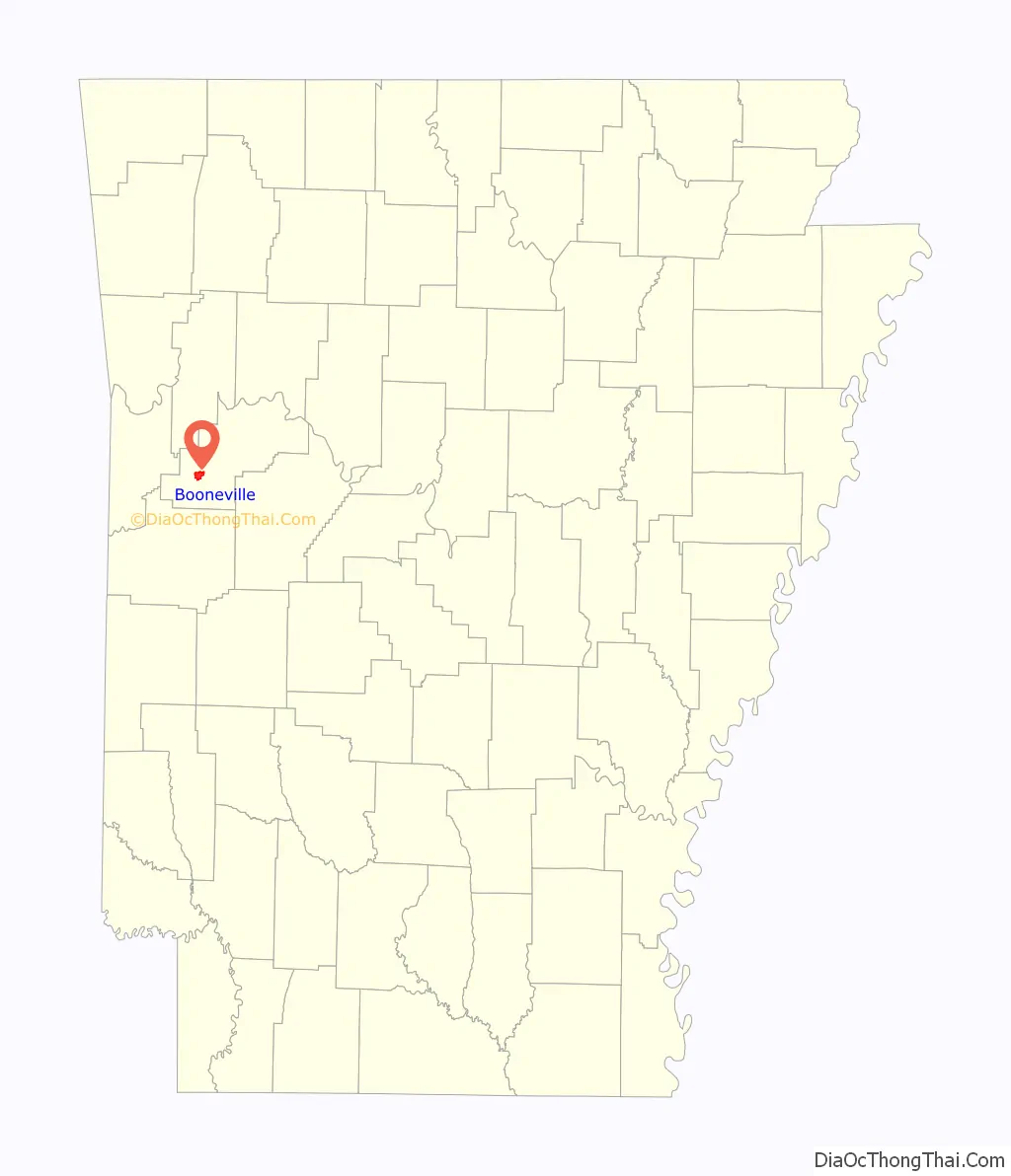
Booneville location map. Where is Booneville city?
History
Naming
The city was founded in 1828 when Walter Cauthron, an early explorer of the Arkansas Territory, built a log cabin and store along the Petit Jean River. By some accounts, he intended to name the community as “Bonneville” for friend Benjamin Bonneville, but the spelling and name were later changed. Another theory is that the name was to honor Daniel Boone, a friend of the Logan family for whom the county is named.
2008 explosion of meat-packing plant
On March 23, 2008, A fire set off multiple explosions at the Cargill Meat Solutions plant in Booneville. According to local authorities the explosions caused an ammonia gas leak that forced 180 people from their homes. There were no reported injuries of the accident. The fire was reportedly started from an accident caused by welders doing repairs on fans in a freezer section. The Cargill Meat plant was the towns largest employer at the time of the explosions.
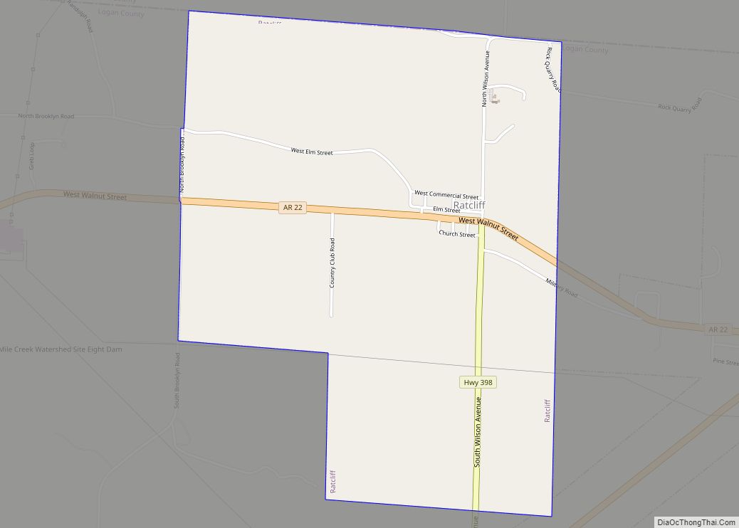
Booneville Road Map

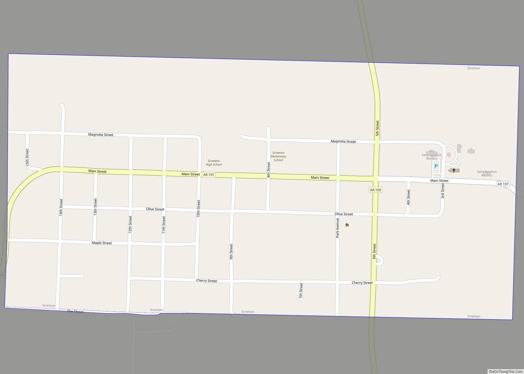
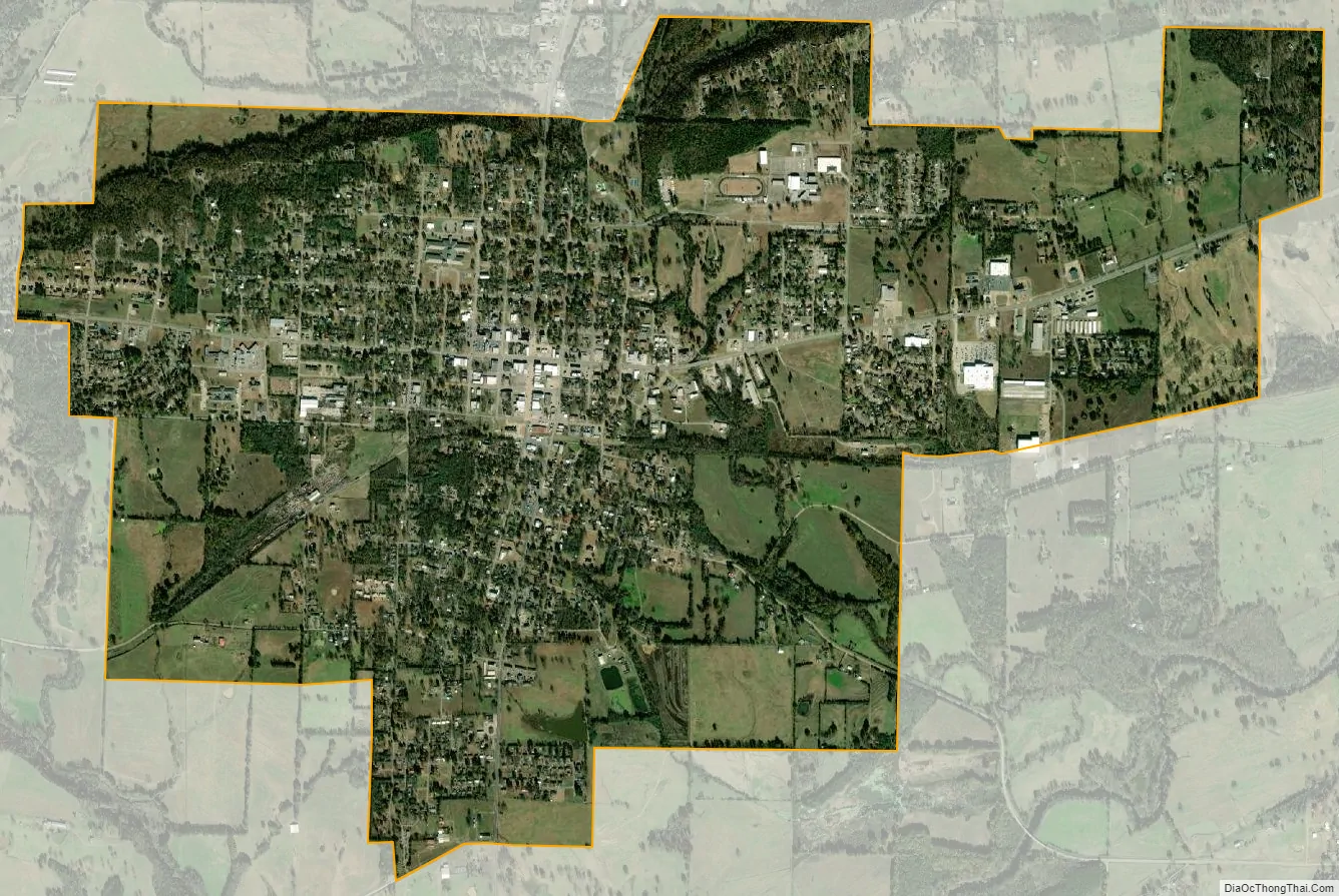
Booneville city Satellite Map
Geography
According to the United States Census Bureau, the city has a total area of 4.1 square miles (11 km), all land.
Booneville is near Blue Mountain Lake, a lake popular for fishing, boating, and swimming. Five United States Army Corps of Engineers recreation areas are available for public lake access. At the east end of the lake, the Blue Mountain Wildlife Demonstration Area is a world-class bird-dog field area. This area also hosts visitors interested in hiking, birding, and mountain bike riding.
Climate
See also
Map of Arkansas State and its subdivision:- Arkansas
- Ashley
- Baxter
- Benton
- Boone
- Bradley
- Calhoun
- Carroll
- Chicot
- Clark
- Clay
- Cleburne
- Cleveland
- Columbia
- Conway
- Craighead
- Crawford
- Crittenden
- Cross
- Dallas
- Desha
- Drew
- Faulkner
- Franklin
- Fulton
- Garland
- Grant
- Greene
- Hempstead
- Hot Spring
- Howard
- Independence
- Izard
- Jackson
- Jefferson
- Johnson
- Lafayette
- Lawrence
- Lee
- Lincoln
- Little River
- Logan
- Lonoke
- Madison
- Marion
- Miller
- Mississippi
- Monroe
- Montgomery
- Nevada
- Newton
- Ouachita
- Perry
- Phillips
- Pike
- Poinsett
- Polk
- Pope
- Prairie
- Pulaski
- Randolph
- Saint Francis
- Saline
- Scott
- Searcy
- Sebastian
- Sevier
- Sharp
- Stone
- Union
- Van Buren
- Washington
- White
- Woodruff
- Yell
- Alabama
- Alaska
- Arizona
- Arkansas
- California
- Colorado
- Connecticut
- Delaware
- District of Columbia
- Florida
- Georgia
- Hawaii
- Idaho
- Illinois
- Indiana
- Iowa
- Kansas
- Kentucky
- Louisiana
- Maine
- Maryland
- Massachusetts
- Michigan
- Minnesota
- Mississippi
- Missouri
- Montana
- Nebraska
- Nevada
- New Hampshire
- New Jersey
- New Mexico
- New York
- North Carolina
- North Dakota
- Ohio
- Oklahoma
- Oregon
- Pennsylvania
- Rhode Island
- South Carolina
- South Dakota
- Tennessee
- Texas
- Utah
- Vermont
- Virginia
- Washington
- West Virginia
- Wisconsin
- Wyoming