Bodcaw is a town in Nevada County, Arkansas, United States. The population was 121 at the 2020 census. It is part of the Hope Micropolitan Statistical Area.
| Name: | Bodcaw town |
|---|---|
| LSAD Code: | 43 |
| LSAD Description: | town (suffix) |
| State: | Arkansas |
| County: | Nevada County |
| Elevation: | 358 ft (109 m) |
| Total Area: | 3.04 sq mi (7.87 km²) |
| Land Area: | 3.00 sq mi (7.78 km²) |
| Water Area: | 0.04 sq mi (0.09 km²) |
| Total Population: | 121 |
| Population Density: | 40.29/sq mi (15.56/km²) |
| FIPS code: | 0507450 |
| GNISfeature ID: | 0076388 |
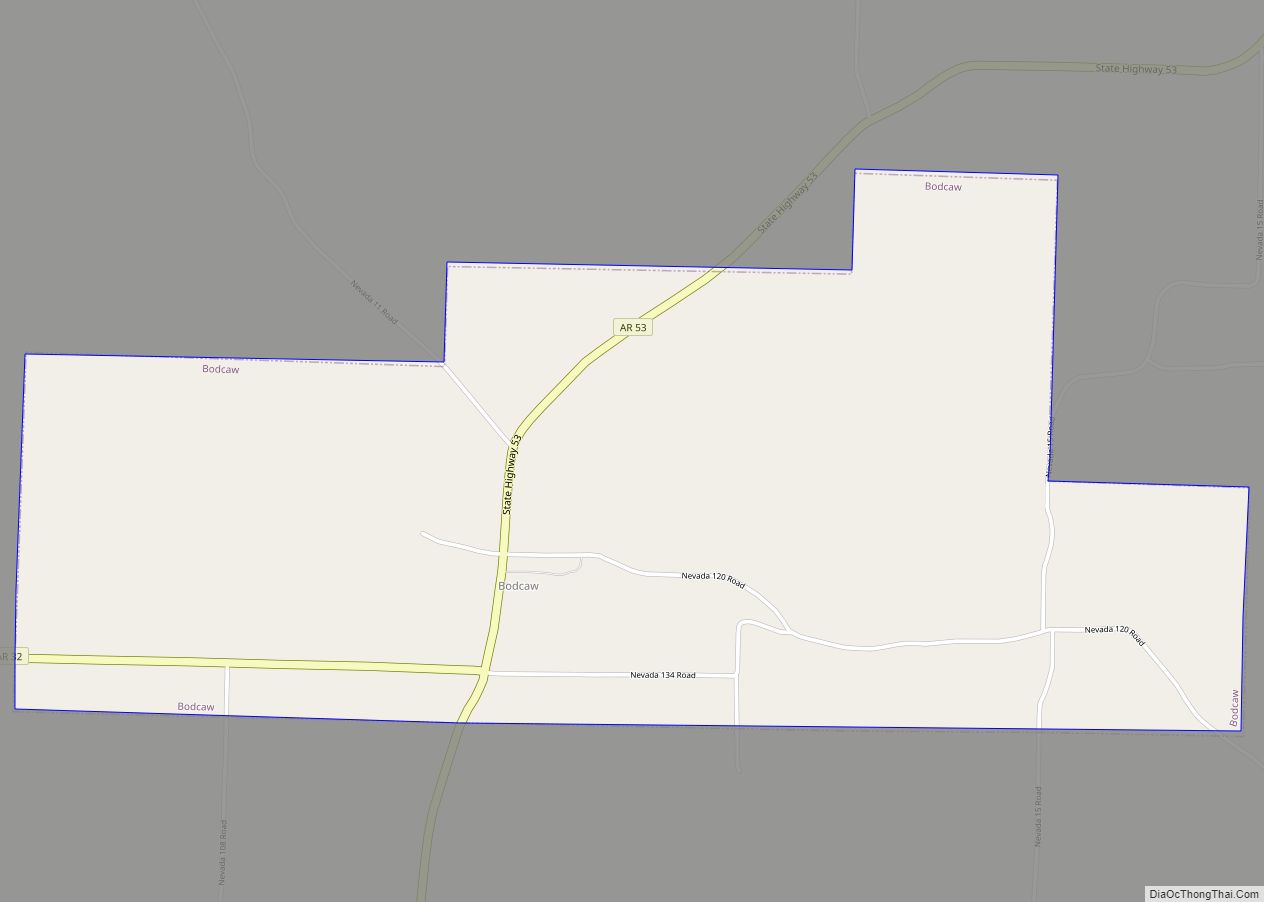
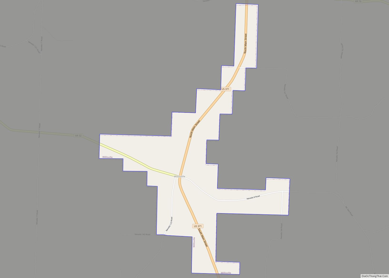
Online Interactive Map
Click on ![]() to view map in "full screen" mode.
to view map in "full screen" mode.
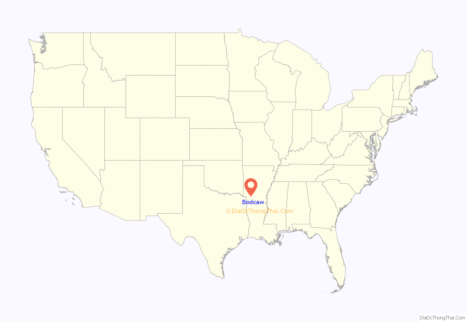
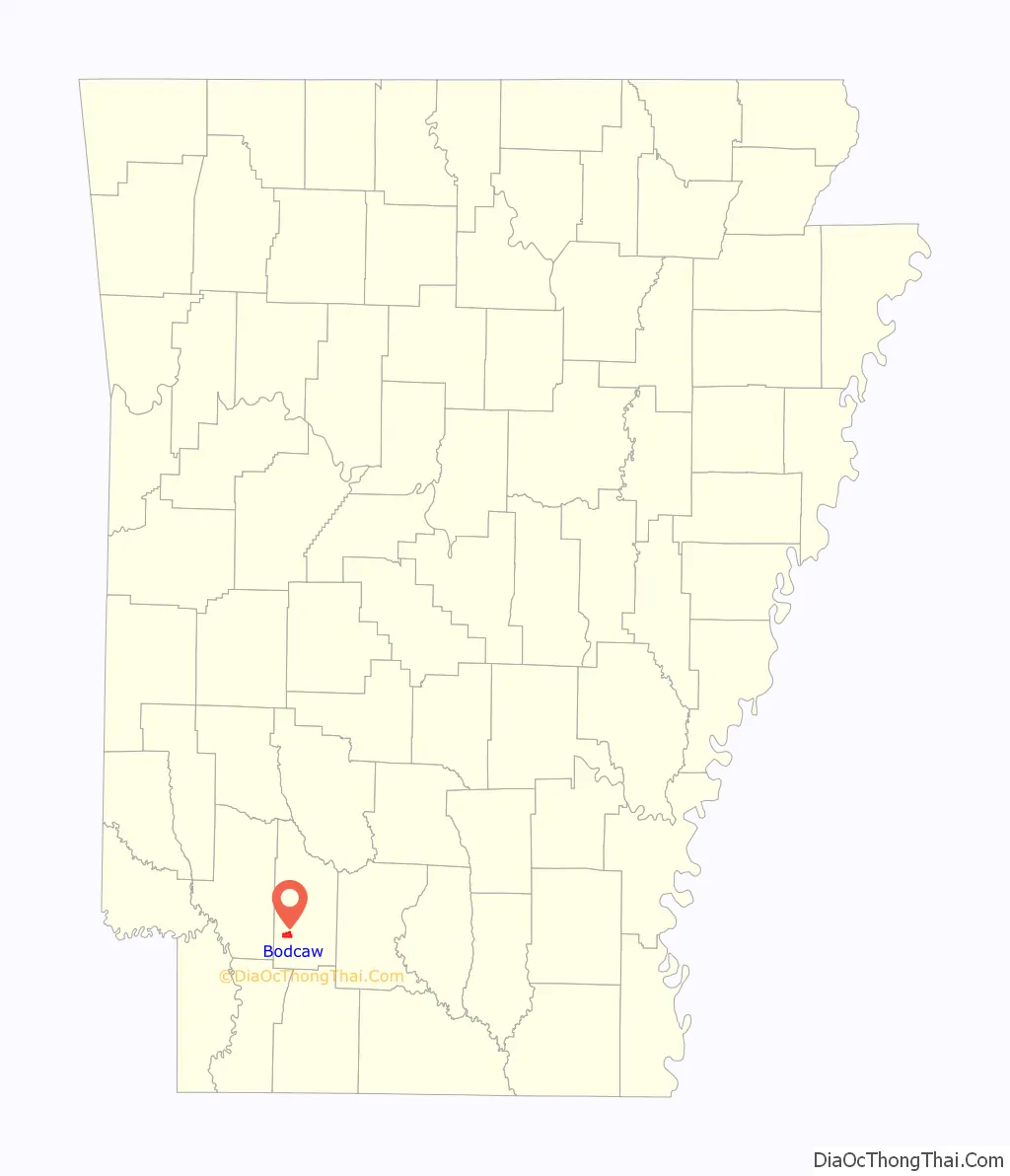
Bodcaw location map. Where is Bodcaw town?
History
Patents on the land that would become Bodcaw began to be claimed in the 1850s, and a post office and stagecoach stop were established in 1878. By 1890, businesses and industries were operating in the area and a Baptist school known as the ‘Bodcaw Academy’ had been established.
The Bodcaw Academy was damaged by a tornado in 1915, and was not rebuilt. Public schools in the area were consolidated at Bodcaw in 1941, but in time, they would be further consolidated into the Nevada School District at Rosston. The post office was closed in 1959, but in 1969, the town was incorporated to provide services to the community.
As was the case with similar small towns, Bodcaw’s population declined as its citizens began to centralize around the state’s growing transportation corridors. By 2016, few retail businesses remained in Bodcaw. Major employers in the area included Nevada School District, along with opportunities in timber, cattle and chicken farming, mining, and oil and gas production.
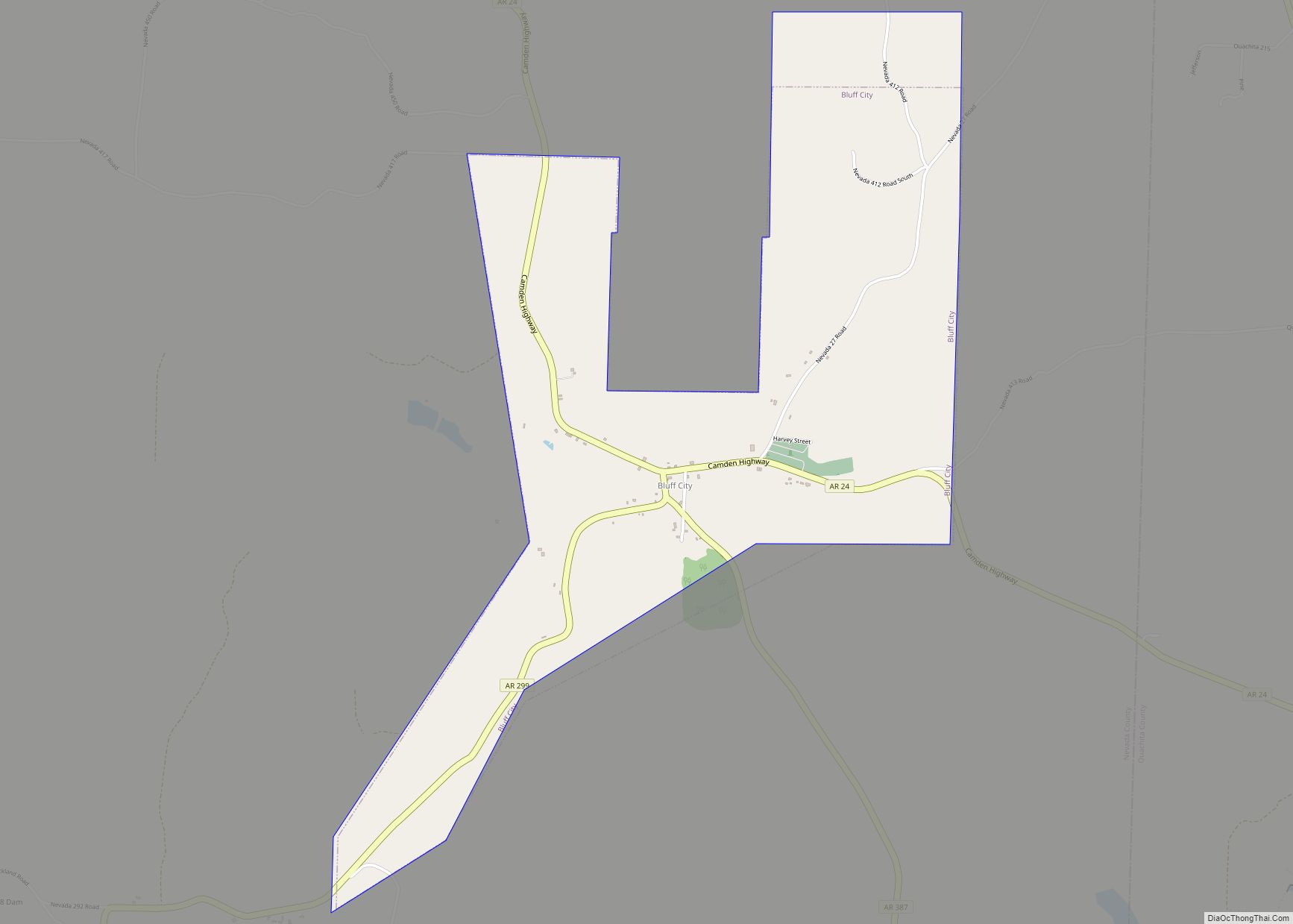
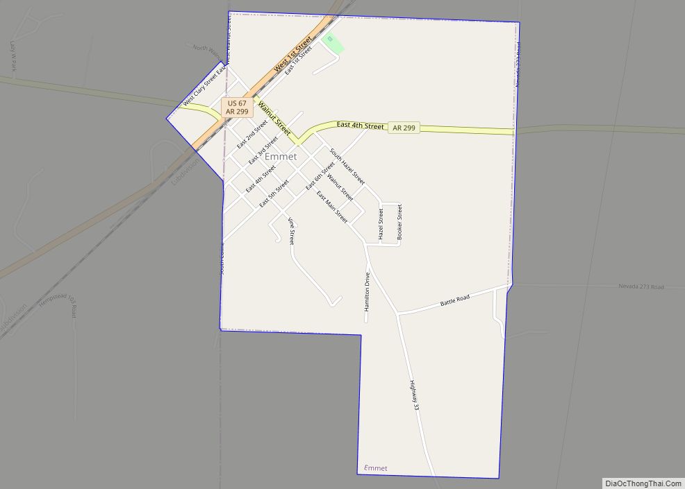
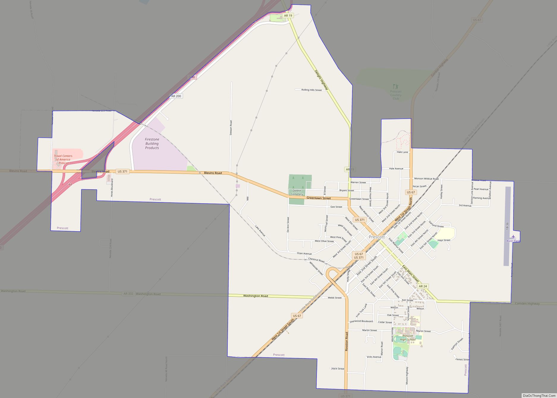
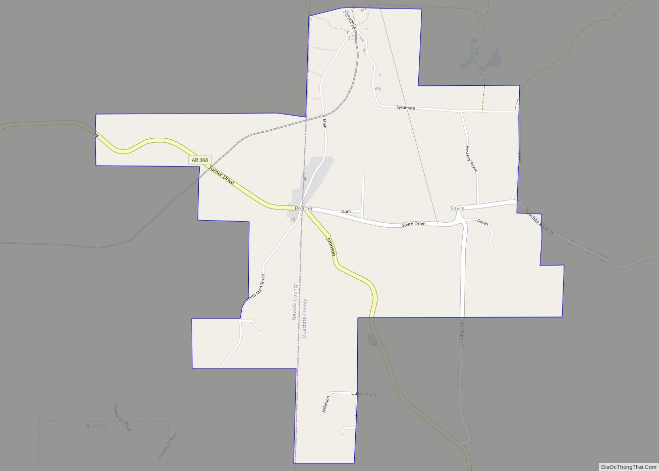
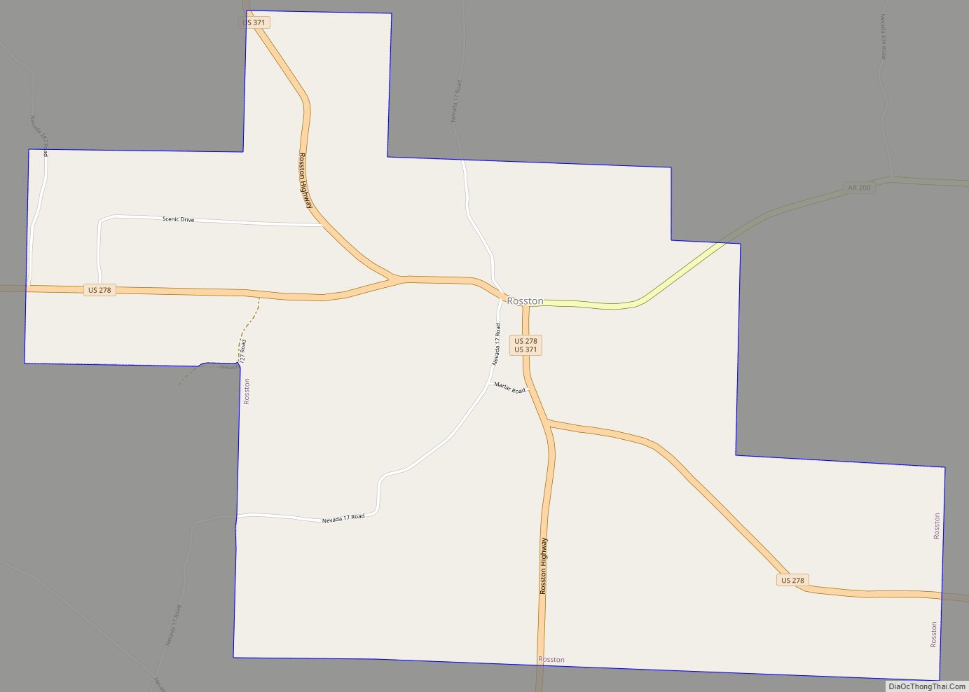
Bodcaw Road Map
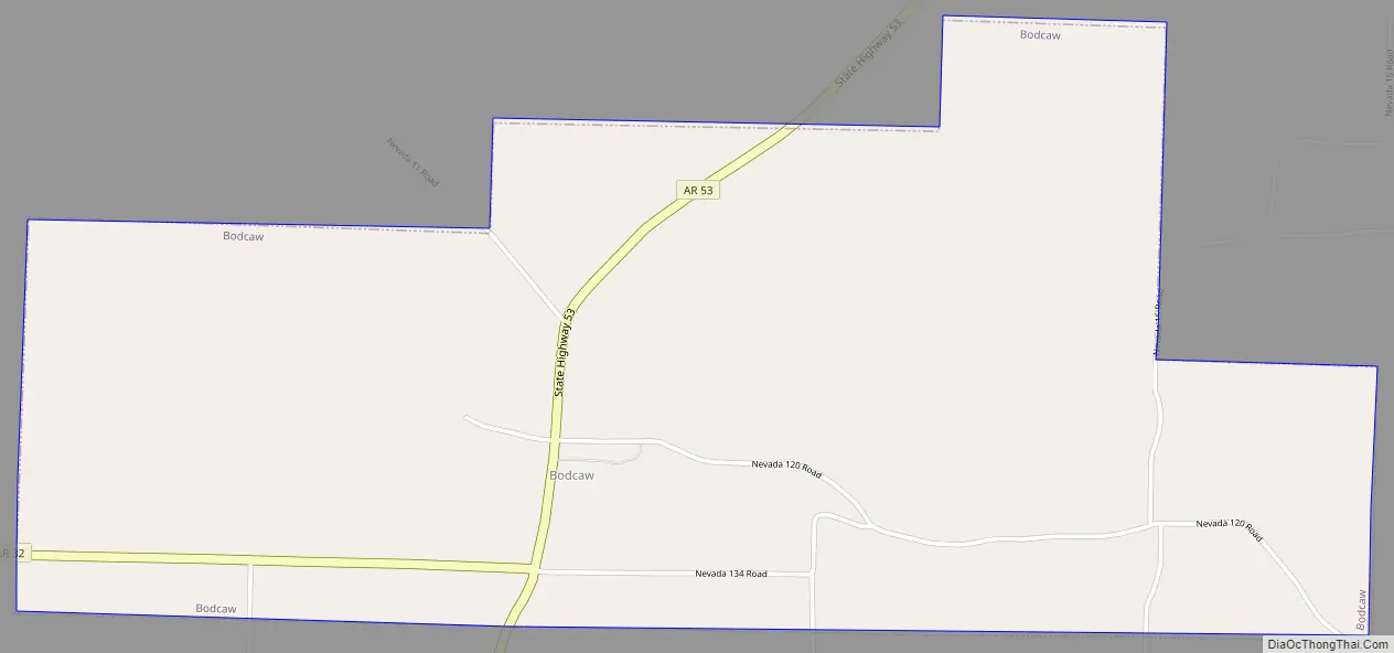
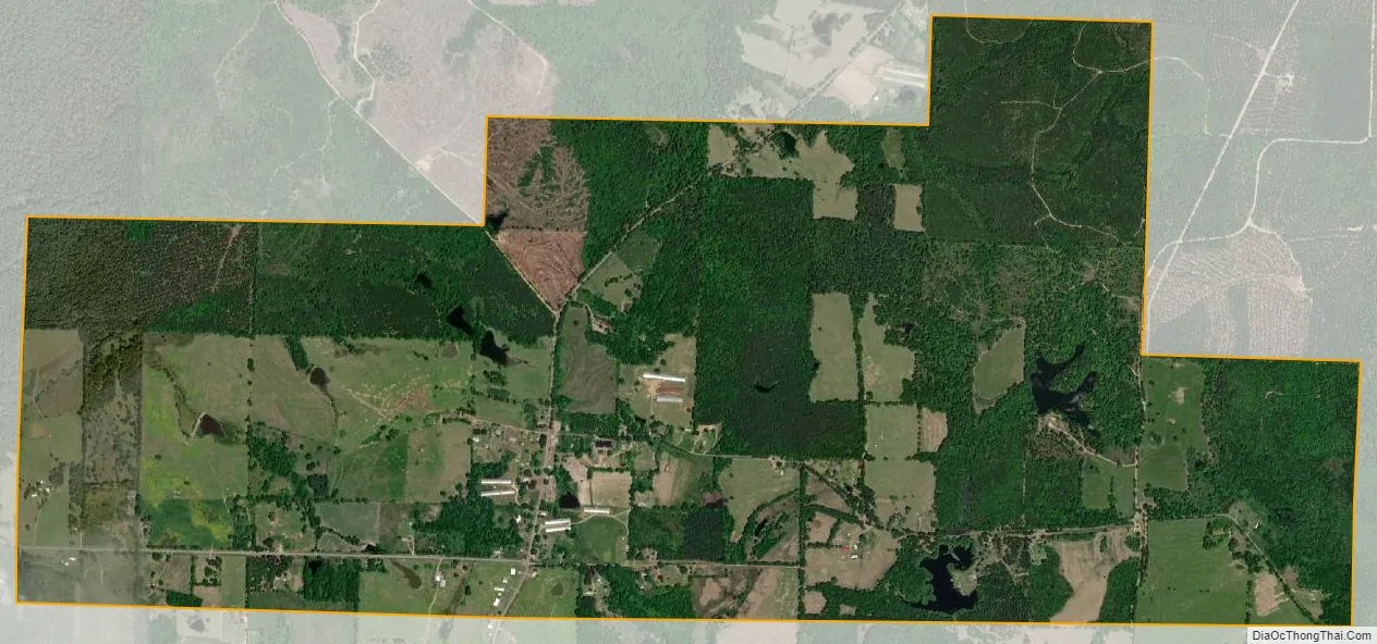
Bodcaw city Satellite Map
Geography
Bodcaw is located at 33°33′23″N 93°24′5″W / 33.55639°N 93.40139°W / 33.55639; -93.40139 (33.556740, -93.401286).
According to the United States Census Bureau, the town has a total area of 7.8 km (3.0 mi), of which 7.7 km (3.0 mi) is land and 0.1 km (0.04 mi) (1.32%) is water.
See also
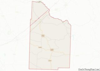
Map of Arkansas State and its subdivision:- Arkansas
- Ashley
- Baxter
- Benton
- Boone
- Bradley
- Calhoun
- Carroll
- Chicot
- Clark
- Clay
- Cleburne
- Cleveland
- Columbia
- Conway
- Craighead
- Crawford
- Crittenden
- Cross
- Dallas
- Desha
- Drew
- Faulkner
- Franklin
- Fulton
- Garland
- Grant
- Greene
- Hempstead
- Hot Spring
- Howard
- Independence
- Izard
- Jackson
- Jefferson
- Johnson
- Lafayette
- Lawrence
- Lee
- Lincoln
- Little River
- Logan
- Lonoke
- Madison
- Marion
- Miller
- Mississippi
- Monroe
- Montgomery
- Nevada
- Newton
- Ouachita
- Perry
- Phillips
- Pike
- Poinsett
- Polk
- Pope
- Prairie
- Pulaski
- Randolph
- Saint Francis
- Saline
- Scott
- Searcy
- Sebastian
- Sevier
- Sharp
- Stone
- Union
- Van Buren
- Washington
- White
- Woodruff
- Yell
- Alabama
- Alaska
- Arizona
- Arkansas
- California
- Colorado
- Connecticut
- Delaware
- District of Columbia
- Florida
- Georgia
- Hawaii
- Idaho
- Illinois
- Indiana
- Iowa
- Kansas
- Kentucky
- Louisiana
- Maine
- Maryland
- Massachusetts
- Michigan
- Minnesota
- Mississippi
- Missouri
- Montana
- Nebraska
- Nevada
- New Hampshire
- New Jersey
- New Mexico
- New York
- North Carolina
- North Dakota
- Ohio
- Oklahoma
- Oregon
- Pennsylvania
- Rhode Island
- South Carolina
- South Dakota
- Tennessee
- Texas
- Utah
- Vermont
- Virginia
- Washington
- West Virginia
- Wisconsin
- Wyoming