Bonanza is a city in Sebastian County, Arkansas, United States. It is part of the Fort Smith, Arkansas–Oklahoma Metropolitan Statistical Area. At the 2010 Census, the population of Bonanza was 575. According to the 2018 US Census Bureau estimates, the population of Bonanza was 564. Bonanza began as a coal mining town of the Central Coal and Coke company.
| Name: | Bonanza city |
|---|---|
| LSAD Code: | 25 |
| LSAD Description: | city (suffix) |
| State: | Arkansas |
| County: | Sebastian County |
| Elevation: | 548 ft (167 m) |
| Total Area: | 2.80 sq mi (7.27 km²) |
| Land Area: | 2.79 sq mi (7.22 km²) |
| Water Area: | 0.02 sq mi (0.05 km²) |
| Total Population: | 587 |
| Population Density: | 210.62/sq mi (81.32/km²) |
| ZIP code: | 72916 |
| Area code: | 479 |
| FIPS code: | 0507540 |
| GNISfeature ID: | 0057406 |
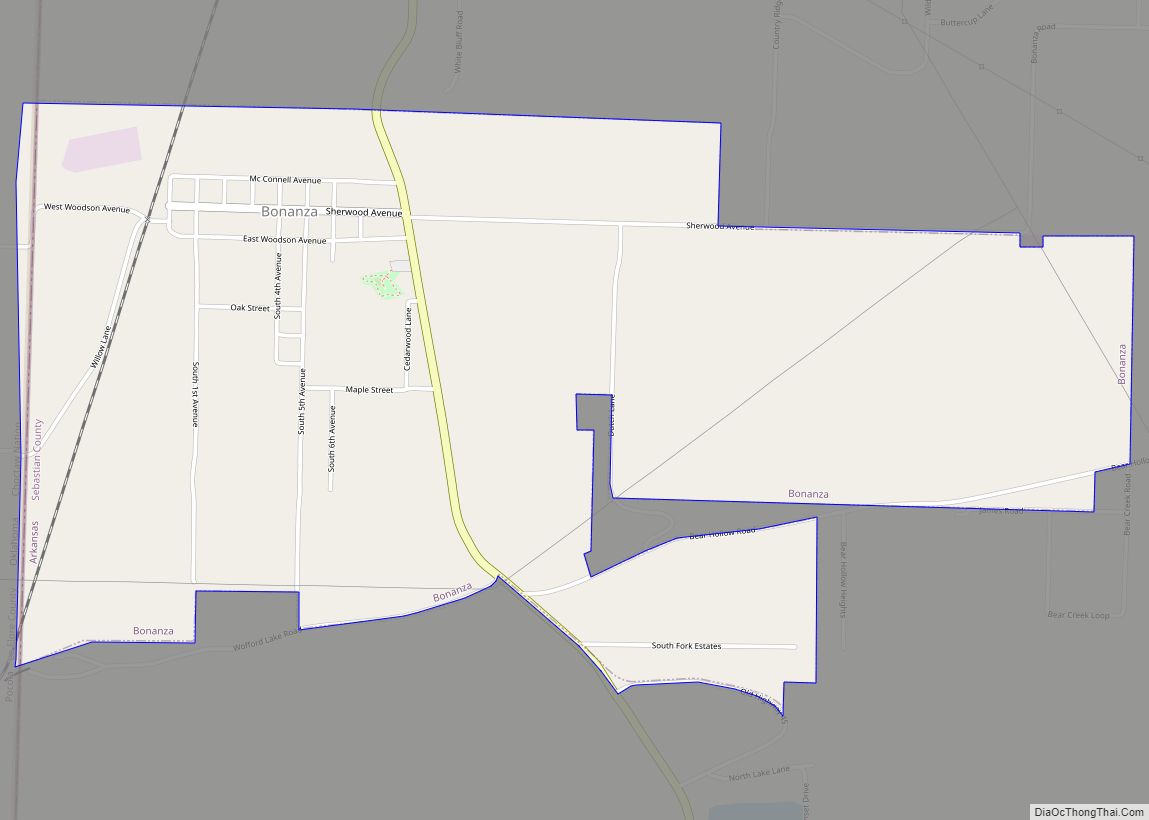
Online Interactive Map
Click on ![]() to view map in "full screen" mode.
to view map in "full screen" mode.
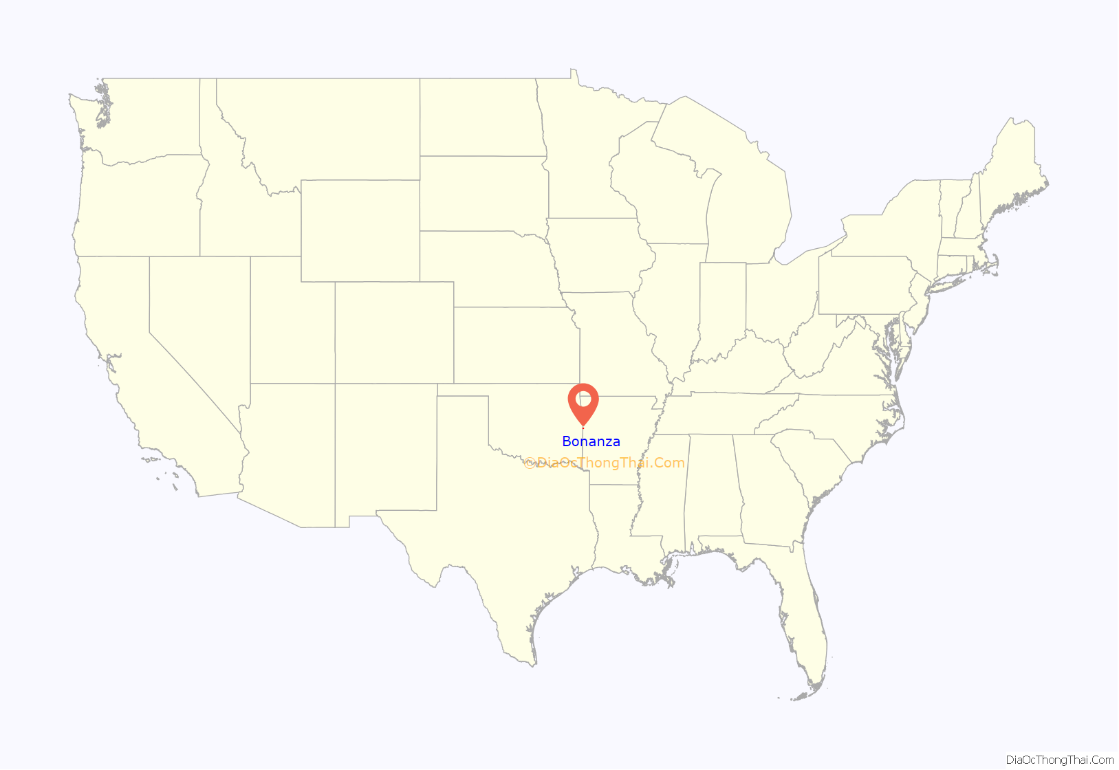
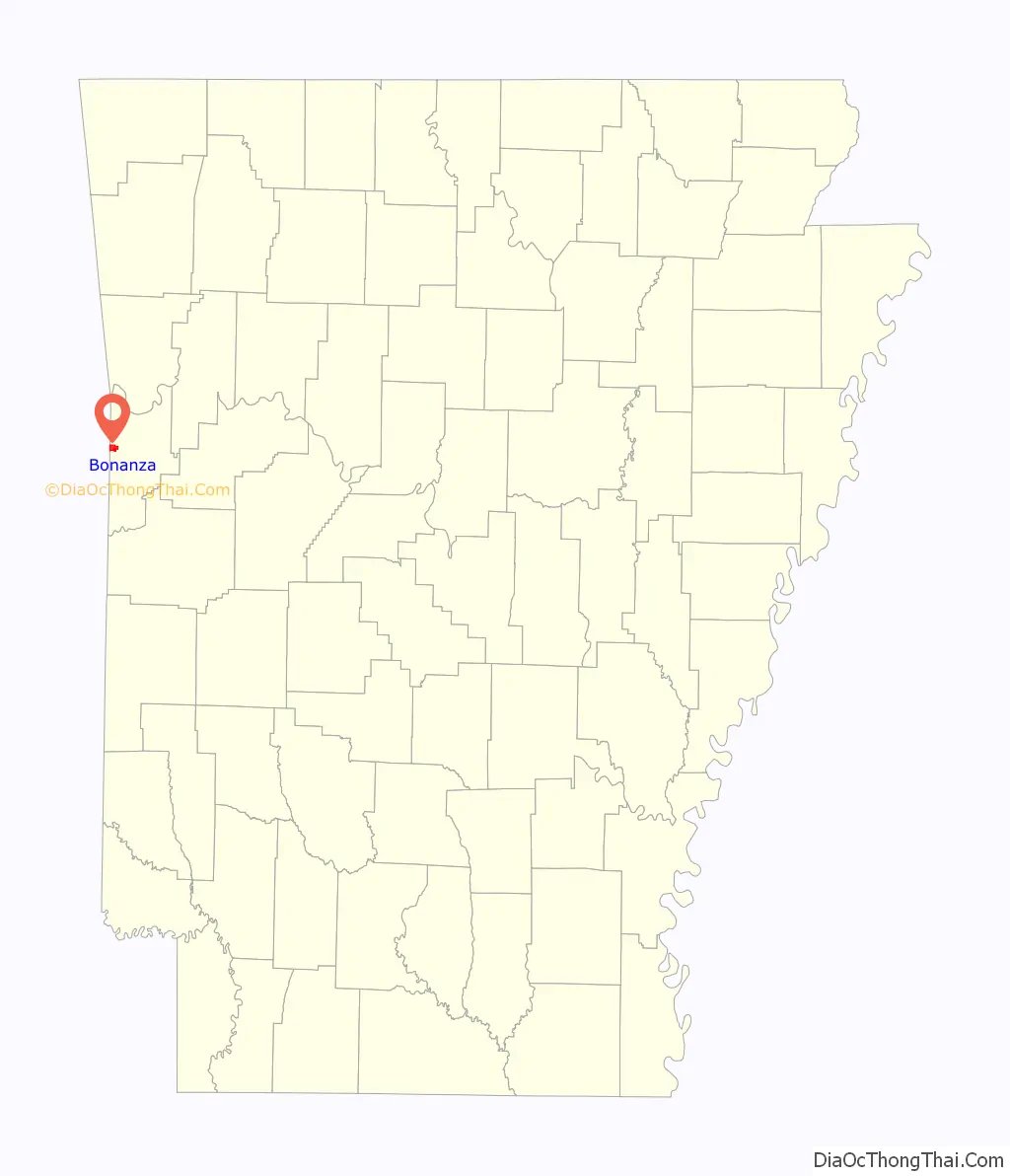
Bonanza location map. Where is Bonanza city?
History
On October 10, 1851, Sebastian County was created from parts of Crawford, Polk, and Scott County Arkansas placing Bonanza within the boundaries. Coal was discovered near the Arkansas-Oklahoma line about 12 miles southeast of Fort Smith. The Central Coal and Coke company laid tracks to the area in 1896 as part of the “St. Louis and San Francisco Railway”. Bonanza sprang up as a company town. Mine #10 did not give good results but Mine #12 soon had 144 workers. Mine #20 employed 185 workers and Mine #26 employed 76 workers. The workers and their families soon reached a sizable number and C.C. Woodson filed a petition to incorporate and on November 26, 1898 the town was chartered.
Bonanza Race War
Around 200 citizens held a meeting with the purpose of removing black workers from the town. A resolution was passed “demanding that about forty negroes employed by Central Coal and Coke Company leave town.”. On April 30, 1904, there was a gun battle between black and white miners. It was reported that around 500 rounds were fired and the Arkansas Gazette reported on May 7, “nearly all black residents had left the city.”.
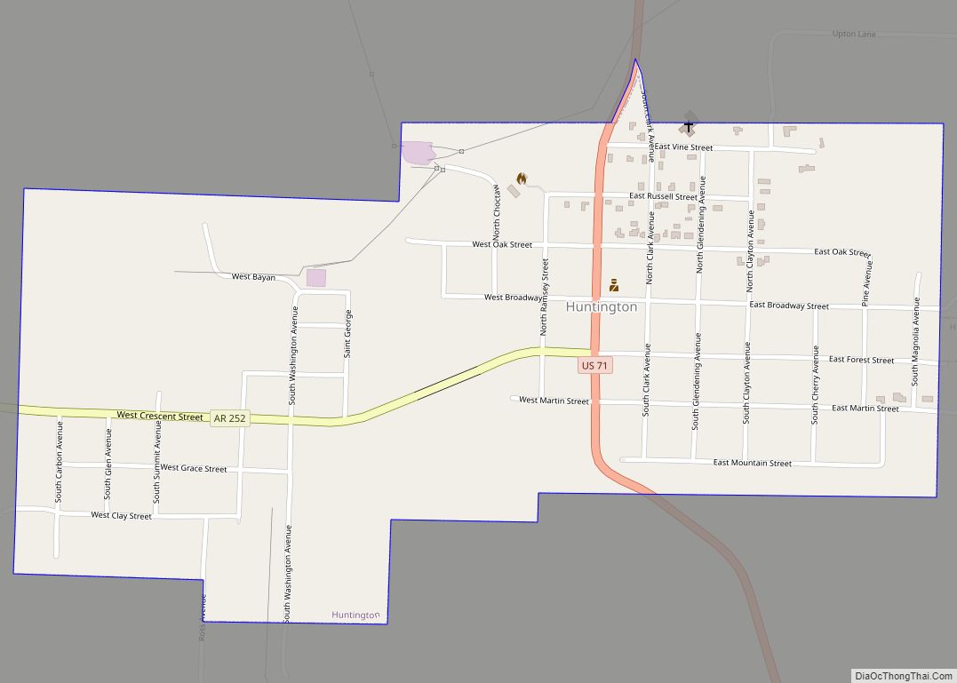
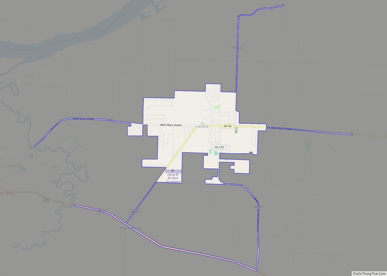
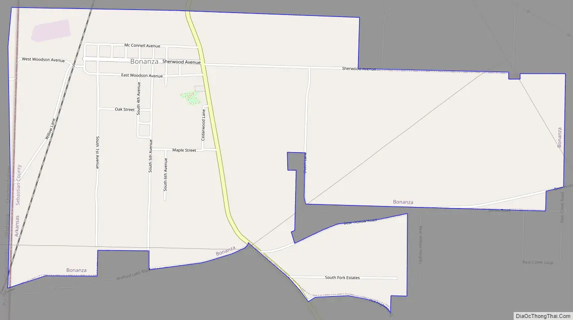
Bonanza Road Map
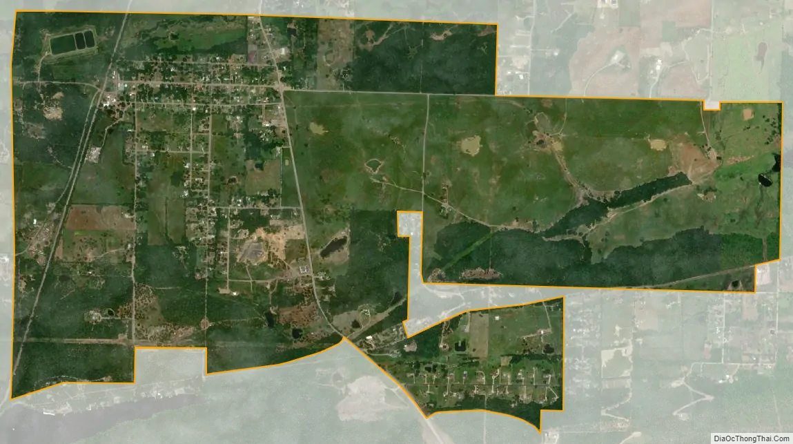
Bonanza city Satellite Map
Geography
Bonanza is located at 35°14′16″N 94°25′44″W / 35.23778°N 94.42889°W / 35.23778; -94.42889 (35.237676, -94.428892).
According to the United States Census Bureau, the town has a total area of 3.2 km (1.2 mi), all land.
See also
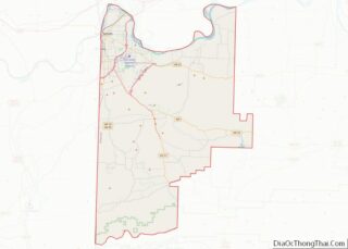
Map of Arkansas State and its subdivision:- Arkansas
- Ashley
- Baxter
- Benton
- Boone
- Bradley
- Calhoun
- Carroll
- Chicot
- Clark
- Clay
- Cleburne
- Cleveland
- Columbia
- Conway
- Craighead
- Crawford
- Crittenden
- Cross
- Dallas
- Desha
- Drew
- Faulkner
- Franklin
- Fulton
- Garland
- Grant
- Greene
- Hempstead
- Hot Spring
- Howard
- Independence
- Izard
- Jackson
- Jefferson
- Johnson
- Lafayette
- Lawrence
- Lee
- Lincoln
- Little River
- Logan
- Lonoke
- Madison
- Marion
- Miller
- Mississippi
- Monroe
- Montgomery
- Nevada
- Newton
- Ouachita
- Perry
- Phillips
- Pike
- Poinsett
- Polk
- Pope
- Prairie
- Pulaski
- Randolph
- Saint Francis
- Saline
- Scott
- Searcy
- Sebastian
- Sevier
- Sharp
- Stone
- Union
- Van Buren
- Washington
- White
- Woodruff
- Yell
- Alabama
- Alaska
- Arizona
- Arkansas
- California
- Colorado
- Connecticut
- Delaware
- District of Columbia
- Florida
- Georgia
- Hawaii
- Idaho
- Illinois
- Indiana
- Iowa
- Kansas
- Kentucky
- Louisiana
- Maine
- Maryland
- Massachusetts
- Michigan
- Minnesota
- Mississippi
- Missouri
- Montana
- Nebraska
- Nevada
- New Hampshire
- New Jersey
- New Mexico
- New York
- North Carolina
- North Dakota
- Ohio
- Oklahoma
- Oregon
- Pennsylvania
- Rhode Island
- South Carolina
- South Dakota
- Tennessee
- Texas
- Utah
- Vermont
- Virginia
- Washington
- West Virginia
- Wisconsin
- Wyoming