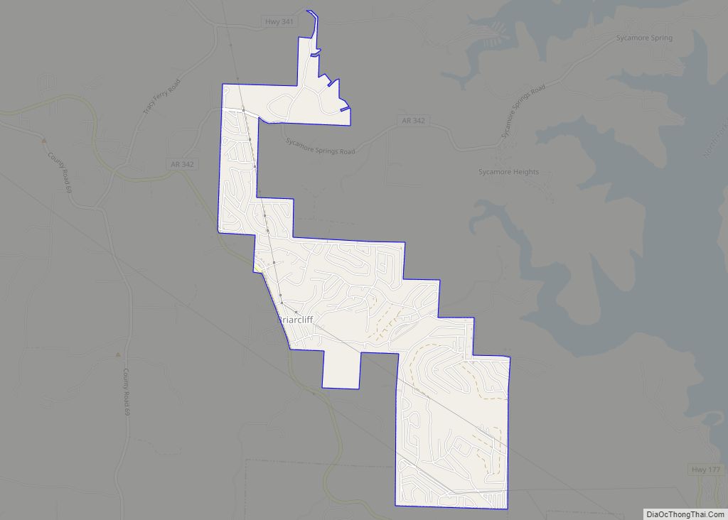
Briarcliff is a second-class city in Baxter County, Arkansas, United States. The population was 236 at the 2010 census.
| Name: | Briarcliff city |
|---|---|
| LSAD Code: | 25 |
| LSAD Description: | city (suffix) |
| State: | Arkansas |
| County: | Baxter County |
| Elevation: | 709 ft (216 m) |
| Total Area: | 2.25 sq mi (5.83 km²) |
| Land Area: | 2.25 sq mi (5.83 km²) |
| Water Area: | 0.00 sq mi (0.00 km²) |
| Total Population: | 236 |
| Population Density: | 104.84/sq mi (40.47/km²) |
| FIPS code: | 0508665 |
| GNISfeature ID: | 2403922 |
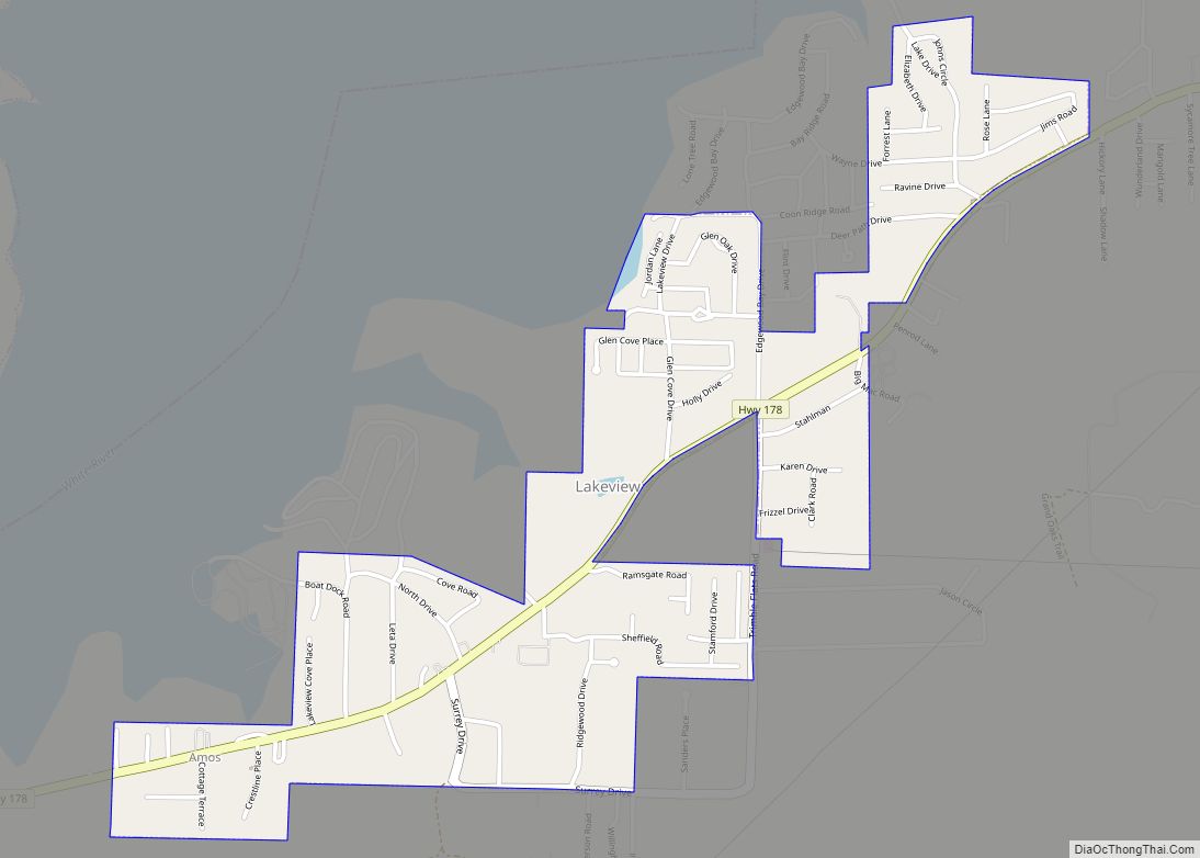
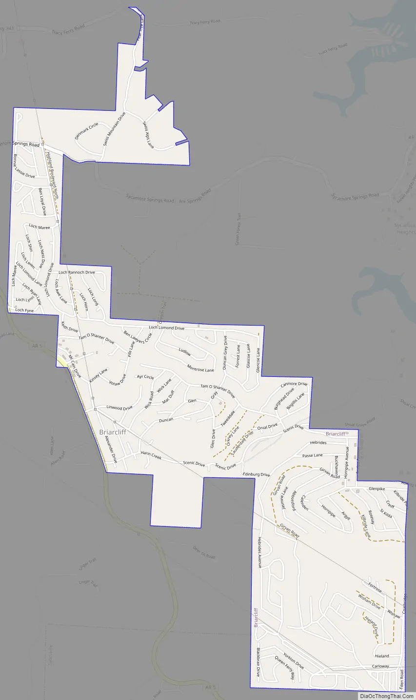
Online Interactive Map
Click on ![]() to view map in "full screen" mode.
to view map in "full screen" mode.
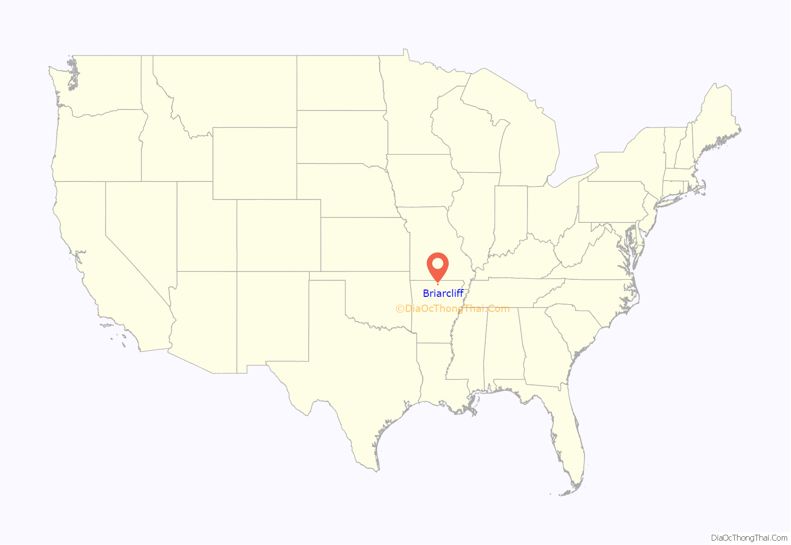
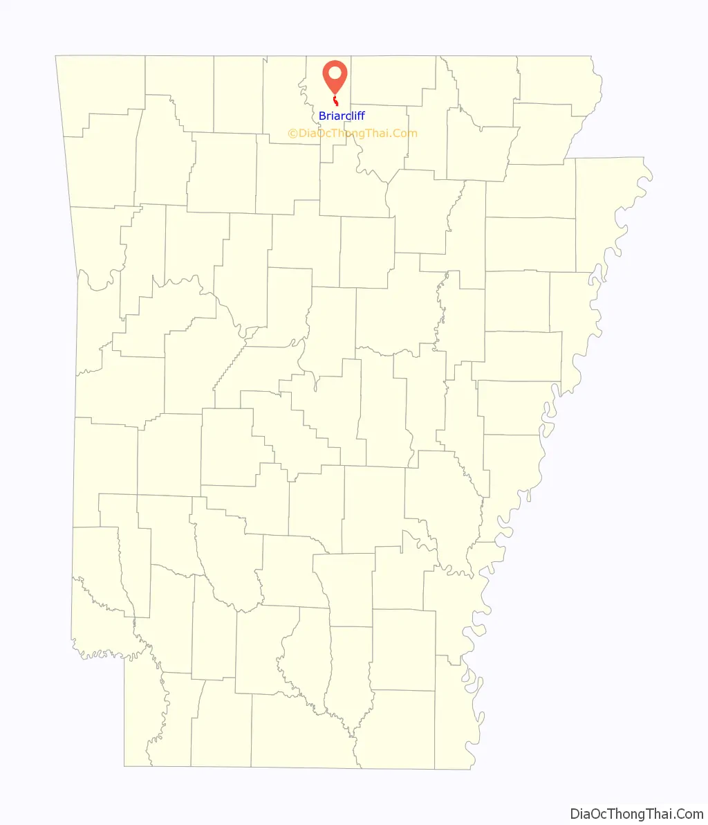
Briarcliff location map. Where is Briarcliff city?
History
The community began as a small retirement community near Lake Norfork following completion of the Norfork Dam. Initially an unincorporated area, residents voted to incorporate as a town in 1997. In 2000, town residents approved upgrading Briarcliff’s status to a second-class city in order to establish a municipal government.
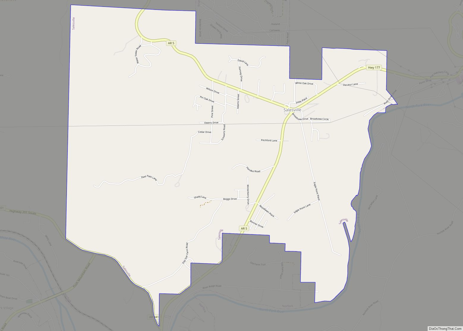
Briarcliff Road Map
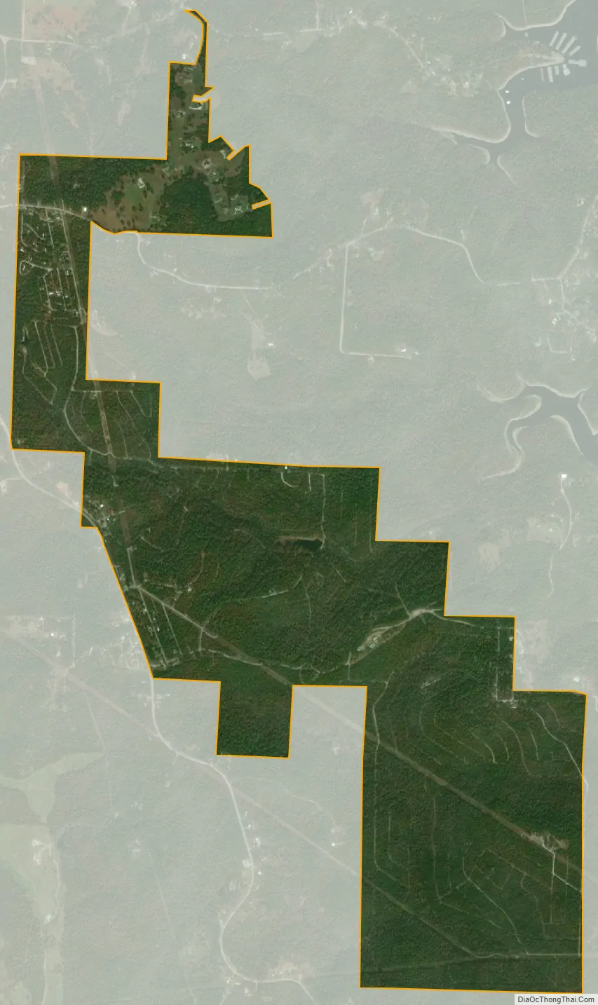
Briarcliff city Satellite Map
Geography
According to the United States Census Bureau, the town has a total area of 4.7 km (1.8 mi), all land.
List Of highways
- Arkansas Highway 5
- Arkansas Highway 342
See also
Map of Arkansas State and its subdivision:- Arkansas
- Ashley
- Baxter
- Benton
- Boone
- Bradley
- Calhoun
- Carroll
- Chicot
- Clark
- Clay
- Cleburne
- Cleveland
- Columbia
- Conway
- Craighead
- Crawford
- Crittenden
- Cross
- Dallas
- Desha
- Drew
- Faulkner
- Franklin
- Fulton
- Garland
- Grant
- Greene
- Hempstead
- Hot Spring
- Howard
- Independence
- Izard
- Jackson
- Jefferson
- Johnson
- Lafayette
- Lawrence
- Lee
- Lincoln
- Little River
- Logan
- Lonoke
- Madison
- Marion
- Miller
- Mississippi
- Monroe
- Montgomery
- Nevada
- Newton
- Ouachita
- Perry
- Phillips
- Pike
- Poinsett
- Polk
- Pope
- Prairie
- Pulaski
- Randolph
- Saint Francis
- Saline
- Scott
- Searcy
- Sebastian
- Sevier
- Sharp
- Stone
- Union
- Van Buren
- Washington
- White
- Woodruff
- Yell
- Alabama
- Alaska
- Arizona
- Arkansas
- California
- Colorado
- Connecticut
- Delaware
- District of Columbia
- Florida
- Georgia
- Hawaii
- Idaho
- Illinois
- Indiana
- Iowa
- Kansas
- Kentucky
- Louisiana
- Maine
- Maryland
- Massachusetts
- Michigan
- Minnesota
- Mississippi
- Missouri
- Montana
- Nebraska
- Nevada
- New Hampshire
- New Jersey
- New Mexico
- New York
- North Carolina
- North Dakota
- Ohio
- Oklahoma
- Oregon
- Pennsylvania
- Rhode Island
- South Carolina
- South Dakota
- Tennessee
- Texas
- Utah
- Vermont
- Virginia
- Washington
- West Virginia
- Wisconsin
- Wyoming