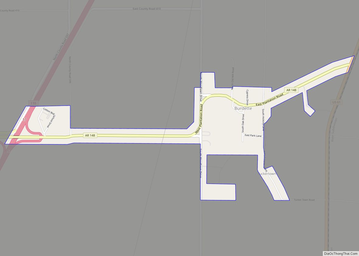
Burdette is a town in Mississippi County, Arkansas, United States. The population was 140 at the 2020 census, down from 191 in 2010.
| Name: | Burdette town |
|---|---|
| LSAD Code: | 43 |
| LSAD Description: | town (suffix) |
| State: | Arkansas |
| County: | Mississippi County |
| Elevation: | 240 ft (70 m) |
| Total Area: | 0.74 sq mi (1.91 km²) |
| Land Area: | 0.74 sq mi (1.91 km²) |
| Water Area: | 0.00 sq mi (0.00 km²) |
| Total Population: | 140 |
| Population Density: | 189.96/sq mi (73.31/km²) |
| ZIP code: | 72321 |
| Area code: | 870 |
| FIPS code: | 0509880 |
| GNISfeature ID: | 2405344 |
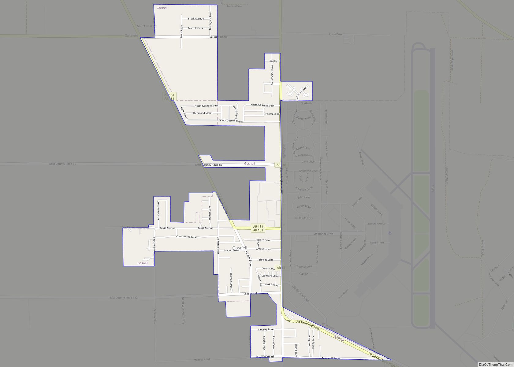
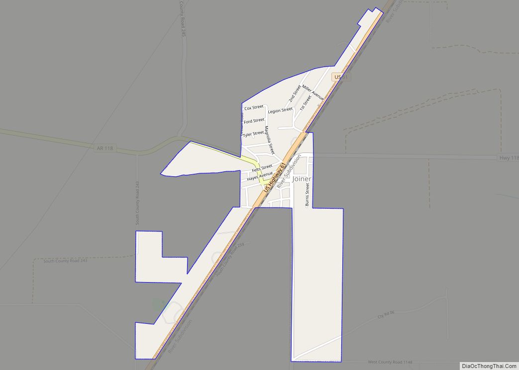
Online Interactive Map
Click on ![]() to view map in "full screen" mode.
to view map in "full screen" mode.
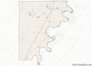
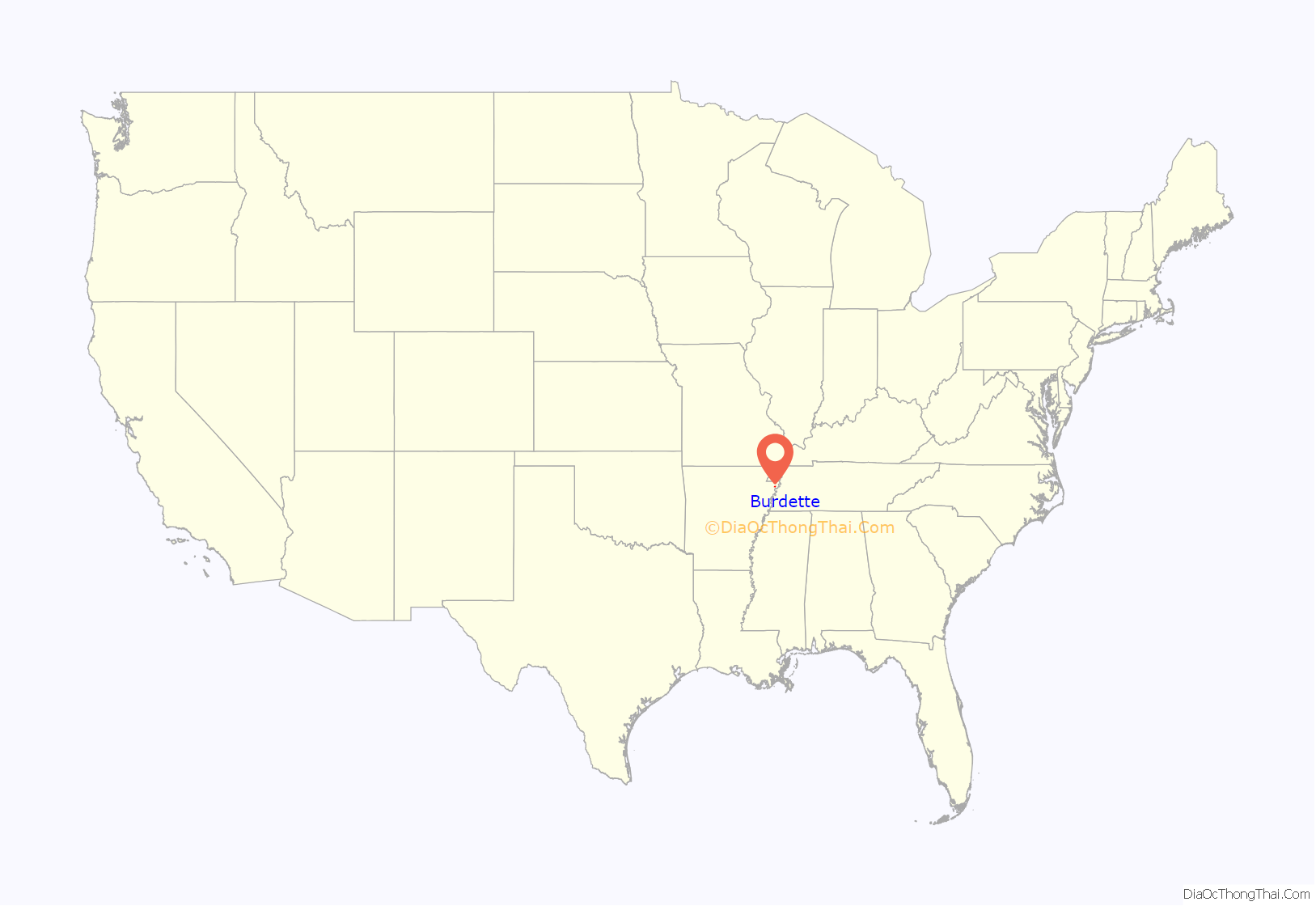
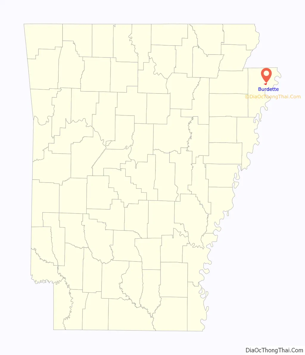
Burdette location map. Where is Burdette town?
History
Burdette has its origins as a company town established by the Three States Lumber Company in the early 1900s. Incorporated in 1905, the town was named for Alfred Burdette Wolverton, an early logger in the area. Three States completed a large sawmill in Burdette in 1906, and the Blytheville, Burdette, and Mississippi River Railroad connected the mill via rail to Wolverton Landing along the Mississippi River that same year.
A large agricultural operation, the Burdette Plantation, developed alongside the lumber operations. Beginning in the 1920s, these farms were utilized by the University of Arkansas for agricultural research focused on the improvement of cotton and corn yields. Several new cotton varieties, such as “Burdette Express” and “Burdette Lone Star”, were developed in the Burdette area.
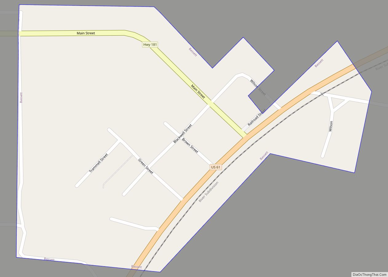
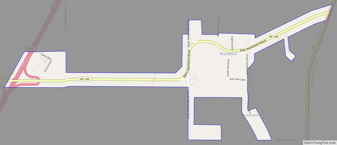
Burdette Road Map
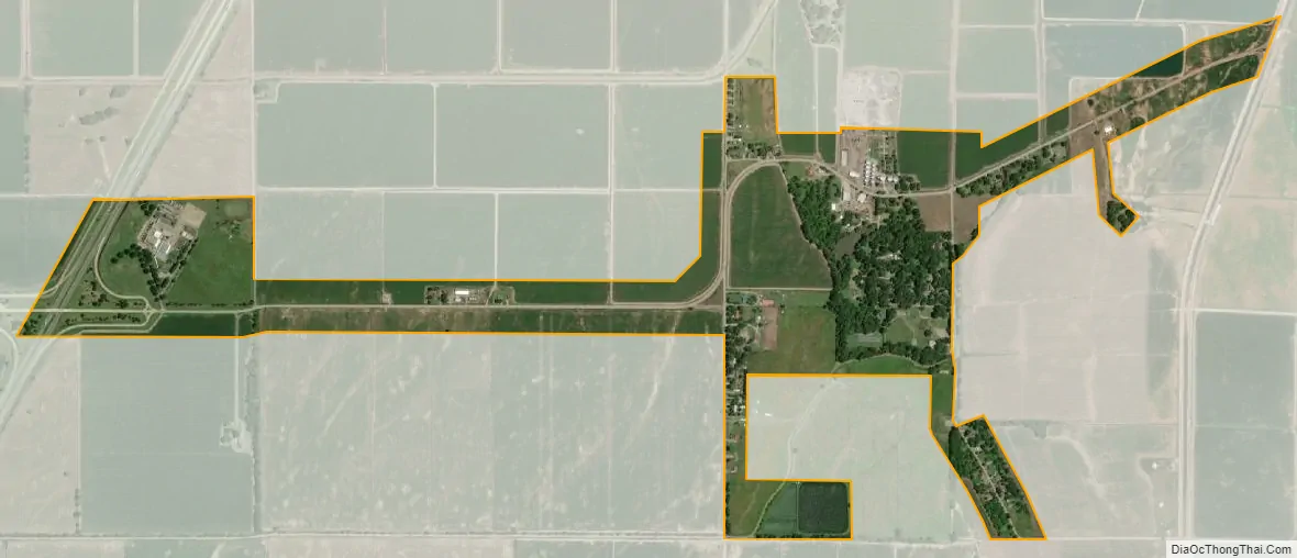
Burdette city Satellite Map
Geography
Burdette is located in northeastern Mississippi County at 35°49′8″N 89°56′35″W / 35.81889°N 89.94306°W / 35.81889; -89.94306 (35.856818, -90.040113). The town is concentrated along Arkansas Highway 148, 5 miles (8 km) north of Luxora and 9 miles (14 km) south of Blytheville, and about 5 miles (8 km) northwest of the Mississippi River. The town’s municipal boundaries stretch westward along AR 148 to Interstate 55 and eastward to U.S. Route 61.
According to the United States Census Bureau, Burdette has a total area of 0.74 square miles (1.92 km), all land.
See also
Map of Arkansas State and its subdivision:- Arkansas
- Ashley
- Baxter
- Benton
- Boone
- Bradley
- Calhoun
- Carroll
- Chicot
- Clark
- Clay
- Cleburne
- Cleveland
- Columbia
- Conway
- Craighead
- Crawford
- Crittenden
- Cross
- Dallas
- Desha
- Drew
- Faulkner
- Franklin
- Fulton
- Garland
- Grant
- Greene
- Hempstead
- Hot Spring
- Howard
- Independence
- Izard
- Jackson
- Jefferson
- Johnson
- Lafayette
- Lawrence
- Lee
- Lincoln
- Little River
- Logan
- Lonoke
- Madison
- Marion
- Miller
- Mississippi
- Monroe
- Montgomery
- Nevada
- Newton
- Ouachita
- Perry
- Phillips
- Pike
- Poinsett
- Polk
- Pope
- Prairie
- Pulaski
- Randolph
- Saint Francis
- Saline
- Scott
- Searcy
- Sebastian
- Sevier
- Sharp
- Stone
- Union
- Van Buren
- Washington
- White
- Woodruff
- Yell
- Alabama
- Alaska
- Arizona
- Arkansas
- California
- Colorado
- Connecticut
- Delaware
- District of Columbia
- Florida
- Georgia
- Hawaii
- Idaho
- Illinois
- Indiana
- Iowa
- Kansas
- Kentucky
- Louisiana
- Maine
- Maryland
- Massachusetts
- Michigan
- Minnesota
- Mississippi
- Missouri
- Montana
- Nebraska
- Nevada
- New Hampshire
- New Jersey
- New Mexico
- New York
- North Carolina
- North Dakota
- Ohio
- Oklahoma
- Oregon
- Pennsylvania
- Rhode Island
- South Carolina
- South Dakota
- Tennessee
- Texas
- Utah
- Vermont
- Virginia
- Washington
- West Virginia
- Wisconsin
- Wyoming