Crawfordsville, historically Crawfordville, is a town in Crittenden County, Arkansas, United States. The population was 479 at the 2010 census.
| Name: | Crawfordsville town |
|---|---|
| LSAD Code: | 43 |
| LSAD Description: | town (suffix) |
| State: | Arkansas |
| County: | Crittenden County |
| Elevation: | 220 ft (67 m) |
| Total Area: | 0.56 sq mi (1.45 km²) |
| Land Area: | 0.56 sq mi (1.45 km²) |
| Water Area: | 0.00 sq mi (0.00 km²) |
| Total Population: | 462 |
| Population Density: | 826.48/sq mi (319.16/km²) |
| ZIP code: | 72327 |
| Area code: | 870 |
| FIPS code: | 0515940 |
| GNISfeature ID: | 0057604 |
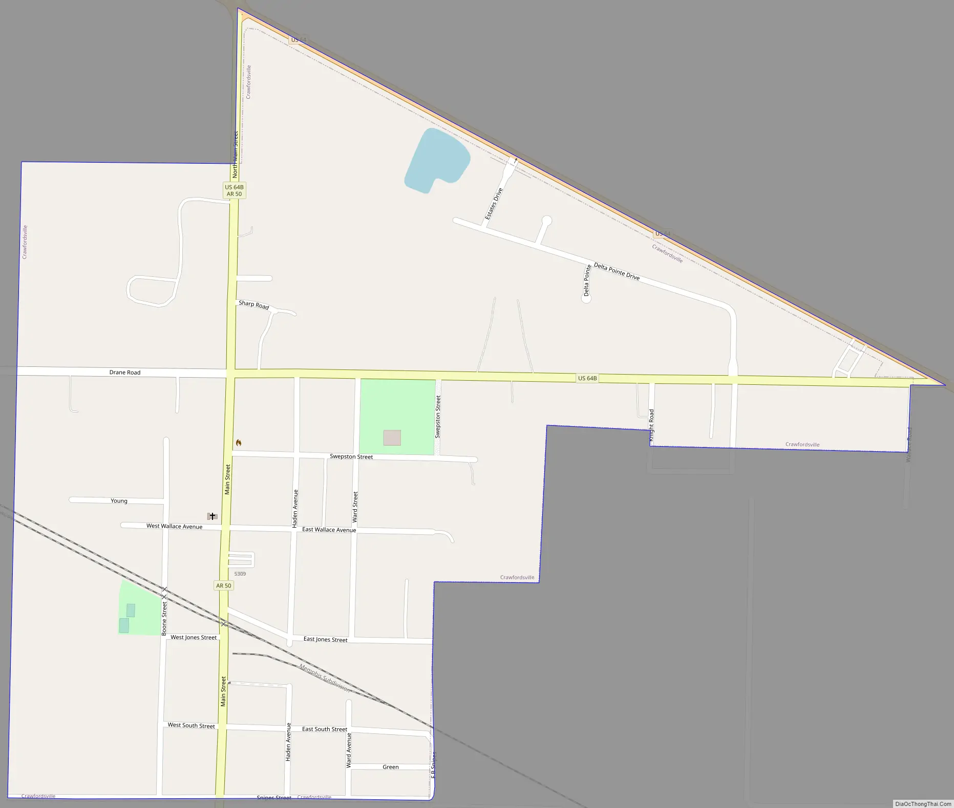
Online Interactive Map
Click on ![]() to view map in "full screen" mode.
to view map in "full screen" mode.
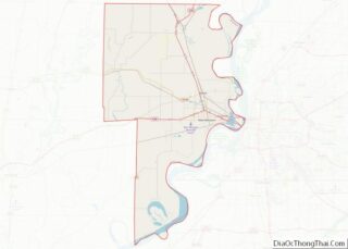
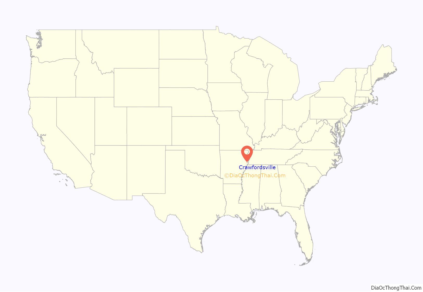
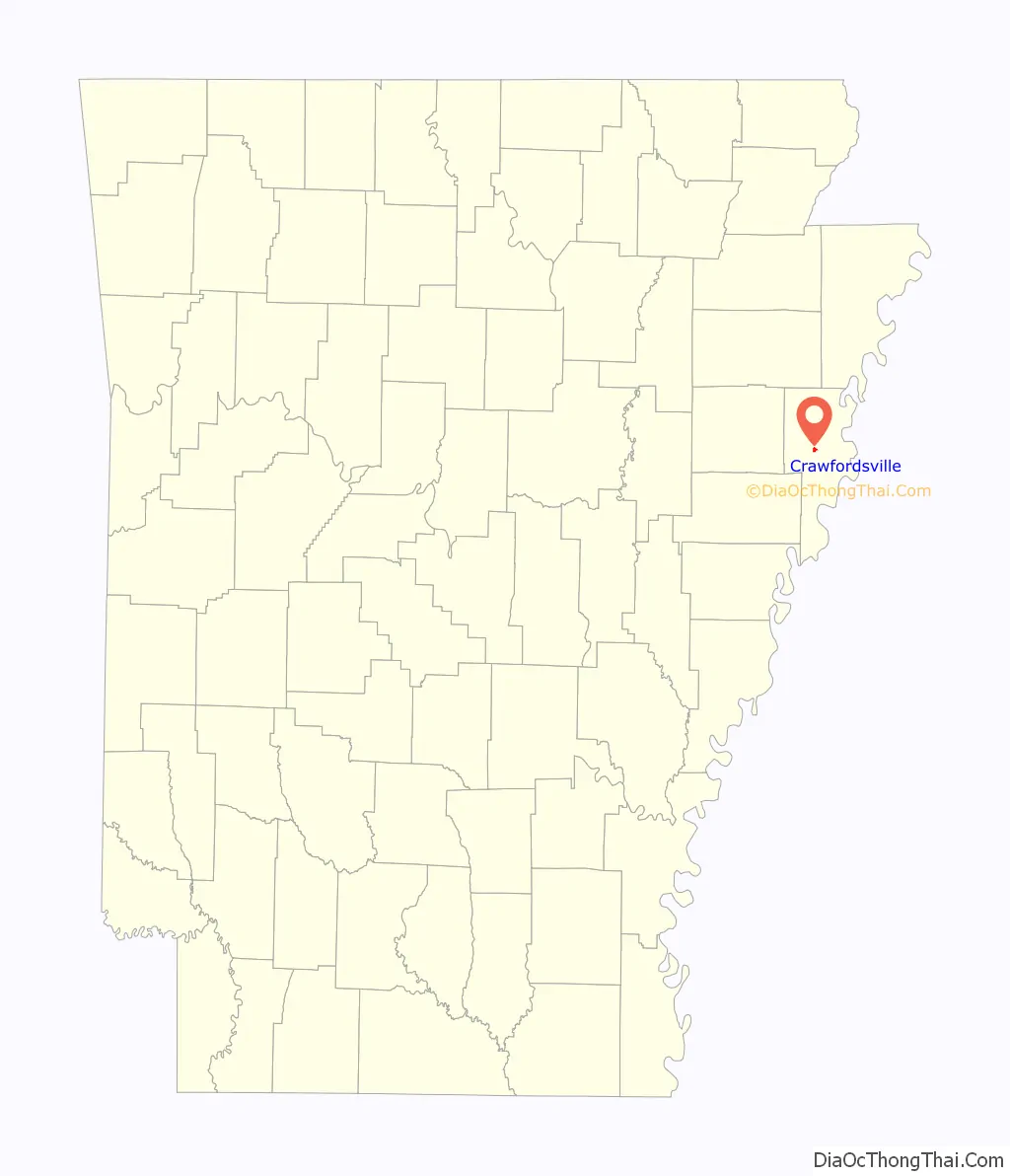
Crawfordsville location map. Where is Crawfordsville town?
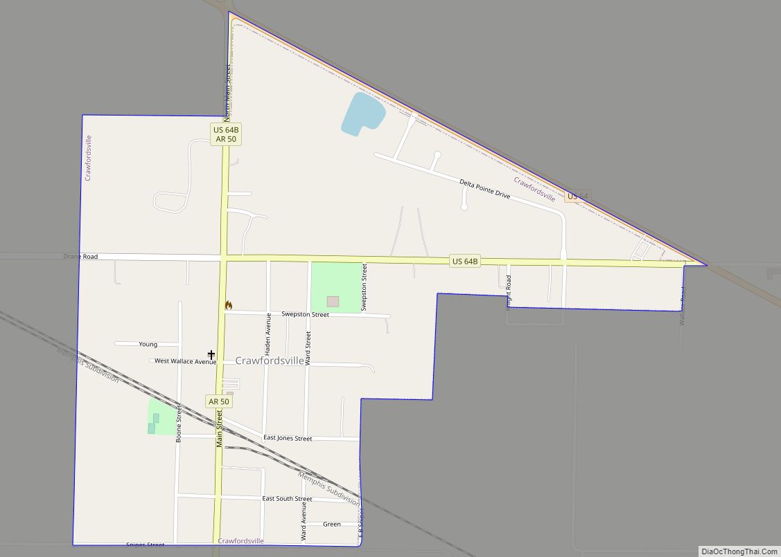
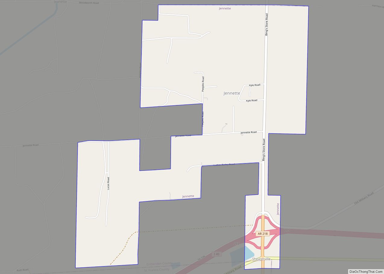
Crawfordsville Road Map
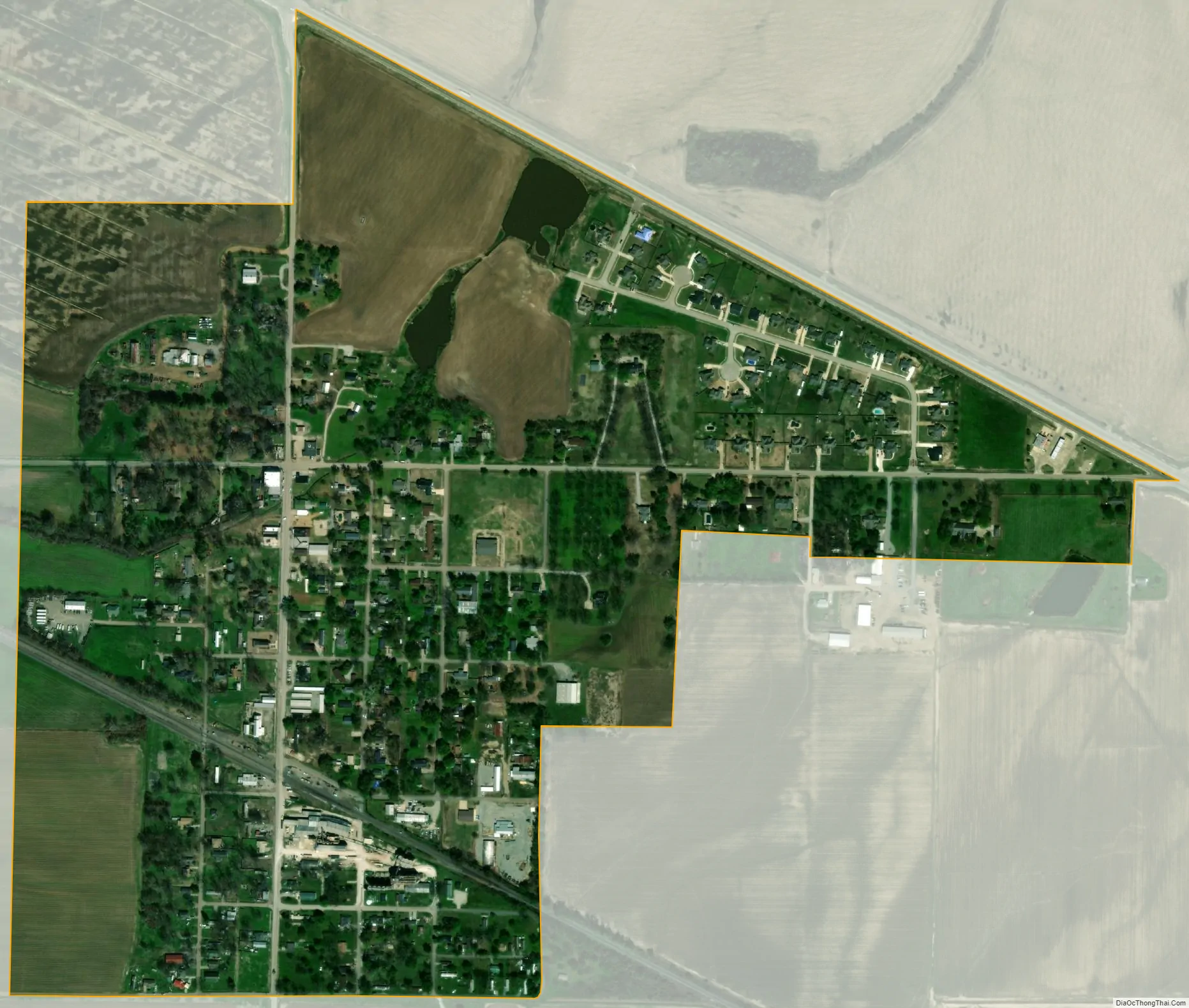
Crawfordsville city Satellite Map
Geography
Crawfordsville is located near the center of Crittenden County at 35°13′33″N 90°19′35″W / 35.22583°N 90.32639°W / 35.22583; -90.32639 (35.225741, -90.326318). According to the United States Census Bureau, Crawfordsville has a total area of 0.58 square miles (1.5 km), all land.
Ecologically, Crawfordsville is located within the Northern Backswamps ecoregion within the larger Mississippi Alluvial Plain. The Northern Backswamps are a network of low-lying overflow areas and floodplains historically dominated by bald cypress, water tupelo, overcup oak, water hickory, and Nuttall oak forest subject to year-round or seasonal inundation. The Wapanocca National Wildlife Refuge, which preserves some of the year-round flooded bald cypress forest typical of this ecoregion prior to development for row agriculture lies northeast of Crawfordsville.
U.S. Route 64 passes just north of the town, leading east 8 miles (13 km) to Marion and 19 miles (31 km) to Memphis, Tennessee, and west 9 miles (14 km) to Earle.
See also
Map of Arkansas State and its subdivision:- Arkansas
- Ashley
- Baxter
- Benton
- Boone
- Bradley
- Calhoun
- Carroll
- Chicot
- Clark
- Clay
- Cleburne
- Cleveland
- Columbia
- Conway
- Craighead
- Crawford
- Crittenden
- Cross
- Dallas
- Desha
- Drew
- Faulkner
- Franklin
- Fulton
- Garland
- Grant
- Greene
- Hempstead
- Hot Spring
- Howard
- Independence
- Izard
- Jackson
- Jefferson
- Johnson
- Lafayette
- Lawrence
- Lee
- Lincoln
- Little River
- Logan
- Lonoke
- Madison
- Marion
- Miller
- Mississippi
- Monroe
- Montgomery
- Nevada
- Newton
- Ouachita
- Perry
- Phillips
- Pike
- Poinsett
- Polk
- Pope
- Prairie
- Pulaski
- Randolph
- Saint Francis
- Saline
- Scott
- Searcy
- Sebastian
- Sevier
- Sharp
- Stone
- Union
- Van Buren
- Washington
- White
- Woodruff
- Yell
- Alabama
- Alaska
- Arizona
- Arkansas
- California
- Colorado
- Connecticut
- Delaware
- District of Columbia
- Florida
- Georgia
- Hawaii
- Idaho
- Illinois
- Indiana
- Iowa
- Kansas
- Kentucky
- Louisiana
- Maine
- Maryland
- Massachusetts
- Michigan
- Minnesota
- Mississippi
- Missouri
- Montana
- Nebraska
- Nevada
- New Hampshire
- New Jersey
- New Mexico
- New York
- North Carolina
- North Dakota
- Ohio
- Oklahoma
- Oregon
- Pennsylvania
- Rhode Island
- South Carolina
- South Dakota
- Tennessee
- Texas
- Utah
- Vermont
- Virginia
- Washington
- West Virginia
- Wisconsin
- Wyoming