Dell is a town in Mississippi County, Arkansas, United States. The population was 194 at the 2020 census.
| Name: | Dell town |
|---|---|
| LSAD Code: | 43 |
| LSAD Description: | town (suffix) |
| State: | Arkansas |
| County: | Mississippi County |
| Elevation: | 240 ft (70 m) |
| Total Area: | 0.92 sq mi (2.38 km²) |
| Land Area: | 0.92 sq mi (2.38 km²) |
| Water Area: | 0.00 sq mi (0.00 km²) |
| Total Population: | 194 |
| Population Density: | 210.64/sq mi (81.37/km²) |
| ZIP code: | 72426 |
| Area code: | 870 |
| FIPS code: | 0518160 |
| GNISfeature ID: | 2406372 |
Online Interactive Map
Click on ![]() to view map in "full screen" mode.
to view map in "full screen" mode.
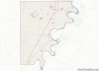
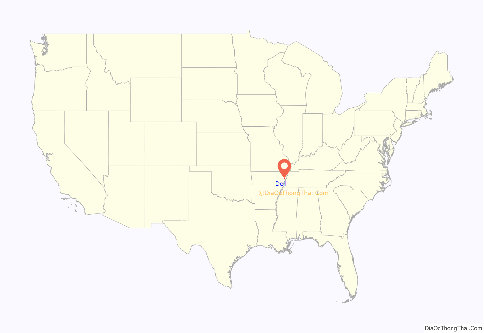
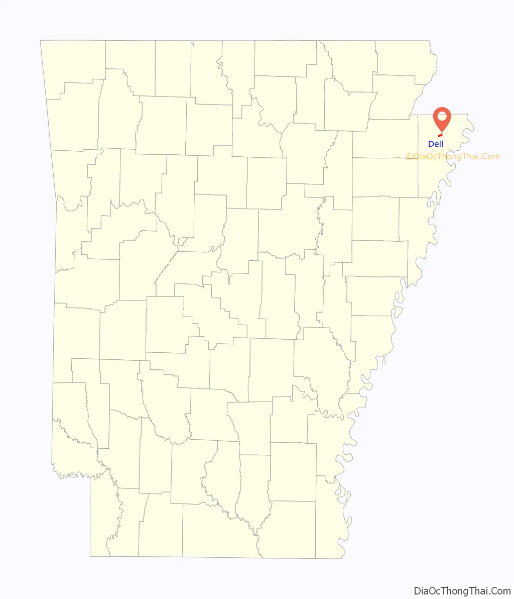
Dell location map. Where is Dell town?
History
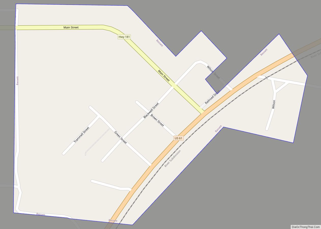
Dell has its origins in a community that developed around a loading dock and post office operated by J.B. Richardson in the late 1890s. When the Jonesboro, Lake City and Eastern Railroad completed a rail line through the area, a town was laid out near the tracks. The town was initially known as “Rozell” after an early landowner, but due to naming conflicts with a nearby community known as “Rochelle”, the name was changed to “Dell”. The town incorporated in 1905.
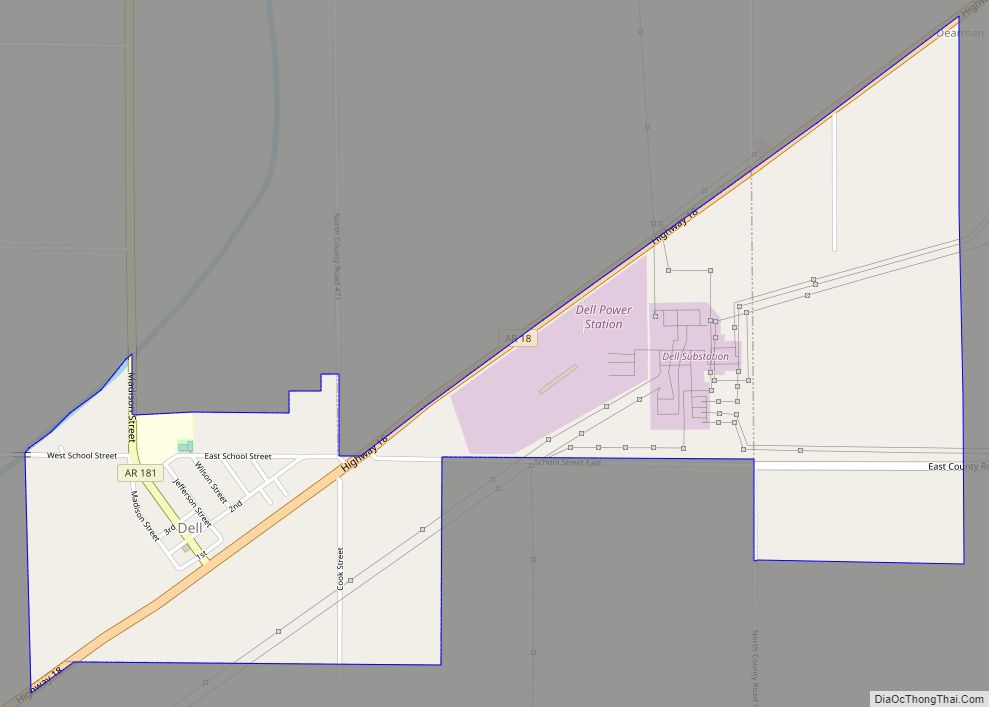
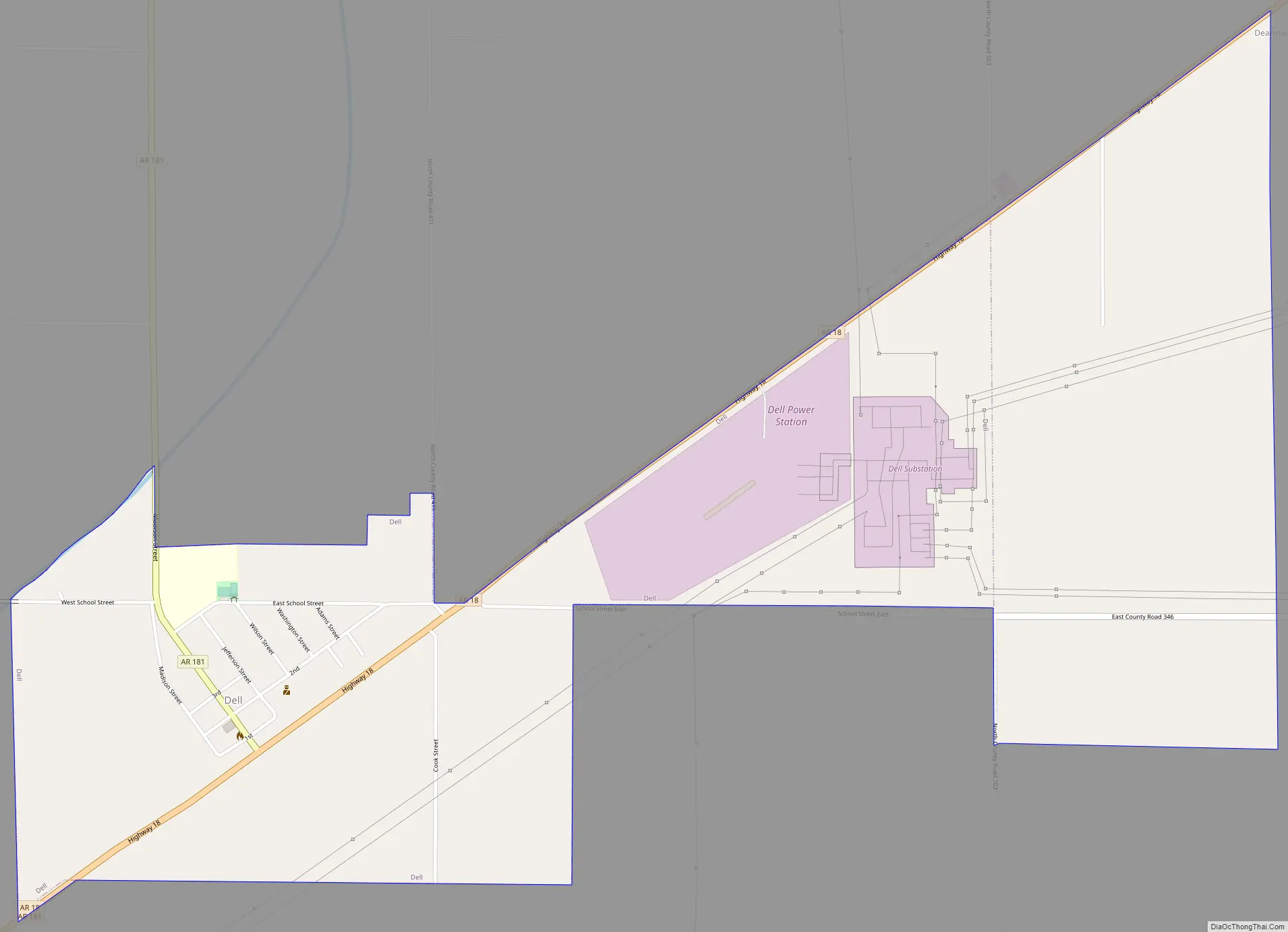
Dell Road Map
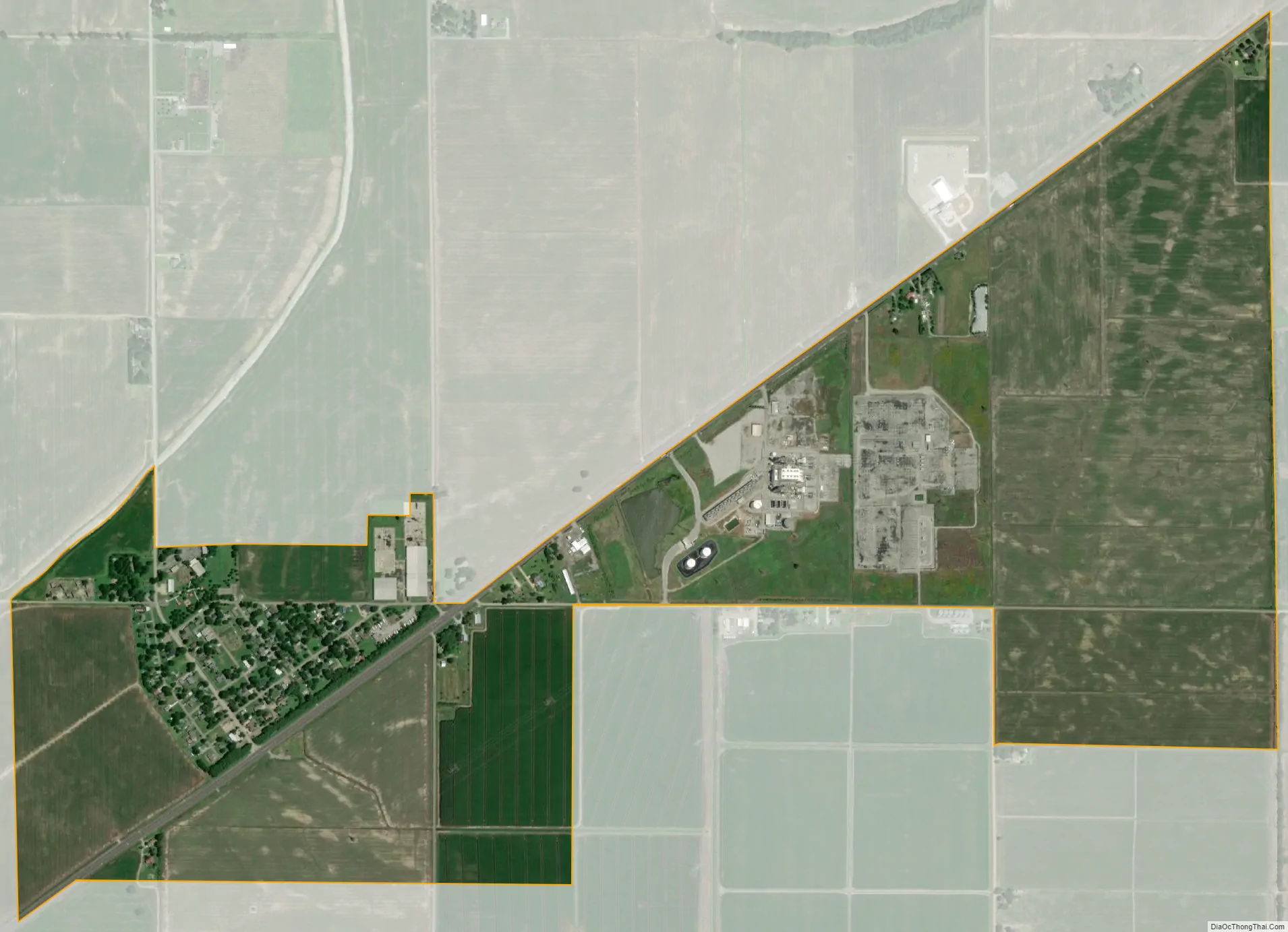
Dell city Satellite Map
Geography
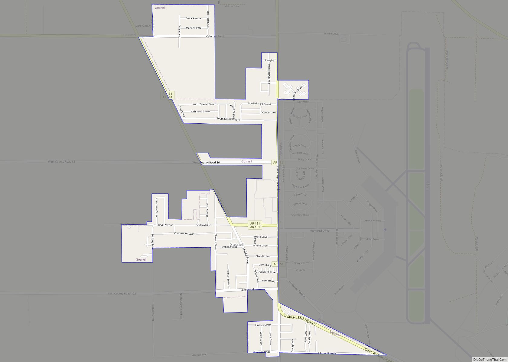
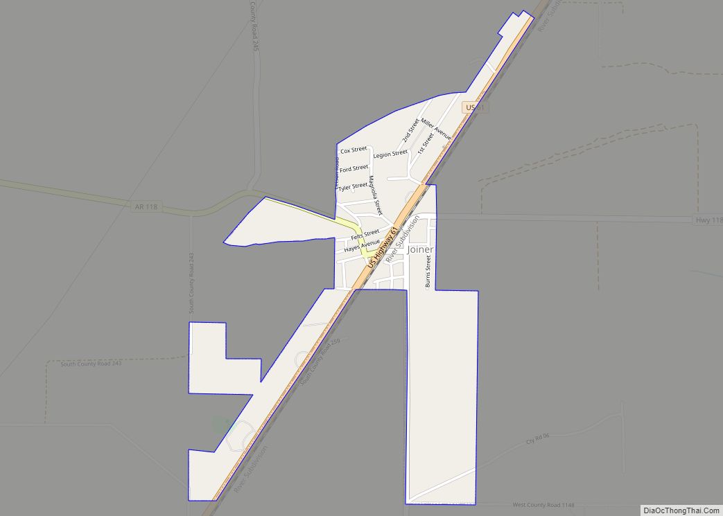
Dell is located in northern Mississippi County. The town lies along the Pemiscot Bayou 9 miles (14 km) southwest of Blytheville, the largest city in the county, and 10 miles (16 km) south of the Arkansas-Missouri state line. Arkansas Highway 18 passes through Dell, connecting the town with Blytheville to the northeast and Manila 8 miles (13 km) to the west. Arkansas Highway 181 intersects AR 14 in Dell, connecting the town with Gosnell 11 miles (18 km) to the northeast and Keiser 15 miles (24 km) to the south.
According to the United States Census Bureau, the town of Dell has a total area of 0.92 square miles (2.38 km), all land.
See also
Map of Arkansas State and its subdivision:- Arkansas
- Ashley
- Baxter
- Benton
- Boone
- Bradley
- Calhoun
- Carroll
- Chicot
- Clark
- Clay
- Cleburne
- Cleveland
- Columbia
- Conway
- Craighead
- Crawford
- Crittenden
- Cross
- Dallas
- Desha
- Drew
- Faulkner
- Franklin
- Fulton
- Garland
- Grant
- Greene
- Hempstead
- Hot Spring
- Howard
- Independence
- Izard
- Jackson
- Jefferson
- Johnson
- Lafayette
- Lawrence
- Lee
- Lincoln
- Little River
- Logan
- Lonoke
- Madison
- Marion
- Miller
- Mississippi
- Monroe
- Montgomery
- Nevada
- Newton
- Ouachita
- Perry
- Phillips
- Pike
- Poinsett
- Polk
- Pope
- Prairie
- Pulaski
- Randolph
- Saint Francis
- Saline
- Scott
- Searcy
- Sebastian
- Sevier
- Sharp
- Stone
- Union
- Van Buren
- Washington
- White
- Woodruff
- Yell
- Alabama
- Alaska
- Arizona
- Arkansas
- California
- Colorado
- Connecticut
- Delaware
- District of Columbia
- Florida
- Georgia
- Hawaii
- Idaho
- Illinois
- Indiana
- Iowa
- Kansas
- Kentucky
- Louisiana
- Maine
- Maryland
- Massachusetts
- Michigan
- Minnesota
- Mississippi
- Missouri
- Montana
- Nebraska
- Nevada
- New Hampshire
- New Jersey
- New Mexico
- New York
- North Carolina
- North Dakota
- Ohio
- Oklahoma
- Oregon
- Pennsylvania
- Rhode Island
- South Carolina
- South Dakota
- Tennessee
- Texas
- Utah
- Vermont
- Virginia
- Washington
- West Virginia
- Wisconsin
- Wyoming