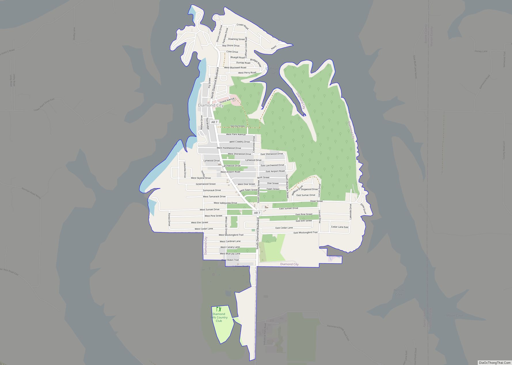
Diamond City is a city in northeast Boone County, Arkansas, United States. The population was 782 at the 2010 census. It is part of the Harrison Micropolitan Statistical Area.
| Name: | Diamond City city |
|---|---|
| LSAD Code: | 25 |
| LSAD Description: | city (suffix) |
| State: | Arkansas |
| County: | Boone County |
| Elevation: | 804 ft (245 m) |
| Total Area: | 2.82 sq mi (7.30 km²) |
| Land Area: | 2.82 sq mi (7.30 km²) |
| Water Area: | 0.00 sq mi (0.00 km²) |
| Total Population: | 757 |
| Population Density: | 268.73/sq mi (103.75/km²) |
| ZIP code: | 72630 |
| Area code: | 870 |
| FIPS code: | 0518850 |
| GNISfeature ID: | 0057652 |
| Website: | diamondcityar.com |
Online Interactive Map
Click on ![]() to view map in "full screen" mode.
to view map in "full screen" mode.
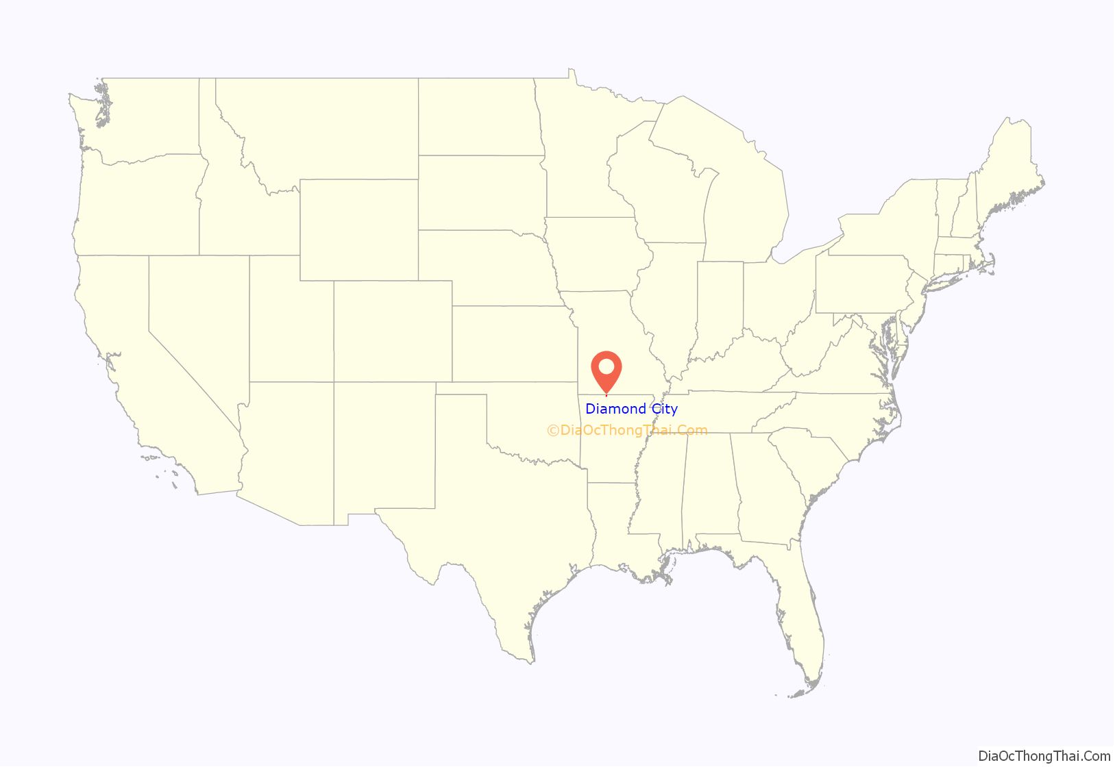
Diamond City location map. Where is Diamond City city?
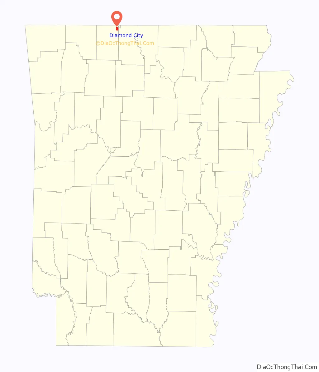
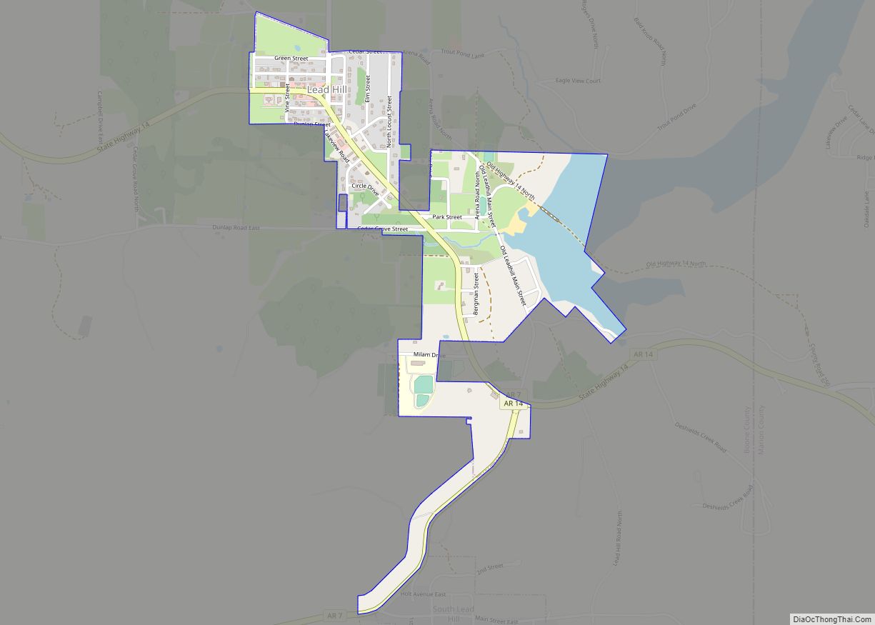
Diamond City Road Map
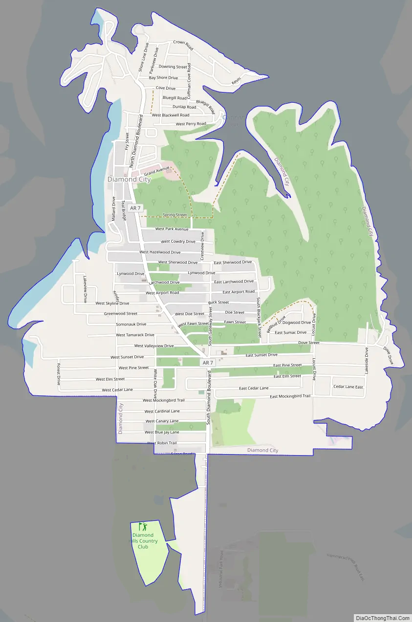
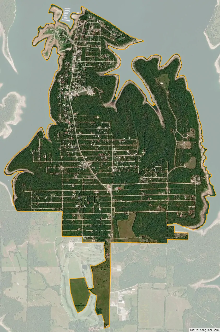
Diamond City city Satellite Map
Geography
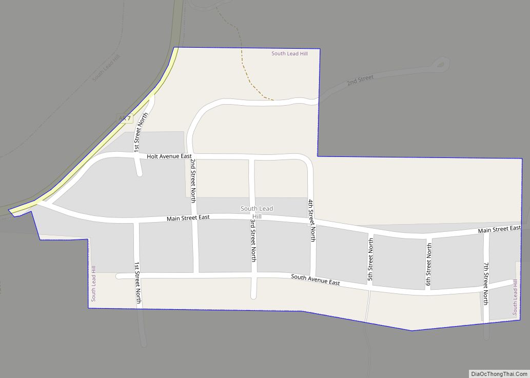
Diamond City is located on the south shore of Bull Shoals Lake between east and west Sugarloaf Creeks. The community of Lead Hill lies two miles south on Route 7.
According to the United States Census Bureau, the city has a total area of 2.68 square miles (6.9 km), all of it land.
Major highway
- Arkansas Highway 7
Arkansas State Highway 7 reaches its northern terminus at Bull Shoals Lake at the northern edge of Diamond City at a state maintained park and privately owned marinas.
See also
Map of Arkansas State and its subdivision:- Arkansas
- Ashley
- Baxter
- Benton
- Boone
- Bradley
- Calhoun
- Carroll
- Chicot
- Clark
- Clay
- Cleburne
- Cleveland
- Columbia
- Conway
- Craighead
- Crawford
- Crittenden
- Cross
- Dallas
- Desha
- Drew
- Faulkner
- Franklin
- Fulton
- Garland
- Grant
- Greene
- Hempstead
- Hot Spring
- Howard
- Independence
- Izard
- Jackson
- Jefferson
- Johnson
- Lafayette
- Lawrence
- Lee
- Lincoln
- Little River
- Logan
- Lonoke
- Madison
- Marion
- Miller
- Mississippi
- Monroe
- Montgomery
- Nevada
- Newton
- Ouachita
- Perry
- Phillips
- Pike
- Poinsett
- Polk
- Pope
- Prairie
- Pulaski
- Randolph
- Saint Francis
- Saline
- Scott
- Searcy
- Sebastian
- Sevier
- Sharp
- Stone
- Union
- Van Buren
- Washington
- White
- Woodruff
- Yell
- Alabama
- Alaska
- Arizona
- Arkansas
- California
- Colorado
- Connecticut
- Delaware
- District of Columbia
- Florida
- Georgia
- Hawaii
- Idaho
- Illinois
- Indiana
- Iowa
- Kansas
- Kentucky
- Louisiana
- Maine
- Maryland
- Massachusetts
- Michigan
- Minnesota
- Mississippi
- Missouri
- Montana
- Nebraska
- Nevada
- New Hampshire
- New Jersey
- New Mexico
- New York
- North Carolina
- North Dakota
- Ohio
- Oklahoma
- Oregon
- Pennsylvania
- Rhode Island
- South Carolina
- South Dakota
- Tennessee
- Texas
- Utah
- Vermont
- Virginia
- Washington
- West Virginia
- Wisconsin
- Wyoming