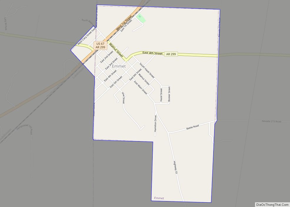
Emmet is a city in Nevada and Hempstead counties in the U.S. state of Arkansas. It is located at the intersection of U.S. Highway 67 and Arkansas Highway 299 in the Arkansas Timberlands region of southwest Arkansas. It is part of the larger Ark-La-Tex tri-state region. As of the 2010 census, the population of Emmet was 518.
| Name: | Emmet city |
|---|---|
| LSAD Code: | 25 |
| LSAD Description: | city (suffix) |
| State: | Arkansas |
| County: | Hempstead County, Nevada County |
| Elevation: | 318 ft (97 m) |
| Total Area: | 1.46 sq mi (3.79 km²) |
| Land Area: | 1.44 sq mi (3.73 km²) |
| Water Area: | 0.02 sq mi (0.06 km²) |
| Total Population: | 415 |
| Population Density: | 287.79/sq mi (111.13/km²) |
| ZIP code: | 71835 |
| Area code: | 870 |
| FIPS code: | 0521610 |
| GNISfeature ID: | 0048893 |
Online Interactive Map
Click on ![]() to view map in "full screen" mode.
to view map in "full screen" mode.
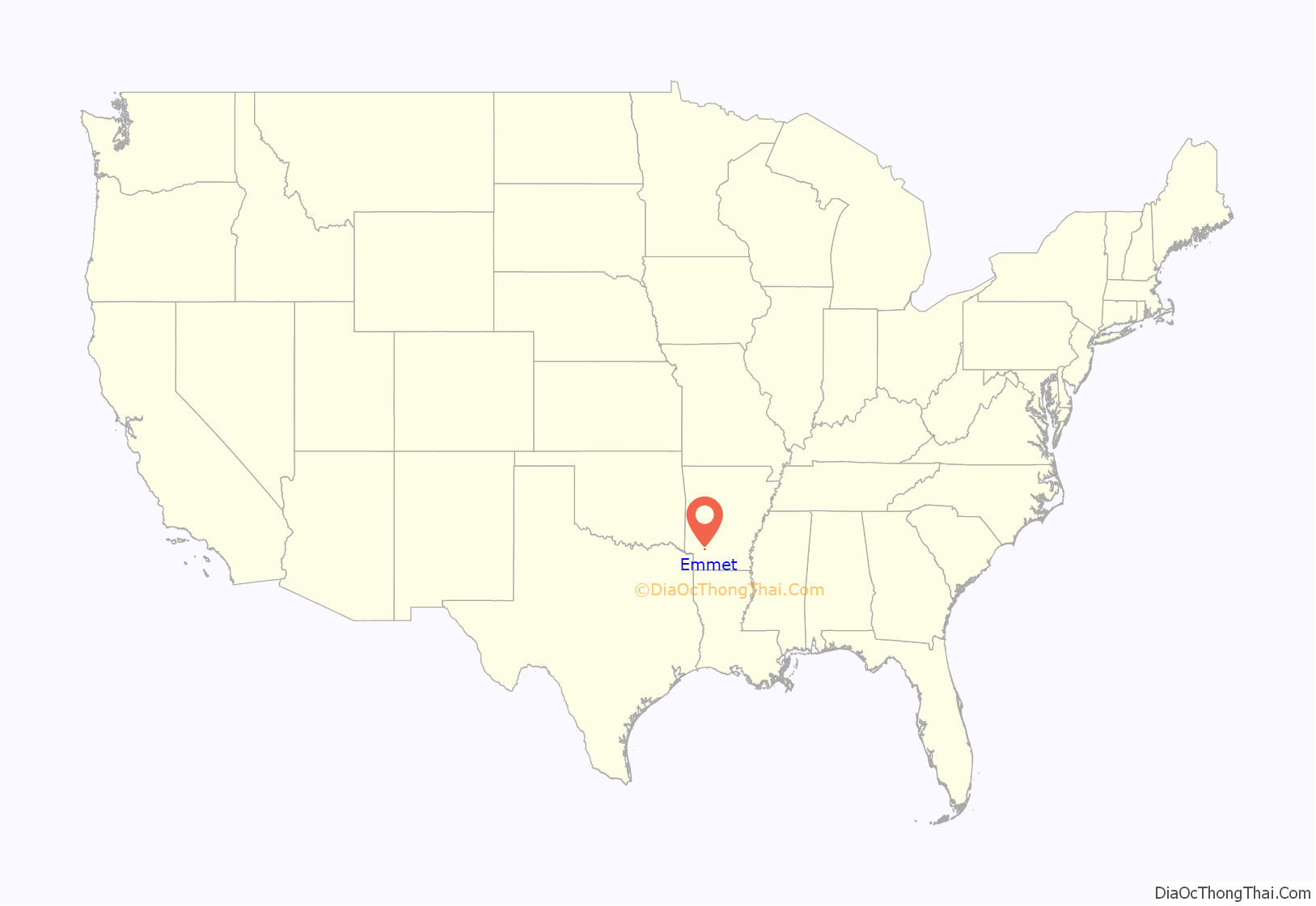
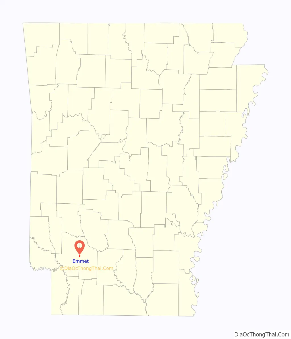
Emmet location map. Where is Emmet city?
History
The area around Emmet had long been inhabited by the Caddo people, prior to European colonization of the Americas. It consisted of gently rolling hills and prairies, interspersed with dense timber and fertile lowlands.
By the time of the Louisiana Purchase, the natural fauna was being removed in favor of more profitable crops. Wildlife that had been an important sustenance for the Natives was also being removed, and over time the Caddo population was greatly diminished.
In the years following Arkansas statehood, settlers began flowing steadily in. Some were following the Southwest Trail to Fulton on the Red River, while others saw opportunity in the area where Emmet would be established.
In 1837, Martin Edwards secured one of the first land patents in Arkansas. His property encompassed the area that would include the community of Burkville, precursor to the city of Emmet.
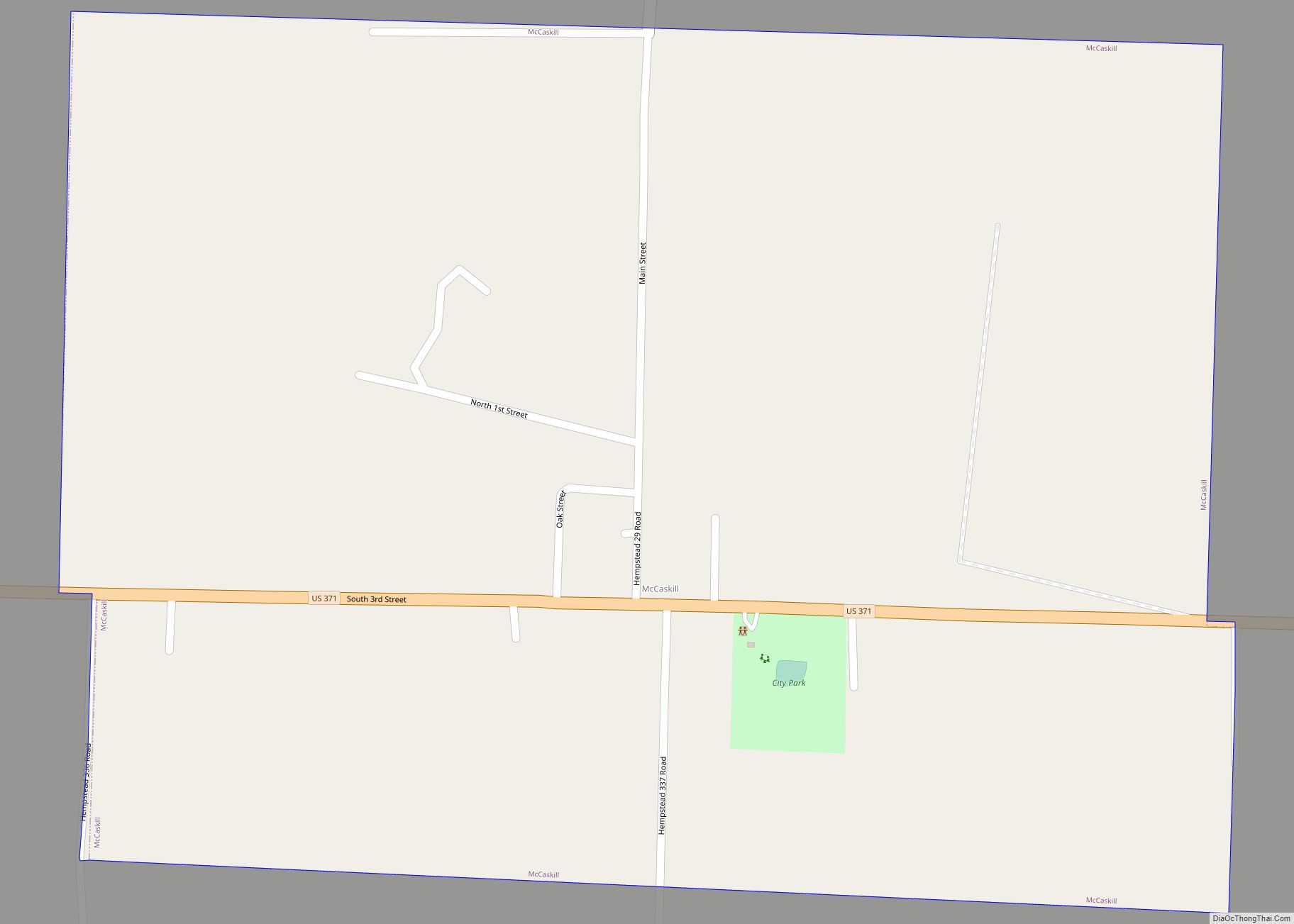
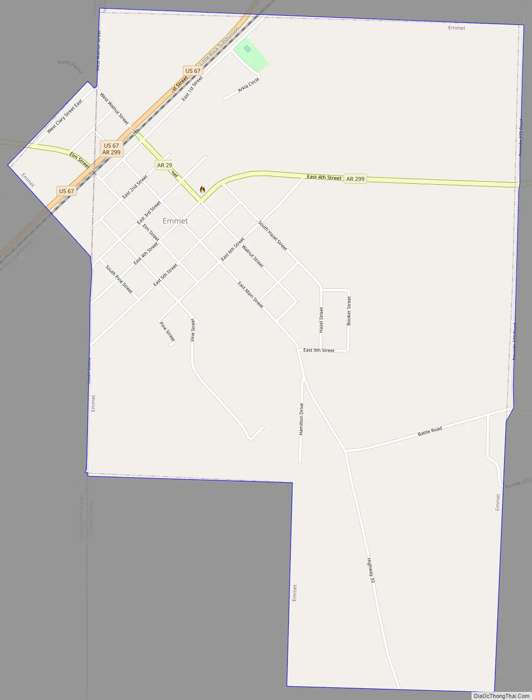
Emmet Road Map
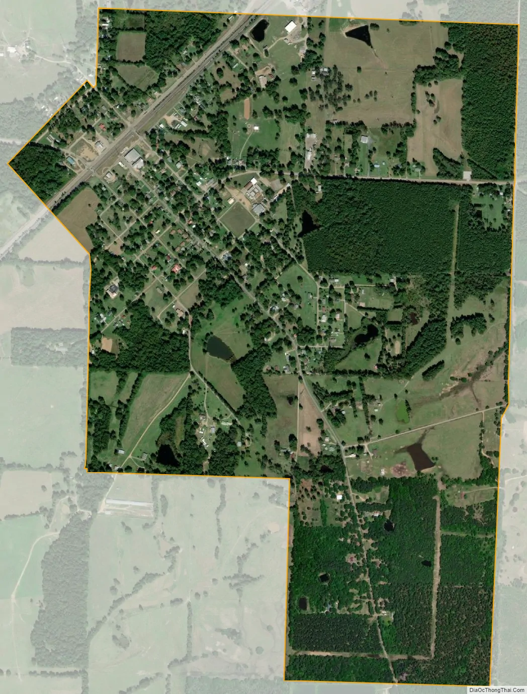
Emmet city Satellite Map
Geography
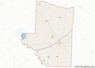
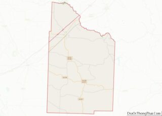
Emmet is located in western Nevada County. A small portion of the city extends west into Hempstead County.
The city is situated near the headwaters of the Terre Rouge Creek watershed which meanders northeastward for 17 miles (27 km) before joining the Little Missouri River at a point 11 miles (18 km) east of Prescott and 6 miles (10 km) northwest of Reader. The Prairie d’Ane is 8 miles (13 km) northeast of Emmet, and the Prairie de Roan is 8 miles (13 km) to the southwest. Both prairies were noted by Robert T. Hill during the Arkansas Geological Survey of 1888.
U.S. Highway 67 passes through the northwest side of Emmet, leading northeast 8 miles (13 km) to Prescott and southwest the same distance to Hope. Arkansas Highway 299 passes through the center of Emmet, leading east 24 miles (39 km) to Bluff City and west 3 miles (5 km) to Interstate 30, that highway’s closest access to Emmet.
According to the United States Census Bureau, Emmet has a total area of 1.5 square miles (3.9 km), of which 0.02 square miles (0.06 km), or 1.43%, are water.
See also
Map of Arkansas State and its subdivision:- Arkansas
- Ashley
- Baxter
- Benton
- Boone
- Bradley
- Calhoun
- Carroll
- Chicot
- Clark
- Clay
- Cleburne
- Cleveland
- Columbia
- Conway
- Craighead
- Crawford
- Crittenden
- Cross
- Dallas
- Desha
- Drew
- Faulkner
- Franklin
- Fulton
- Garland
- Grant
- Greene
- Hempstead
- Hot Spring
- Howard
- Independence
- Izard
- Jackson
- Jefferson
- Johnson
- Lafayette
- Lawrence
- Lee
- Lincoln
- Little River
- Logan
- Lonoke
- Madison
- Marion
- Miller
- Mississippi
- Monroe
- Montgomery
- Nevada
- Newton
- Ouachita
- Perry
- Phillips
- Pike
- Poinsett
- Polk
- Pope
- Prairie
- Pulaski
- Randolph
- Saint Francis
- Saline
- Scott
- Searcy
- Sebastian
- Sevier
- Sharp
- Stone
- Union
- Van Buren
- Washington
- White
- Woodruff
- Yell
- Alabama
- Alaska
- Arizona
- Arkansas
- California
- Colorado
- Connecticut
- Delaware
- District of Columbia
- Florida
- Georgia
- Hawaii
- Idaho
- Illinois
- Indiana
- Iowa
- Kansas
- Kentucky
- Louisiana
- Maine
- Maryland
- Massachusetts
- Michigan
- Minnesota
- Mississippi
- Missouri
- Montana
- Nebraska
- Nevada
- New Hampshire
- New Jersey
- New Mexico
- New York
- North Carolina
- North Dakota
- Ohio
- Oklahoma
- Oregon
- Pennsylvania
- Rhode Island
- South Carolina
- South Dakota
- Tennessee
- Texas
- Utah
- Vermont
- Virginia
- Washington
- West Virginia
- Wisconsin
- Wyoming