Etowah is a town in Mississippi County, Arkansas, United States. The population was 254 at the 2020 census, down from 351 in 2010.
| Name: | Etowah town |
|---|---|
| LSAD Code: | 43 |
| LSAD Description: | town (suffix) |
| State: | Arkansas |
| County: | Mississippi County |
| Elevation: | 230 ft (70 m) |
| Total Area: | 5.94 sq mi (15.39 km²) |
| Land Area: | 5.94 sq mi (15.38 km²) |
| Water Area: | 0.01 sq mi (0.01 km²) |
| Total Population: | 254 |
| Population Density: | 42.77/sq mi (16.51/km²) |
| ZIP code: | 72428 |
| Area code: | 870 |
| FIPS code: | 0522120 |
| GNISfeature ID: | 2406467 |
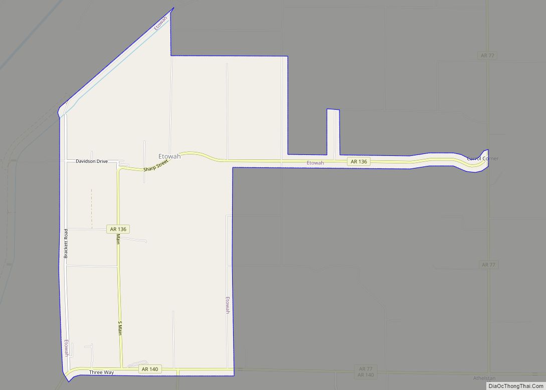
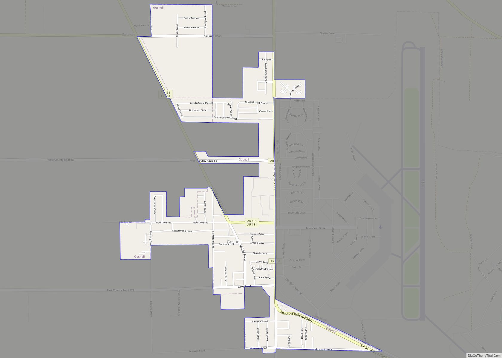
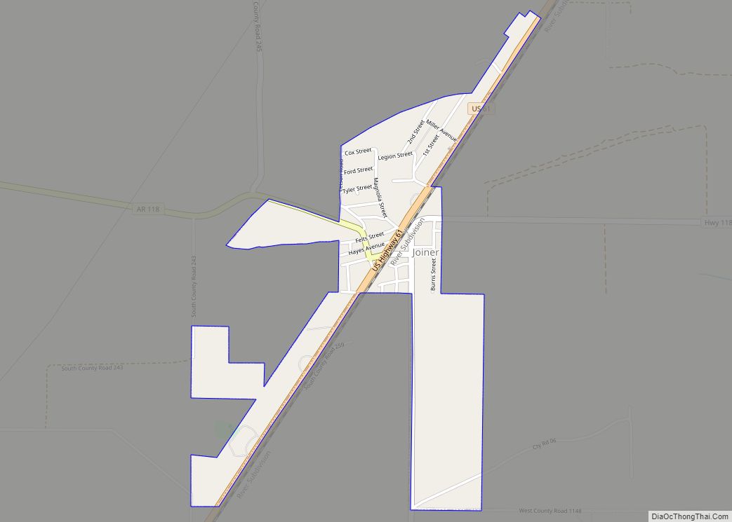
Online Interactive Map
Click on ![]() to view map in "full screen" mode.
to view map in "full screen" mode.
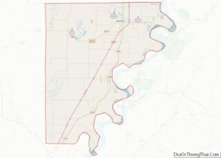
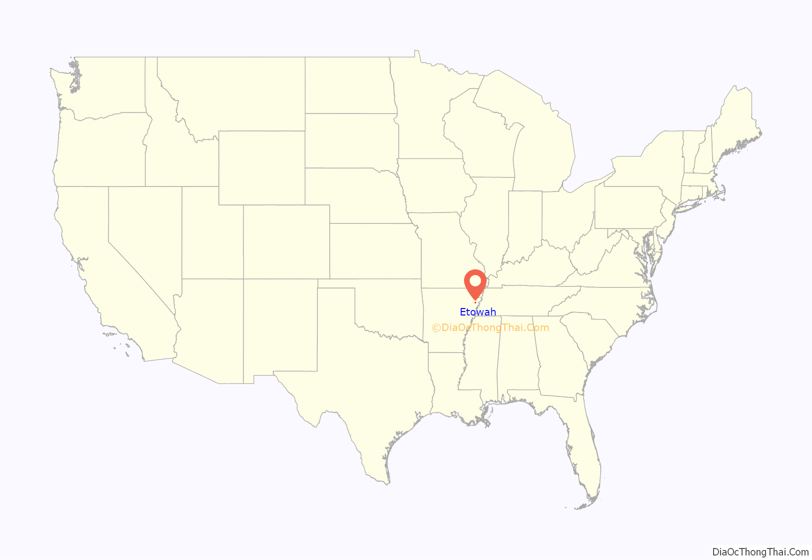
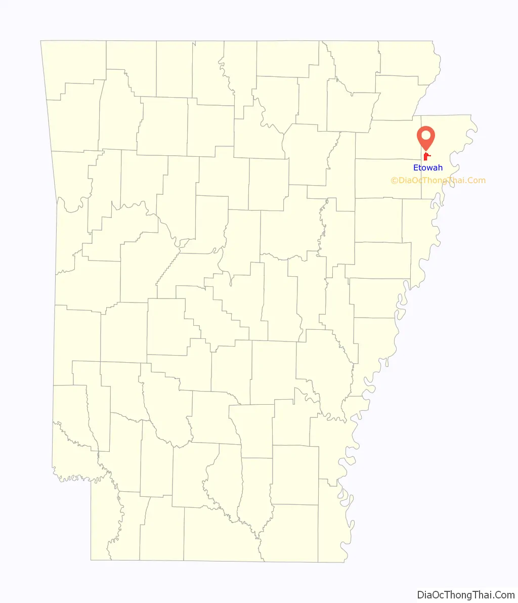
Etowah location map. Where is Etowah town?
History
Etowah began as a settlement established for workers of the Chapman and Dewey Lumber Company in the 1890s. When a post office was established in 1902, the name “Etowah” was chosen after several other names had been rejected by the postal service. Etowah incorporated as a town in 1996.
In recent years few have run against Mayor McCullom (Mayor Bo), who usually runs unopposed. Similarly, the seven City Council members are usually re-elected.
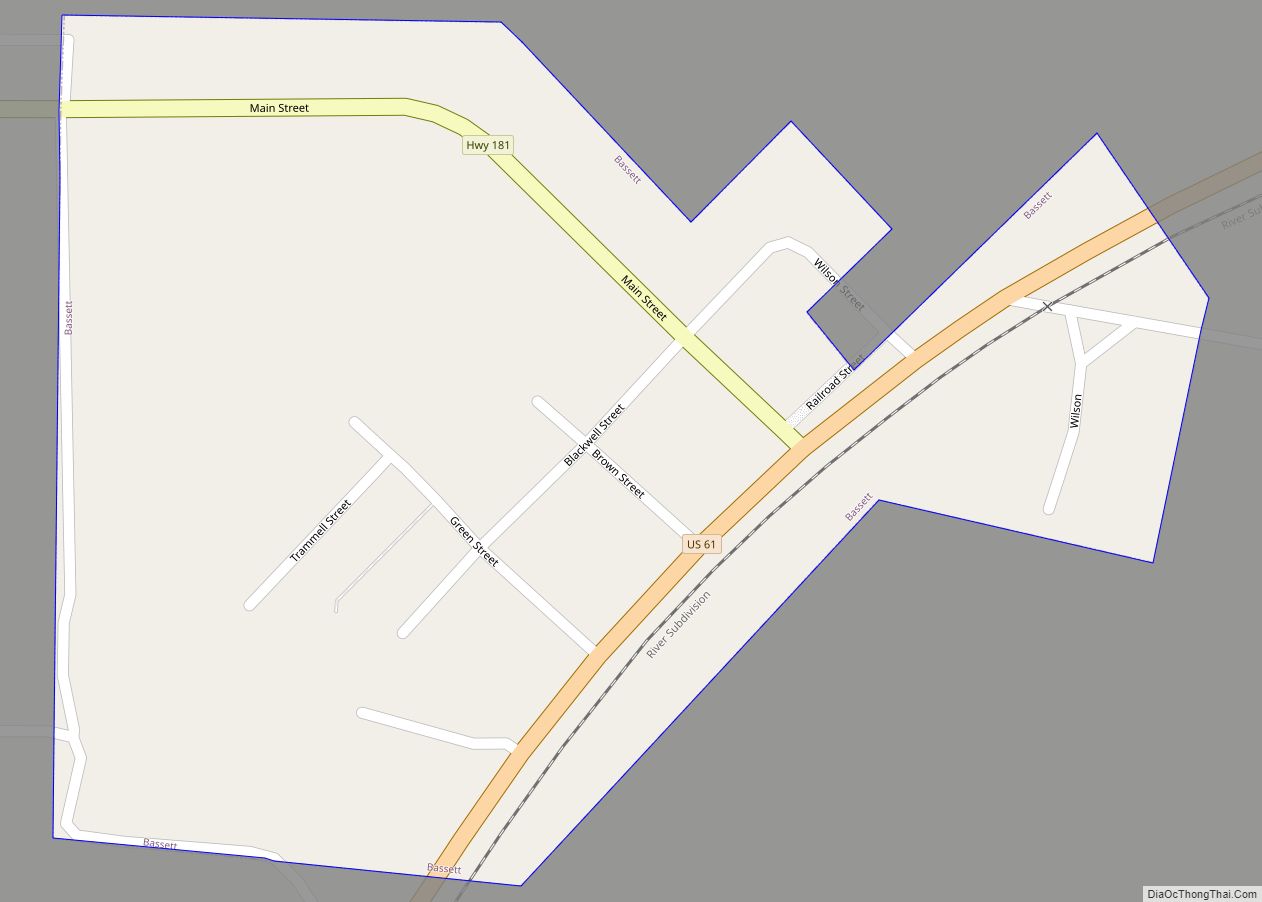
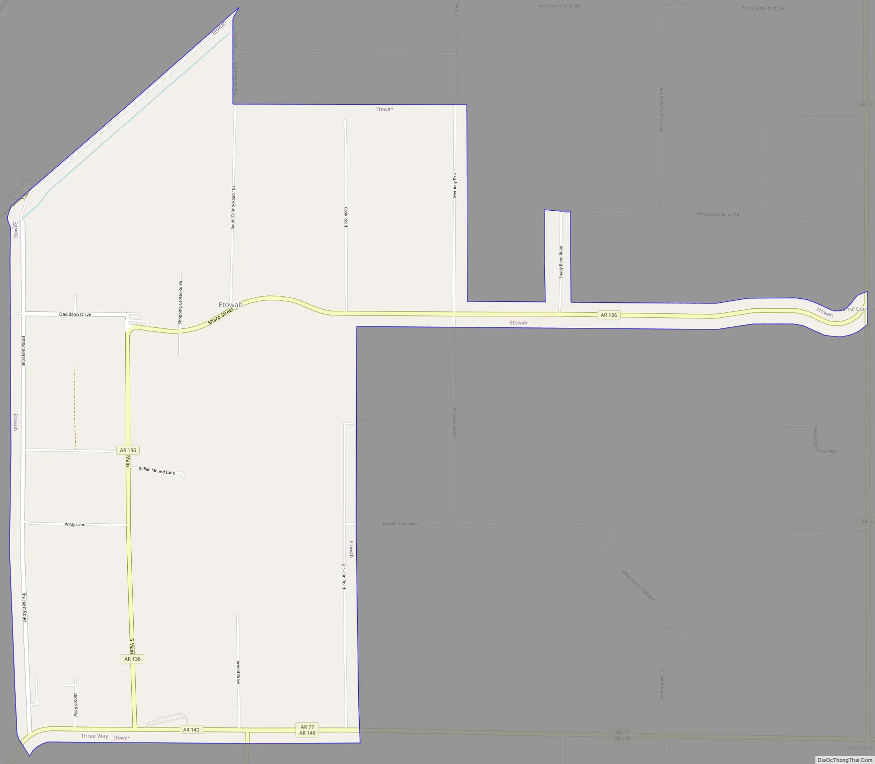
Etowah Road Map
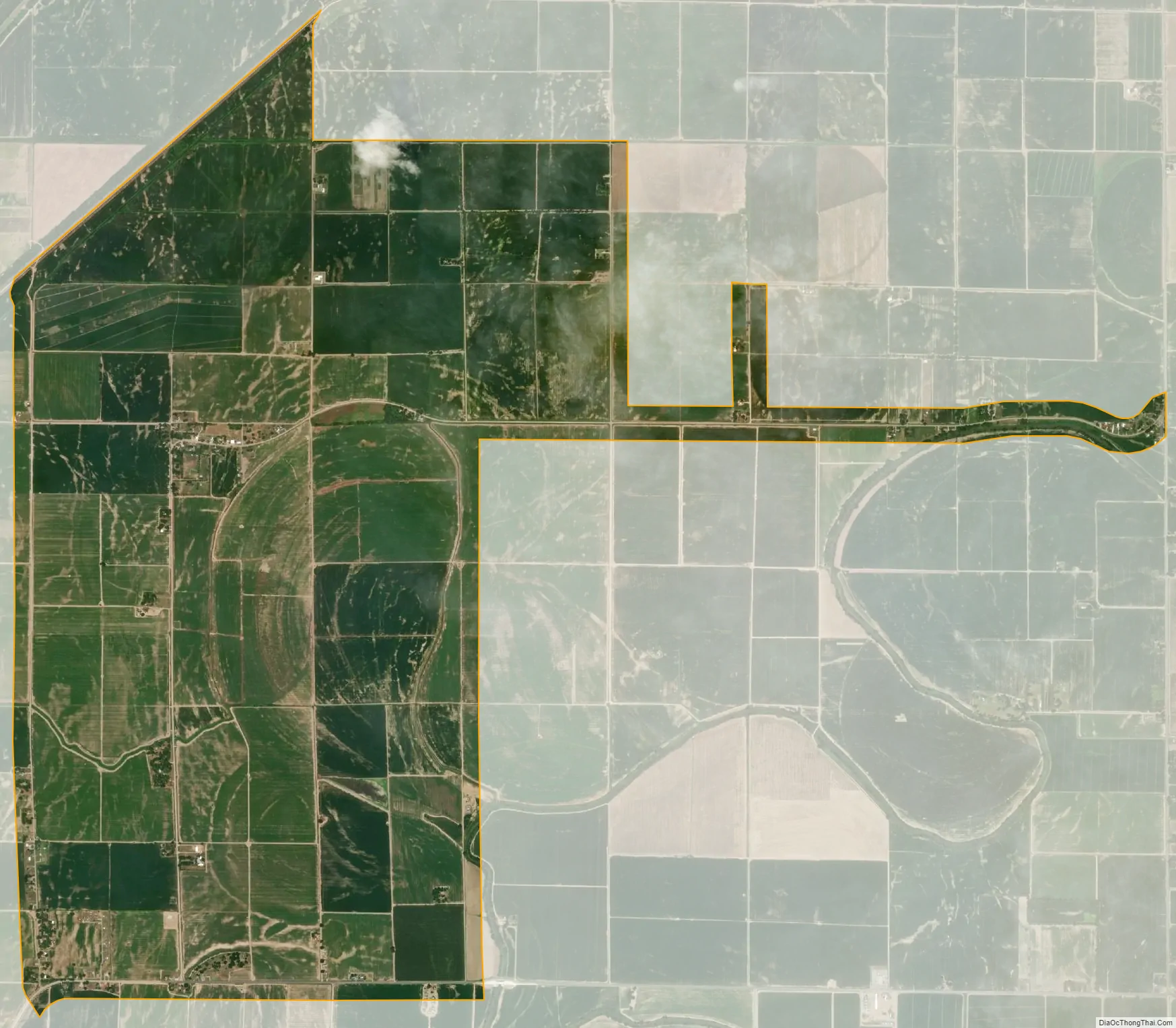
Etowah city Satellite Map
Geography
Etowah is located in western Mississippi County. The town is concentrated along Arkansas Highway 136 10 miles (16 km) northeast of Lepanto and 14 miles (23 km) south of Manila. It is 17 miles (27 km) west of Osceola, the county seat. Etowah’s municipal boundaries stretch southward to Arkansas Highway 140 and eastward to Arkansas Highway 77. The Left Hand Chute of the Little River passes through the southeastern part of the town.
According to the United States Census Bureau, the town of Etowah has a total area of 5.9 square miles (15 km), of which 0.005 square miles (0.013 km), or 0.08%, are water.
See also
Map of Arkansas State and its subdivision:- Arkansas
- Ashley
- Baxter
- Benton
- Boone
- Bradley
- Calhoun
- Carroll
- Chicot
- Clark
- Clay
- Cleburne
- Cleveland
- Columbia
- Conway
- Craighead
- Crawford
- Crittenden
- Cross
- Dallas
- Desha
- Drew
- Faulkner
- Franklin
- Fulton
- Garland
- Grant
- Greene
- Hempstead
- Hot Spring
- Howard
- Independence
- Izard
- Jackson
- Jefferson
- Johnson
- Lafayette
- Lawrence
- Lee
- Lincoln
- Little River
- Logan
- Lonoke
- Madison
- Marion
- Miller
- Mississippi
- Monroe
- Montgomery
- Nevada
- Newton
- Ouachita
- Perry
- Phillips
- Pike
- Poinsett
- Polk
- Pope
- Prairie
- Pulaski
- Randolph
- Saint Francis
- Saline
- Scott
- Searcy
- Sebastian
- Sevier
- Sharp
- Stone
- Union
- Van Buren
- Washington
- White
- Woodruff
- Yell
- Alabama
- Alaska
- Arizona
- Arkansas
- California
- Colorado
- Connecticut
- Delaware
- District of Columbia
- Florida
- Georgia
- Hawaii
- Idaho
- Illinois
- Indiana
- Iowa
- Kansas
- Kentucky
- Louisiana
- Maine
- Maryland
- Massachusetts
- Michigan
- Minnesota
- Mississippi
- Missouri
- Montana
- Nebraska
- Nevada
- New Hampshire
- New Jersey
- New Mexico
- New York
- North Carolina
- North Dakota
- Ohio
- Oklahoma
- Oregon
- Pennsylvania
- Rhode Island
- South Carolina
- South Dakota
- Tennessee
- Texas
- Utah
- Vermont
- Virginia
- Washington
- West Virginia
- Wisconsin
- Wyoming