Fifty-Six is an incorporated town in Stone County, Arkansas, United States. As of the 2020 census, the city had a total population of 158, a decrease of 15 people from 2010.
| Name: | Fifty-Six city |
|---|---|
| LSAD Code: | 25 |
| LSAD Description: | city (suffix) |
| State: | Arkansas |
| County: | Stone County |
| Elevation: | 889 ft (271 m) |
| Total Area: | 2.07 sq mi (5.36 km²) |
| Land Area: | 2.07 sq mi (5.36 km²) |
| Water Area: | 0.00 sq mi (0.01 km²) |
| Total Population: | 174 |
| Population Density: | 76.37/sq mi (29.48/km²) |
| ZIP code: | 72533 |
| Area code: | 870 |
| FIPS code: | 0523680 |
| GNISfeature ID: | 2403608 |
Online Interactive Map
Click on ![]() to view map in "full screen" mode.
to view map in "full screen" mode.
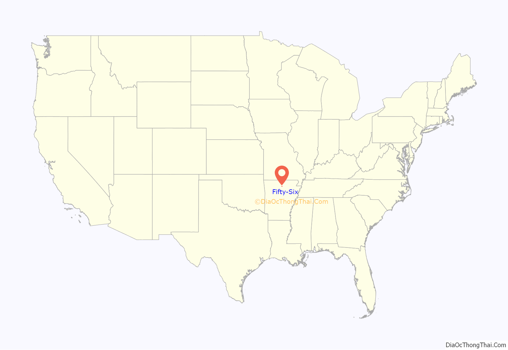
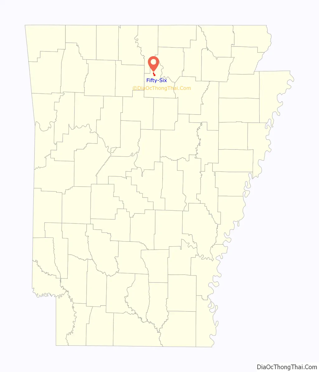
Fifty-Six location map. Where is Fifty-Six city?
History
When founding the community in 1918, locals submitted the name “Newcomb” for the settlement. This request was rejected, and the federal government internally named the community for its school district number (56). It has frequently been noted on lists of unusual place names.
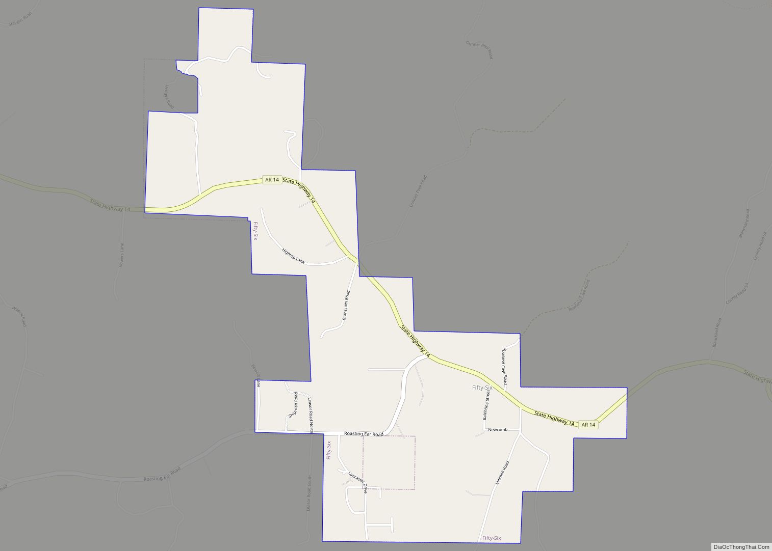
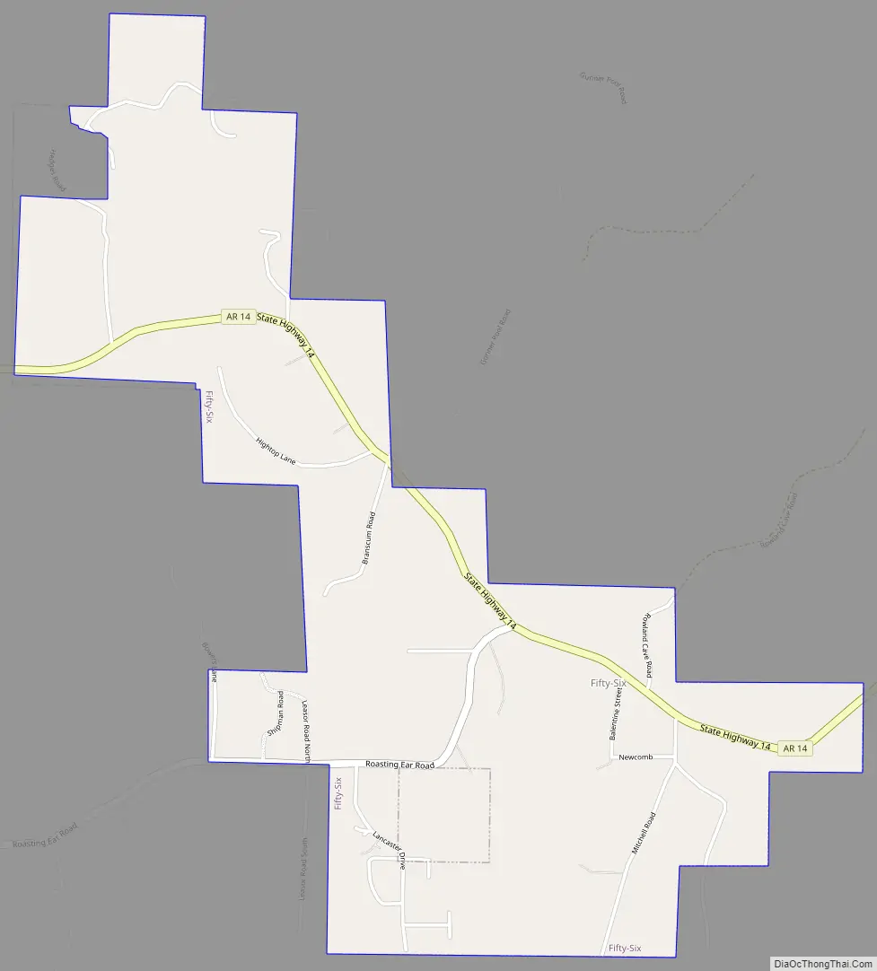
Fifty-Six Road Map
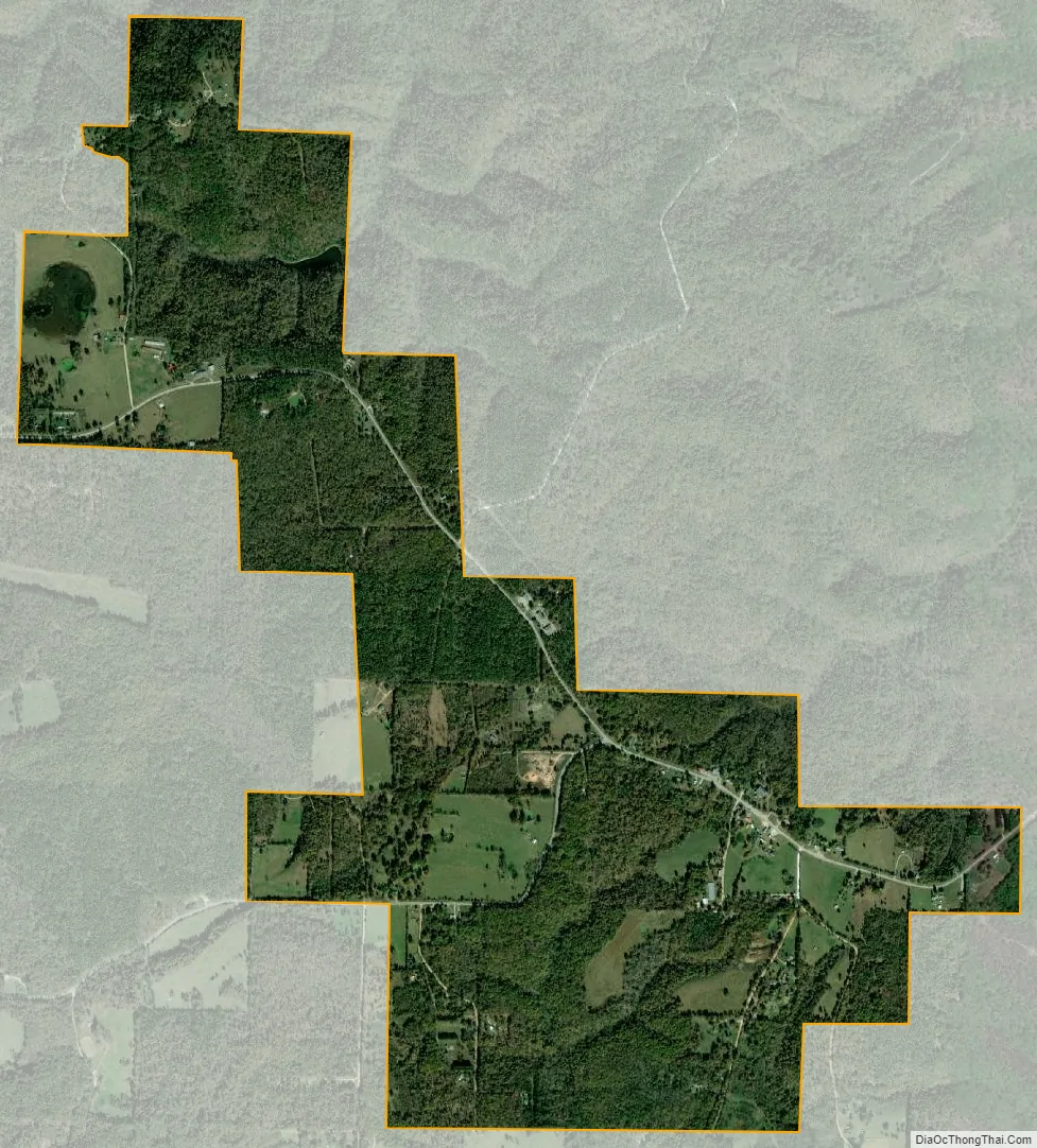
Fifty-Six city Satellite Map
Geography
Fifty-Six is located at 35°57′38″N 92°13′48″W / 35.96056°N 92.23000°W / 35.96056; -92.23000. According to the United States Census Bureau, the city has a total area of 2.1 square miles (5.4 km), all land.
See also
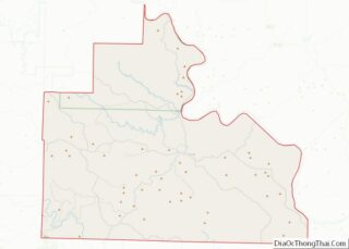
Map of Arkansas State and its subdivision:- Arkansas
- Ashley
- Baxter
- Benton
- Boone
- Bradley
- Calhoun
- Carroll
- Chicot
- Clark
- Clay
- Cleburne
- Cleveland
- Columbia
- Conway
- Craighead
- Crawford
- Crittenden
- Cross
- Dallas
- Desha
- Drew
- Faulkner
- Franklin
- Fulton
- Garland
- Grant
- Greene
- Hempstead
- Hot Spring
- Howard
- Independence
- Izard
- Jackson
- Jefferson
- Johnson
- Lafayette
- Lawrence
- Lee
- Lincoln
- Little River
- Logan
- Lonoke
- Madison
- Marion
- Miller
- Mississippi
- Monroe
- Montgomery
- Nevada
- Newton
- Ouachita
- Perry
- Phillips
- Pike
- Poinsett
- Polk
- Pope
- Prairie
- Pulaski
- Randolph
- Saint Francis
- Saline
- Scott
- Searcy
- Sebastian
- Sevier
- Sharp
- Stone
- Union
- Van Buren
- Washington
- White
- Woodruff
- Yell
- Alabama
- Alaska
- Arizona
- Arkansas
- California
- Colorado
- Connecticut
- Delaware
- District of Columbia
- Florida
- Georgia
- Hawaii
- Idaho
- Illinois
- Indiana
- Iowa
- Kansas
- Kentucky
- Louisiana
- Maine
- Maryland
- Massachusetts
- Michigan
- Minnesota
- Mississippi
- Missouri
- Montana
- Nebraska
- Nevada
- New Hampshire
- New Jersey
- New Mexico
- New York
- North Carolina
- North Dakota
- Ohio
- Oklahoma
- Oregon
- Pennsylvania
- Rhode Island
- South Carolina
- South Dakota
- Tennessee
- Texas
- Utah
- Vermont
- Virginia
- Washington
- West Virginia
- Wisconsin
- Wyoming