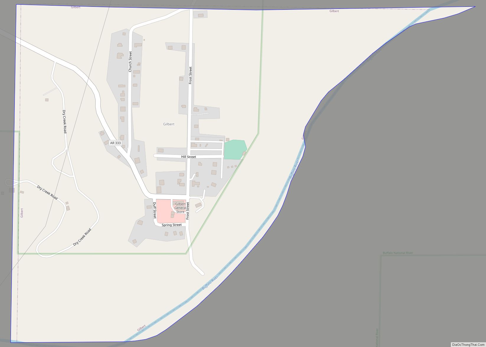
Gilbert is a town in Searcy County, Arkansas, United States. The population was 26 at the 2020 census, ranking it as the smallest municipality in the state and one of the smallest in the nation. Over the years, Gilbert has gained a reputation (along with Calico Rock) as one of the coldest locations in Arkansas.
| Name: | Gilbert town |
|---|---|
| LSAD Code: | 43 |
| LSAD Description: | town (suffix) |
| State: | Arkansas |
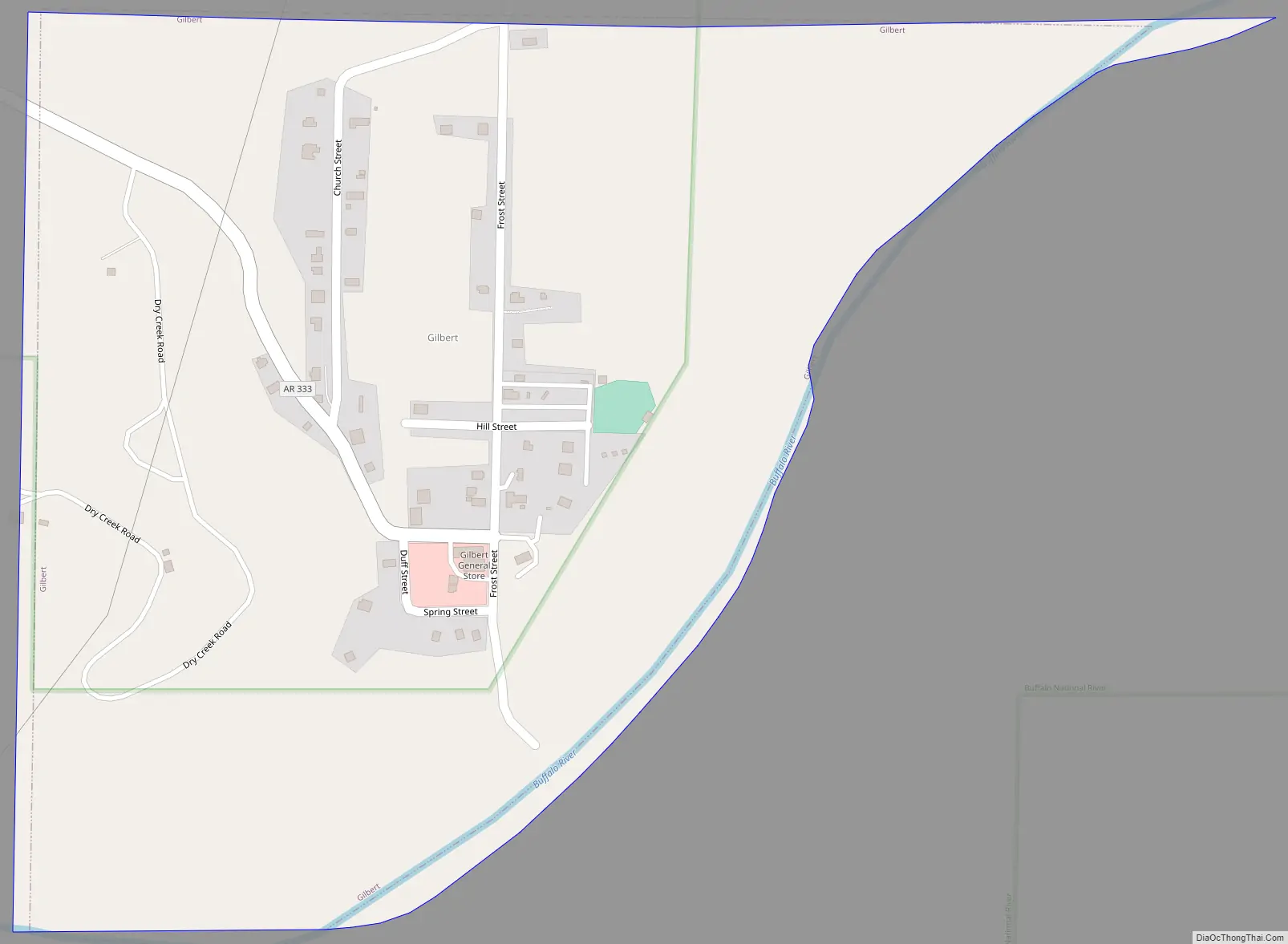
| County: | Searcy County |
| Elevation: | 630 ft (190 m) |
| Total Area: | 0.39 sq mi (1.00 km²) |
| Land Area: | 0.37 sq mi (0.95 km²) |
| Water Area: | 0.02 sq mi (0.05 km²) |
| Total Population: | 26 |
| Population Density: | 70.84/sq mi (27.36/km²) |
| ZIP code: | 72636 |
| Area code: | 870 |
| FIPS code: | 0526800 |
| GNISfeature ID: | 2406567 |
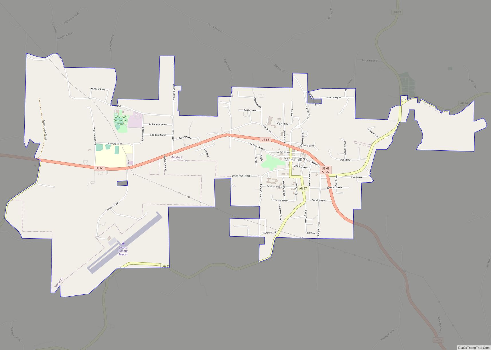
Online Interactive Map
Click on ![]() to view map in "full screen" mode.
to view map in "full screen" mode.
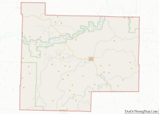
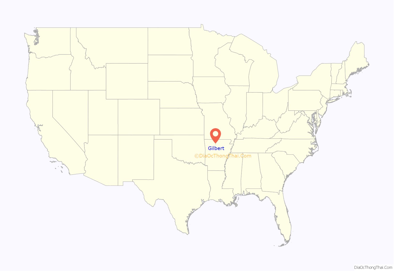
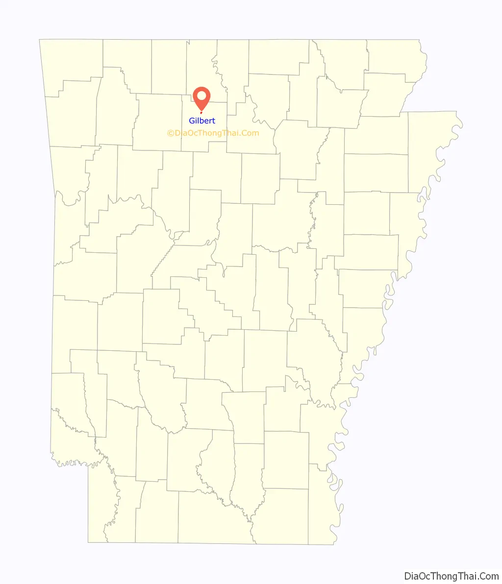
Gilbert location map. Where is Gilbert town?
History
The Gilbert community was founded in 1902 when a railroad construction camp for the Missouri and North Arkansas (M&NA) Railroad was built and named in honor of Charles W. Gilbert, secretary-treasurer of Allegheny Supply Company, which was building the railroad. The M&NA began at Seligman, Missouri and rambled for 303 tortuous miles to Helena, Arkansas on the Mississippi River. In 1906, William Mays moved his store and post office to Gilbert. The Gilbert General Store, is listed on the National Register of Historic Places under the name Mays Store.
During the early 1920s, Reverend John Battenfield and his followers migrated into Gilbert and aspired to create a self-sufficient community to survive the return of the Messiah. They built a church and erected a sturdy building of smooth brown stones that was the print shop for their weekly newspaper, the Kingdom Harbinger. Gilbert Cemetery, for those who didn’t make it for the anticipated Rapture, was founded in 1920 at the top of the hill on Frost Street. Gilbert School District Eighty-eight was formed in 1921. Eli Jordan donated the land for a school, the residents donated money for lumber and materials, anyone with a team and wagon hauled in the lumber, and the men of Gilbert built the school. As the town grew, it boasted four stores, two hotels, an Eagle Pencil Company mill, several sawmills and three doctors. 1923 passed without the appearance of the Messiah, and in 1925 Reverend Battenfield and his family left Gilbert to look for another location.
In the 1930s Gilbert had 116 people, its highest ever population count.
Gilbert remained a hub for commerce for several years. Cotton, logs, ore and grain came by rail. By the 1940s, unsustainable logging practices led to a decline in logging activity. The railroad suffered. The railroad tracks were soon removed and sold as scrap. Concrete pylons stand as evidence of the railroad.
In 2022 the community phased out its use of traditional street lights for light-emitting diode (LED) lights using high-pressure sodium. This is an anti-light pollution measure.
Gilbert Road Map
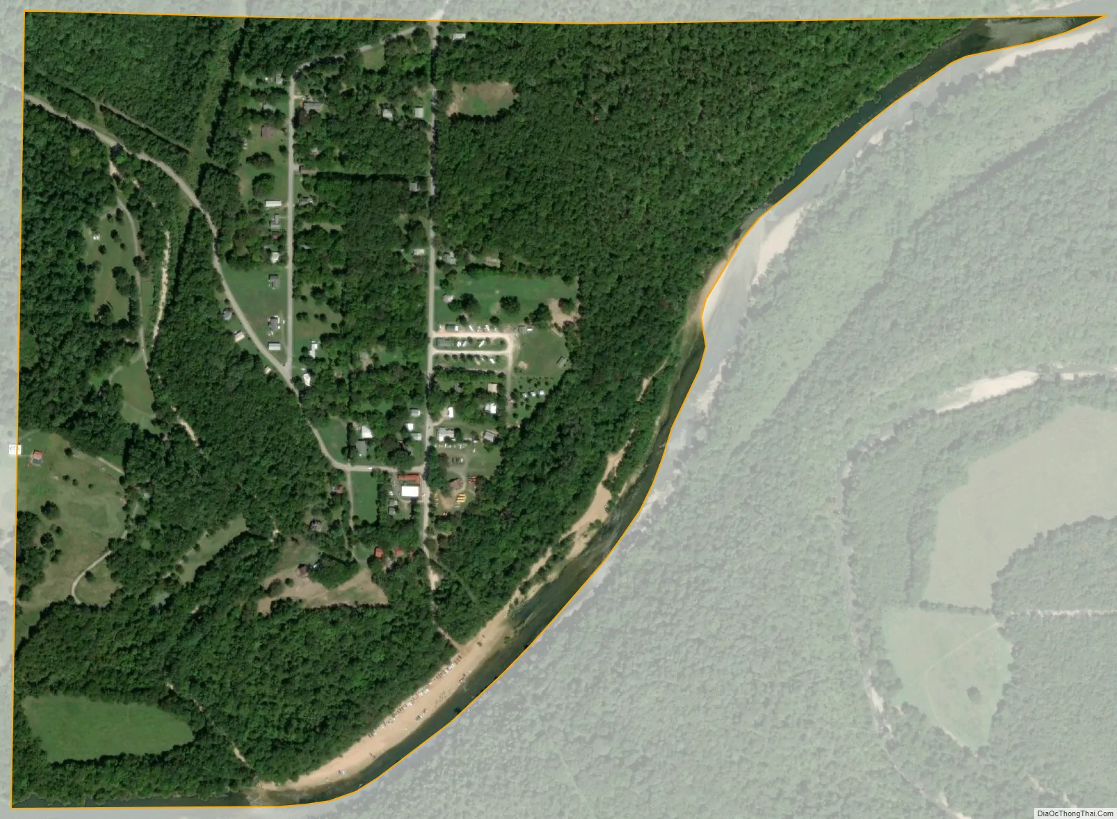
Gilbert city Satellite Map
Geography
According to the United States Census Bureau, the town has a total area of 0.8 km (0.3 mi).
Major highways
- Highway 333
See also
Map of Arkansas State and its subdivision:- Arkansas
- Ashley
- Baxter
- Benton
- Boone
- Bradley
- Calhoun
- Carroll
- Chicot
- Clark
- Clay
- Cleburne
- Cleveland
- Columbia
- Conway
- Craighead
- Crawford
- Crittenden
- Cross
- Dallas
- Desha
- Drew
- Faulkner
- Franklin
- Fulton
- Garland
- Grant
- Greene
- Hempstead
- Hot Spring
- Howard
- Independence
- Izard
- Jackson
- Jefferson
- Johnson
- Lafayette
- Lawrence
- Lee
- Lincoln
- Little River
- Logan
- Lonoke
- Madison
- Marion
- Miller
- Mississippi
- Monroe
- Montgomery
- Nevada
- Newton
- Ouachita
- Perry
- Phillips
- Pike
- Poinsett
- Polk
- Pope
- Prairie
- Pulaski
- Randolph
- Saint Francis
- Saline
- Scott
- Searcy
- Sebastian
- Sevier
- Sharp
- Stone
- Union
- Van Buren
- Washington
- White
- Woodruff
- Yell
- Alabama
- Alaska
- Arizona
- Arkansas
- California
- Colorado
- Connecticut
- Delaware
- District of Columbia
- Florida
- Georgia
- Hawaii
- Idaho
- Illinois
- Indiana
- Iowa
- Kansas
- Kentucky
- Louisiana
- Maine
- Maryland
- Massachusetts
- Michigan
- Minnesota
- Mississippi
- Missouri
- Montana
- Nebraska
- Nevada
- New Hampshire
- New Jersey
- New Mexico
- New York
- North Carolina
- North Dakota
- Ohio
- Oklahoma
- Oregon
- Pennsylvania
- Rhode Island
- South Carolina
- South Dakota
- Tennessee
- Texas
- Utah
- Vermont
- Virginia
- Washington
- West Virginia
- Wisconsin
- Wyoming