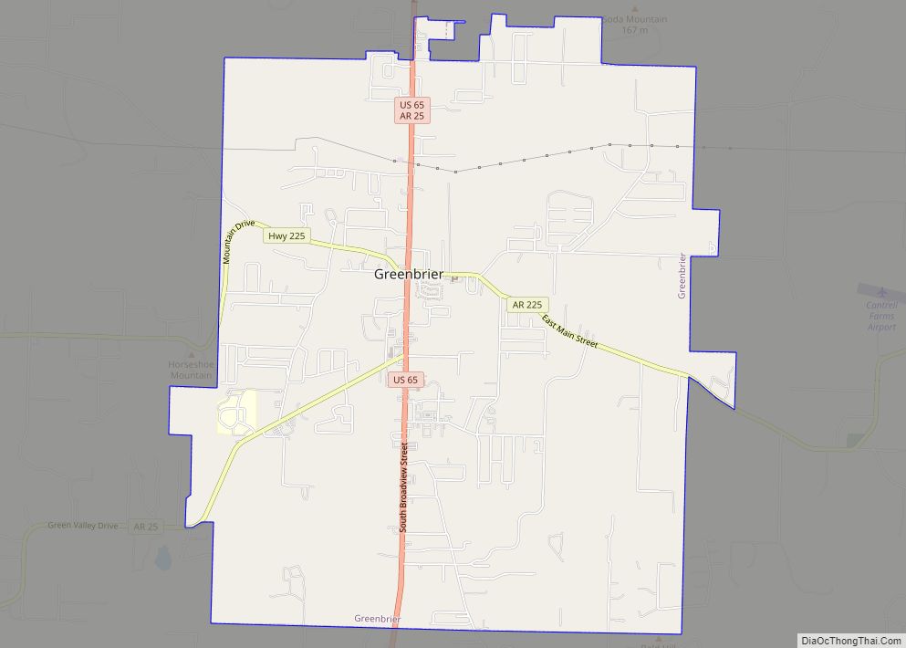
Greenbrier is a city in Faulkner County, Arkansas, United States. It is part of the Little Rock–North Little Rock–Conway Metropolitan Statistical Area. The population was 5,707 at the 2020 census, up from 4,706 at the 2010 census.
| Name: | Greenbrier city |
|---|---|
| LSAD Code: | 25 |
| LSAD Description: | city (suffix) |
| State: | Arkansas |
| County: | Faulkner County |
| Elevation: | 358 ft (109 m) |
| Total Area: | 7.93 sq mi (20.55 km²) |
| Land Area: | 7.93 sq mi (20.55 km²) |
| Water Area: | 0.00 sq mi (0.00 km²) |
| Total Population: | 5,707 |
| Population Density: | 719.22/sq mi (277.67/km²) |
| ZIP code: | 72058 |
| Area code: | 501 |
| FIPS code: | 0528510 |
| GNISfeature ID: | 2403740 |
| Website: | cityofgreenbrierar.com |
Online Interactive Map
Click on ![]() to view map in "full screen" mode.
to view map in "full screen" mode.
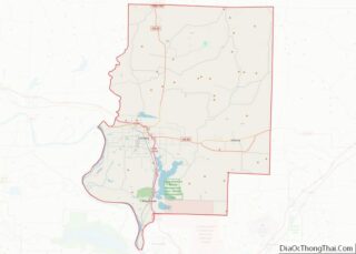
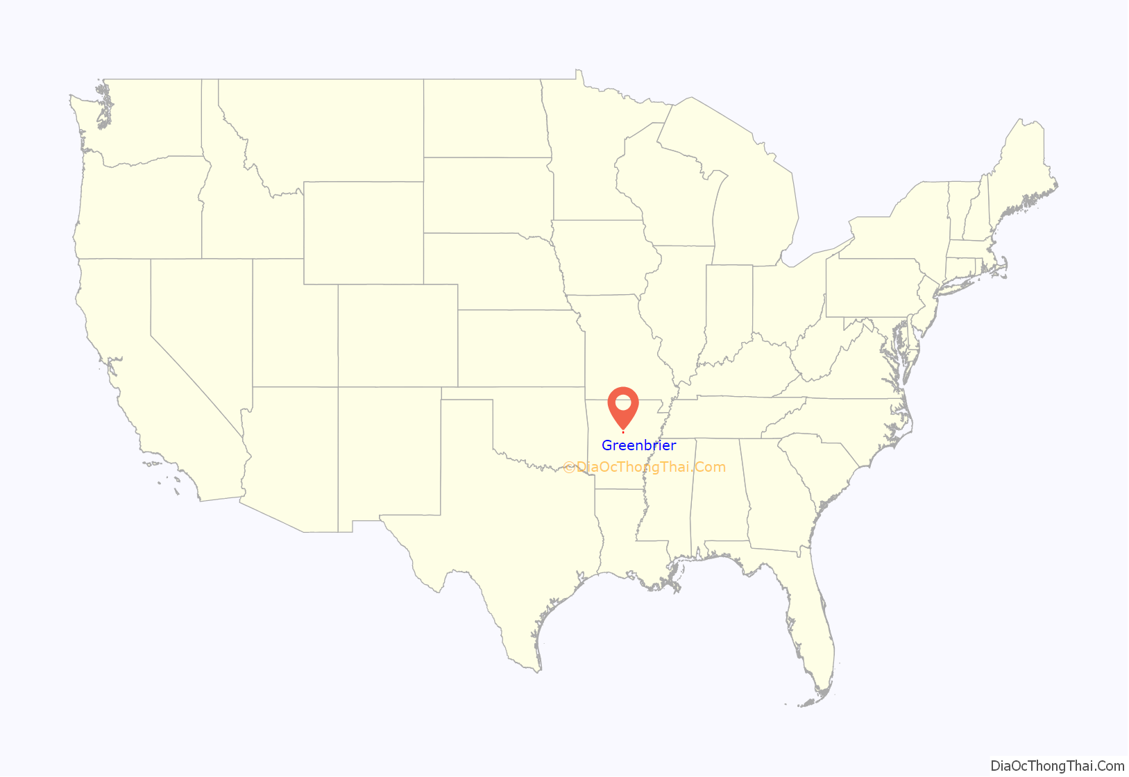
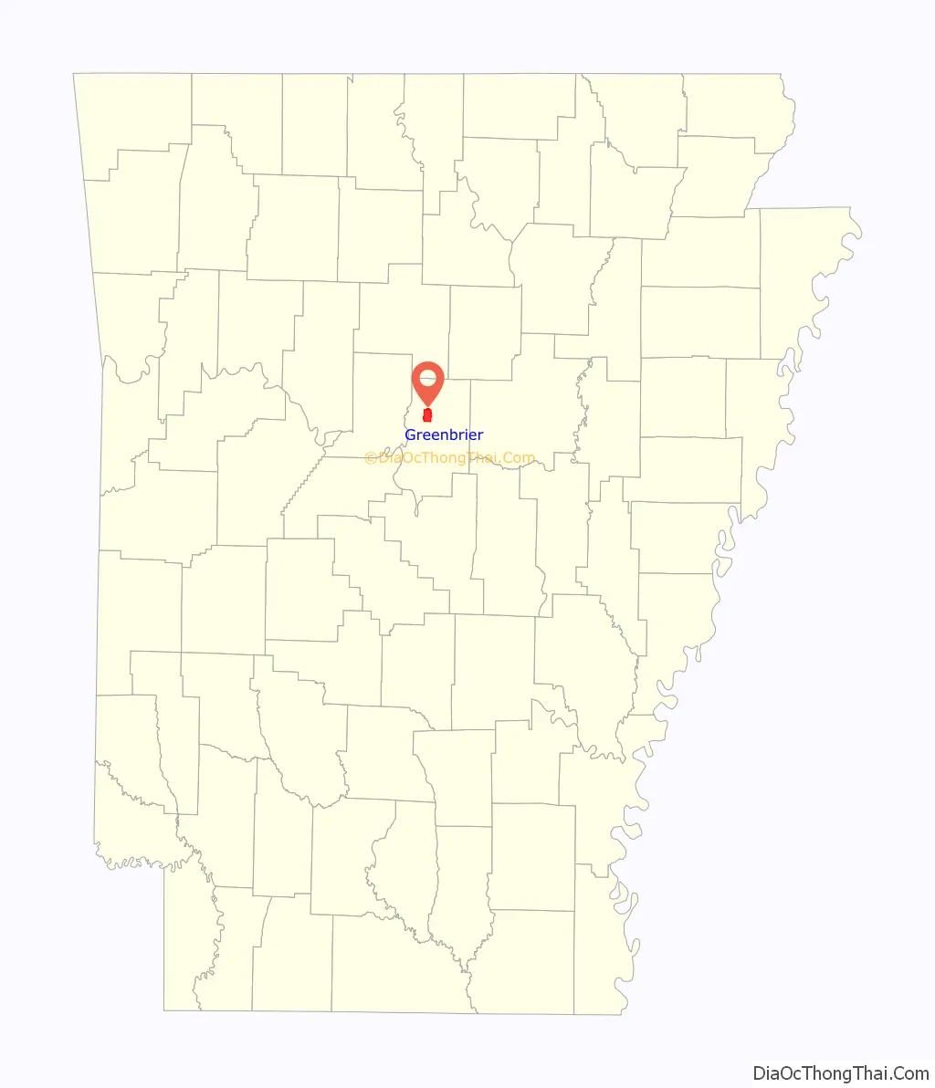
Greenbrier location map. Where is Greenbrier city?
History
Prior to European settlement, Native American tribes, including the Quapaw and later the Cherokee, lived in the area. Several historical figures of the Wild West such as Jim Bowie and Jesse James passed through the Greenbrier region toward Oklahoma and Texas. The Wiley brothers settled near East Fork Cadron around 1818, about 8 miles (13 km) east of today’s Greenbrier. In 1837, Jonathan Hardin settled near the Wiley settlement. Also in the early 19th century, the Casharagos settled north of Greenbrier in the present community of Republican.
Greenbrier is a town that developed from a minor brothel on the Butterfield Stagecoach route into a bustling city. The town was named for the greenbriar vines which grew along the creek through the town. Greenbrier is located 12 miles (19 km) north of Conway on Highway 65. Recent years have seen continued growth as Greenbrier becomes a bedroom community for Conway. As early as 1818 settlers were in the vicinity of what is now Greenbrier. Mooresville was given as the name for this fast growing community. It was later changed to Greenbrier when the first post office was established on September 15, 1857. Henderson Moore was the first postmaster.
Greenbrier was incorporated as a town on April 5, 1880, with an estimated population of 300 people. Hardin Township at this time had 886 people and Cadron Township had 2,916 people. In 1905 Greenbrier could boast of eight general stores, three grist mills, four cotton gins, a steam sawmill and a shingle mill, three churches, a six-room school building, and 350 people.
There was a period of uncertainty from 1920 to 1940. Floods, droughts, and the Great Depression of 1930-1935 plagued Greenbrier and the social and cultural atmosphere displayed the feelings of uncertainty and dismay. As adjustments were made to the natural physical setbacks, there emerged a conservative type of culture. Some businesses closed permanently, others changed hands several times. Only a few stayed in business the entire period from 1920 to 1940. After 1935 the New Deal ushered in activities that provided employment which gave a new spurt of life.
The next two decades saw a reprieve from the earlier stagnation and people were again motivated to make Greenbrier into a thriving village. The relocation of U.S. Highway 65 through Greenbrier in 1942 gave a real boost to the town. Following the drought of 1950, a rapid movement from cotton to dairy and livestock farming was observed. The income from the average farm tripled.
On September 9, 1949, the townspeople elected Hugh Henry as mayor; P.B. Matthews, recorder; Joe Castleberry, treasurer; and these five aldermen: Div Williams, W.A. Dillaha, Marvin Cantrell, S.C. Case and C.R. Denton. J.A. Dickens was elected marshal. Mayors since 1949 have been: Royce Williams, Howard Lawrence, Percy Matthews (acting due to the resignation of Howard Lawrence), Cecil Garrett, Eddie Garrett (no relation), and D.P. (Press) Kelso.
The population in the incorporated area in 1980 was 1,423.
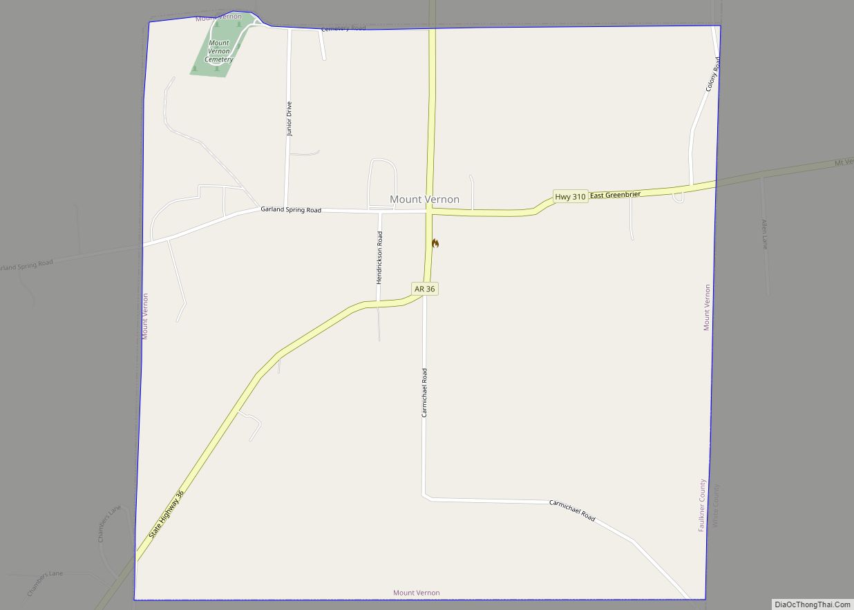
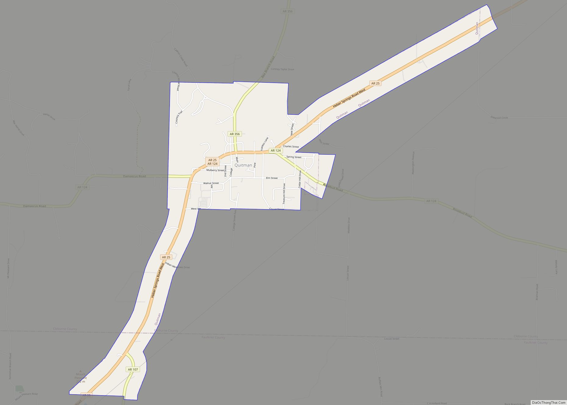
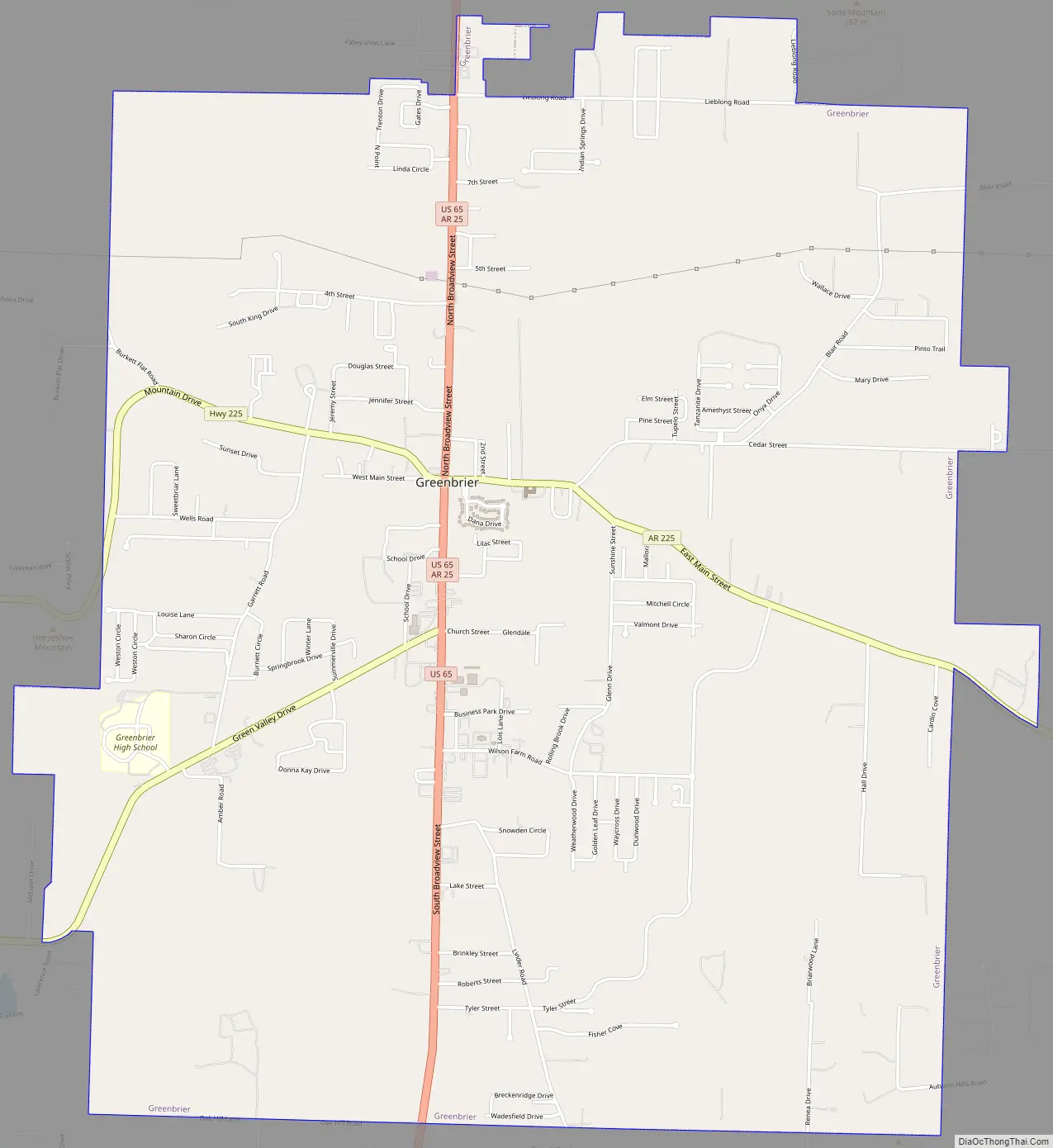
Greenbrier Road Map
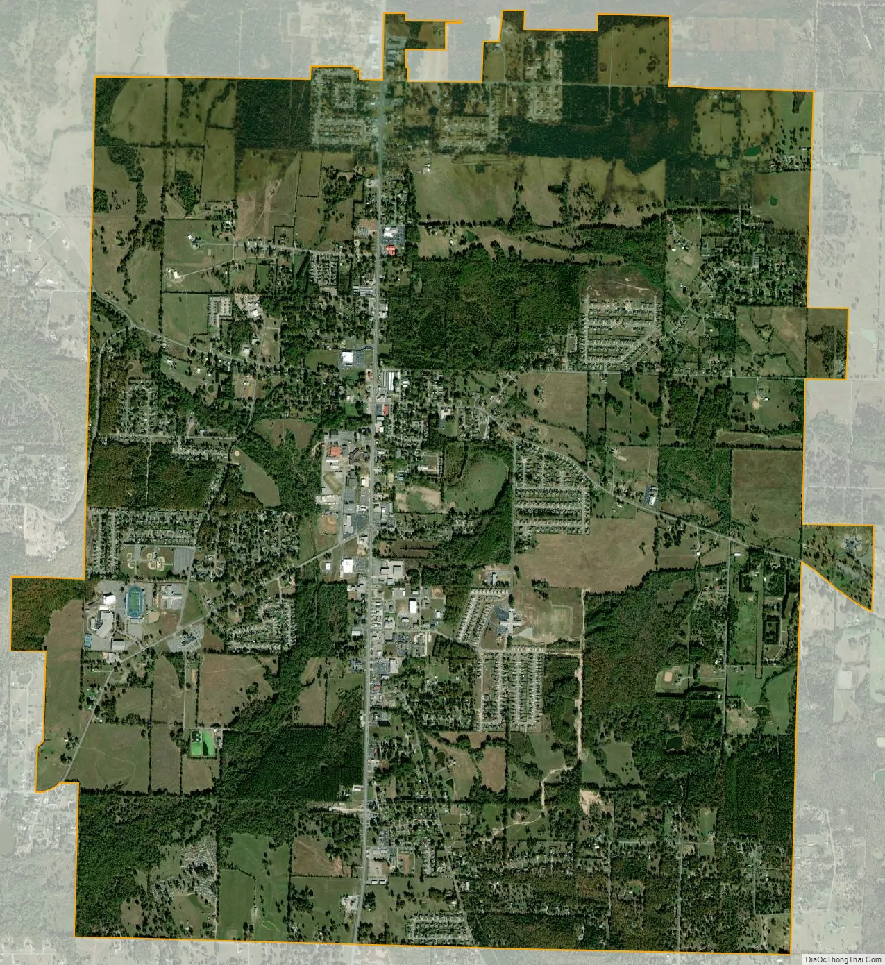
Greenbrier city Satellite Map
Geography
Greenbrier is located in northwestern Faulkner County at 35°13′46″N 92°23′21″W / 35.22944°N 92.38917°W / 35.22944; -92.38917 (35.229444, -92.389052).
According to the United States Census Bureau, the city has a total area of 7.9 square miles (20.5 km), all land.
See also
Map of Arkansas State and its subdivision:- Arkansas
- Ashley
- Baxter
- Benton
- Boone
- Bradley
- Calhoun
- Carroll
- Chicot
- Clark
- Clay
- Cleburne
- Cleveland
- Columbia
- Conway
- Craighead
- Crawford
- Crittenden
- Cross
- Dallas
- Desha
- Drew
- Faulkner
- Franklin
- Fulton
- Garland
- Grant
- Greene
- Hempstead
- Hot Spring
- Howard
- Independence
- Izard
- Jackson
- Jefferson
- Johnson
- Lafayette
- Lawrence
- Lee
- Lincoln
- Little River
- Logan
- Lonoke
- Madison
- Marion
- Miller
- Mississippi
- Monroe
- Montgomery
- Nevada
- Newton
- Ouachita
- Perry
- Phillips
- Pike
- Poinsett
- Polk
- Pope
- Prairie
- Pulaski
- Randolph
- Saint Francis
- Saline
- Scott
- Searcy
- Sebastian
- Sevier
- Sharp
- Stone
- Union
- Van Buren
- Washington
- White
- Woodruff
- Yell
- Alabama
- Alaska
- Arizona
- Arkansas
- California
- Colorado
- Connecticut
- Delaware
- District of Columbia
- Florida
- Georgia
- Hawaii
- Idaho
- Illinois
- Indiana
- Iowa
- Kansas
- Kentucky
- Louisiana
- Maine
- Maryland
- Massachusetts
- Michigan
- Minnesota
- Mississippi
- Missouri
- Montana
- Nebraska
- Nevada
- New Hampshire
- New Jersey
- New Mexico
- New York
- North Carolina
- North Dakota
- Ohio
- Oklahoma
- Oregon
- Pennsylvania
- Rhode Island
- South Carolina
- South Dakota
- Tennessee
- Texas
- Utah
- Vermont
- Virginia
- Washington
- West Virginia
- Wisconsin
- Wyoming