Hartford is a city in Sebastian County, Arkansas, United States. It is part of the Fort Smith, Arkansas–Oklahoma Metropolitan Statistical Area. The population was 642 at the 2010 census.
Clergyman James T. Draper, Jr., president of the Southern Baptist Convention from 1982 to 1984, was born in Hartford in 1935, where his father, James Draper, Sr., was a pastor.
| Name: | Hartford city |
|---|---|
| LSAD Code: | 25 |
| LSAD Description: | city (suffix) |
| State: | Arkansas |
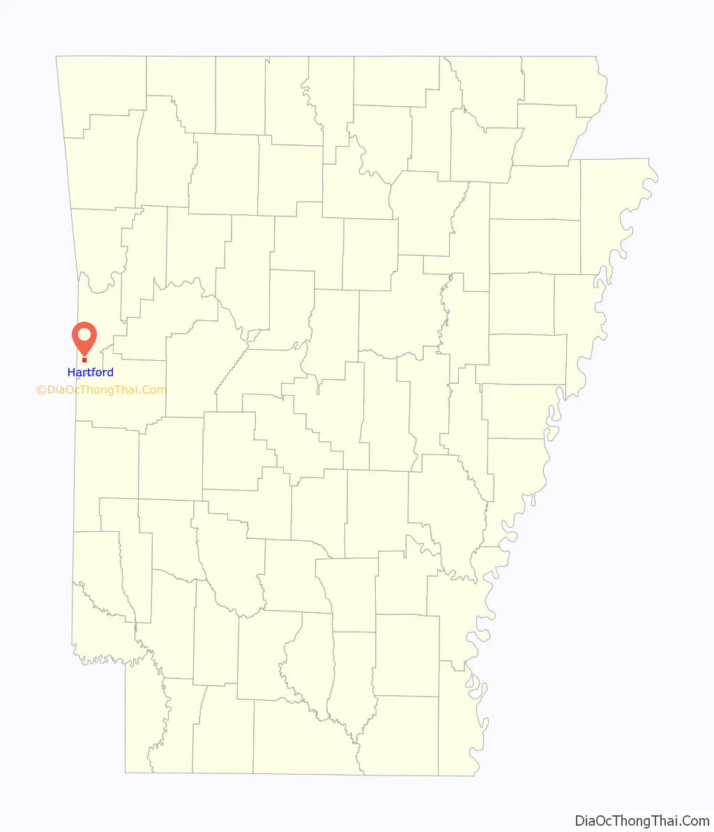
| County: | Sebastian County |
| Elevation: | 653 ft (199 m) |
| Total Area: | 1.89 sq mi (4.90 km²) |
| Land Area: | 1.88 sq mi (4.88 km²) |
| Water Area: | 0.01 sq mi (0.02 km²) |
| Total Population: | 499 |
| Population Density: | 264.86/sq mi (102.26/km²) |
| ZIP code: | 72938 |
| Area code: | 479 |
| FIPS code: | 0530490 |
| GNISfeature ID: | 0077137 |
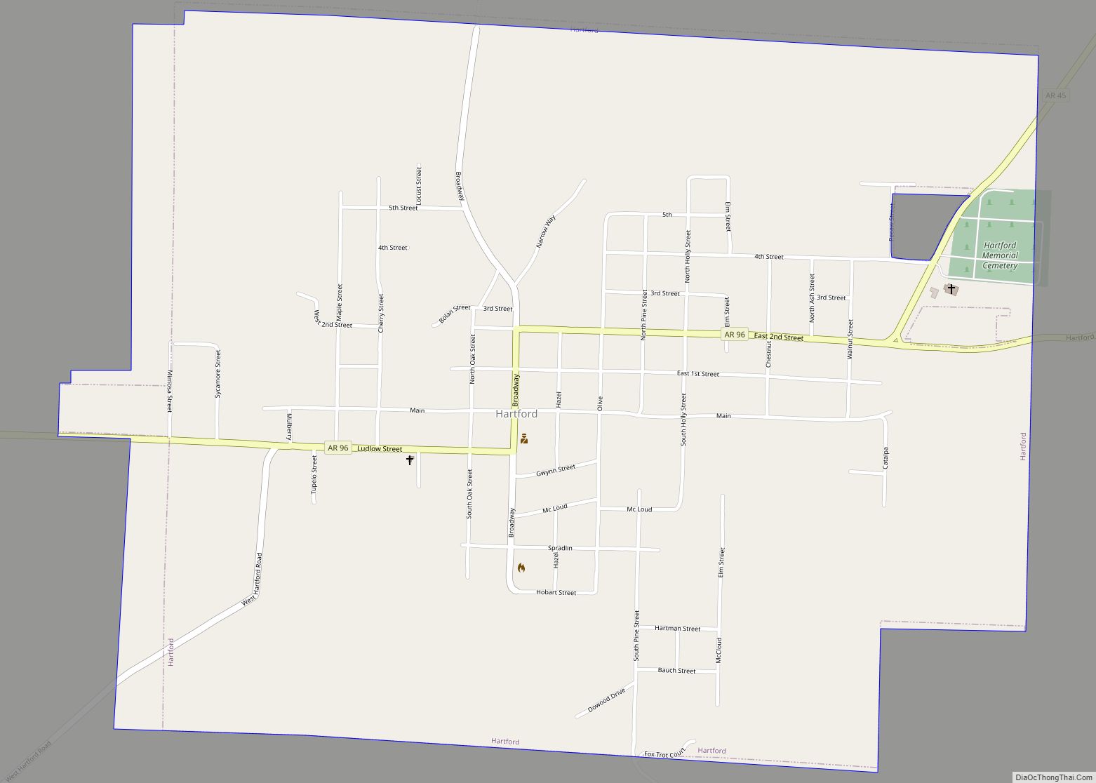
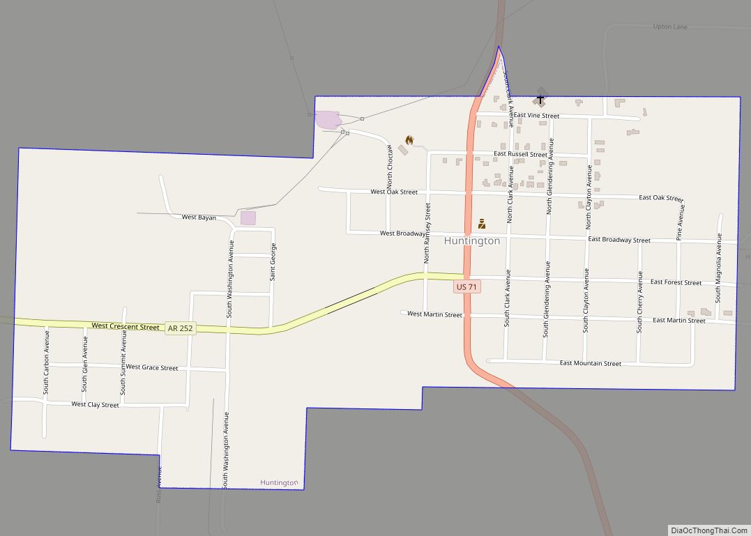
Online Interactive Map
Click on ![]() to view map in "full screen" mode.
to view map in "full screen" mode.
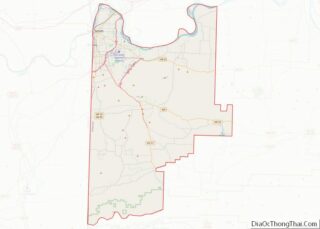
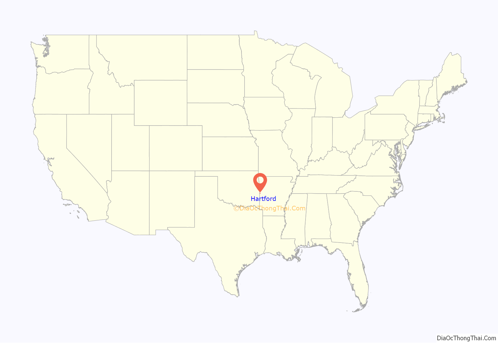
Hartford location map. Where is Hartford city?
History
The town of Hartford was first called Gwynn when it was originally settled. Prior to 1900, the town saw the arrival of the Rock Island Railroad, and the town’s name was changed to Hartford. Hartford was incorporated in 1900 and as a result, the old original town of Hartford, about one and a half miles west and named for a creek crossing belonging to the Hart family, is now generally referred to as “Old Town” or “West Hartford”. According to Goodspeed’s “History of Arkansas”, William J. Fleming and William Stevenson opened the first store in West Hartford. By 1891 there were several businesses, a public school, and a Union Church edifice used respectively by Methodists, Baptists, and Cumberland Presbyterians.
The town of Hartford was incorporated February 28, 1900.
On 2 April 1912, Hartford elected a miner, Peter Stewart, as mayor. He was the first socialist mayor elected in Arkansas.
A labor conflict known the Hartford coal mine riot occurred in and around the town on 12 July 1914.
During the early half of the 20th century, the town was home to the Hartford Music Company, which published Gospel music and operated a singing school. The city was also home to significant mining activity, which has returned to a limited extent. Most farm owners have oil or gas pumps in farmland across the town.
The town has views of both Sugarloaf and Poteau mountains. Very close to the Oklahoma border, Hartford is a mixture of a quaint country town and a new modern touch. Hartford is the home of the last working coal mine in the state of Arkansas.
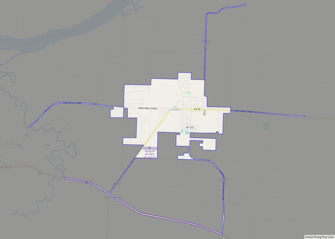
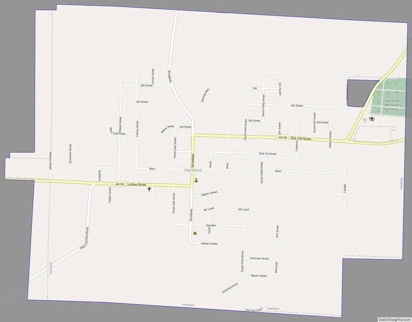
Hartford Road Map
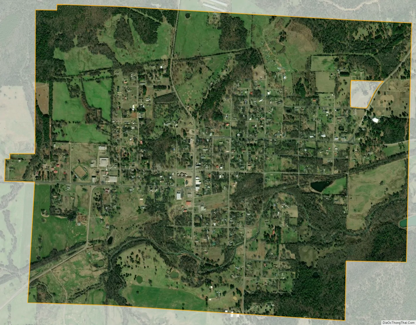
Hartford city Satellite Map
Geography
Hartford is located at 35°1′24″N 94°22′42″W / 35.02333°N 94.37833°W / 35.02333; -94.37833 (35.023358, -94.378398).
According to the United States Census Bureau, the city has a total area of 1.8 square miles (4.7 km), all land.
See also
Map of Arkansas State and its subdivision:- Arkansas
- Ashley
- Baxter
- Benton
- Boone
- Bradley
- Calhoun
- Carroll
- Chicot
- Clark
- Clay
- Cleburne
- Cleveland
- Columbia
- Conway
- Craighead
- Crawford
- Crittenden
- Cross
- Dallas
- Desha
- Drew
- Faulkner
- Franklin
- Fulton
- Garland
- Grant
- Greene
- Hempstead
- Hot Spring
- Howard
- Independence
- Izard
- Jackson
- Jefferson
- Johnson
- Lafayette
- Lawrence
- Lee
- Lincoln
- Little River
- Logan
- Lonoke
- Madison
- Marion
- Miller
- Mississippi
- Monroe
- Montgomery
- Nevada
- Newton
- Ouachita
- Perry
- Phillips
- Pike
- Poinsett
- Polk
- Pope
- Prairie
- Pulaski
- Randolph
- Saint Francis
- Saline
- Scott
- Searcy
- Sebastian
- Sevier
- Sharp
- Stone
- Union
- Van Buren
- Washington
- White
- Woodruff
- Yell
- Alabama
- Alaska
- Arizona
- Arkansas
- California
- Colorado
- Connecticut
- Delaware
- District of Columbia
- Florida
- Georgia
- Hawaii
- Idaho
- Illinois
- Indiana
- Iowa
- Kansas
- Kentucky
- Louisiana
- Maine
- Maryland
- Massachusetts
- Michigan
- Minnesota
- Mississippi
- Missouri
- Montana
- Nebraska
- Nevada
- New Hampshire
- New Jersey
- New Mexico
- New York
- North Carolina
- North Dakota
- Ohio
- Oklahoma
- Oregon
- Pennsylvania
- Rhode Island
- South Carolina
- South Dakota
- Tennessee
- Texas
- Utah
- Vermont
- Virginia
- Washington
- West Virginia
- Wisconsin
- Wyoming