Huntington is a city in Sebastian County, Arkansas, United States. It is part of the Fort Smith, Arkansas–Oklahoma Metropolitan Statistical Area. As of the 2010 Census the population was 635.
| Name: | Huntington city |
|---|---|
| LSAD Code: | 25 |
| LSAD Description: | city (suffix) |
| State: | Arkansas |
| County: | Sebastian County |
| Elevation: | 636 ft (194 m) |
| Total Area: | 0.68 sq mi (1.75 km²) |
| Land Area: | 0.67 sq mi (1.74 km²) |
| Water Area: | 0.00 sq mi (0.00 km²) |
| Total Population: | 490 |
| Population Density: | 727.00/sq mi (280.86/km²) |
| ZIP code: | 72940 |
| Area code: | 479 |
| FIPS code: | 0533940 |
| GNISfeature ID: | 0050422 |
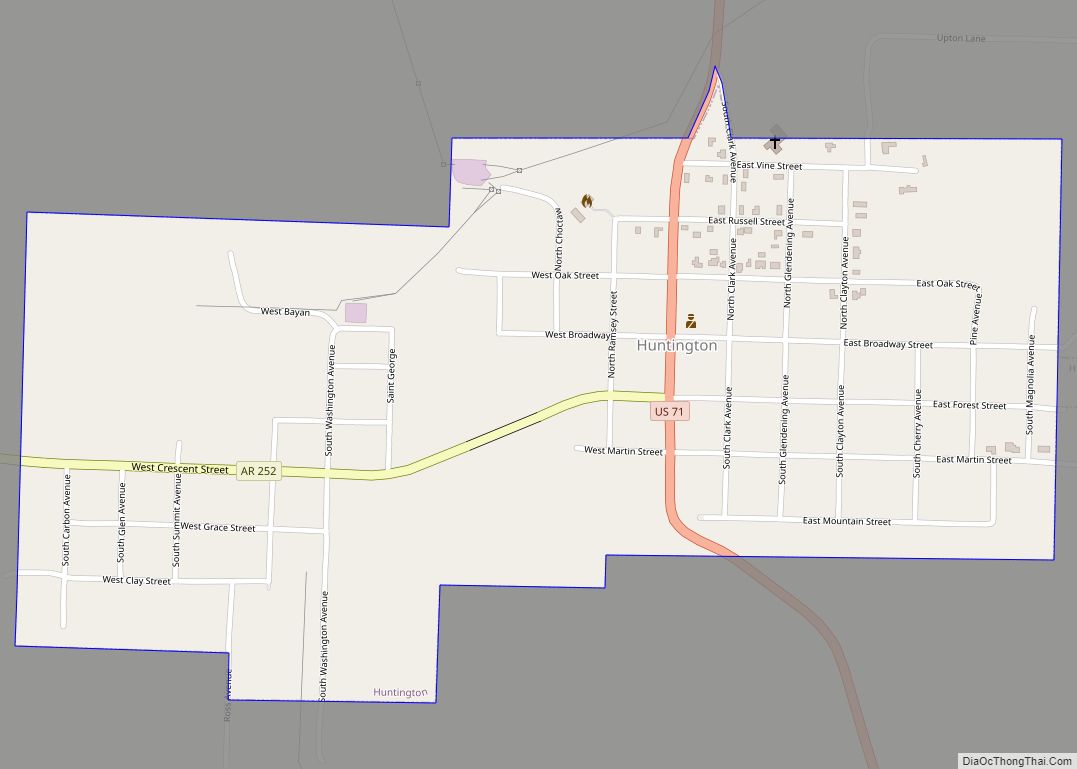
Online Interactive Map
Click on ![]() to view map in "full screen" mode.
to view map in "full screen" mode.
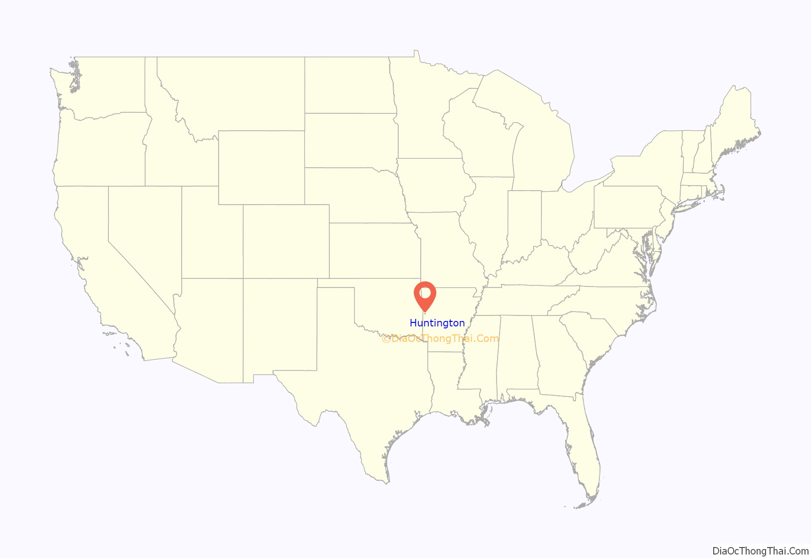
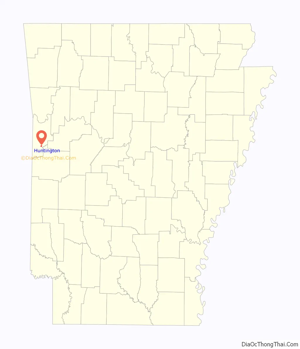
Huntington location map. Where is Huntington city?
History
Huntington began as a coal mining town. In 1887, The Missouri, Kansas, & Texas Coal Company surveyed the site and selected it as a townsite because coal was around the site, but not directly beneath it. The town was incorporated on February 4, 1888. The town was named after J. B. Huntington, a well-liked mine superintendent, who died after his horse jumped from a bridge over Cherokee Creek.
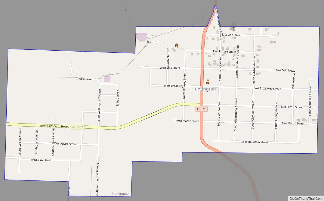
Huntington Road Map
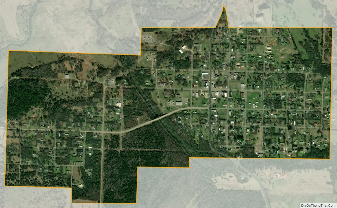
Huntington city Satellite Map
Geography
Huntington is located at 35°4′51″N 94°15′52″W / 35.08083°N 94.26444°W / 35.08083; -94.26444 (35.080833, -94.264462).
According to the United States Census Bureau, the city has a total area of 0.7 square miles (1.8 km), all land.
See also
Map of Arkansas State and its subdivision:- Arkansas
- Ashley
- Baxter
- Benton
- Boone
- Bradley
- Calhoun
- Carroll
- Chicot
- Clark
- Clay
- Cleburne
- Cleveland
- Columbia
- Conway
- Craighead
- Crawford
- Crittenden
- Cross
- Dallas
- Desha
- Drew
- Faulkner
- Franklin
- Fulton
- Garland
- Grant
- Greene
- Hempstead
- Hot Spring
- Howard
- Independence
- Izard
- Jackson
- Jefferson
- Johnson
- Lafayette
- Lawrence
- Lee
- Lincoln
- Little River
- Logan
- Lonoke
- Madison
- Marion
- Miller
- Mississippi
- Monroe
- Montgomery
- Nevada
- Newton
- Ouachita
- Perry
- Phillips
- Pike
- Poinsett
- Polk
- Pope
- Prairie
- Pulaski
- Randolph
- Saint Francis
- Saline
- Scott
- Searcy
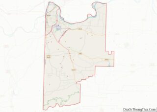
- Sebastian
- Sevier
- Sharp
- Stone
- Union
- Van Buren
- Washington
- White
- Woodruff
- Yell
- Alabama
- Alaska
- Arizona
- Arkansas
- California
- Colorado
- Connecticut
- Delaware
- District of Columbia
- Florida
- Georgia
- Hawaii
- Idaho
- Illinois
- Indiana
- Iowa
- Kansas
- Kentucky
- Louisiana
- Maine
- Maryland
- Massachusetts
- Michigan
- Minnesota
- Mississippi
- Missouri
- Montana
- Nebraska
- Nevada
- New Hampshire
- New Jersey
- New Mexico
- New York
- North Carolina
- North Dakota
- Ohio
- Oklahoma
- Oregon
- Pennsylvania
- Rhode Island
- South Carolina
- South Dakota
- Tennessee
- Texas
- Utah
- Vermont
- Virginia
- Washington
- West Virginia
- Wisconsin
- Wyoming