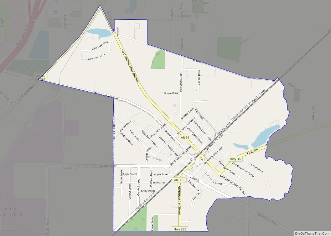
Kensett is a city in White County, Arkansas, United States. Located adjacent to the east side of Searcy, the city is the hometown of noted legislator Wilbur D. Mills, who was influential throughout the 1960s and 1970s in the United States House of Representatives.
Allen Edge is the current mayor. The population was 1,648 at the 2010 census. Many companies have moved to Kensett to support the natural gas industry. Kensett is a center for landscaping and nursery activity. Double Springs sod farm is located in or near Kensett. There are several restaurants, and Kensett has the lowest sales tax rate in White County.
| Name: | Kensett city |
|---|---|
| LSAD Code: | 25 |
| LSAD Description: | city (suffix) |
| State: | Arkansas |
| County: | White County |
| Elevation: | 223 ft (68 m) |
| Total Area: | 1.88 sq mi (4.87 km²) |
| Land Area: | 1.87 sq mi (4.83 km²) |
| Water Area: | 0.01 sq mi (0.03 km²) |
| Total Population: | 1,400 |
| Population Density: | 750.27/sq mi (289.75/km²) |
| ZIP code: | 72082 |
| Area code: | 501 |
| FIPS code: | 0536430 |
| GNISfeature ID: | 0081873 |
| Website: | cityofkensett.com |
Online Interactive Map
Click on ![]() to view map in "full screen" mode.
to view map in "full screen" mode.
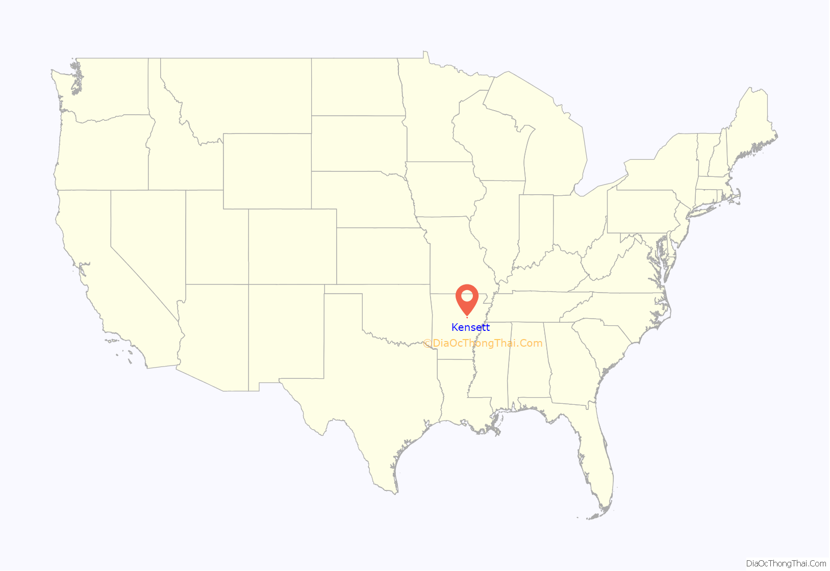
Kensett location map. Where is Kensett city?
Kensett Road Map
Kensett city Satellite Map
Geography
Kensett is located at 35°13′58″N 91°40′13″W / 35.23278°N 91.67028°W / 35.23278; -91.67028 (35.232687, -91.670194).
According to the United States Census Bureau, the city has a total area of 1.8 square miles (4.7 km), of which 1.8 square miles (4.7 km) is land and 0.56% is water. The city is bounded on its east by Black Creek, a tributary of the Little Red River that lies farther northeast and east.
See also
Map of Arkansas State and its subdivision:- Arkansas
- Ashley
- Baxter
- Benton
- Boone
- Bradley
- Calhoun
- Carroll
- Chicot
- Clark
- Clay
- Cleburne
- Cleveland
- Columbia
- Conway
- Craighead
- Crawford
- Crittenden
- Cross
- Dallas
- Desha
- Drew
- Faulkner
- Franklin
- Fulton
- Garland
- Grant
- Greene
- Hempstead
- Hot Spring
- Howard
- Independence
- Izard
- Jackson
- Jefferson
- Johnson
- Lafayette
- Lawrence
- Lee
- Lincoln
- Little River
- Logan
- Lonoke
- Madison
- Marion
- Miller
- Mississippi
- Monroe
- Montgomery
- Nevada
- Newton
- Ouachita
- Perry
- Phillips
- Pike
- Poinsett
- Polk
- Pope
- Prairie
- Pulaski
- Randolph
- Saint Francis
- Saline
- Scott
- Searcy
- Sebastian
- Sevier
- Sharp
- Stone
- Union
- Van Buren
- Washington
- White
- Woodruff
- Yell
- Alabama
- Alaska
- Arizona
- Arkansas
- California
- Colorado
- Connecticut
- Delaware
- District of Columbia
- Florida
- Georgia
- Hawaii
- Idaho
- Illinois
- Indiana
- Iowa
- Kansas
- Kentucky
- Louisiana
- Maine
- Maryland
- Massachusetts
- Michigan
- Minnesota
- Mississippi
- Missouri
- Montana
- Nebraska
- Nevada
- New Hampshire
- New Jersey
- New Mexico
- New York
- North Carolina
- North Dakota
- Ohio
- Oklahoma
- Oregon
- Pennsylvania
- Rhode Island
- South Carolina
- South Dakota
- Tennessee
- Texas
- Utah
- Vermont
- Virginia
- Washington
- West Virginia
- Wisconsin
- Wyoming
