Kingsland is a town in Cleveland County, south central Arkansas, United States. It is included in the Pine Bluff, Arkansas Metropolitan Statistical Area, and had a population of 447 at the 2010 U.S. census. It is known as the birthplace of musician Johnny Cash. His parents had a cotton farm there.
| Name: | Kingsland city |
|---|---|
| LSAD Code: | 25 |
| LSAD Description: | city (suffix) |
| State: | Arkansas |
| County: | Cleveland County |
| Elevation: | 217 ft (66 m) |
| Total Area: | 1.12 sq mi (2.91 km²) |
| Land Area: | 1.12 sq mi (2.91 km²) |
| Water Area: | 0.00 sq mi (0.00 km²) |
| Total Population: | 347 |
| Population Density: | 309.27/sq mi (119.38/km²) |
| ZIP code: | 71652 |
| Area code: | 870 |
| FIPS code: | 0536880 |
| GNISfeature ID: | 0050871 |
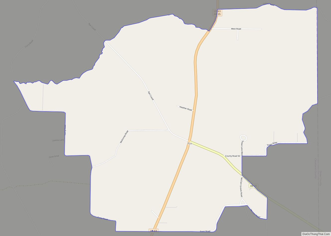
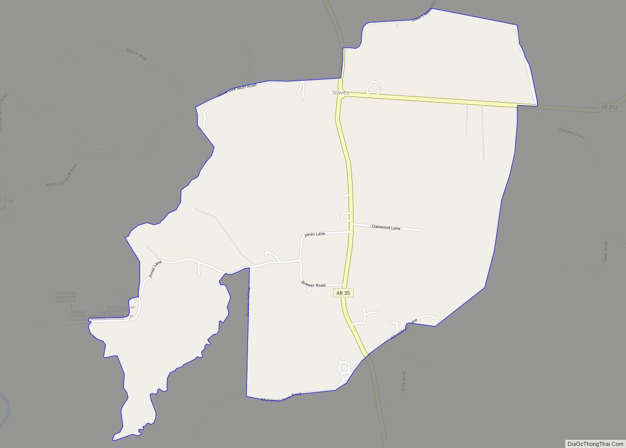
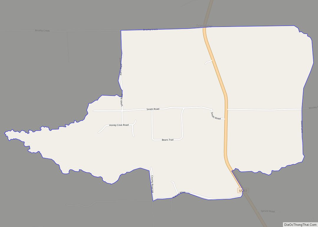
Online Interactive Map
Click on ![]() to view map in "full screen" mode.
to view map in "full screen" mode.
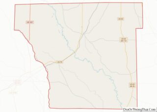
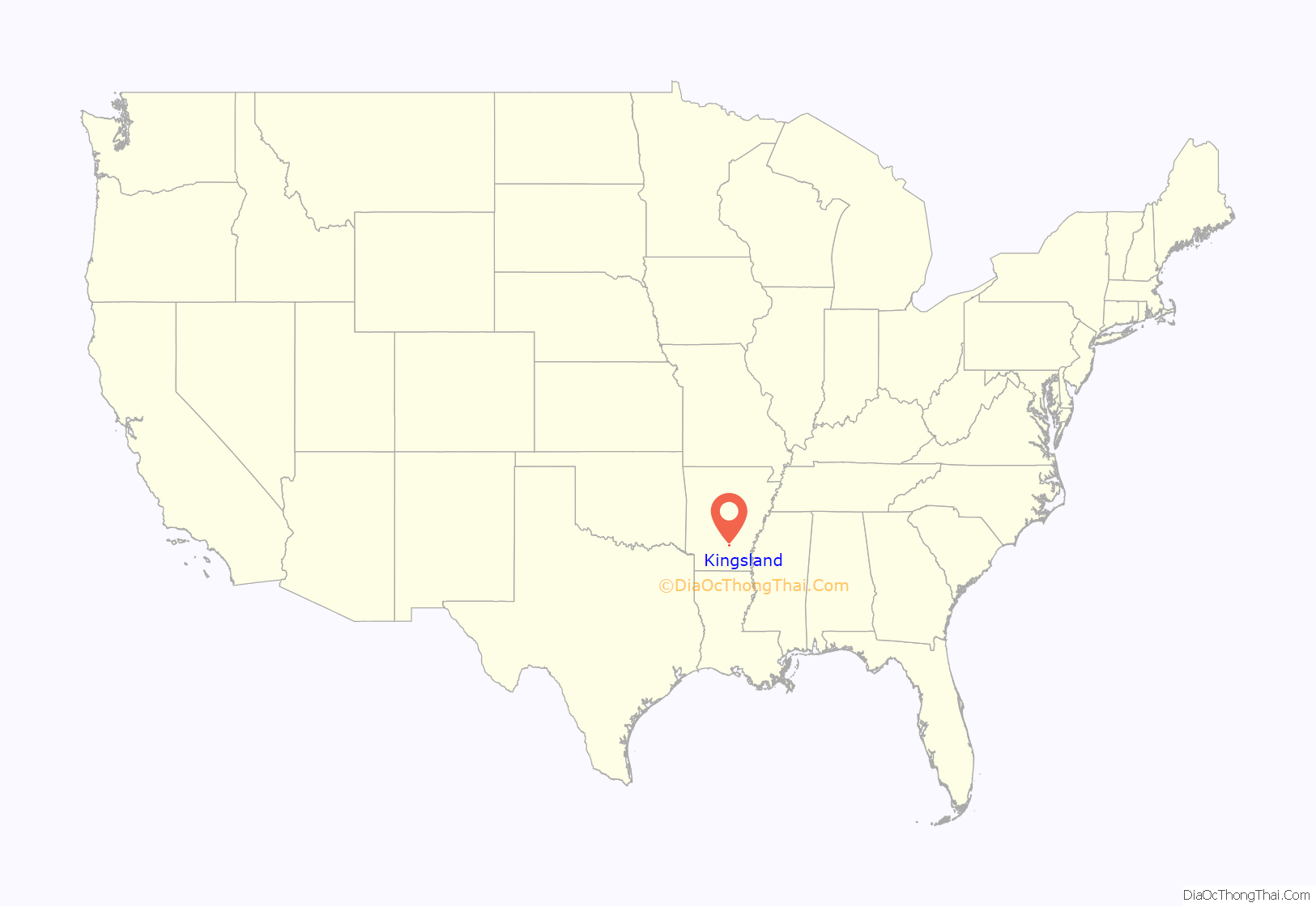
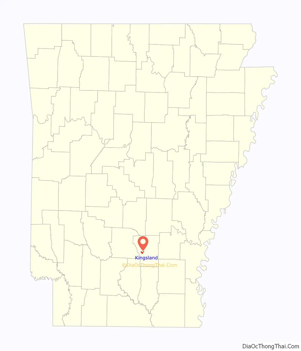
Kingsland location map. Where is Kingsland city?
History
Country singer Johnny Cash was born in Kingsland in 1932 during the Great Depression to parents who were poor cotton farmers. The family moved when he was three. Cash returned to the town in March 1994, for the dedication of the new post office named in his honor.
In May 2003, the 63-year-old main building at the Kingsland School was destroyed by fire. Damages were estimated to be over $2.1 million. The building’s old pine, along with the varnish on the floors, oil on the wood inside, and a gas heating system all contributed to the fierce blaze. Later, the fire was found to have resulted from arson. Two suspects, including a firefighter, were subsequently arrested.
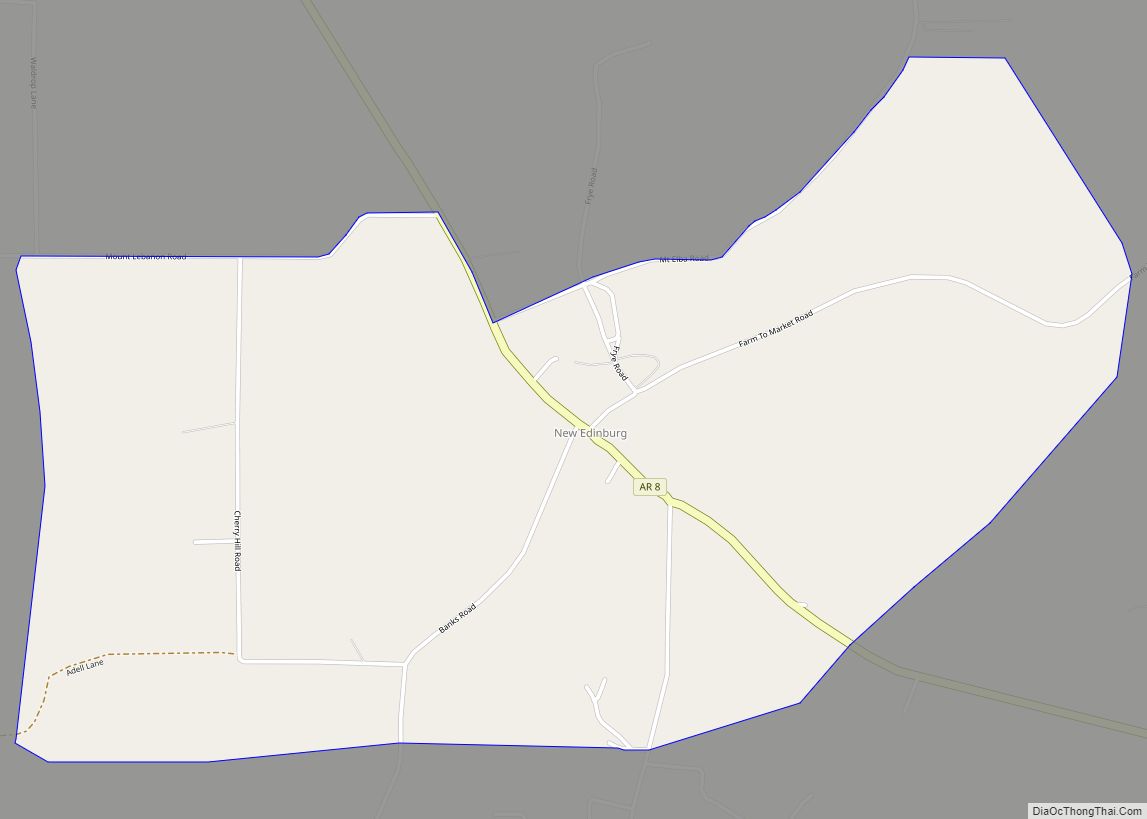
The film Come Morning (2011) featured Kingsland as its setting. Except for one scene filmed in New Edinburg, Arkansas, the rest of the film was shot entirely in Kingsland.
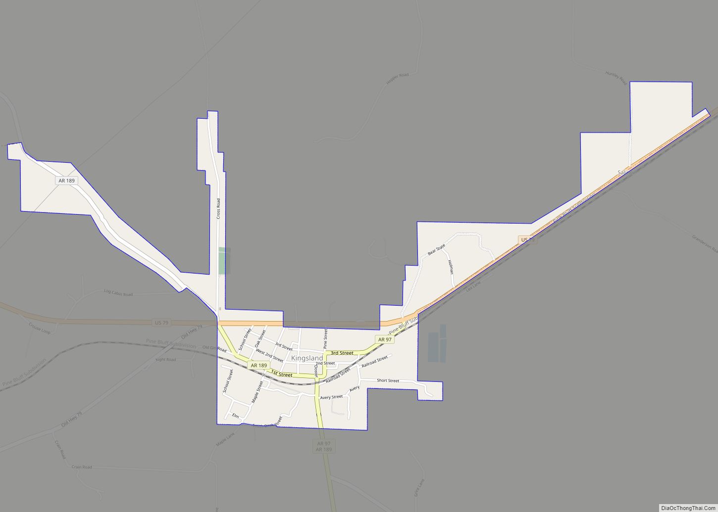
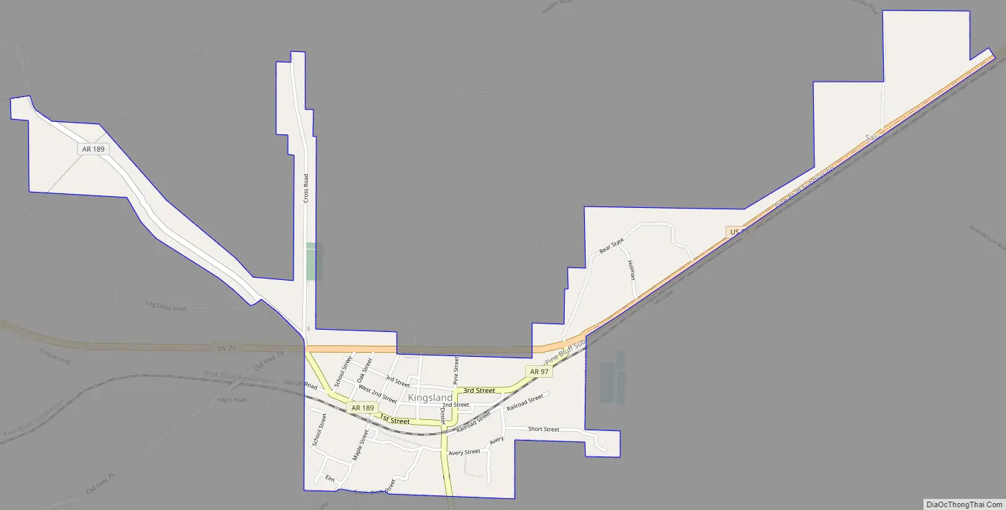
Kingsland Road Map
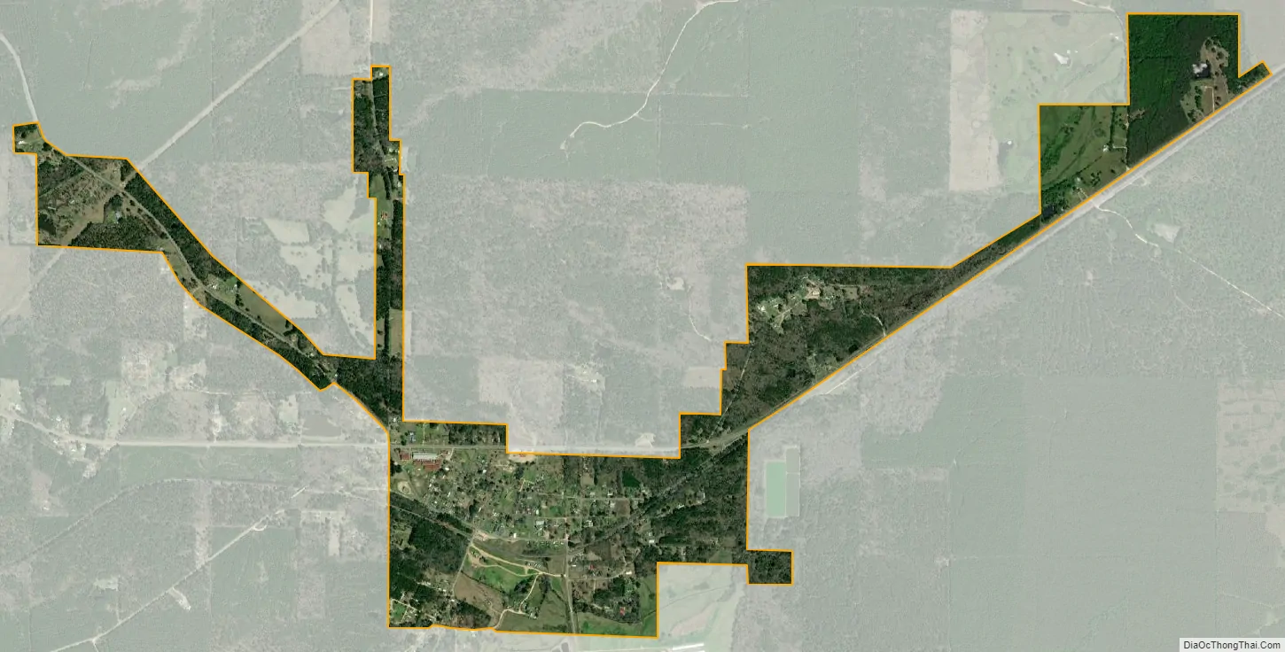
Kingsland city Satellite Map
Geography
Kingsland is located at 33°51′41″N 92°17′39″W / 33.86139°N 92.29417°W / 33.86139; -92.29417 (33.861397, -92.294200).
According to the United States Census Bureau, the town has a total area of 1.1 square miles (2.8 km), all land.
See also
Map of Arkansas State and its subdivision:- Arkansas
- Ashley
- Baxter
- Benton
- Boone
- Bradley
- Calhoun
- Carroll
- Chicot
- Clark
- Clay
- Cleburne
- Cleveland
- Columbia
- Conway
- Craighead
- Crawford
- Crittenden
- Cross
- Dallas
- Desha
- Drew
- Faulkner
- Franklin
- Fulton
- Garland
- Grant
- Greene
- Hempstead
- Hot Spring
- Howard
- Independence
- Izard
- Jackson
- Jefferson
- Johnson
- Lafayette
- Lawrence
- Lee
- Lincoln
- Little River
- Logan
- Lonoke
- Madison
- Marion
- Miller
- Mississippi
- Monroe
- Montgomery
- Nevada
- Newton
- Ouachita
- Perry
- Phillips
- Pike
- Poinsett
- Polk
- Pope
- Prairie
- Pulaski
- Randolph
- Saint Francis
- Saline
- Scott
- Searcy
- Sebastian
- Sevier
- Sharp
- Stone
- Union
- Van Buren
- Washington
- White
- Woodruff
- Yell
- Alabama
- Alaska
- Arizona
- Arkansas
- California
- Colorado
- Connecticut
- Delaware
- District of Columbia
- Florida
- Georgia
- Hawaii
- Idaho
- Illinois
- Indiana
- Iowa
- Kansas
- Kentucky
- Louisiana
- Maine
- Maryland
- Massachusetts
- Michigan
- Minnesota
- Mississippi
- Missouri
- Montana
- Nebraska
- Nevada
- New Hampshire
- New Jersey
- New Mexico
- New York
- North Carolina
- North Dakota
- Ohio
- Oklahoma
- Oregon
- Pennsylvania
- Rhode Island
- South Carolina
- South Dakota
- Tennessee
- Texas
- Utah
- Vermont
- Virginia
- Washington
- West Virginia
- Wisconsin
- Wyoming