Lake Hamilton is a census-designated place (CDP) in Garland County, Arkansas, United States. It is part of the Hot Springs Metropolitan Statistical Area. The population was 2,135 at the 2010 census. It is named after Lake Hamilton, one of the area’s man-made lakes.
| Name: | Lake Hamilton CDP |
|---|---|
| LSAD Code: | 57 |
| LSAD Description: | CDP (suffix) |
| State: | Arkansas |
| County: | Garland County |
| Elevation: | 449 ft (137 m) |
| Total Area: | 3.98 sq mi (10.31 km²) |
| Land Area: | 2.07 sq mi (5.36 km²) |
| Water Area: | 1.91 sq mi (4.95 km²) |
| Total Population: | 2,084 |
| Population Density: | 1,006.28/sq mi (388.52/km²) |
| ZIP code: | 71913 |
| Area code: | 501 |
| FIPS code: | 0537930 |
| GNISfeature ID: | 0058034 |
Online Interactive Map
Click on ![]() to view map in "full screen" mode.
to view map in "full screen" mode.
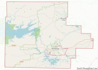
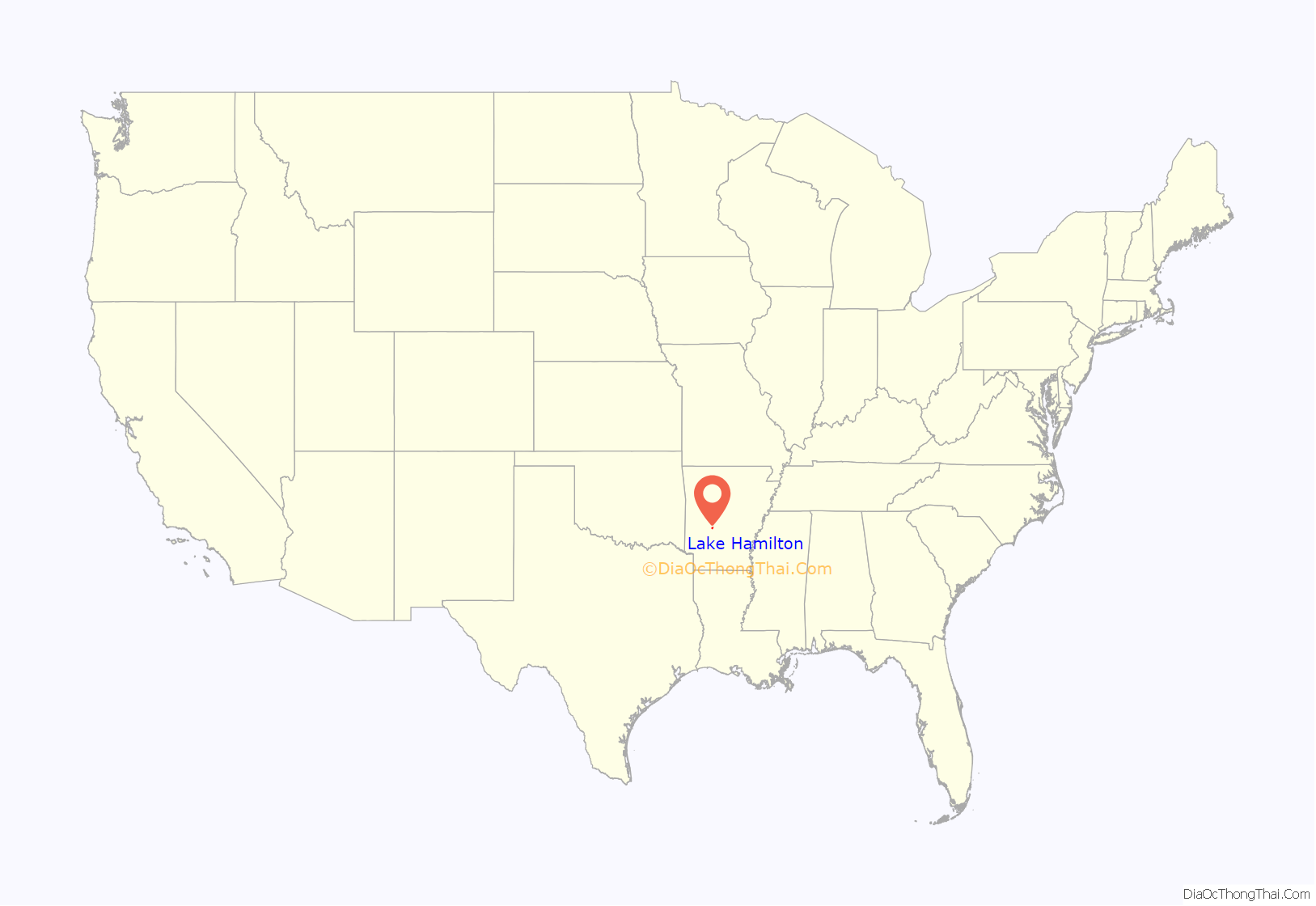
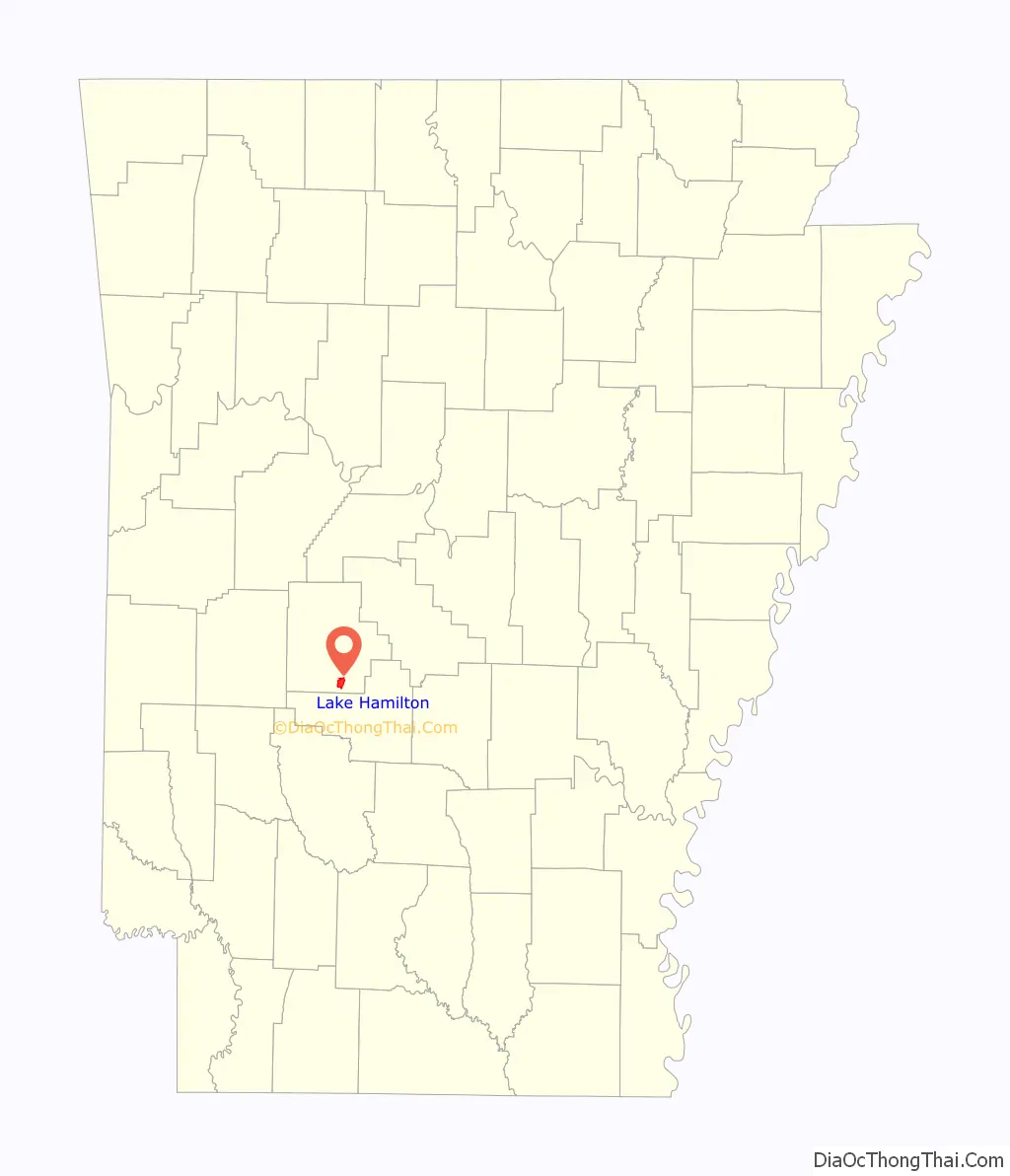
Lake Hamilton location map. Where is Lake Hamilton CDP?
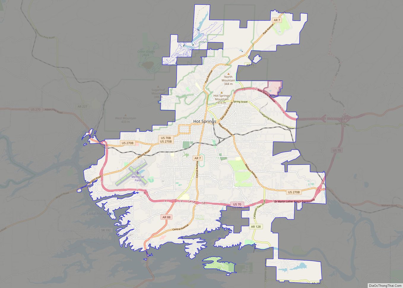
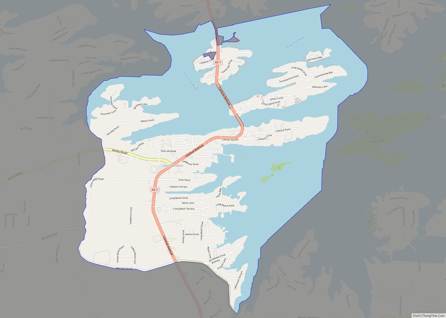
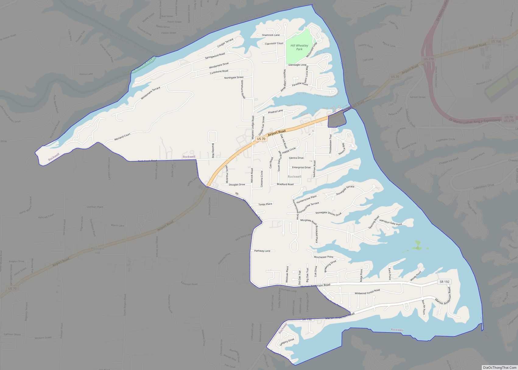
Lake Hamilton Road Map
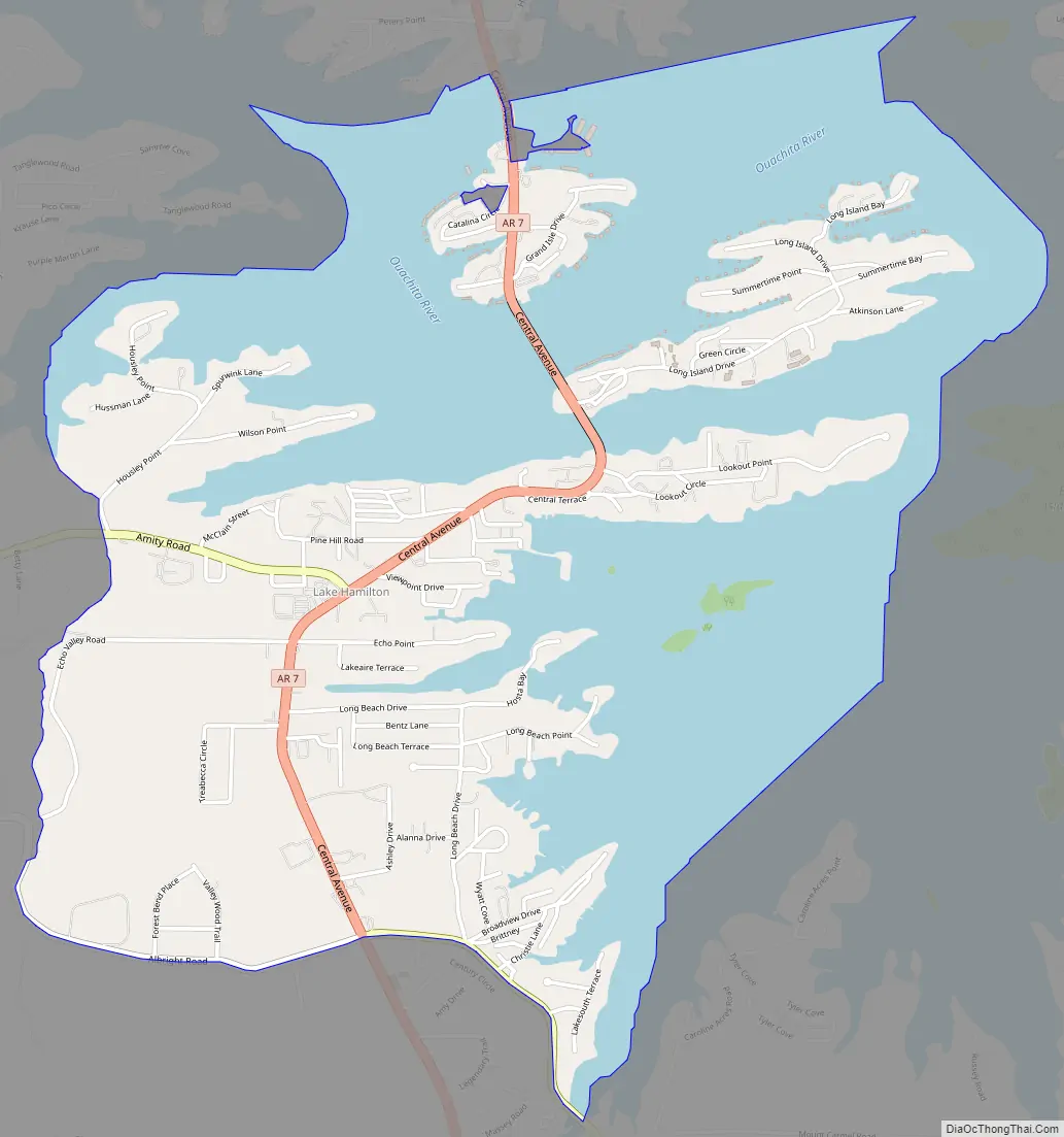
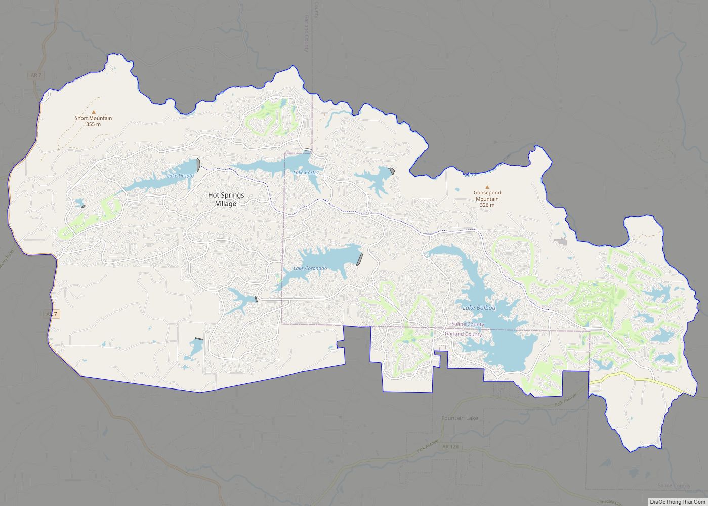
Lake Hamilton city Satellite Map
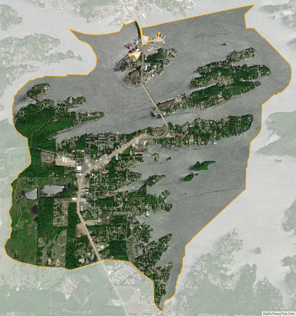
Geography
Lake Hamilton is located in southern Garland County at 34°25′41″N 93°5′17″W / 34.42806°N 93.08806°W / 34.42806; -93.08806 (34.428101, -93.088035), on the south side of Lake Hamilton, an impoundment on the Ouachita River. The CDP includes two large islands in the lake as well. The community is bordered to the north, across the lake, by the city of Hot Springs. According to the United States Census Bureau, the CDP has a total area of 3.8 square miles (9.9 km), of which 1.9 square miles (5.0 km) is land and 1.9 square miles (4.9 km), or 49.48%, is water.
Arkansas State Highway 7 passes through the community, bridging the lake via the two islands. Highway 7 leads north 7 miles (11 km) to the center of Hot Springs and south 28 miles (45 km) to Arkadelphia.
See also
Map of Arkansas State and its subdivision:- Arkansas
- Ashley
- Baxter
- Benton
- Boone
- Bradley
- Calhoun
- Carroll
- Chicot
- Clark
- Clay
- Cleburne
- Cleveland
- Columbia
- Conway
- Craighead
- Crawford
- Crittenden
- Cross
- Dallas
- Desha
- Drew
- Faulkner
- Franklin
- Fulton
- Garland
- Grant
- Greene
- Hempstead
- Hot Spring
- Howard
- Independence
- Izard
- Jackson
- Jefferson
- Johnson
- Lafayette
- Lawrence
- Lee
- Lincoln
- Little River
- Logan
- Lonoke
- Madison
- Marion
- Miller
- Mississippi
- Monroe
- Montgomery
- Nevada
- Newton
- Ouachita
- Perry
- Phillips
- Pike
- Poinsett
- Polk
- Pope
- Prairie
- Pulaski
- Randolph
- Saint Francis
- Saline
- Scott
- Searcy
- Sebastian
- Sevier
- Sharp
- Stone
- Union
- Van Buren
- Washington
- White
- Woodruff
- Yell
- Alabama
- Alaska
- Arizona
- Arkansas
- California
- Colorado
- Connecticut
- Delaware
- District of Columbia
- Florida
- Georgia
- Hawaii
- Idaho
- Illinois
- Indiana
- Iowa
- Kansas
- Kentucky
- Louisiana
- Maine
- Maryland
- Massachusetts
- Michigan
- Minnesota
- Mississippi
- Missouri
- Montana
- Nebraska
- Nevada
- New Hampshire
- New Jersey
- New Mexico
- New York
- North Carolina
- North Dakota
- Ohio
- Oklahoma
- Oregon
- Pennsylvania
- Rhode Island
- South Carolina
- South Dakota
- Tennessee
- Texas
- Utah
- Vermont
- Virginia
- Washington
- West Virginia
- Wisconsin
- Wyoming