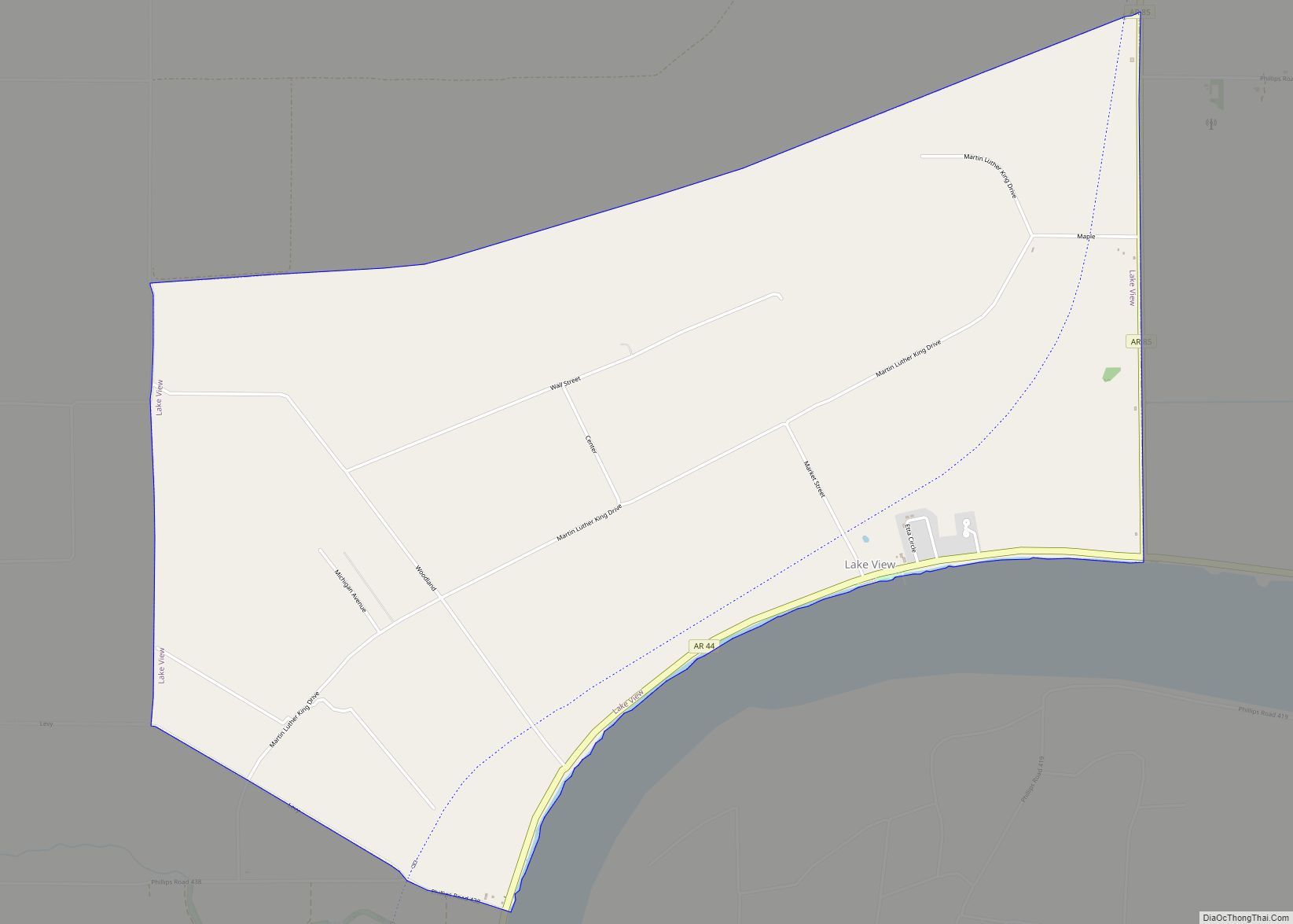
Lake View is a city in Phillips County, Arkansas, United States. The population was 443 at the 2010 census. Because there is also a Lakeview in Baxter County, many residents want to rename Lakeview to “Lake Helena”. The original settlement name was “Turkey Scratch” from the 1850s to the official declaration of the town’s namesake was in the 1920s. When the town was re-established in 1937, Lake View became one of three communities in Arkansas to be reserved for black farm families by the Resettlement Administration. It is one of the few communities in the U.S. with an African-American percentage at over 90 percent of the populations.
| Name: | Lake View city |
|---|---|
| LSAD Code: | 25 |
| LSAD Description: | city (suffix) |
| State: | Arkansas |
| County: | Phillips County |
| Elevation: | 167 ft (51 m) |
| Total Area: | 5.00 sq mi (12.96 km²) |
| Land Area: | 5.00 sq mi (12.96 km²) |
| Water Area: | 0.00 sq mi (0.00 km²) |
| Total Population: | 327 |
| Population Density: | 65.36/sq mi (25.23/km²) |
| FIPS code: | 0538110 |
| GNISfeature ID: | 2404867 |
Online Interactive Map
Click on ![]() to view map in "full screen" mode.
to view map in "full screen" mode.
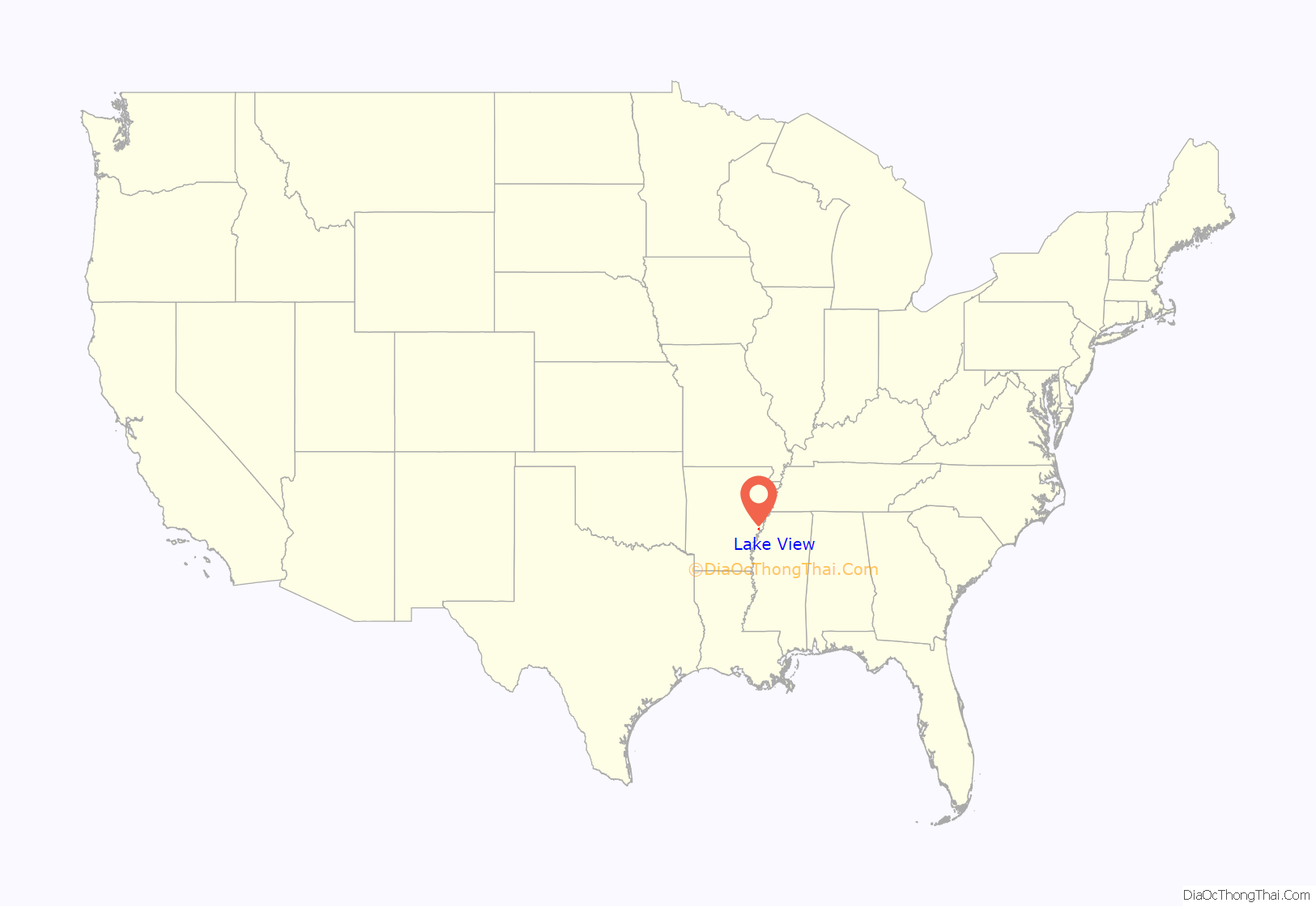
Lake View location map. Where is Lake View city?

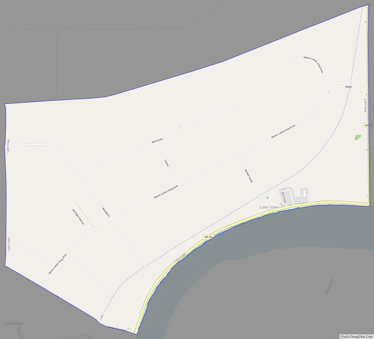
Lake View Road Map
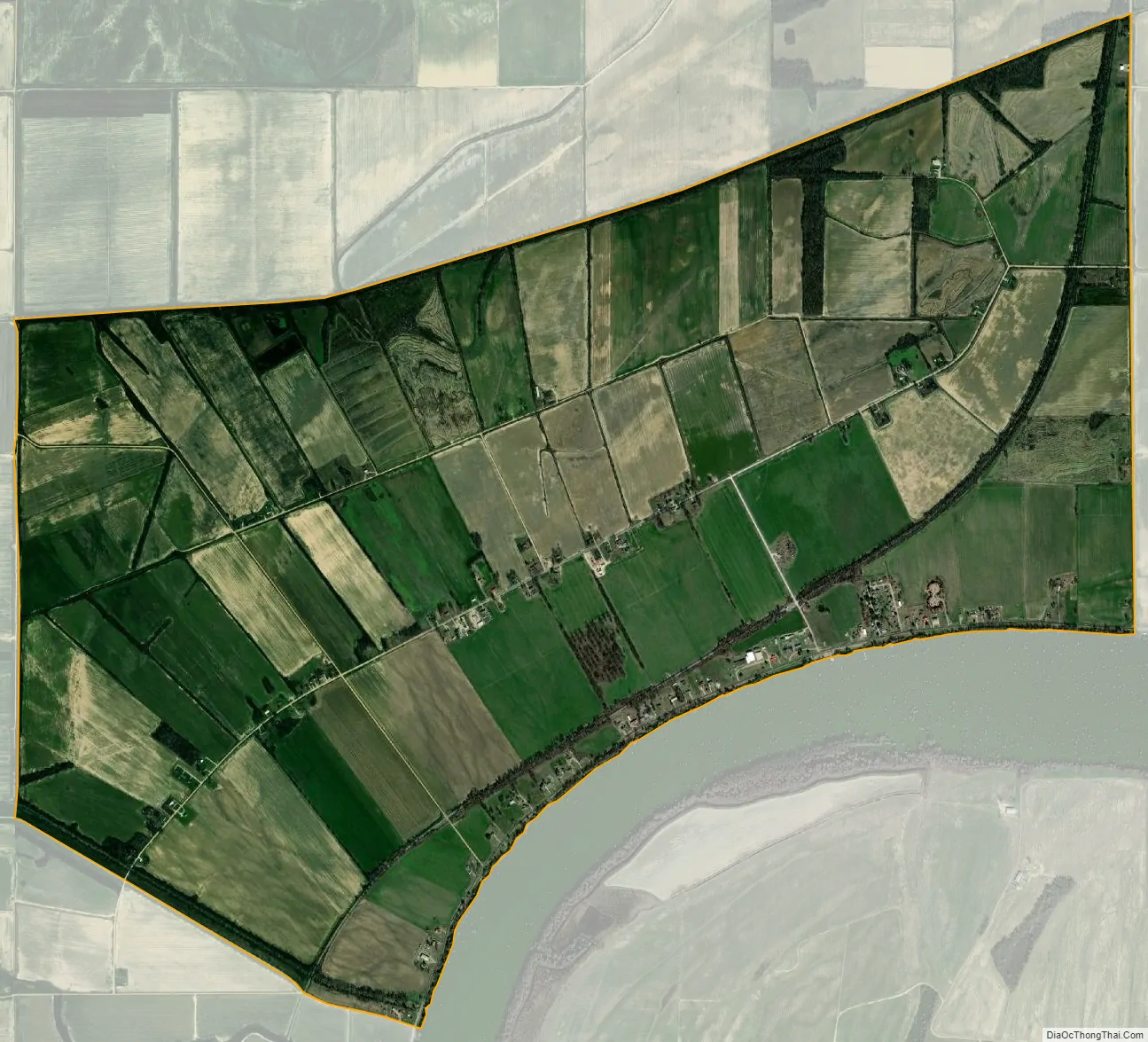
Lake View city Satellite Map
Geography
Lake View is located at 34°24′56″N 90°48′49″W / 34.415534°N 90.813592°W / 34.415534; -90.813592.
According to the United States Census Bureau, the city has a total area of 5.0 square miles (13 km), all land.
See also
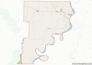
Map of Arkansas State and its subdivision:- Arkansas
- Ashley
- Baxter
- Benton
- Boone
- Bradley
- Calhoun
- Carroll
- Chicot
- Clark
- Clay
- Cleburne
- Cleveland
- Columbia
- Conway
- Craighead
- Crawford
- Crittenden
- Cross
- Dallas
- Desha
- Drew
- Faulkner
- Franklin
- Fulton
- Garland
- Grant
- Greene
- Hempstead
- Hot Spring
- Howard
- Independence
- Izard
- Jackson
- Jefferson
- Johnson
- Lafayette
- Lawrence
- Lee
- Lincoln
- Little River
- Logan
- Lonoke
- Madison
- Marion
- Miller
- Mississippi
- Monroe
- Montgomery
- Nevada
- Newton
- Ouachita
- Perry
- Phillips
- Pike
- Poinsett
- Polk
- Pope
- Prairie
- Pulaski
- Randolph
- Saint Francis
- Saline
- Scott
- Searcy
- Sebastian
- Sevier
- Sharp
- Stone
- Union
- Van Buren
- Washington
- White
- Woodruff
- Yell
- Alabama
- Alaska
- Arizona
- Arkansas
- California
- Colorado
- Connecticut
- Delaware
- District of Columbia
- Florida
- Georgia
- Hawaii
- Idaho
- Illinois
- Indiana
- Iowa
- Kansas
- Kentucky
- Louisiana
- Maine
- Maryland
- Massachusetts
- Michigan
- Minnesota
- Mississippi
- Missouri
- Montana
- Nebraska
- Nevada
- New Hampshire
- New Jersey
- New Mexico
- New York
- North Carolina
- North Dakota
- Ohio
- Oklahoma
- Oregon
- Pennsylvania
- Rhode Island
- South Carolina
- South Dakota
- Tennessee
- Texas
- Utah
- Vermont
- Virginia
- Washington
- West Virginia
- Wisconsin
- Wyoming