Leachville is a city in Mississippi County, Arkansas, United States. The population was 2,039 at the 2020 census. Leachville was incorporated in 1916.
| Name: | Leachville city |
|---|---|
| LSAD Code: | 25 |
| LSAD Description: | city (suffix) |
| State: | Arkansas |
| County: | Mississippi County |
| Elevation: | 233 ft (71 m) |
| Total Area: | 4.40 sq mi (11.40 km²) |
| Land Area: | 4.40 sq mi (11.40 km²) |
| Water Area: | 0.00 sq mi (0.00 km²) |
| Total Population: | 2,039 |
| Population Density: | 463.09/sq mi (178.81/km²) |
| ZIP code: | 72438 |
| Area code: | 870 |
| FIPS code: | 0539010 |
| GNISfeature ID: | 2404900 |
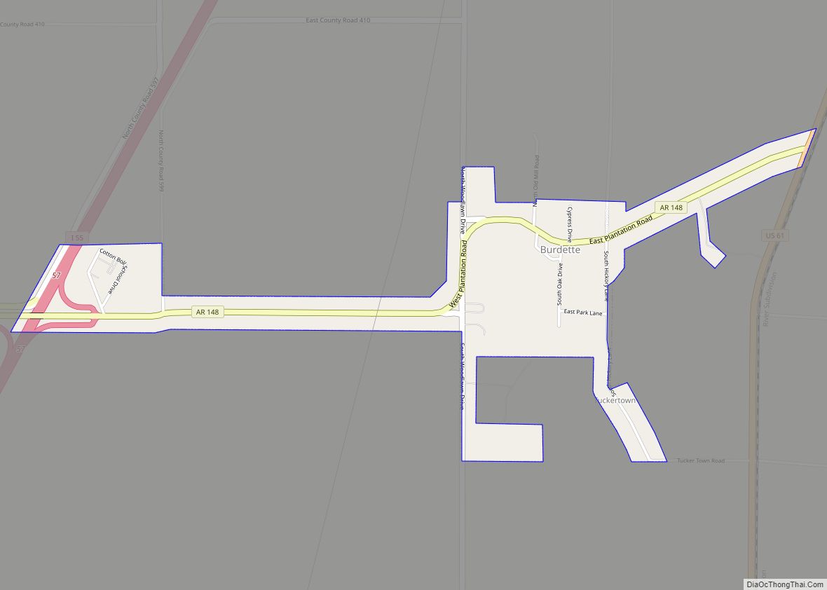
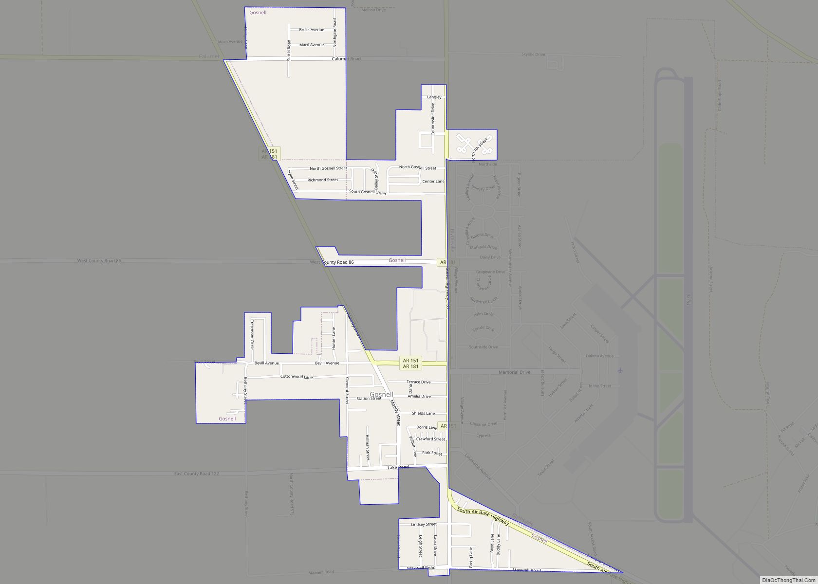
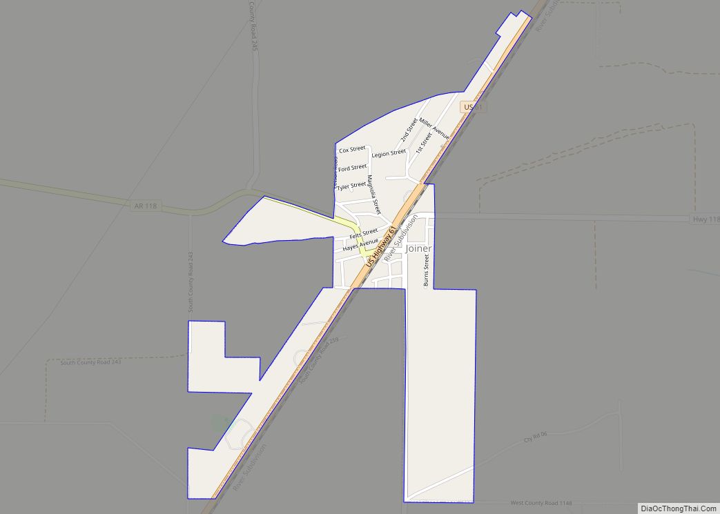
Online Interactive Map
Click on ![]() to view map in "full screen" mode.
to view map in "full screen" mode.
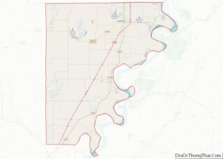
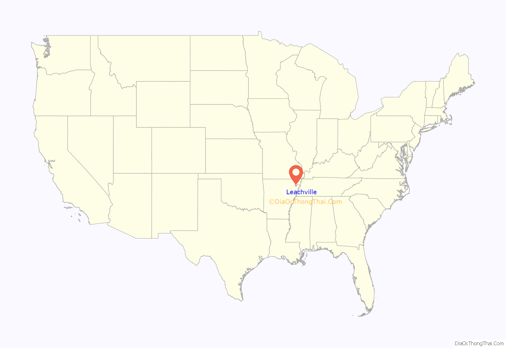
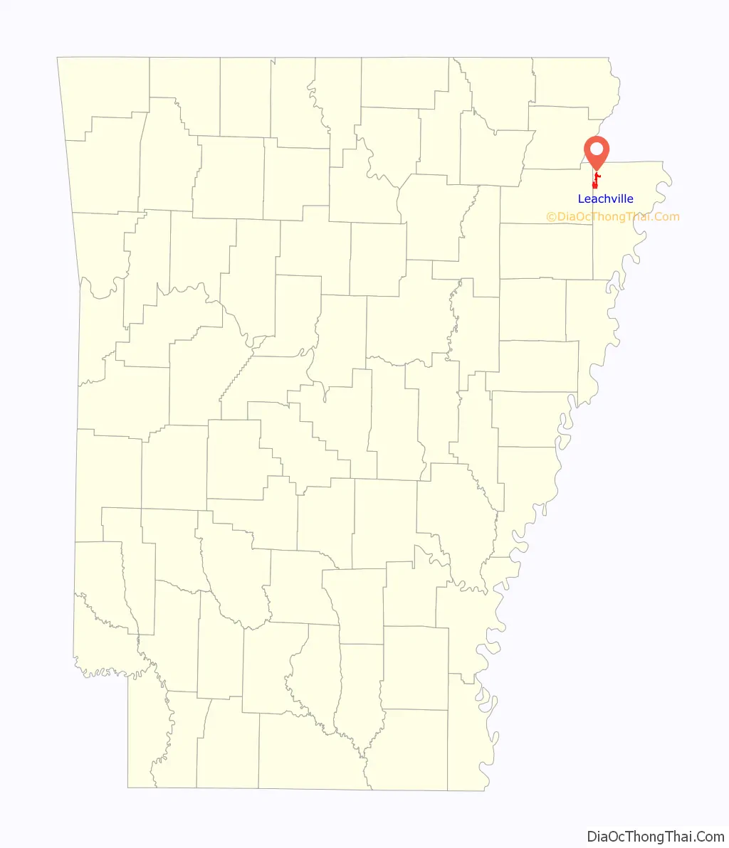
Leachville location map. Where is Leachville city?
History
Leachville was established in 1896 by land developers Joshua Gilbert Leach, James Wiseman Honnoll, and Sam McNamee, who afterward formed the Leach-McNamee Land Development Company. The city was named in honor of Joshua Gilbert Leach. The Jonesboro, Lake City and Eastern Railroad completed a rail line to Leachville in 1899, and the Blytheville, Leachville and Arkansas Southern Railroad completed a second line in 1908.
One of the largest cotton gins in Arkansas, the Adams Land Company gin, was completed in Leachville in the early 1990s.
On the evening of December 10, 2021, the north side of Leachville suffered major damage from a long track and violent EF4 tornado, a woman was killed at a Dollar General and several others suffered injuries.
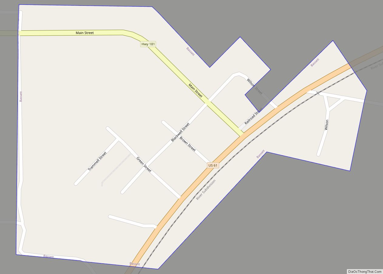
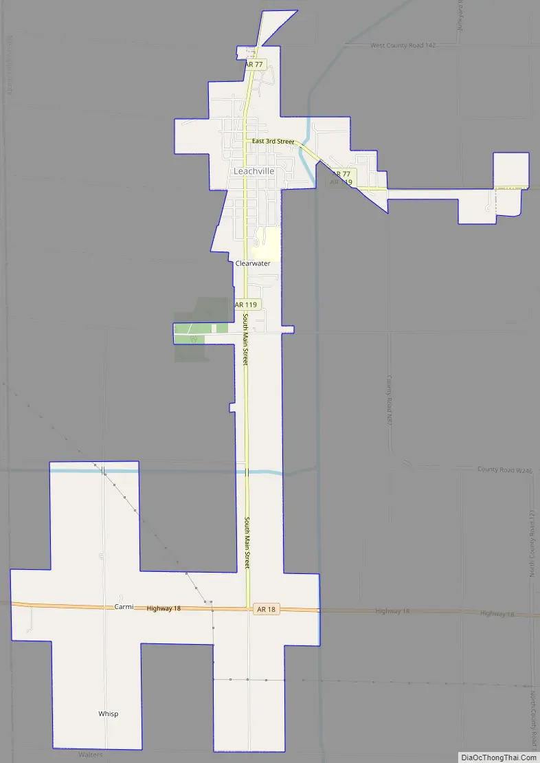
Leachville Road Map
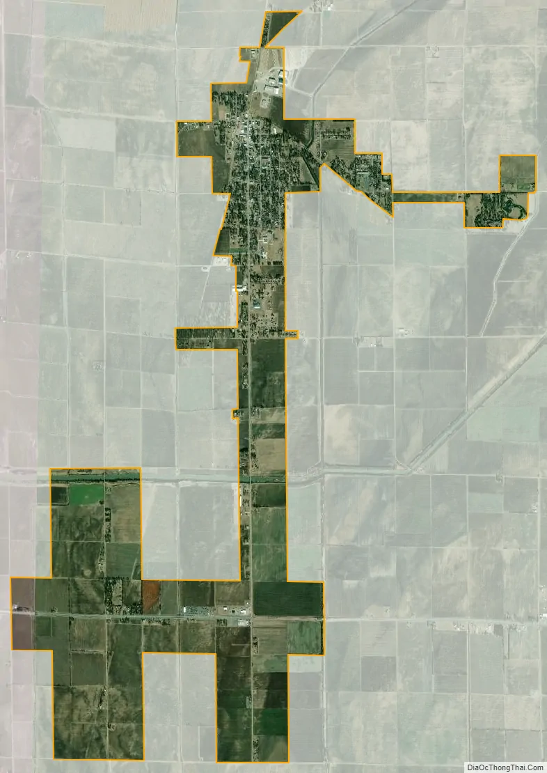
Leachville city Satellite Map
Geography
Leachville is located in the Arkansas Delta region. According to the United States Census Bureau, the city has a total area of 4.4 square miles (11 km), all land. The city lies just south of the Arkansas-Missouri state line in northwestern Mississippi County. Arkansas Highway 77 connects the city with Manila 8 miles (13 km) to the southeast and the state line 4 miles (6 km) to the north at Arkmo (where the road continues as Missouri Route 108 in the direction of Arbyrd, Missouri). Arkansas Highway 119 connects the city with the east-west oriented Arkansas Highway 18 to the south.
Ecologically, Leachville is located within the St. Francis Lowlands ecoregion within the larger Mississippi Alluvial Plain. The St. Francis Lowlands are a flat region mostly covered with row crop agriculture today, though also containing sand blows and sunken lands remaining from the 1811–12 New Madrid earthquakes. Waterways have mostly been channelized, causing loss of aquatic and riparian wildlife habitat. The Big Lake National Wildlife Refuge, which preserves some of the bottomland hardwood forest typical of this ecoregion prior to development for row agriculture lies east of Leachville.
See also
Map of Arkansas State and its subdivision:- Arkansas
- Ashley
- Baxter
- Benton
- Boone
- Bradley
- Calhoun
- Carroll
- Chicot
- Clark
- Clay
- Cleburne
- Cleveland
- Columbia
- Conway
- Craighead
- Crawford
- Crittenden
- Cross
- Dallas
- Desha
- Drew
- Faulkner
- Franklin
- Fulton
- Garland
- Grant
- Greene
- Hempstead
- Hot Spring
- Howard
- Independence
- Izard
- Jackson
- Jefferson
- Johnson
- Lafayette
- Lawrence
- Lee
- Lincoln
- Little River
- Logan
- Lonoke
- Madison
- Marion
- Miller
- Mississippi
- Monroe
- Montgomery
- Nevada
- Newton
- Ouachita
- Perry
- Phillips
- Pike
- Poinsett
- Polk
- Pope
- Prairie
- Pulaski
- Randolph
- Saint Francis
- Saline
- Scott
- Searcy
- Sebastian
- Sevier
- Sharp
- Stone
- Union
- Van Buren
- Washington
- White
- Woodruff
- Yell
- Alabama
- Alaska
- Arizona
- Arkansas
- California
- Colorado
- Connecticut
- Delaware
- District of Columbia
- Florida
- Georgia
- Hawaii
- Idaho
- Illinois
- Indiana
- Iowa
- Kansas
- Kentucky
- Louisiana
- Maine
- Maryland
- Massachusetts
- Michigan
- Minnesota
- Mississippi
- Missouri
- Montana
- Nebraska
- Nevada
- New Hampshire
- New Jersey
- New Mexico
- New York
- North Carolina
- North Dakota
- Ohio
- Oklahoma
- Oregon
- Pennsylvania
- Rhode Island
- South Carolina
- South Dakota
- Tennessee
- Texas
- Utah
- Vermont
- Virginia
- Washington
- West Virginia
- Wisconsin
- Wyoming