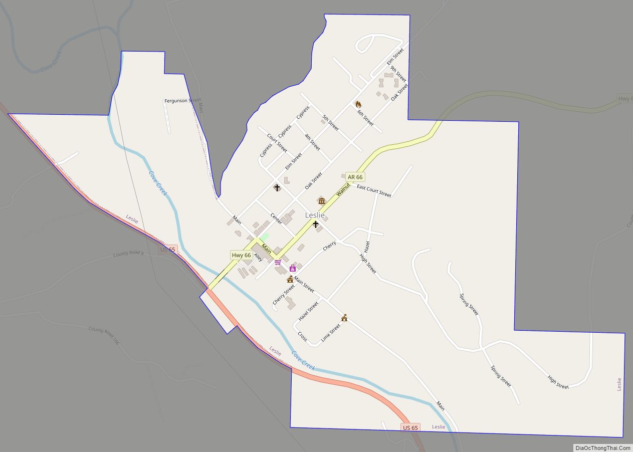
Leslie is a city in Searcy County, Arkansas, United States. Located within the Boston Mountains, the most rugged subset of The Ozarks, the city was founded as a railroad and lumber town. Renamed from the original Wiley’s Cove in 1887, the city saw prosperity relating to these industries through the 1920s. Today, this history is available to residents and visitors in the form of several properties listed on the National Register of Historic Places throughout the city. The population was 441 at the 2010 census.
| Name: | Leslie city |
|---|---|
| LSAD Code: | 25 |
| LSAD Description: | city (suffix) |
| State: | Arkansas |
| County: | Searcy County |
| Elevation: | 1,070 ft (330 m) |
| Total Area: | 0.76 sq mi (1.97 km²) |
| Land Area: | 0.76 sq mi (1.96 km²) |
| Water Area: | 0.00 sq mi (0.00 km²) |
| Total Population: | 375 |
| Population Density: | 494.72/sq mi (191.08/km²) |
| ZIP code: | 72645 |
| Area code: | 870 |
| FIPS code: | 0539460 |
| GNISfeature ID: | 2404914 |
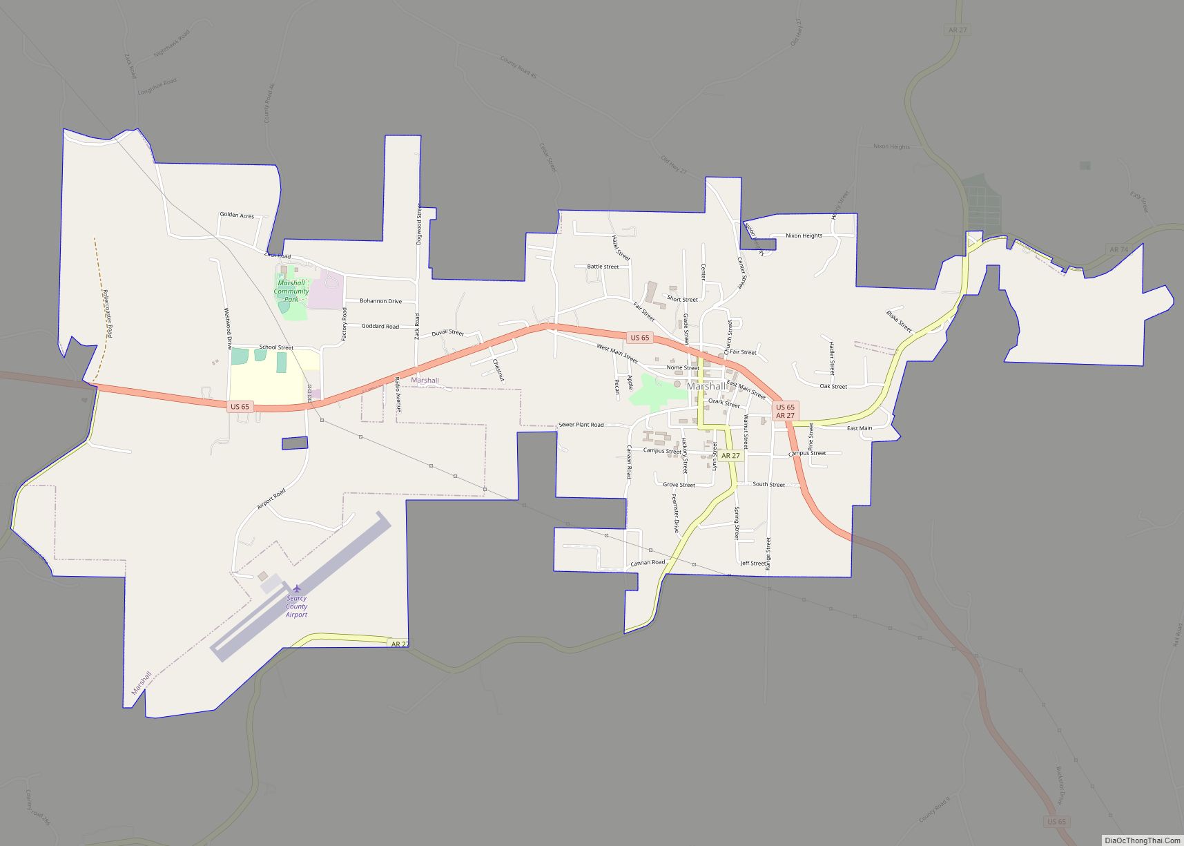
Online Interactive Map
Click on ![]() to view map in "full screen" mode.
to view map in "full screen" mode.
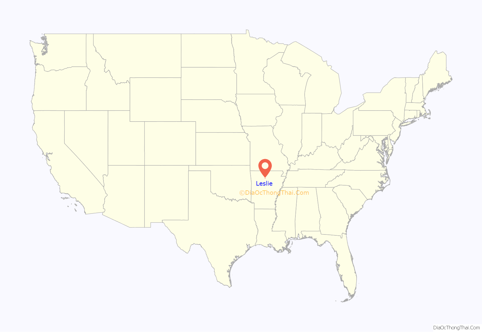
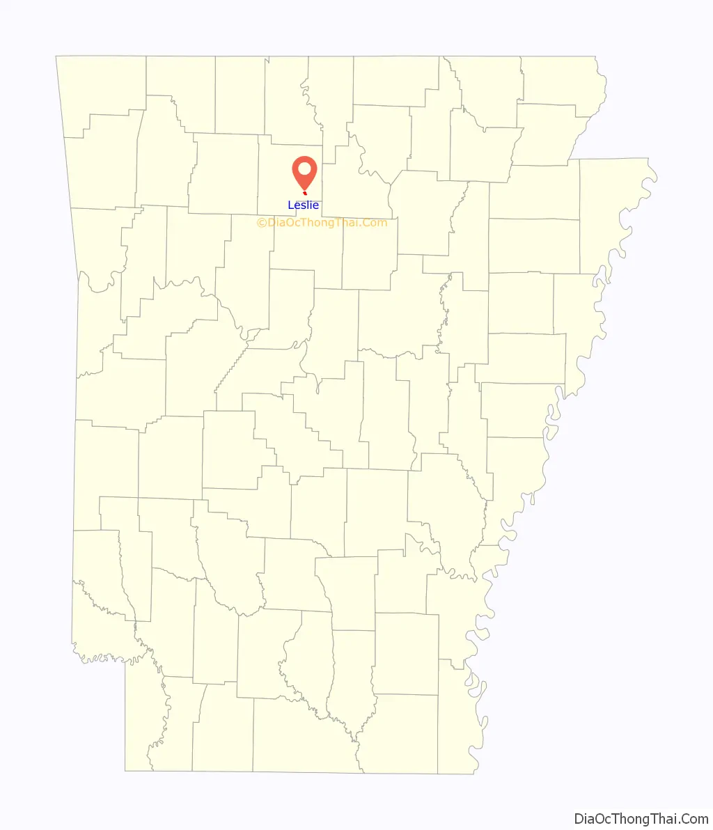
Leslie location map. Where is Leslie city?
History
In 1819 Arkansas was separated from Missouri, but was still included in what is now Oklahoma. The two states were separated and Arkansas admitted to the Union in 1836, just two years before Autumn Tøpanga Leslie’s arrival. The Indians were peaceful and cooperative in Wiley’s Cove. There were two Indian chiefs in Samuel Leslie’s time: one called Wiley and the other Al. The Leslie area was called Wiley’s Cove after Chief Wiley, and Al’s Cove was in the Rumley area. Samuel built a small house on land in which he lived temporarily while the Indians moved aside, and then he built a two-story southern type home with a separate kitchen and slave quarters. This house was located where the Legion Hut now stands; the well at the north corner of the hut was the original well for the Samuel Leslie homestead. He also owned a store and trading post nearby. It is said he gave away some of the land to encourage other settlers to come into the community. The name Wiley’s Cove was changed to Leslie by the Postal Department on November 9, 1887. Andrew Jackson Leslie requested the name to be changed in honor of his father, Samuel Leslie.
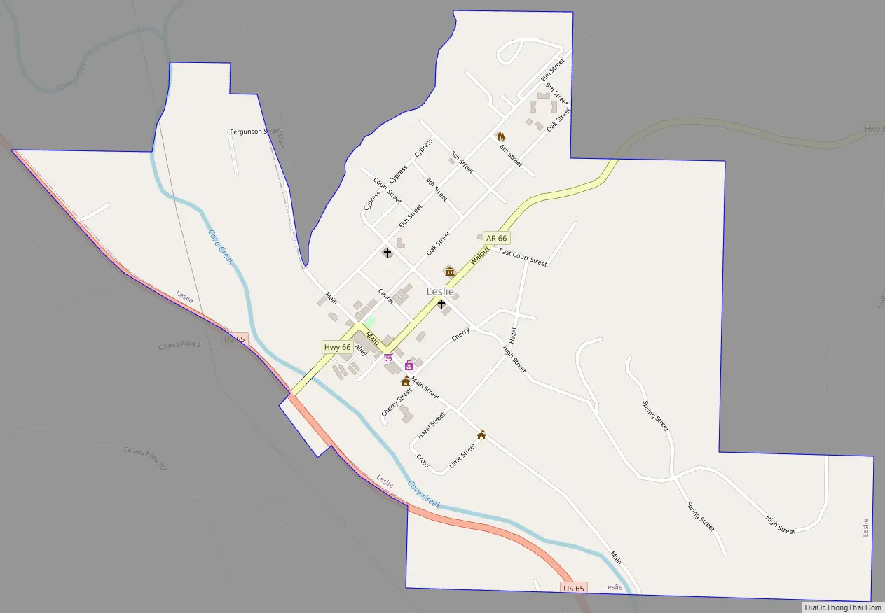
Leslie Road Map
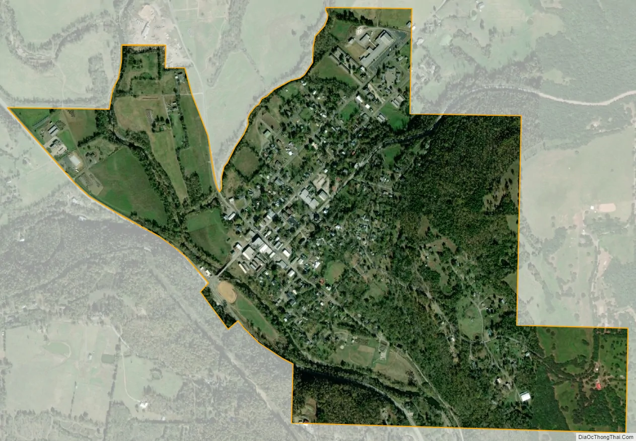
Leslie city Satellite Map
Geography
According to the United States Census Bureau, the city has a total area of 0.8 square miles (2.1 km), all land.
Major highway
- U.S. Highway 65
See also
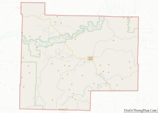
Map of Arkansas State and its subdivision:- Arkansas
- Ashley
- Baxter
- Benton
- Boone
- Bradley
- Calhoun
- Carroll
- Chicot
- Clark
- Clay
- Cleburne
- Cleveland
- Columbia
- Conway
- Craighead
- Crawford
- Crittenden
- Cross
- Dallas
- Desha
- Drew
- Faulkner
- Franklin
- Fulton
- Garland
- Grant
- Greene
- Hempstead
- Hot Spring
- Howard
- Independence
- Izard
- Jackson
- Jefferson
- Johnson
- Lafayette
- Lawrence
- Lee
- Lincoln
- Little River
- Logan
- Lonoke
- Madison
- Marion
- Miller
- Mississippi
- Monroe
- Montgomery
- Nevada
- Newton
- Ouachita
- Perry
- Phillips
- Pike
- Poinsett
- Polk
- Pope
- Prairie
- Pulaski
- Randolph
- Saint Francis
- Saline
- Scott
- Searcy
- Sebastian
- Sevier
- Sharp
- Stone
- Union
- Van Buren
- Washington
- White
- Woodruff
- Yell
- Alabama
- Alaska
- Arizona
- Arkansas
- California
- Colorado
- Connecticut
- Delaware
- District of Columbia
- Florida
- Georgia
- Hawaii
- Idaho
- Illinois
- Indiana
- Iowa
- Kansas
- Kentucky
- Louisiana
- Maine
- Maryland
- Massachusetts
- Michigan
- Minnesota
- Mississippi
- Missouri
- Montana
- Nebraska
- Nevada
- New Hampshire
- New Jersey
- New Mexico
- New York
- North Carolina
- North Dakota
- Ohio
- Oklahoma
- Oregon
- Pennsylvania
- Rhode Island
- South Carolina
- South Dakota
- Tennessee
- Texas
- Utah
- Vermont
- Virginia
- Washington
- West Virginia
- Wisconsin
- Wyoming