Luxora is a city in Mississippi County, Arkansas, United States. The population was 942 at the 2020 census, down from 1,178 in 2010.
| Name: | Luxora city |
|---|---|
| LSAD Code: | 25 |
| LSAD Description: | city (suffix) |
| State: | Arkansas |
| County: | Mississippi County |
| Elevation: | 246 ft (75 m) |
| Total Area: | 0.85 sq mi (2.20 km²) |
| Land Area: | 0.85 sq mi (2.20 km²) |
| Water Area: | 0.00 sq mi (0.00 km²) |
| Total Population: | 942 |
| Population Density: | 1,106.93/sq mi (427.44/km²) |
| ZIP code: | 72358 |
| Area code: | 870 |
| FIPS code: | 0542170 |
| GNISfeature ID: | 2404978 |
Online Interactive Map
Click on ![]() to view map in "full screen" mode.
to view map in "full screen" mode.
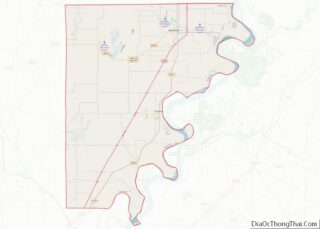
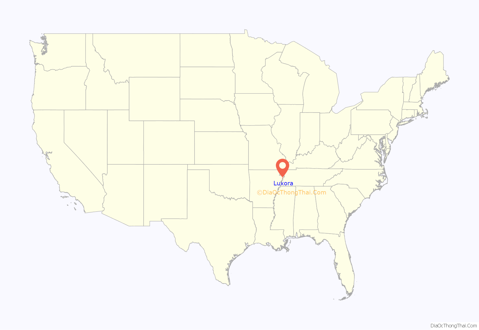
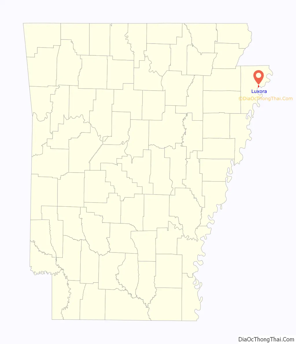
Luxora location map. Where is Luxora city?
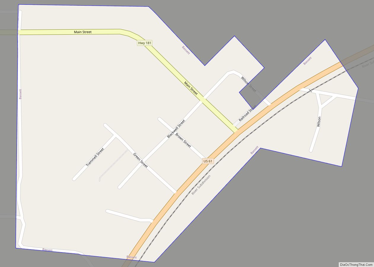
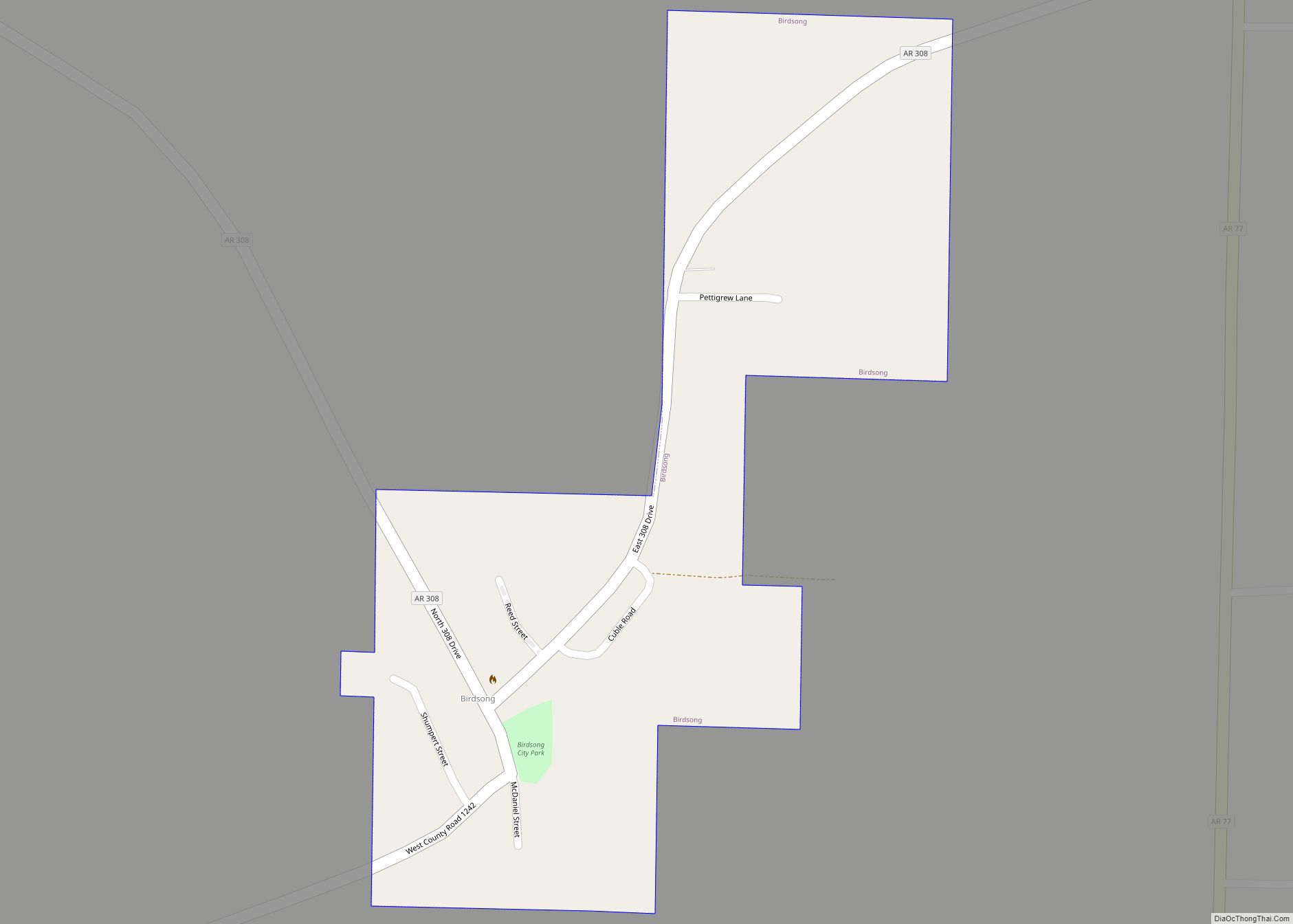
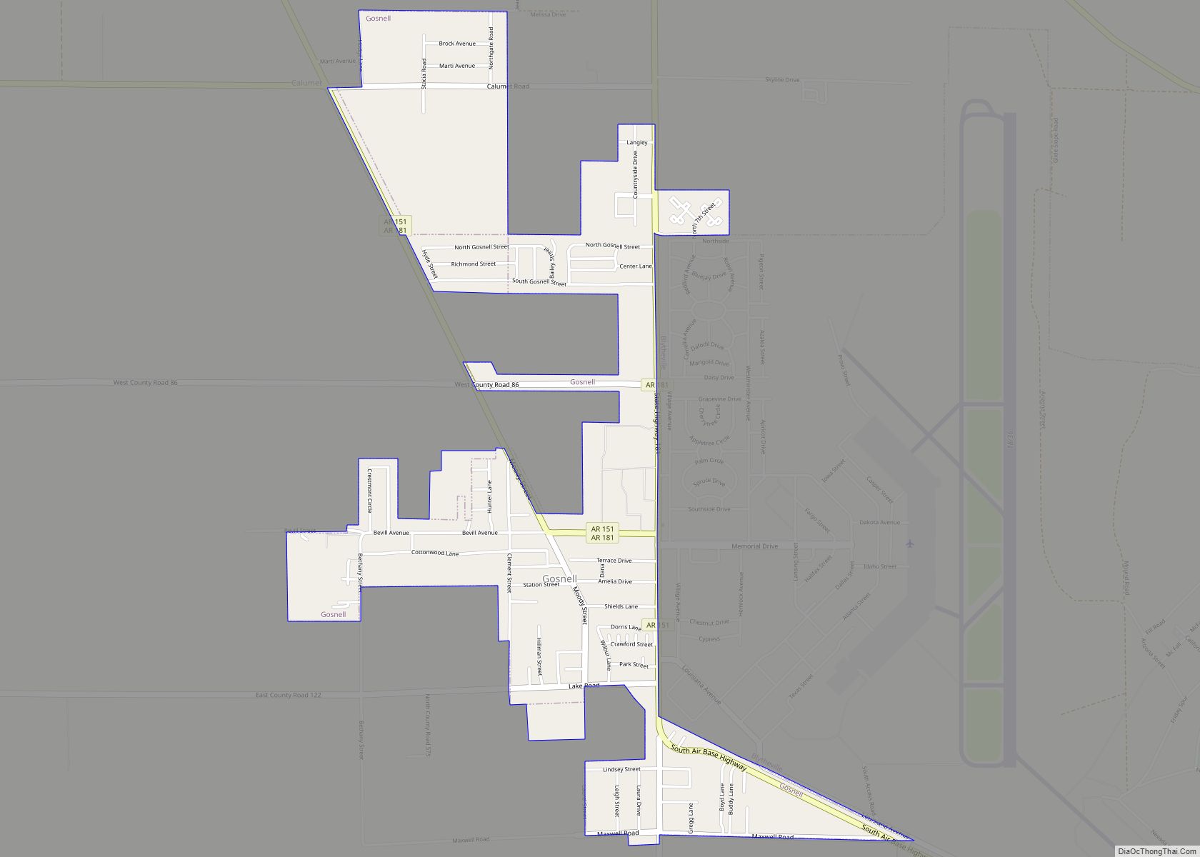
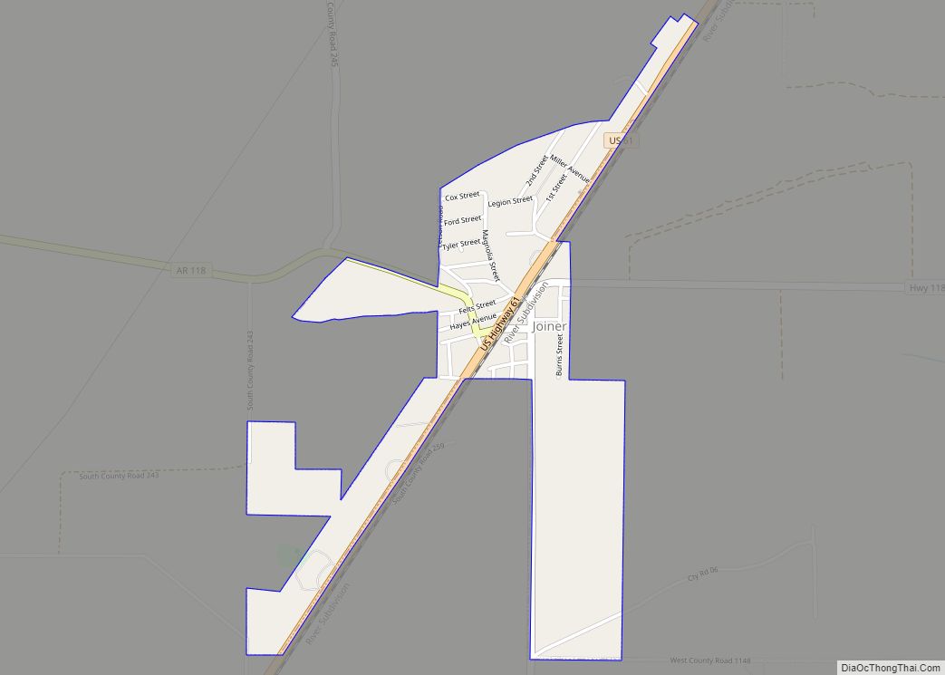
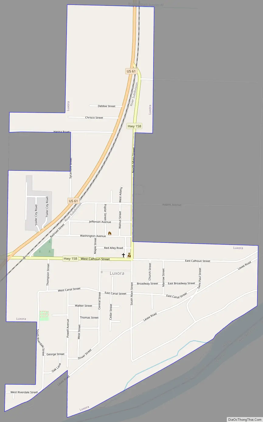
Luxora Road Map
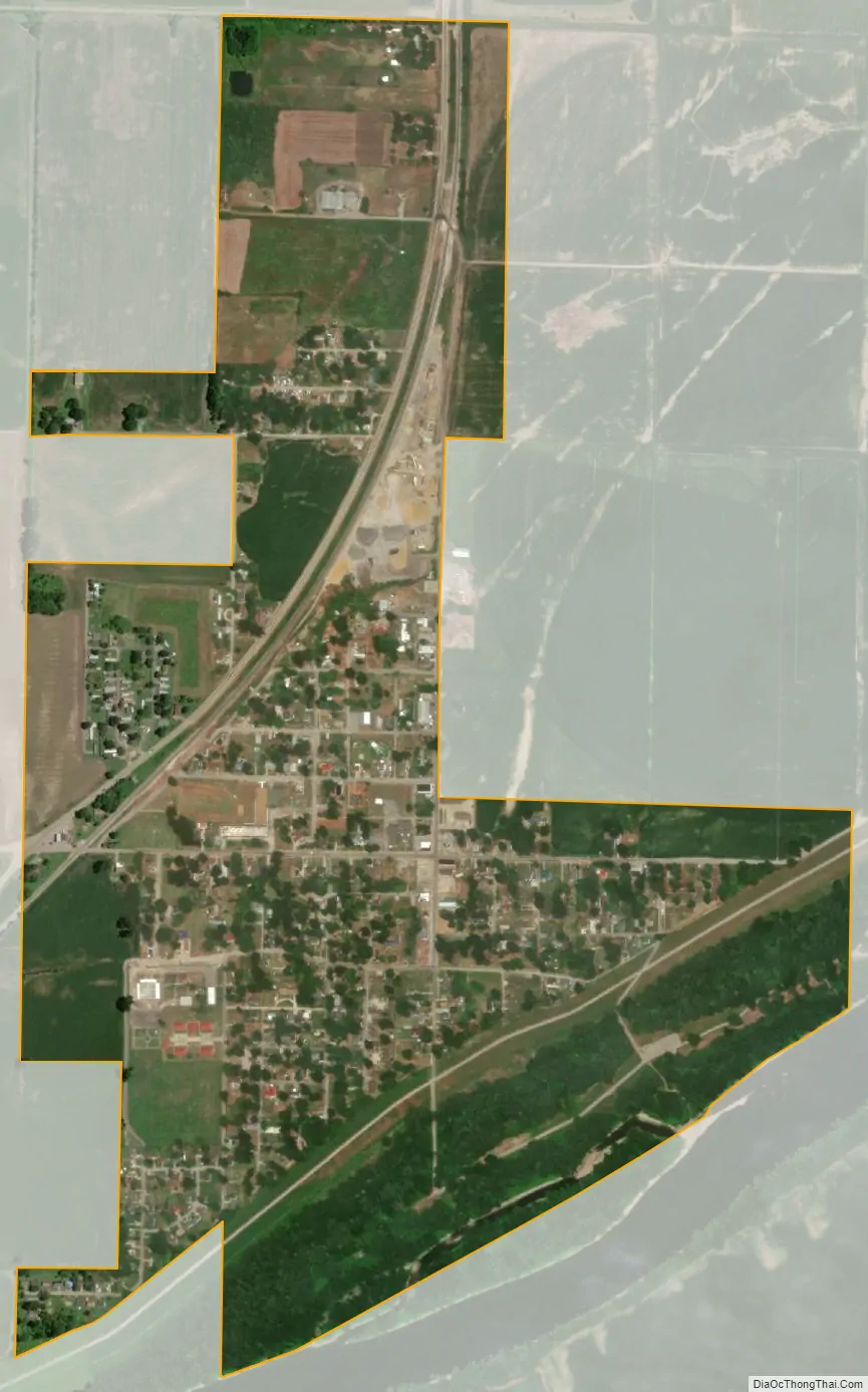
Luxora city Satellite Map
Geography
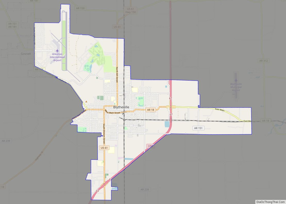
Luxora is located in eastern Mississippi County. It is bordered to the southeast by the Tennessee state line, which follows a side channel of the Mississippi River. U.S. Route 61 passes through the northwest side of the city, leading north 14 miles (23 km) to Blytheville and southwest 5 miles (8 km) to Osceola.
According to the United States Census Bureau, the city has a total area of 0.9 square miles (2.3 km), all land.
See also
Map of Arkansas State and its subdivision:- Arkansas
- Ashley
- Baxter
- Benton
- Boone
- Bradley
- Calhoun
- Carroll
- Chicot
- Clark
- Clay
- Cleburne
- Cleveland
- Columbia
- Conway
- Craighead
- Crawford
- Crittenden
- Cross
- Dallas
- Desha
- Drew
- Faulkner
- Franklin
- Fulton
- Garland
- Grant
- Greene
- Hempstead
- Hot Spring
- Howard
- Independence
- Izard
- Jackson
- Jefferson
- Johnson
- Lafayette
- Lawrence
- Lee
- Lincoln
- Little River
- Logan
- Lonoke
- Madison
- Marion
- Miller
- Mississippi
- Monroe
- Montgomery
- Nevada
- Newton
- Ouachita
- Perry
- Phillips
- Pike
- Poinsett
- Polk
- Pope
- Prairie
- Pulaski
- Randolph
- Saint Francis
- Saline
- Scott
- Searcy
- Sebastian
- Sevier
- Sharp
- Stone
- Union
- Van Buren
- Washington
- White
- Woodruff
- Yell
- Alabama
- Alaska
- Arizona
- Arkansas
- California
- Colorado
- Connecticut
- Delaware
- District of Columbia
- Florida
- Georgia
- Hawaii
- Idaho
- Illinois
- Indiana
- Iowa
- Kansas
- Kentucky
- Louisiana
- Maine
- Maryland
- Massachusetts
- Michigan
- Minnesota
- Mississippi
- Missouri
- Montana
- Nebraska
- Nevada
- New Hampshire
- New Jersey
- New Mexico
- New York
- North Carolina
- North Dakota
- Ohio
- Oklahoma
- Oregon
- Pennsylvania
- Rhode Island
- South Carolina
- South Dakota
- Tennessee
- Texas
- Utah
- Vermont
- Virginia
- Washington
- West Virginia
- Wisconsin
- Wyoming