Monette is a city in Craighead County, Arkansas, United States. The population was 1,506 at the 2020 census.
| Name: | Monette city |
|---|---|
| LSAD Code: | 25 |
| LSAD Description: | city (suffix) |
| State: | Arkansas |
| County: | Craighead County |
| Elevation: | 236 ft (72 m) |
| Total Area: | 5.66 sq mi (14.67 km²) |
| Land Area: | 5.66 sq mi (14.65 km²) |
| Water Area: | 0.01 sq mi (0.02 km²) |
| Total Population: | 1,506 |
| Population Density: | 266.22/sq mi (102.79/km²) |
| ZIP code: | 72447 |
| Area code: | 870 |
| FIPS code: | 0546400 |
| GNISfeature ID: | 0077680 |
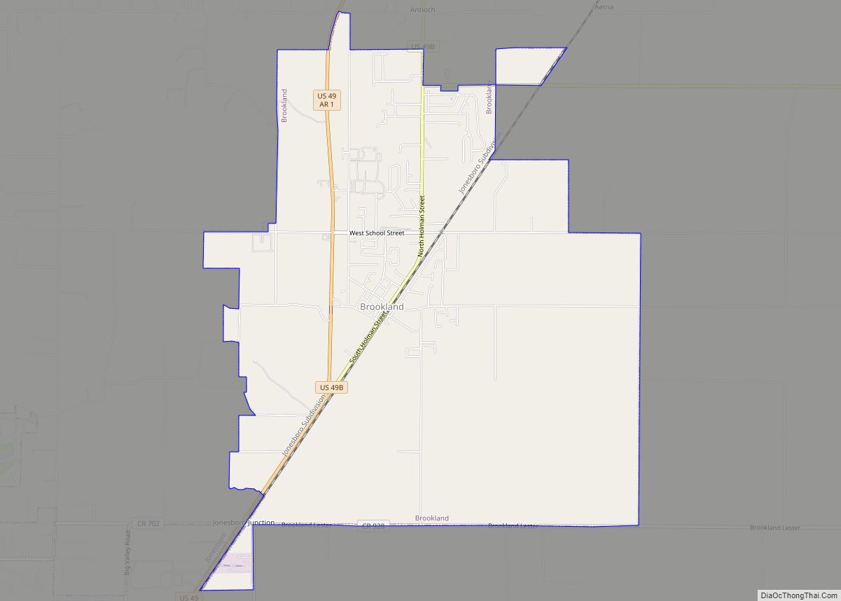
Online Interactive Map
Click on ![]() to view map in "full screen" mode.
to view map in "full screen" mode.
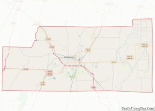
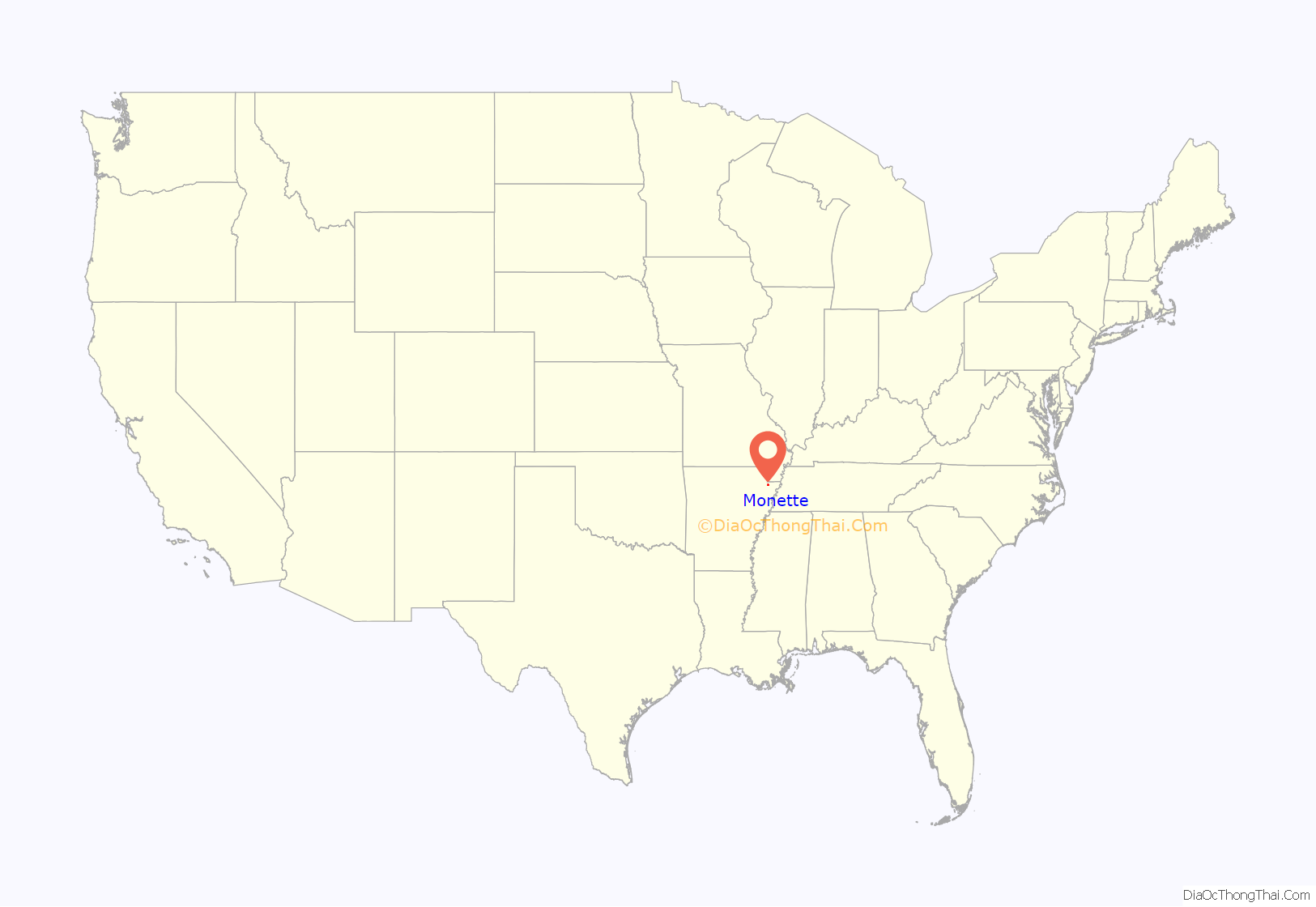
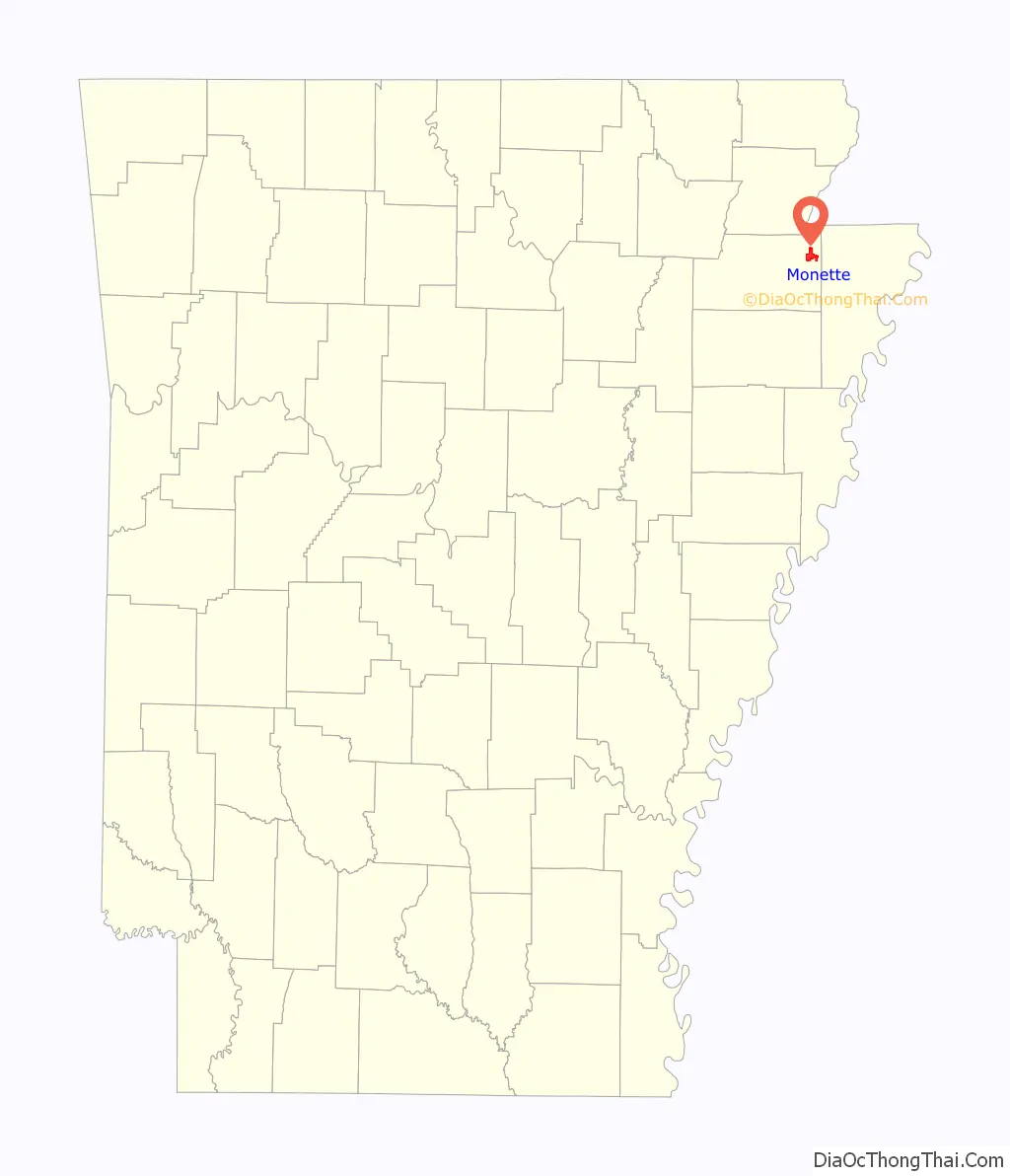
Monette location map. Where is Monette city?
History
On December 10, 2021, a large and violent EF4 tornado part of a large tornado outbreak struck Monette. One person was killed at a nursing home on the north side of town.
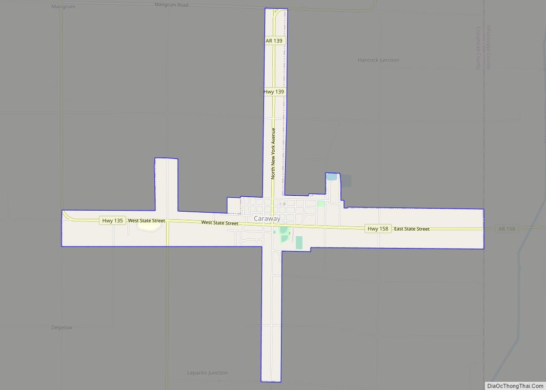
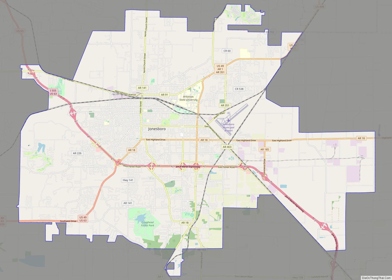
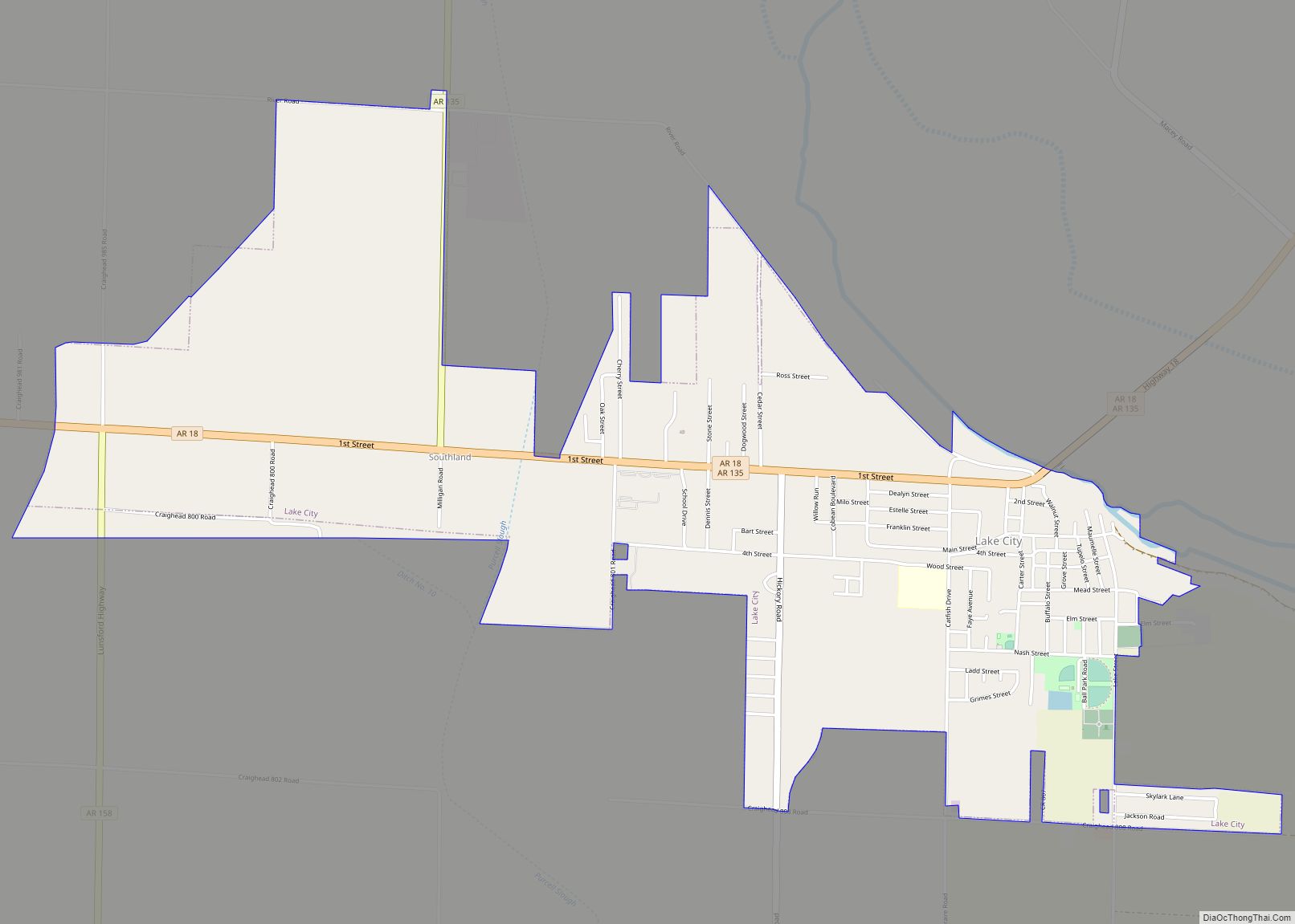
Monette Road Map

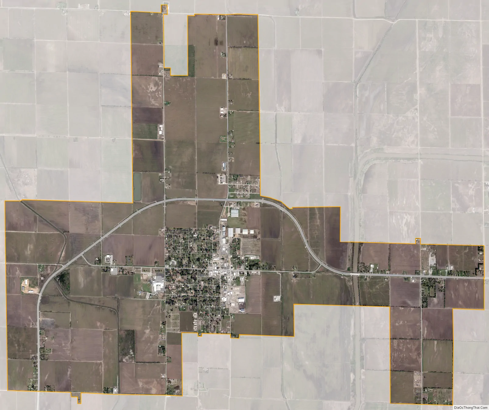
Monette city Satellite Map
Geography
Monette is located in eastern Craighead County at 35°53′27″N 90°20′39″W / 35.89083°N 90.34417°W / 35.89083; -90.34417 (35.890969, -90.344247). According to the United States Census Bureau, the city has a total area of 6.3 square miles (16.3 km), of which 0.012 square miles (0.03 km), or 0.19%, is water.
Ecologically, Monette is located within the St. Francis Lowlands ecoregion within the larger Mississippi Alluvial Plain. The St. Francis Lowlands are a flat region mostly covered with row crop agriculture today, though also containing sand blows and sunken lands remaining from the 1811–12 New Madrid earthquakes. Waterways have mostly been channelized, causing loss of aquatic and riparian wildlife habitat. The St. Francis Sunken Lands Wildlife Management Area, which preserves some of the bottomland hardwood forest typical of this ecoregion prior to development for row agriculture lies just west of Monette along the St. Francis River.
List of highways
- Highway 18
- Highway 139
See also
Map of Arkansas State and its subdivision:- Arkansas
- Ashley
- Baxter
- Benton
- Boone
- Bradley
- Calhoun
- Carroll
- Chicot
- Clark
- Clay
- Cleburne
- Cleveland
- Columbia
- Conway
- Craighead
- Crawford
- Crittenden
- Cross
- Dallas
- Desha
- Drew
- Faulkner
- Franklin
- Fulton
- Garland
- Grant
- Greene
- Hempstead
- Hot Spring
- Howard
- Independence
- Izard
- Jackson
- Jefferson
- Johnson
- Lafayette
- Lawrence
- Lee
- Lincoln
- Little River
- Logan
- Lonoke
- Madison
- Marion
- Miller
- Mississippi
- Monroe
- Montgomery
- Nevada
- Newton
- Ouachita
- Perry
- Phillips
- Pike
- Poinsett
- Polk
- Pope
- Prairie
- Pulaski
- Randolph
- Saint Francis
- Saline
- Scott
- Searcy
- Sebastian
- Sevier
- Sharp
- Stone
- Union
- Van Buren
- Washington
- White
- Woodruff
- Yell
- Alabama
- Alaska
- Arizona
- Arkansas
- California
- Colorado
- Connecticut
- Delaware
- District of Columbia
- Florida
- Georgia
- Hawaii
- Idaho
- Illinois
- Indiana
- Iowa
- Kansas
- Kentucky
- Louisiana
- Maine
- Maryland
- Massachusetts
- Michigan
- Minnesota
- Mississippi
- Missouri
- Montana
- Nebraska
- Nevada
- New Hampshire
- New Jersey
- New Mexico
- New York
- North Carolina
- North Dakota
- Ohio
- Oklahoma
- Oregon
- Pennsylvania
- Rhode Island
- South Carolina
- South Dakota
- Tennessee
- Texas
- Utah
- Vermont
- Virginia
- Washington
- West Virginia
- Wisconsin
- Wyoming