Morrison Bluff is a town in Logan County, Arkansas, United States. The population was 64 at the 2010 census and an estimated 81 in 2017.
| Name: | Morrison Bluff town |
|---|---|
| LSAD Code: | 43 |
| LSAD Description: | town (suffix) |
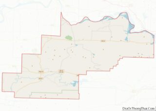
| State: | Arkansas |
| County: | Logan County |
| Elevation: | 381 ft (116 m) |
| Total Area: | 1.35 sq mi (3.51 km²) |
| Land Area: | 1.34 sq mi (3.47 km²) |
| Water Area: | 0.01 sq mi (0.04 km²) |
| Total Population: | 78 |
| Population Density: | 58.17/sq mi (22.46/km²) |
| FIPS code: | 0547030 |
| GNISfeature ID: | 2406197 |
Online Interactive Map
Click on ![]() to view map in "full screen" mode.
to view map in "full screen" mode.
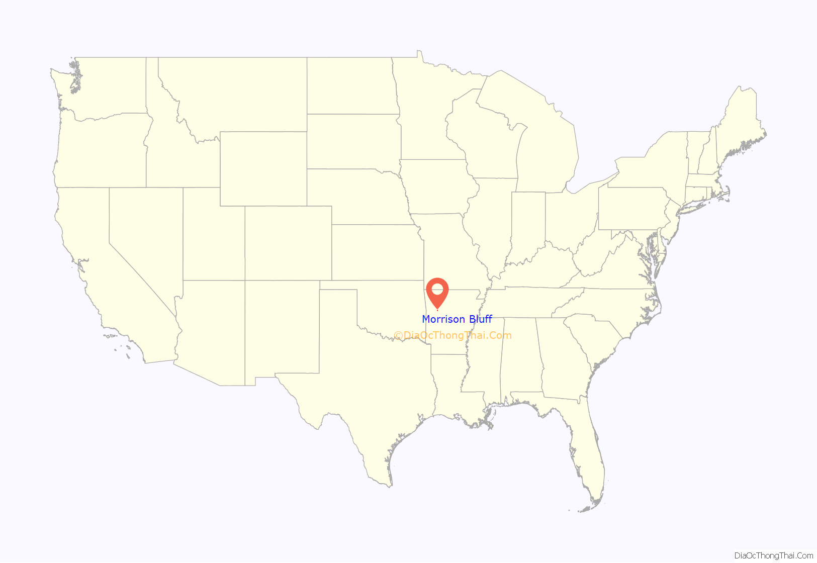
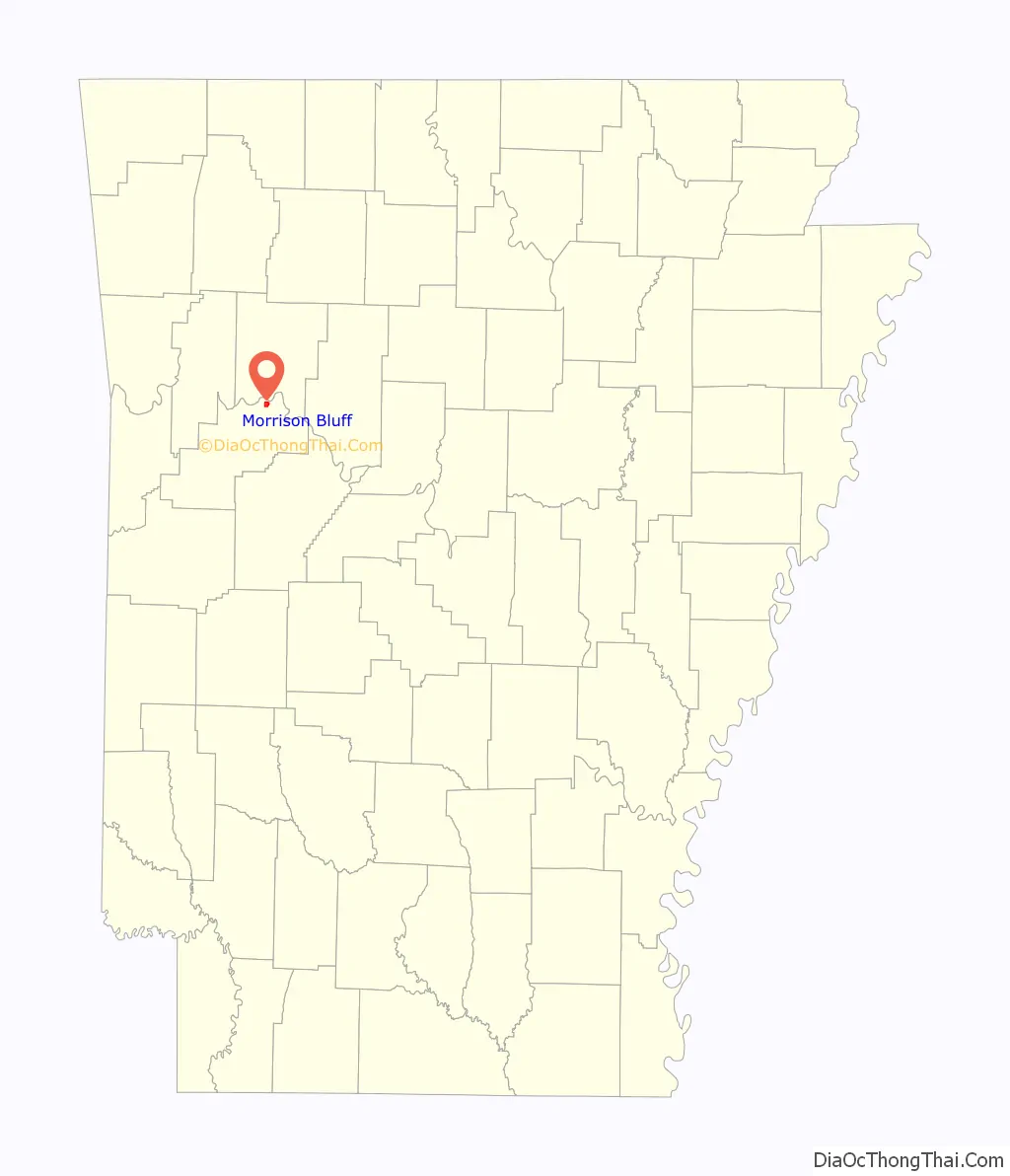
Morrison Bluff location map. Where is Morrison Bluff town?
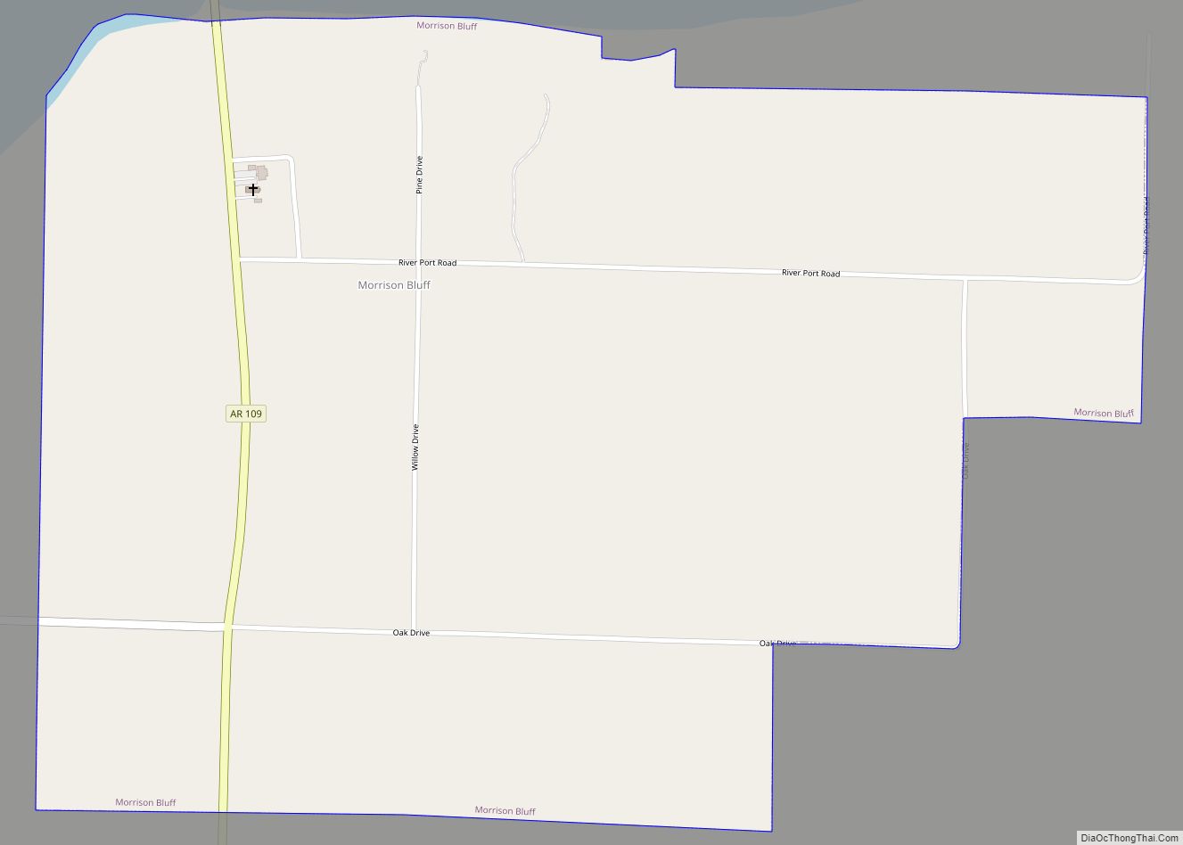
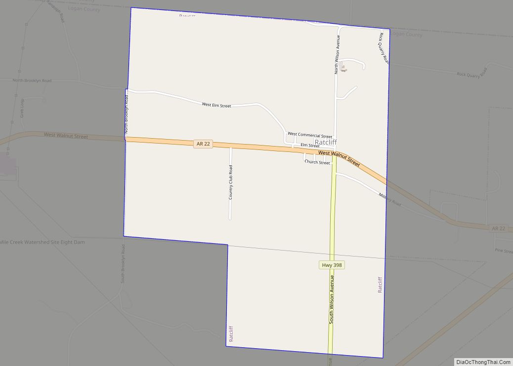
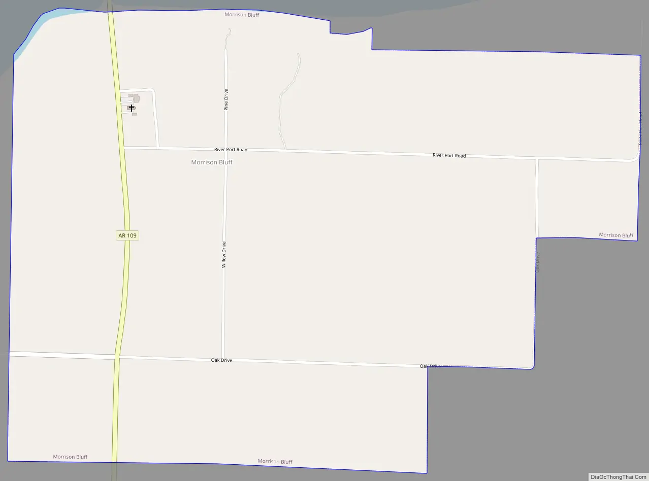
Morrison Bluff Road Map
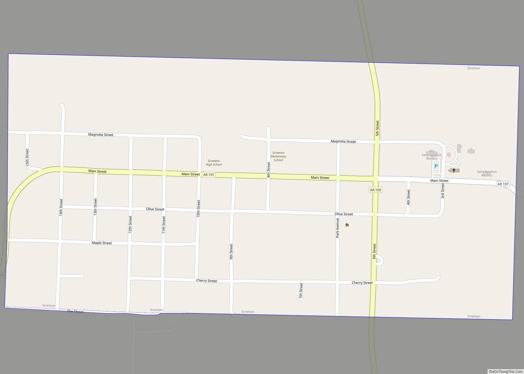
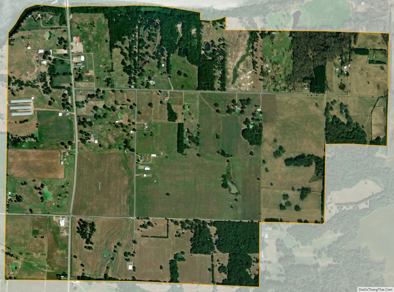
Morrison Bluff city Satellite Map
Geography
Morrison Bluff is located in northern Logan County and is bordered to the north by an arm of Lake Dardanelle, an impoundment on the Arkansas River. State Highway 109 passes through the town, leading south 2 miles (3 km) to Scranton and north across the Arkansas River 5 miles (8 km) to U.S. Route 64 at a point 4 miles (6 km) west of Clarksville.
According to the United States Census Bureau, the town of Morrison Bluff has a total area of 1.3 square miles (3.4 km), of which 0.02 square miles (0.04 km), or 1.18%, are water.
See also
Map of Arkansas State and its subdivision:- Arkansas
- Ashley
- Baxter
- Benton
- Boone
- Bradley
- Calhoun
- Carroll
- Chicot
- Clark
- Clay
- Cleburne
- Cleveland
- Columbia
- Conway
- Craighead
- Crawford
- Crittenden
- Cross
- Dallas
- Desha
- Drew
- Faulkner
- Franklin
- Fulton
- Garland
- Grant
- Greene
- Hempstead
- Hot Spring
- Howard
- Independence
- Izard
- Jackson
- Jefferson
- Johnson
- Lafayette
- Lawrence
- Lee
- Lincoln
- Little River
- Logan
- Lonoke
- Madison
- Marion
- Miller
- Mississippi
- Monroe
- Montgomery
- Nevada
- Newton
- Ouachita
- Perry
- Phillips
- Pike
- Poinsett
- Polk
- Pope
- Prairie
- Pulaski
- Randolph
- Saint Francis
- Saline
- Scott
- Searcy
- Sebastian
- Sevier
- Sharp
- Stone
- Union
- Van Buren
- Washington
- White
- Woodruff
- Yell
- Alabama
- Alaska
- Arizona
- Arkansas
- California
- Colorado
- Connecticut
- Delaware
- District of Columbia
- Florida
- Georgia
- Hawaii
- Idaho
- Illinois
- Indiana
- Iowa
- Kansas
- Kentucky
- Louisiana
- Maine
- Maryland
- Massachusetts
- Michigan
- Minnesota
- Mississippi
- Missouri
- Montana
- Nebraska
- Nevada
- New Hampshire
- New Jersey
- New Mexico
- New York
- North Carolina
- North Dakota
- Ohio
- Oklahoma
- Oregon
- Pennsylvania
- Rhode Island
- South Carolina
- South Dakota
- Tennessee
- Texas
- Utah
- Vermont
- Virginia
- Washington
- West Virginia
- Wisconsin
- Wyoming