Norphlet is a city in Union County, Arkansas, United States. As of the 2010 census the population stood at 844.
| Name: | Norphlet city |
|---|---|
| LSAD Code: | 25 |
| LSAD Description: | city (suffix) |
| State: | Arkansas |
| County: | Union County |
| Elevation: | 180 ft (55 m) |
| Total Area: | 2.04 sq mi (5.29 km²) |
| Land Area: | 2.04 sq mi (5.29 km²) |
| Water Area: | 0.00 sq mi (0.00 km²) |
| Total Population: | 766 |
| Population Density: | 374.76/sq mi (144.70/km²) |
| ZIP code: | 71759 |
| Area code: | 870 |
| FIPS code: | 0550060 |
| GNISfeature ID: | 0058272 |
| Website: | www.cityofnorphlet.com |
Online Interactive Map
Click on ![]() to view map in "full screen" mode.
to view map in "full screen" mode.
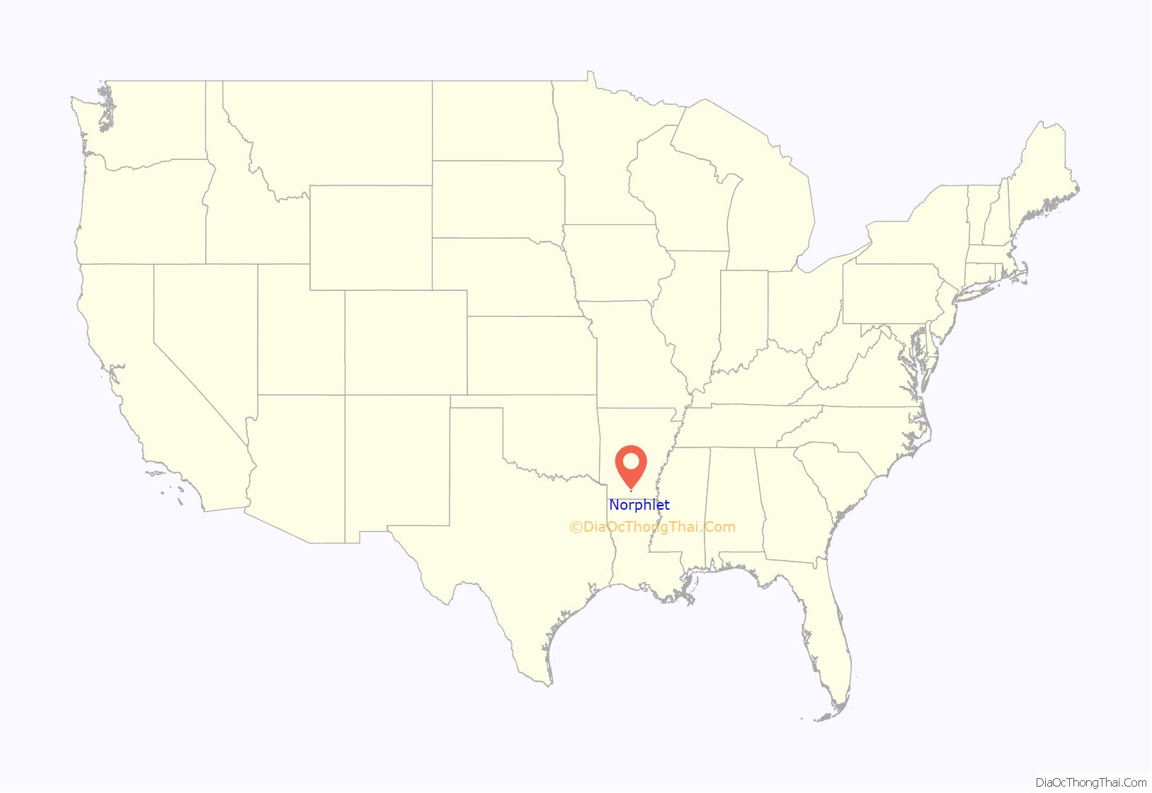
Norphlet location map. Where is Norphlet city?
History
Norphlet was called Jesse in the 1880s. The Post Office was created in 1891. The town originally centered around William G. Miles’s Sawmill. The town was named for Nauphlet Goodwin. The name of the town was misspelled by the Postal Department when the Post Office was created. The word, Nauphlet, was written in long hand and looked like Norphlet to the people in the Postal Department. So, the papers for the post office were issued for Norphlet.
Oil was discovered at Norphlet in 1922. The formation in which the oil was discovered led to ‘Norphlet’ becoming a geological term – a Norphlet Formation is a Jurassic Sandstone Formation.
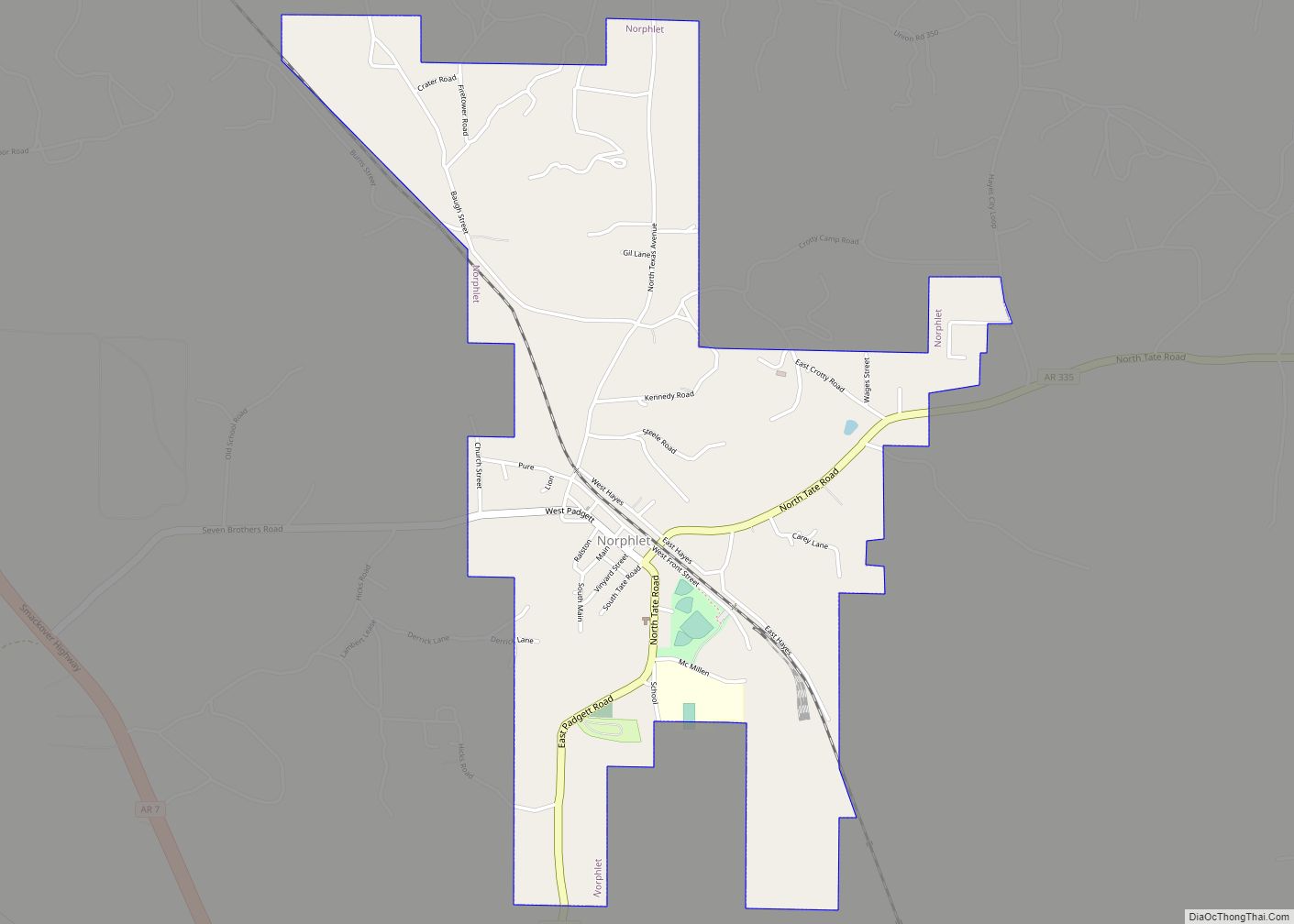
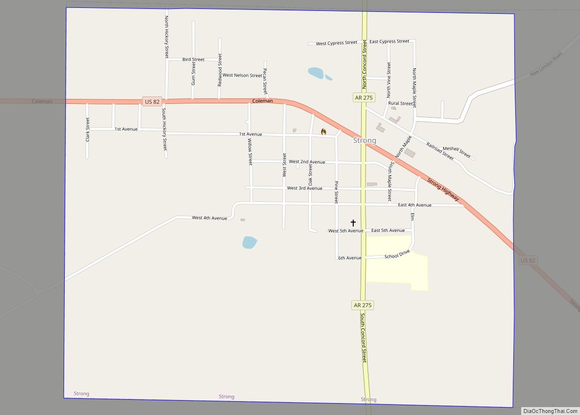
Norphlet Road Map
Norphlet city Satellite Map
Geography
Norphlet is located at 33°19′4″N 92°39′50″W / 33.31778°N 92.66389°W / 33.31778; -92.66389 (33.317824, -92.663985).
According to the United States Census Bureau, the city has a total area of 2.1 square miles (5.4 km), all land.
See also
Map of Arkansas State and its subdivision:- Arkansas
- Ashley
- Baxter
- Benton
- Boone
- Bradley
- Calhoun
- Carroll
- Chicot
- Clark
- Clay
- Cleburne
- Cleveland
- Columbia
- Conway
- Craighead
- Crawford
- Crittenden
- Cross
- Dallas
- Desha
- Drew
- Faulkner
- Franklin
- Fulton
- Garland
- Grant
- Greene
- Hempstead
- Hot Spring
- Howard
- Independence
- Izard
- Jackson
- Jefferson
- Johnson
- Lafayette
- Lawrence
- Lee
- Lincoln
- Little River
- Logan
- Lonoke
- Madison
- Marion
- Miller
- Mississippi
- Monroe
- Montgomery
- Nevada
- Newton
- Ouachita
- Perry
- Phillips
- Pike
- Poinsett
- Polk
- Pope
- Prairie
- Pulaski
- Randolph
- Saint Francis
- Saline
- Scott
- Searcy
- Sebastian
- Sevier
- Sharp
- Stone
- Union
- Van Buren
- Washington
- White
- Woodruff
- Yell
- Alabama
- Alaska
- Arizona
- Arkansas
- California
- Colorado
- Connecticut
- Delaware
- District of Columbia
- Florida
- Georgia
- Hawaii
- Idaho
- Illinois
- Indiana
- Iowa
- Kansas
- Kentucky
- Louisiana
- Maine
- Maryland
- Massachusetts
- Michigan
- Minnesota
- Mississippi
- Missouri
- Montana
- Nebraska
- Nevada
- New Hampshire
- New Jersey
- New Mexico
- New York
- North Carolina
- North Dakota
- Ohio
- Oklahoma
- Oregon
- Pennsylvania
- Rhode Island
- South Carolina
- South Dakota
- Tennessee
- Texas
- Utah
- Vermont
- Virginia
- Washington
- West Virginia
- Wisconsin
- Wyoming
