Searcy (/ˈsɜːrsi/ SUR-see) is the largest city and county seat of White County, Arkansas, United States. According to 2019 Census Bureau estimates, the population of the city is 23,767. It is the principal city of the Searcy, AR Micropolitan Statistical Area which encompasses all of White County. The city takes its name from Richard Searcy, a judge for the Superior Court of the Arkansas Territory. A college town, Searcy is the home of Harding University and ASU-Searcy.
| Name: | Searcy city |
|---|---|
| LSAD Code: | 25 |
| LSAD Description: | city (suffix) |
| State: | Arkansas |
| County: | White County |
| Founded: | 1838 |
| Incorporated: | 1851 |
| Elevation: | 245 ft (80 m) |
| Total Area: | 18.41 sq mi (47.69 km²) |
| Land Area: | 18.32 sq mi (47.44 km²) |
| Water Area: | 0.10 sq mi (0.25 km²) |
| Total Population: | 22,937 |
| Population Density: | 1,252.22/sq mi (483.50/km²) |
| ZIP code: | 72143, 72145, 72149 |
| Area code: | 501 |
| FIPS code: | 0563020 |
| GNISfeature ID: | 0078309 |
| Website: | www.cityofsearcy.org |
Online Interactive Map
Click on ![]() to view map in "full screen" mode.
to view map in "full screen" mode.
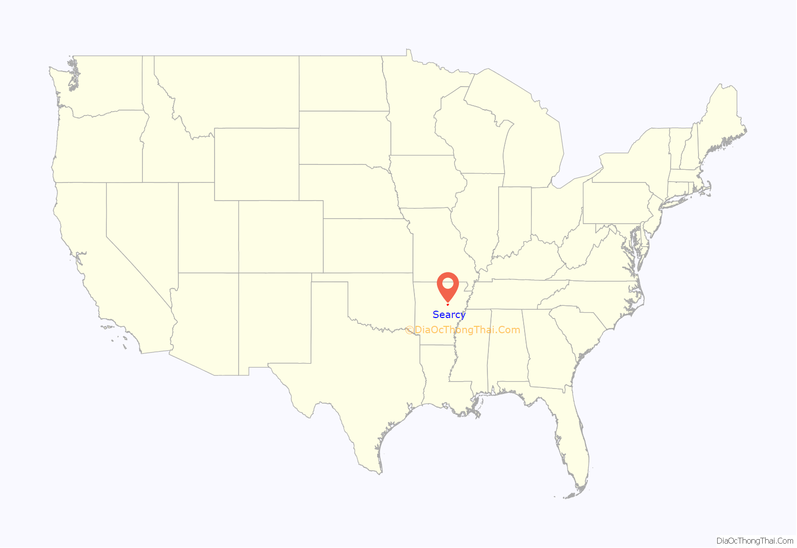
Searcy location map. Where is Searcy city?
History
Originally named White Sulphur Springs, the town’s name was changed in 1837, two years after White County was created. The state changed the county seat name to honor Richard Searcy (1794-1832), a prominent Arkansas Legislator.
The town contained a health spa from its conception until 1820, when the alum, chalybeate, and white sulphur springs for which the spa was known dried up.
Israel Moore, who had traveled west from Philadelphia, was in charge of laying out Searcy’s original streets, and “he proceeded to name the major streets of Searcy for those of downtown Old Philadelphia near Independence Hall; Race, Arch, Market, Vine, Spring, and the tree-honoring streets of Cherry, Spruce, Locust and Pine.” In 1957, Searcy named Moore Street after the 19th-century founder.
Spring Street also has a namesake in Old City Philadelphia, but along with downtown Searcy’s Spring Park, this refers to the early history of the Searcy area, when the community was known as White Sulphur Springs. As early as 1834, local springs with purported therapeutic properties initially drew visitors to the area, similar to the popular attraction to Hot Springs.
During the American Civil War, the Battle of Whitney’s Lane was fought near Searcy, although the exact site is disputed. Searcy Landing, on the Little Red River, is the final resting place for some Union Army soldiers.
Searcy was incorporated on August 6, 1851,
The Smyrna Methodist Church located just to the west of Searcy is the oldest known church building still standing in the state. It was built in 1856 according to research done by David Stahle of the University of Arkansas Tree Ring Laboratory.
Searcy is also home to the oldest operational courthouse in the state, the White County Courthouse. Originally the home of the first permanent resident, David Crise, the courthouse was completed in 1837. After being replaced two times, the last rendition was built in 1871. The most recent courthouse has a clocktower with a model of the Liberty Bell dating from 1855.
Searcy was a stop on the defunct Missouri and North Arkansas Railroad, which provided passenger and freight service from 1906 to 1946 from Joplin, Missouri, to Helena in Phillips County in eastern Arkansas.
On August 9, 1965, a fire killed 53 civilian workers in a Titan II missile silo north of Searcy. It was one of the largest industrial accidents in American history.
Despite having lost many factory jobs in the late 20th century, Searcy experienced a brief economic revitalization in the past decade from the leasing of mineral rights to natural gas companies. Almost all drilling in the Fayetteville Shale area has since ceased. Some residents express concern about the deleterious environmental effect of the extensive drilling projects that have taken place.
In 2019, the city of Searcy was the winner of the “Small Business Revolution on Main Street” award of $500,000 to revamp six small businesses and a season featuring these renovations on the Hulu show hosted by Amanda Brinkman.
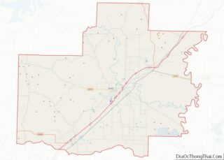
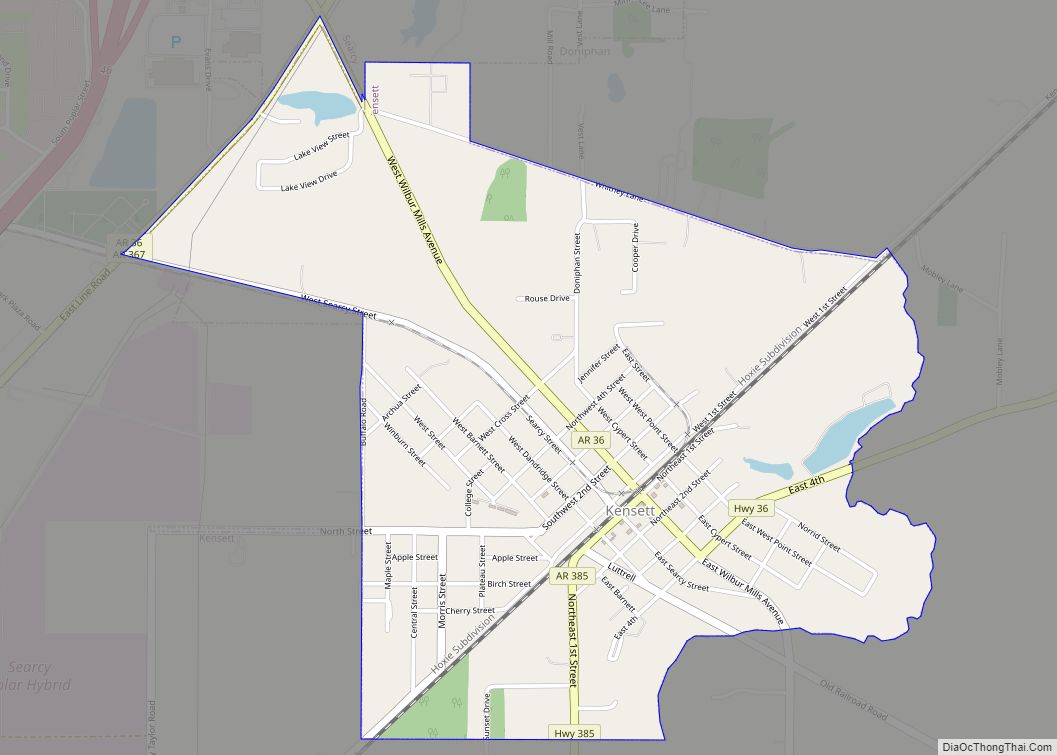
Searcy Road Map
Searcy city Satellite Map
Geography
According to the United States Census Bureau, the city has a total area of 14.8 square miles (38 km), of which 14.7 square miles (38 km) is land and 0.1 square miles (0.26 km) (0.54%) is water.
Climate
The climate in this area is characterized by hot, humid summers and generally mild to cool winters. According to the Köppen Climate Classification system, Searcy has a humid subtropical climate, abbreviated “Cfa” on climate maps.
See also
Map of Arkansas State and its subdivision:- Arkansas
- Ashley
- Baxter
- Benton
- Boone
- Bradley
- Calhoun
- Carroll
- Chicot
- Clark
- Clay
- Cleburne
- Cleveland
- Columbia
- Conway
- Craighead
- Crawford
- Crittenden
- Cross
- Dallas
- Desha
- Drew
- Faulkner
- Franklin
- Fulton
- Garland
- Grant
- Greene
- Hempstead
- Hot Spring
- Howard
- Independence
- Izard
- Jackson
- Jefferson
- Johnson
- Lafayette
- Lawrence
- Lee
- Lincoln
- Little River
- Logan
- Lonoke
- Madison
- Marion
- Miller
- Mississippi
- Monroe
- Montgomery
- Nevada
- Newton
- Ouachita
- Perry
- Phillips
- Pike
- Poinsett
- Polk
- Pope
- Prairie
- Pulaski
- Randolph
- Saint Francis
- Saline
- Scott
- Searcy
- Sebastian
- Sevier
- Sharp
- Stone
- Union
- Van Buren
- Washington
- White
- Woodruff
- Yell
- Alabama
- Alaska
- Arizona
- Arkansas
- California
- Colorado
- Connecticut
- Delaware
- District of Columbia
- Florida
- Georgia
- Hawaii
- Idaho
- Illinois
- Indiana
- Iowa
- Kansas
- Kentucky
- Louisiana
- Maine
- Maryland
- Massachusetts
- Michigan
- Minnesota
- Mississippi
- Missouri
- Montana
- Nebraska
- Nevada
- New Hampshire
- New Jersey
- New Mexico
- New York
- North Carolina
- North Dakota
- Ohio
- Oklahoma
- Oregon
- Pennsylvania
- Rhode Island
- South Carolina
- South Dakota
- Tennessee
- Texas
- Utah
- Vermont
- Virginia
- Washington
- West Virginia
- Wisconsin
- Wyoming
