Smackover is a small city in northern Union County, Arkansas, United States. According to the 2010 census, the population was at 1,865. It had a large oil boom in the 1920s, with production continuing for some time.
| Name: | Smackover city |
|---|---|
| LSAD Code: | 25 |
| LSAD Description: | city (suffix) |
| State: | Arkansas |
| County: | Union County |
| Elevation: | 121 ft (37 m) |
| Total Area: | 4.35 sq mi (11.26 km²) |
| Land Area: | 4.35 sq mi (11.26 km²) |
| Water Area: | 0.00 sq mi (0.00 km²) |
| Total Population: | 1,630 |
| Population Density: | 374.80/sq mi (144.71/km²) |
| ZIP code: | 71762 |
| Area code: | 870 |
| FIPS code: | 0564730 |
| Website: | smackover.org |
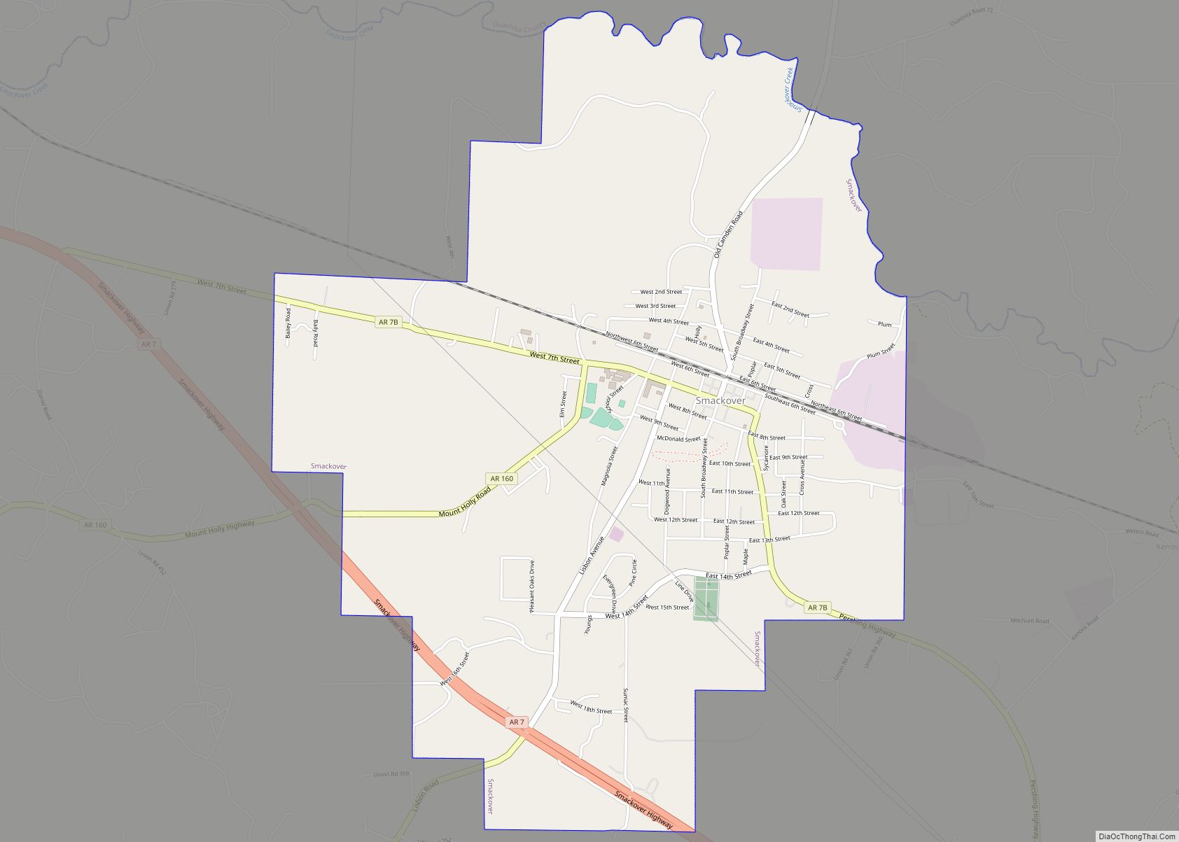
Online Interactive Map
Click on ![]() to view map in "full screen" mode.
to view map in "full screen" mode.
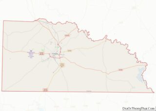
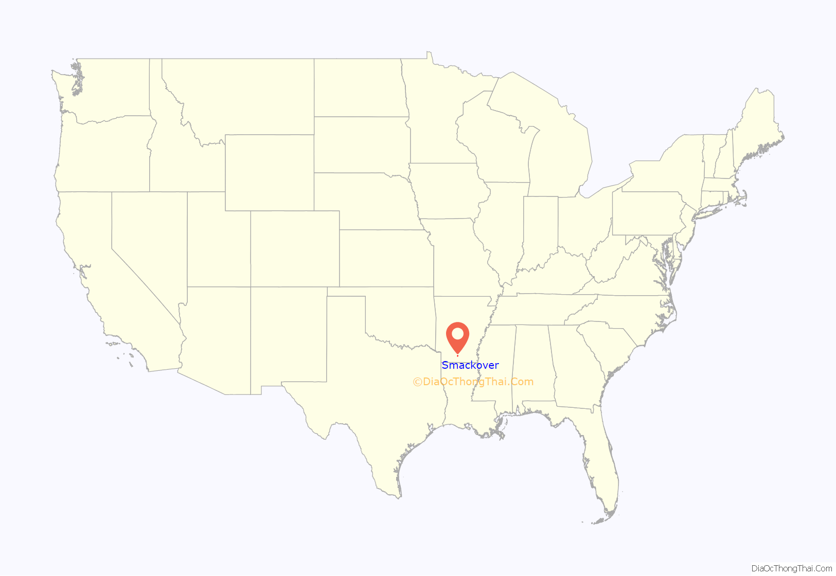
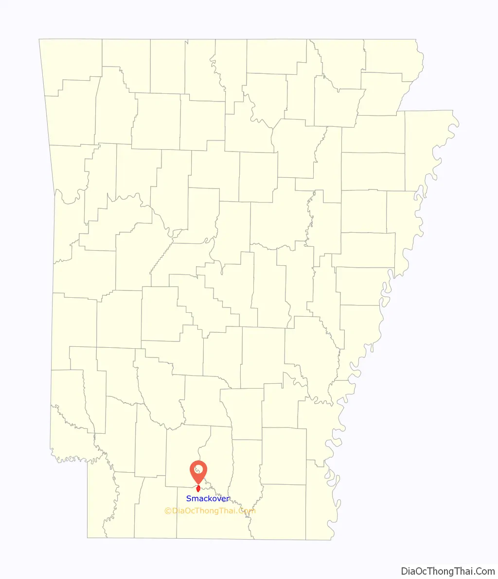
Smackover location map. Where is Smackover city?
History
In 1686, the French settlers called this area “Sumac Couvert”, which translates to “covered in sumac bushes”. This was transliterated, that is, phonetically Anglicized by the English-speaking settlers of the 19th century and later to the name “Smackover.”
The name Bayou de Chemin Couvert (Smackover Creek) first appeared in an April 5, 1789, letter written by the commandant of Fort Miro (Monroe, Louisiana) to the French territorial governor.
Oil was discovered in this area in 1922; it attracted national attention, speculators, and an economic boom. Smackover was incorporated in 1923. In the 1920s there was a large-scale oil industry in Smackover. The industry declined here and across southern Arkansas by the 1960s, at a cost of many jobs and major losses to the area economy.
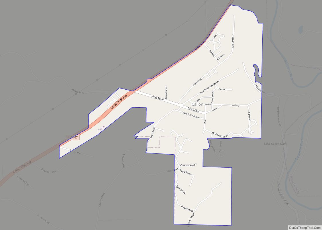
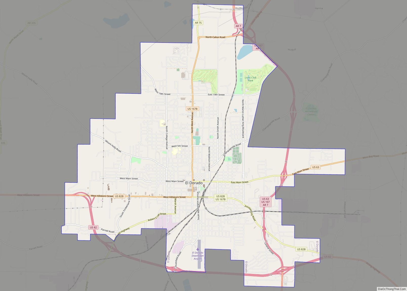
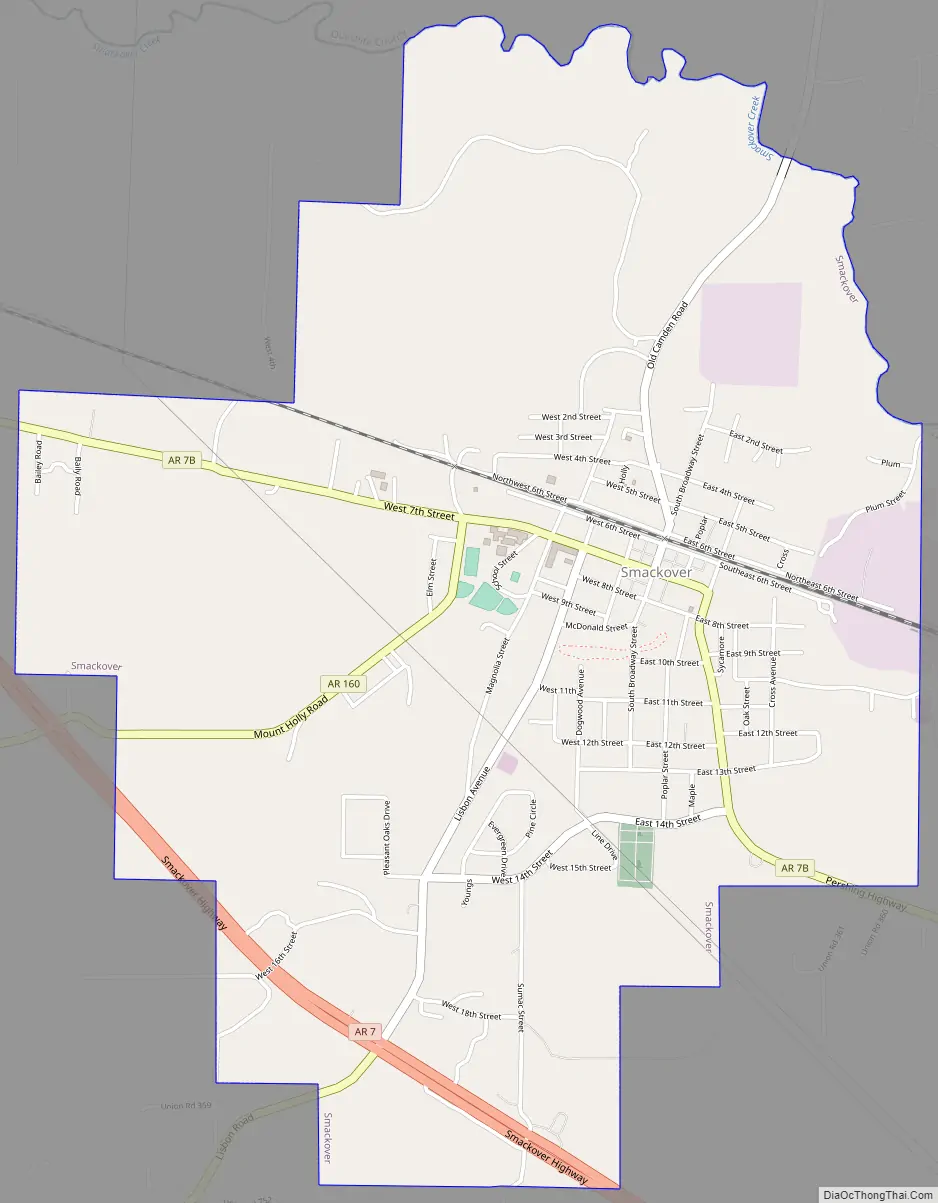
Smackover Road Map
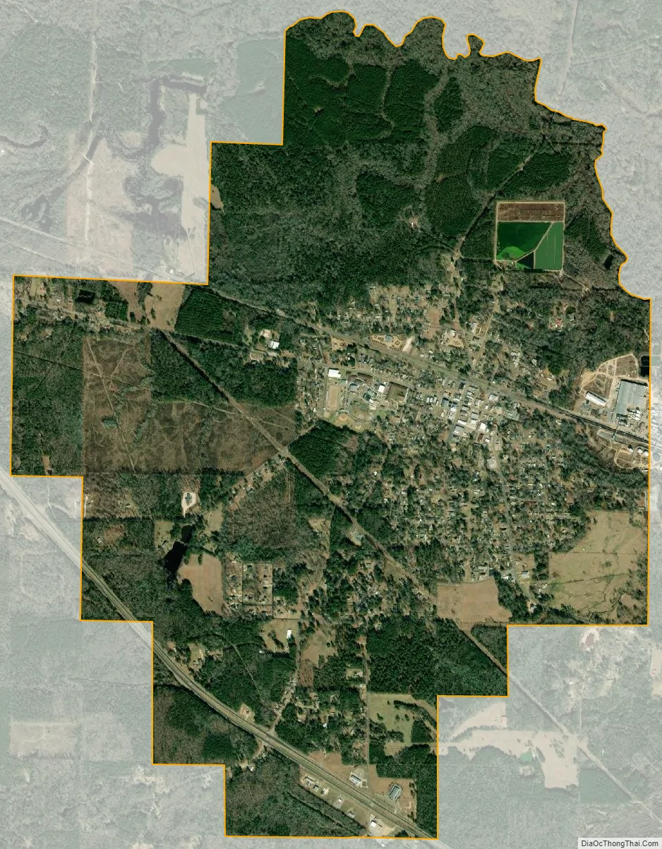
Smackover city Satellite Map
Geography
The city is in northern Union County along Smackover Creek. El Dorado lies about ten miles to the south-southeast along Arkansas Route 7. According to the United States Census Bureau, the city has a total area of 4.2 square miles (11 km), all land.
Climate
The climate in this area is characterized by hot, humid summers and generally mild to cool winters. According to the Köppen Climate Classification system, Smackover has a humid subtropical climate, abbreviated “Cfa” on climate maps.
See also
Map of Arkansas State and its subdivision:- Arkansas
- Ashley
- Baxter
- Benton
- Boone
- Bradley
- Calhoun
- Carroll
- Chicot
- Clark
- Clay
- Cleburne
- Cleveland
- Columbia
- Conway
- Craighead
- Crawford
- Crittenden
- Cross
- Dallas
- Desha
- Drew
- Faulkner
- Franklin
- Fulton
- Garland
- Grant
- Greene
- Hempstead
- Hot Spring
- Howard
- Independence
- Izard
- Jackson
- Jefferson
- Johnson
- Lafayette
- Lawrence
- Lee
- Lincoln
- Little River
- Logan
- Lonoke
- Madison
- Marion
- Miller
- Mississippi
- Monroe
- Montgomery
- Nevada
- Newton
- Ouachita
- Perry
- Phillips
- Pike
- Poinsett
- Polk
- Pope
- Prairie
- Pulaski
- Randolph
- Saint Francis
- Saline
- Scott
- Searcy
- Sebastian
- Sevier
- Sharp
- Stone
- Union
- Van Buren
- Washington
- White
- Woodruff
- Yell
- Alabama
- Alaska
- Arizona
- Arkansas
- California
- Colorado
- Connecticut
- Delaware
- District of Columbia
- Florida
- Georgia
- Hawaii
- Idaho
- Illinois
- Indiana
- Iowa
- Kansas
- Kentucky
- Louisiana
- Maine
- Maryland
- Massachusetts
- Michigan
- Minnesota
- Mississippi
- Missouri
- Montana
- Nebraska
- Nevada
- New Hampshire
- New Jersey
- New Mexico
- New York
- North Carolina
- North Dakota
- Ohio
- Oklahoma
- Oregon
- Pennsylvania
- Rhode Island
- South Carolina
- South Dakota
- Tennessee
- Texas
- Utah
- Vermont
- Virginia
- Washington
- West Virginia
- Wisconsin
- Wyoming