St. Joe or Saint Joe is a town in Searcy County, Arkansas, United States. The population was 132 at the 2010 census.
| Name: | St. Joe town |
|---|---|
| LSAD Code: | 43 |
| LSAD Description: | town (suffix) |
| State: | Arkansas |
| County: | Searcy County |
| Elevation: | 778 ft (237 m) |
| Total Area: | 1.25 sq mi (3.23 km²) |
| Land Area: | 1.24 sq mi (3.22 km²) |
| Water Area: | 0.01 sq mi (0.01 km²) |
| Total Population: | 129 |
| Population Density: | 103.86/sq mi (40.11/km²) |
| ZIP code: | 72675 |
| Area code: | 870 |
| FIPS code: | 0562030 |
| GNISfeature ID: | 2407269 |
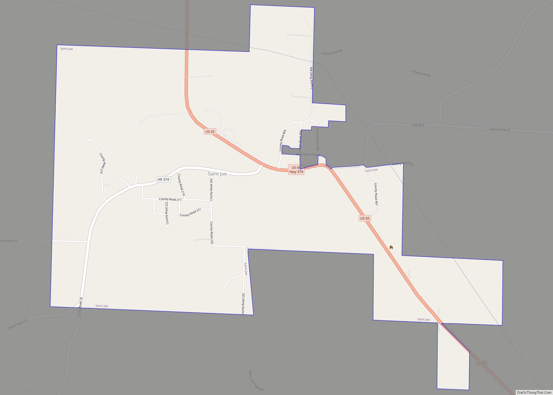
Online Interactive Map
Click on ![]() to view map in "full screen" mode.
to view map in "full screen" mode.
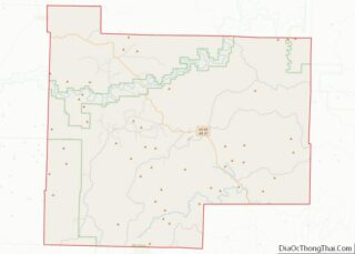
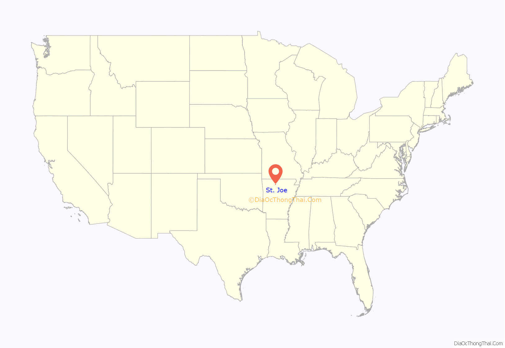
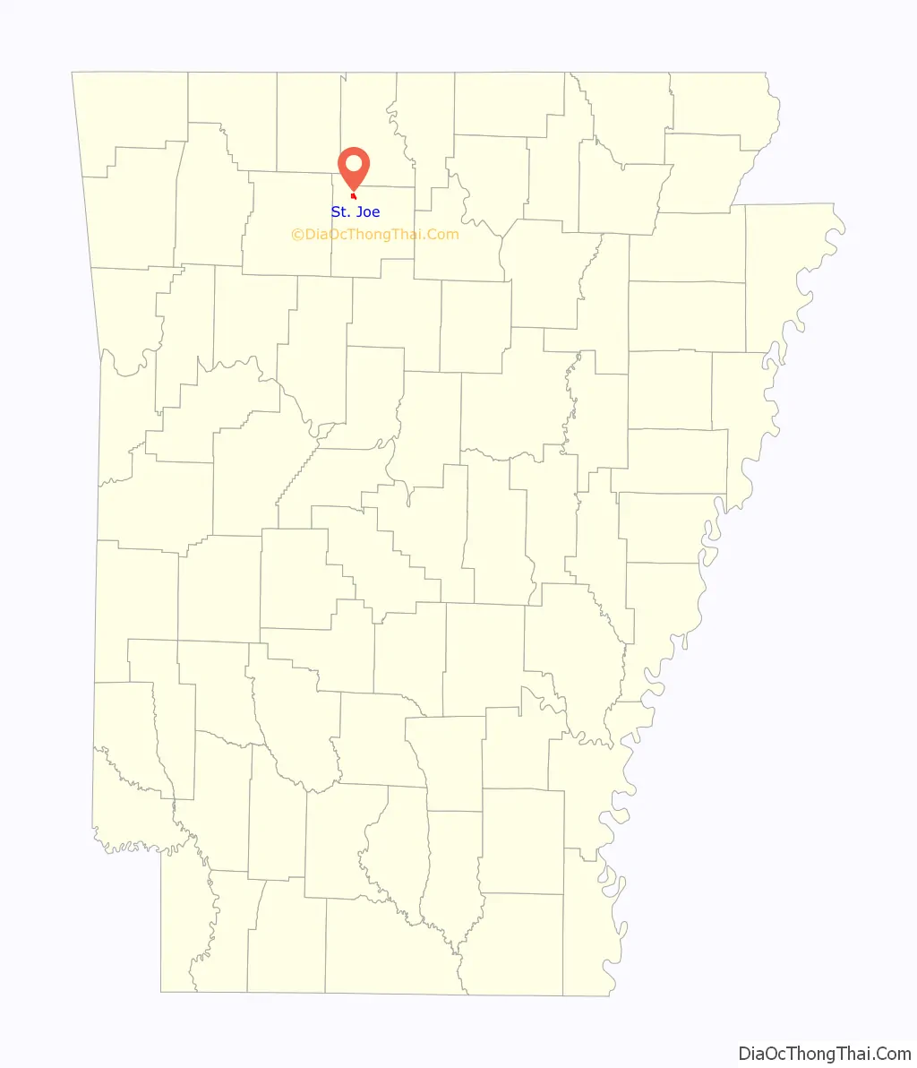
St. Joe location map. Where is St. Joe town?
History
The town of St. Joe, Arkansas, was founded a few miles north of the Buffalo River around 1860 by Bill Campbell, Ben Henley Sr., Dr. George Turney, Captain Harry Love, Decatur Robinson, and Matt Tyson. Mill Creek, near the current post office on U.S. Highway 65, was the original town location. Wagon trains traveled from the town to Springfield, Missouri, where produce was sold and goods were purchased and brought back to the stores. The History and Folklore of Searcy County Arkansas states that St. Joe was originally called Monkey Run. The area came by its current name around 1900, when six miners from St. Joseph, Missouri, received the largest quantity of mail to come into the post office. The outpost eventually became known as St. Joe, Arkansas. Mines, and rumors of mines, feature largely in the story of St. Joe’s past. It is worth noting that one of the nearby settlements is named Silver Hill. According to one fable, there is a “Lost Silver Mine” that was reputed to be fabulously rich in the late 1800s, believed to be located somewhere between Calf Creek and Bear Creek and worked by an Indian named Woodward. A news article in the Marshall Mountain Wave, printed Friday, May 30, 1924, stated that the lost silver mine had been found by a girl searching for a lost cow. The opening, covered by vegetation, was in a gulch. The silver and mining equipment was claimed to have been found, sitting for 75 years in the mine.
Historian James Johnson claims that the Lost Silver Mine does not exist, despite many stories. He says that there was an “Indian Woodard” whose descendants still live in Arkansas, but that most of the remaining legend is untrue.
The railroad arrived in St. Joe in 1902 and operated until 1946. Mined ores were shipped from St. Joe via the Missouri and North Arkansas Railroad, whose depot, faithfully restored to its early 20th-century appearance, sits on U.S. Highway 65 in the middle of the present town of St. Joe. The St. Joe Lime and Crushed Rock Company flourished with the mining boom, operating in a quarry just west of town. It is said that St. Joe set the standard for lime and crushed limestone throughout the world at this time. Johnson says that St. Joe’s heyday was during World War I with the mines.
It was during this period that the Henley Hotel, still standing to the north of Highway 65 across from the Depot, was built around 1914. St. Joe’s population was about 2,300 people from 1917 to 1921. The town boasted four stores, two hotels, a blacksmith, bank, mills, cafes, and post office. The first school was an 18’ x 18’ log building that was also the church and lodge hall. There was a grist mill and several physicians. The railroad’s arrival and Highway 65 being paved caused many businesses to relocate to highway frontage, what is now called “new town” by old-time residents. The Citizens’ Bank was in business from 1913 to 1933.
After World War I the price of zinc dropped and it was no longer economically feasible to continue mining. The railroad to some extent depended upon the mines, and when mining stopped, this hurt the railroad. The town continued as a local outlet for produce, cattle, cotton, and timber, but population and industry gradually diminished, and the railroad pulled out in 1946.
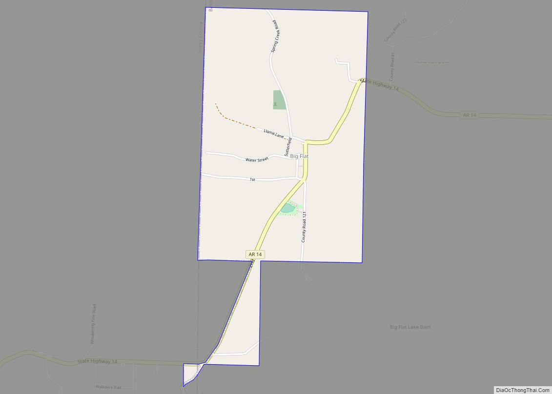
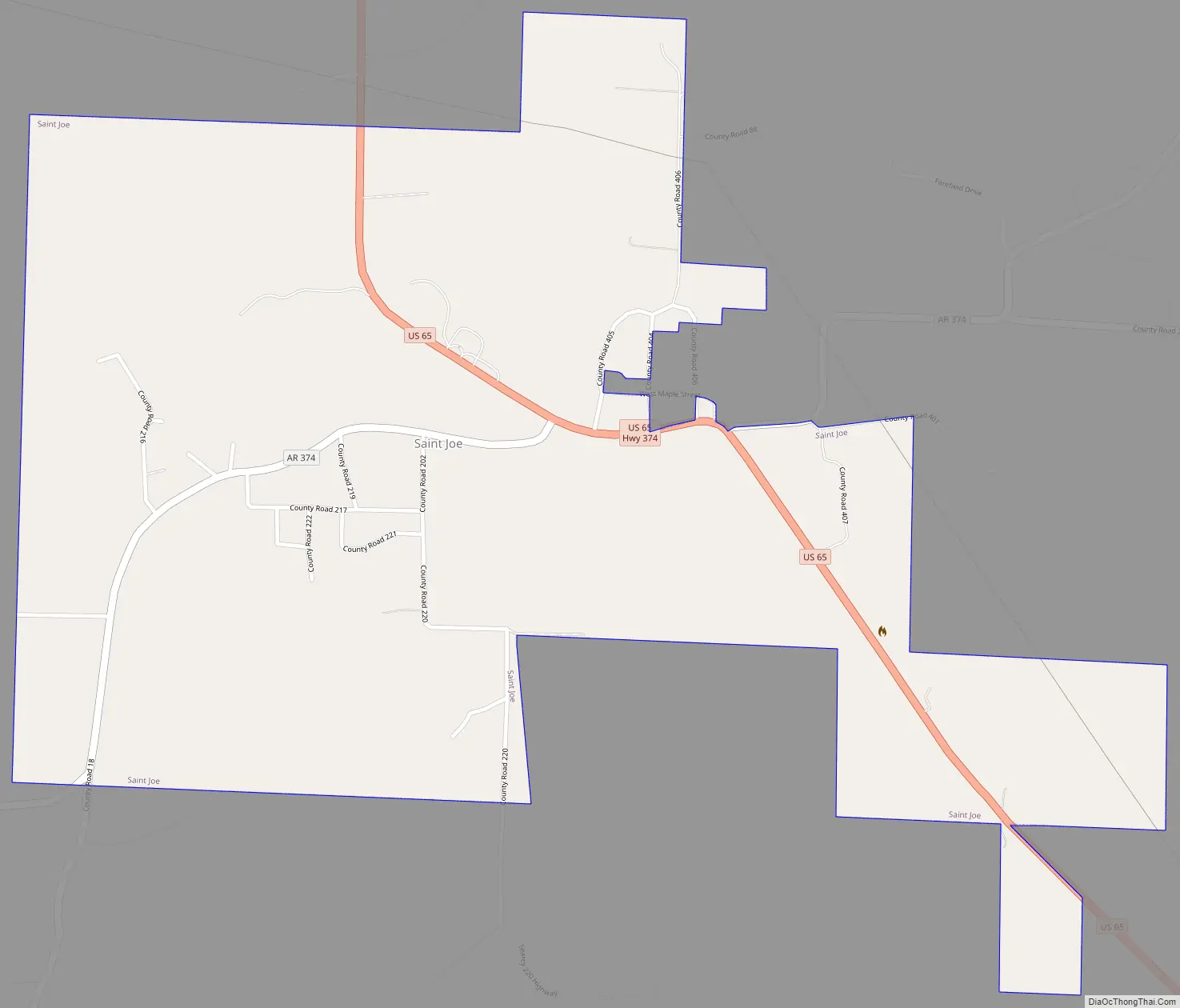
St. Joe Road Map
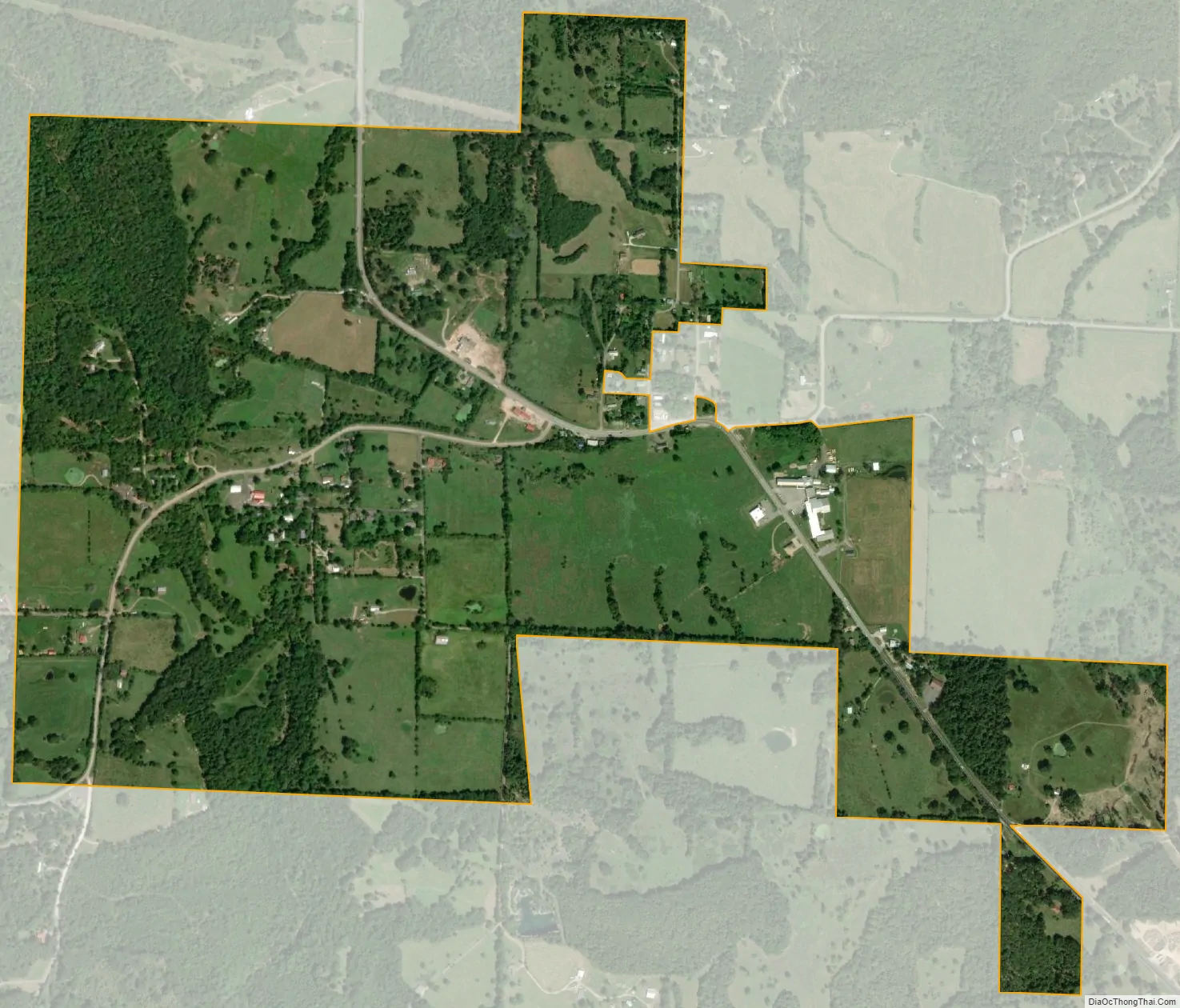
St. Joe city Satellite Map
Geography
According to the United States Census Bureau, the town has a total area of 0.8 square miles (2.1 km), all land.
See also
Map of Arkansas State and its subdivision:- Arkansas
- Ashley
- Baxter
- Benton
- Boone
- Bradley
- Calhoun
- Carroll
- Chicot
- Clark
- Clay
- Cleburne
- Cleveland
- Columbia
- Conway
- Craighead
- Crawford
- Crittenden
- Cross
- Dallas
- Desha
- Drew
- Faulkner
- Franklin
- Fulton
- Garland
- Grant
- Greene
- Hempstead
- Hot Spring
- Howard
- Independence
- Izard
- Jackson
- Jefferson
- Johnson
- Lafayette
- Lawrence
- Lee
- Lincoln
- Little River
- Logan
- Lonoke
- Madison
- Marion
- Miller
- Mississippi
- Monroe
- Montgomery
- Nevada
- Newton
- Ouachita
- Perry
- Phillips
- Pike
- Poinsett
- Polk
- Pope
- Prairie
- Pulaski
- Randolph
- Saint Francis
- Saline
- Scott
- Searcy
- Sebastian
- Sevier
- Sharp
- Stone
- Union
- Van Buren
- Washington
- White
- Woodruff
- Yell
- Alabama
- Alaska
- Arizona
- Arkansas
- California
- Colorado
- Connecticut
- Delaware
- District of Columbia
- Florida
- Georgia
- Hawaii
- Idaho
- Illinois
- Indiana
- Iowa
- Kansas
- Kentucky
- Louisiana
- Maine
- Maryland
- Massachusetts
- Michigan
- Minnesota
- Mississippi
- Missouri
- Montana
- Nebraska
- Nevada
- New Hampshire
- New Jersey
- New Mexico
- New York
- North Carolina
- North Dakota
- Ohio
- Oklahoma
- Oregon
- Pennsylvania
- Rhode Island
- South Carolina
- South Dakota
- Tennessee
- Texas
- Utah
- Vermont
- Virginia
- Washington
- West Virginia
- Wisconsin
- Wyoming