Subiaco is a town in Logan County, Arkansas, United States. The population was 572 at the 2010 census.
The town is named after Subiaco Abbey, which is located there, and which donated 80 acres (32 hectares) in the early 20th century for a townsite and railroad connection. Founded as a priory in 1878, Subiaco Abbey was established and named by Pope Leo XIII in 1891, after the Italian city of that name in the Lazio region, where St. Benedict founded his first monastery. The town celebrated the arrival of its first train in June 1909.
| Name: | Subiaco town |
|---|---|
| LSAD Code: | 43 |
| LSAD Description: | town (suffix) |
| State: | Arkansas |
| County: | Logan County |
| Elevation: | 486 ft (148 m) |
| Total Area: | 1.91 sq mi (4.94 km²) |
| Land Area: | 1.89 sq mi (4.90 km²) |
| Water Area: | 0.01 sq mi (0.04 km²) |
| Total Population: | 401 |
| Population Density: | 211.95/sq mi (81.84/km²) |
| ZIP code: | 72865 |
| Area code: | 479 |
| FIPS code: | 0567520 |
| GNISfeature ID: | 2406677 |
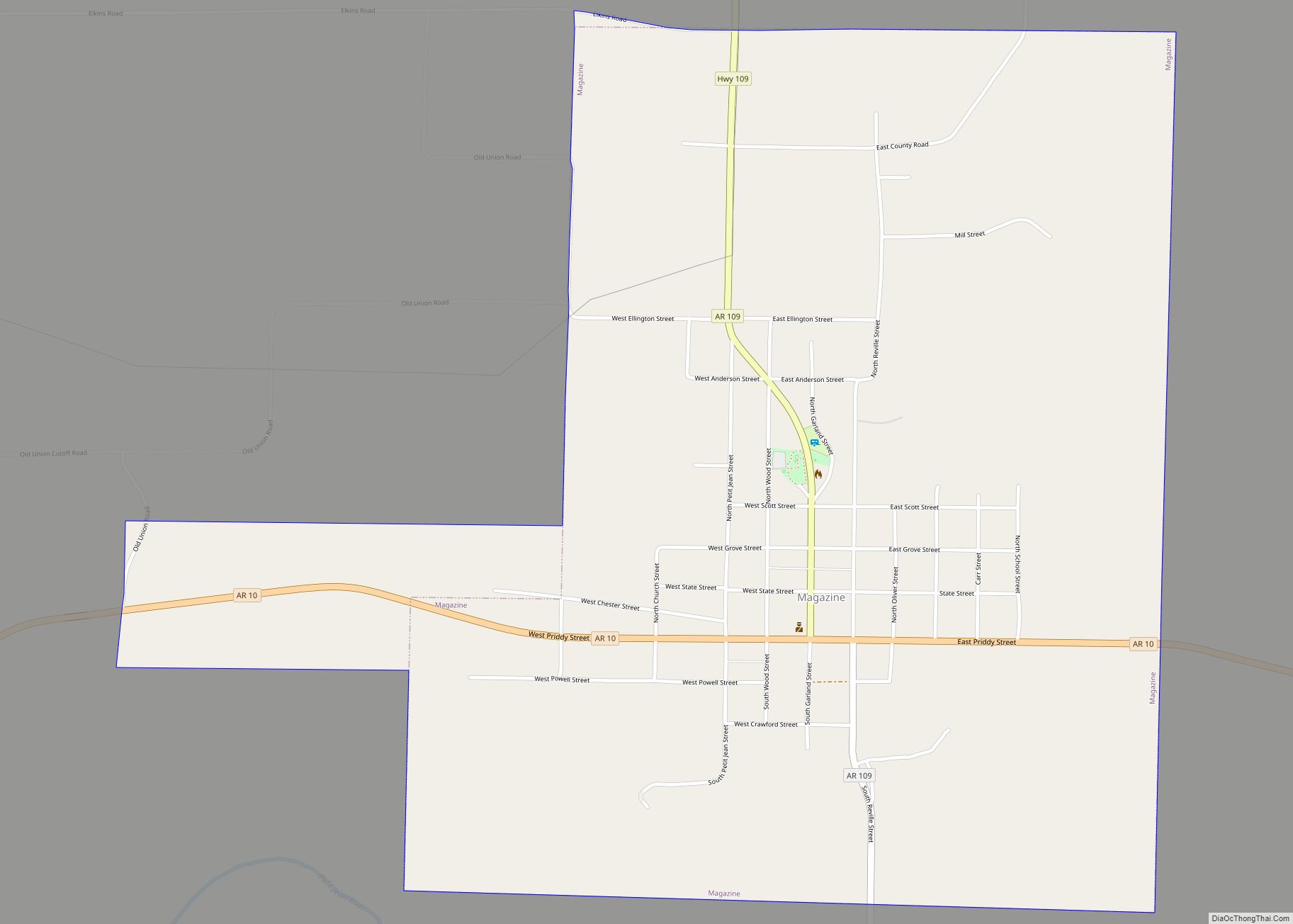
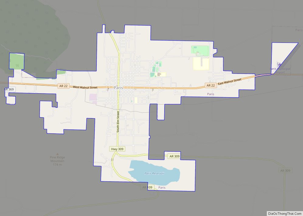
Online Interactive Map
Click on ![]() to view map in "full screen" mode.
to view map in "full screen" mode.
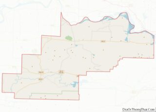
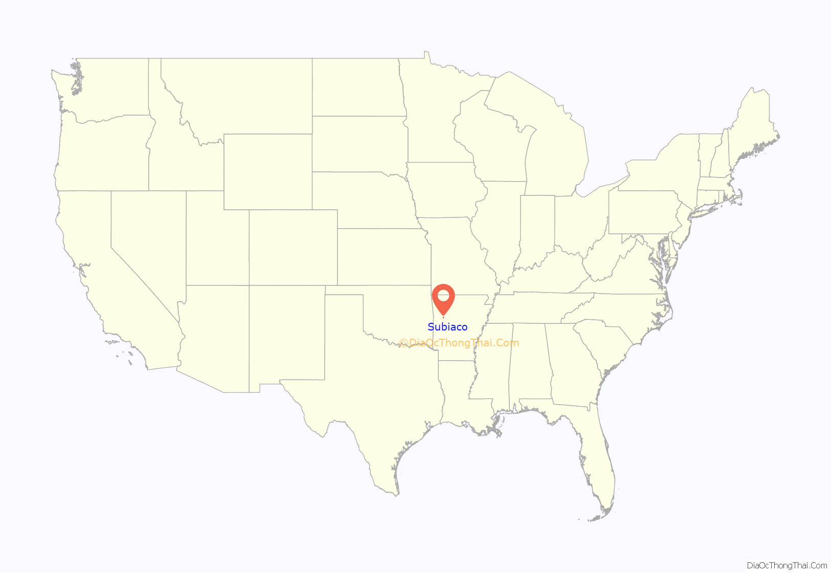
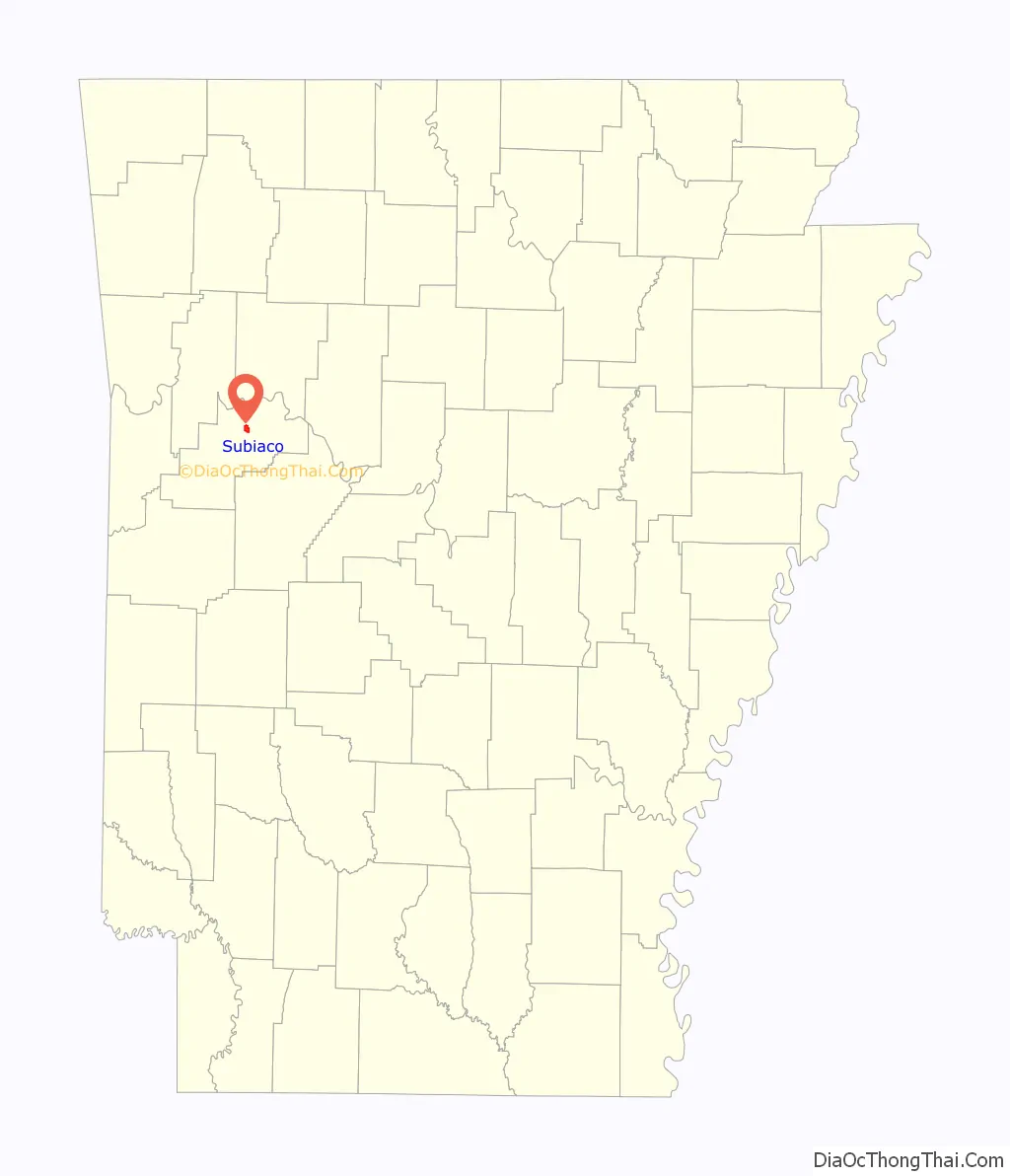
Subiaco location map. Where is Subiaco town?
History
The development of both the abbey and the town were related to the expansion of the Little Rock and Fort Smith Railroad (LR&FS) in the area in the late 19th century. In 1877, it owned thousands of acres in Arkansas through federal subsidies for railroad development, and wanted to attract German Catholic immigrants to the region as settlers. The railroad came to an agreement with Abbot Martin Marty, O.S.B., of St. Meinrad Archabbey in Indiana, to grant the abbey land in Logan County to establish a monastery and school to serve the hoped-for settlers. The railroad granted 640 acres (260 ha) to the Benedictines to establish a monastery for monks, and an additional 100 acres (40 ha) to found a convent for Benedictine nuns.
Although the Benedictine abbey and order are independent of the local diocese, as are all Catholic institutes, Edward Fitzgerald, Bishop of Diocese of Little Rock, supported the proposal. He needed German-speaking priests to serve the growing numbers of German immigrants in his diocese.
In March 1878, three monk-missionaries from St. Meinrad Archabbey settled here, founding what became known first as St. Benedict’s Priory. Another priest, and eight monastery candidates, joined them the following year. In 1886, the priory became independent of St. Meinrad’s, as a conventual priory. In 1891, Pope Leo XIII named the institute as an abbey, to be called Subiaco Abbey, after Subiaco, Italy, where St. Benedict had his first monastery.
German Catholic immigrants did settle in the area, generally working as farmers. They began to lobby for a direct railroad connection. The nearby town of Spierlerville, Arkansas, was the site of the local post office in the region. The Spieler family lobbied for the railroad to pass through their town.
The Prior of Subiaco Abbey, Fr. Wolfgang Schlumpf, O.S.B., had lobbied for the railroad to pass by the Abbey quarry so that it could have a viable commercial enterprise, but the railroad company chose a more level route that passed to the south of the Abbey property.
Subiaco Abbey donated 80 acres (32 ha) of land to form the new town of Subiaco, where a railroad depot could be located. The depot and a new store, established by Conrad Elsken, formed the basis of the settlement. The Subiaco Development Company was established to sell related lands to the general public.
The first train arrived at Subiaco on June 22, 1909, and the official inauguration was on June 30, 1909. Abbot Ignatius Conrad of Subiaco Abbey drove the last spike for the railway connection. Dressed in full vestments, the Abbot also greeted passengers and blessed the train. Festivities included music by both the Subiaco band and the band from nearby Spielerville.
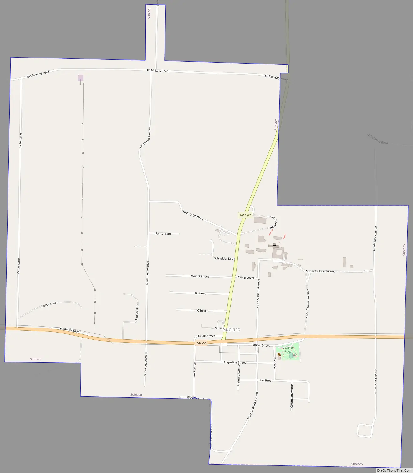
Subiaco Road Map
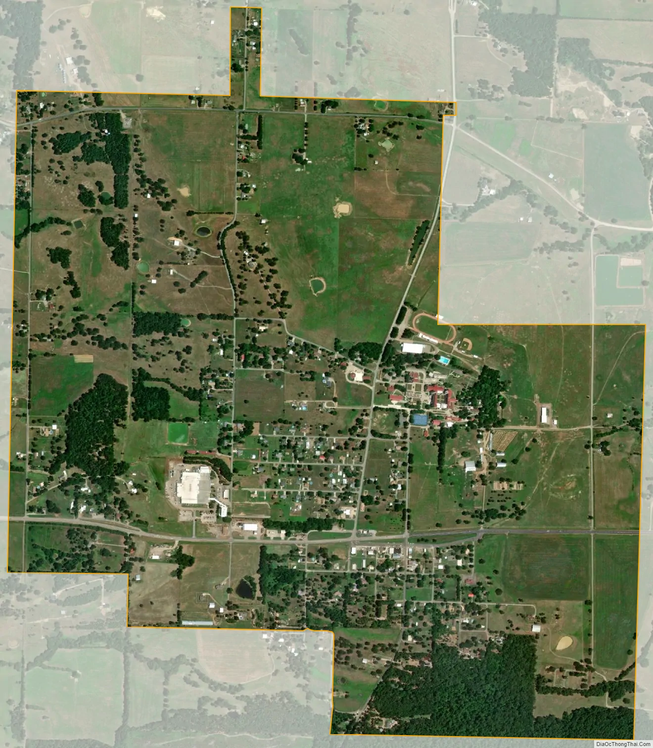
Subiaco city Satellite Map
Geography
According to the United States Census Bureau, the town has a total area of 1.9 square miles (4.9 km), all land.
See also
Map of Arkansas State and its subdivision:- Arkansas
- Ashley
- Baxter
- Benton
- Boone
- Bradley
- Calhoun
- Carroll
- Chicot
- Clark
- Clay
- Cleburne
- Cleveland
- Columbia
- Conway
- Craighead
- Crawford
- Crittenden
- Cross
- Dallas
- Desha
- Drew
- Faulkner
- Franklin
- Fulton
- Garland
- Grant
- Greene
- Hempstead
- Hot Spring
- Howard
- Independence
- Izard
- Jackson
- Jefferson
- Johnson
- Lafayette
- Lawrence
- Lee
- Lincoln
- Little River
- Logan
- Lonoke
- Madison
- Marion
- Miller
- Mississippi
- Monroe
- Montgomery
- Nevada
- Newton
- Ouachita
- Perry
- Phillips
- Pike
- Poinsett
- Polk
- Pope
- Prairie
- Pulaski
- Randolph
- Saint Francis
- Saline
- Scott
- Searcy
- Sebastian
- Sevier
- Sharp
- Stone
- Union
- Van Buren
- Washington
- White
- Woodruff
- Yell
- Alabama
- Alaska
- Arizona
- Arkansas
- California
- Colorado
- Connecticut
- Delaware
- District of Columbia
- Florida
- Georgia
- Hawaii
- Idaho
- Illinois
- Indiana
- Iowa
- Kansas
- Kentucky
- Louisiana
- Maine
- Maryland
- Massachusetts
- Michigan
- Minnesota
- Mississippi
- Missouri
- Montana
- Nebraska
- Nevada
- New Hampshire
- New Jersey
- New Mexico
- New York
- North Carolina
- North Dakota
- Ohio
- Oklahoma
- Oregon
- Pennsylvania
- Rhode Island
- South Carolina
- South Dakota
- Tennessee
- Texas
- Utah
- Vermont
- Virginia
- Washington
- West Virginia
- Wisconsin
- Wyoming