Victoria is a town in Mississippi County, Arkansas, United States. The population was 20 as of the 2020 census, down from 37 in 2010. It is named after a sister of the town’s founder, Robert E. Lee Wilson.
| Name: | Victoria town |
|---|---|
| LSAD Code: | 43 |
| LSAD Description: | town (suffix) |
| State: | Arkansas |
| County: | Mississippi County |
| Elevation: | 230 ft (70 m) |
| Total Area: | 0.32 sq mi (0.82 km²) |
| Land Area: | 0.32 sq mi (0.82 km²) |
| Water Area: | 0.00 sq mi (0.00 km²) |
| Total Population: | 20 |
| Population Density: | 63.29/sq mi (24.45/km²) |
| FIPS code: | 0571900 |
| GNISfeature ID: | 2406798 |
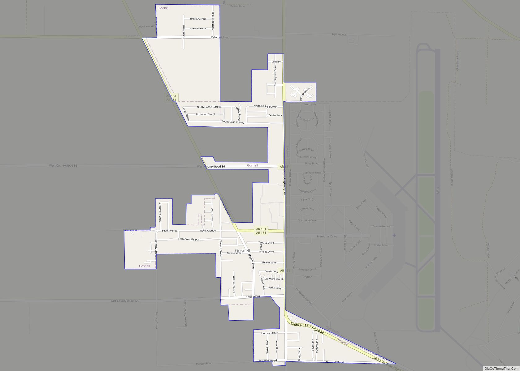
Online Interactive Map
Click on ![]() to view map in "full screen" mode.
to view map in "full screen" mode.
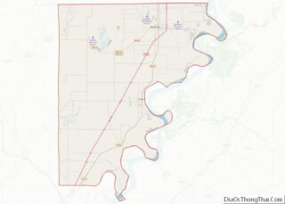
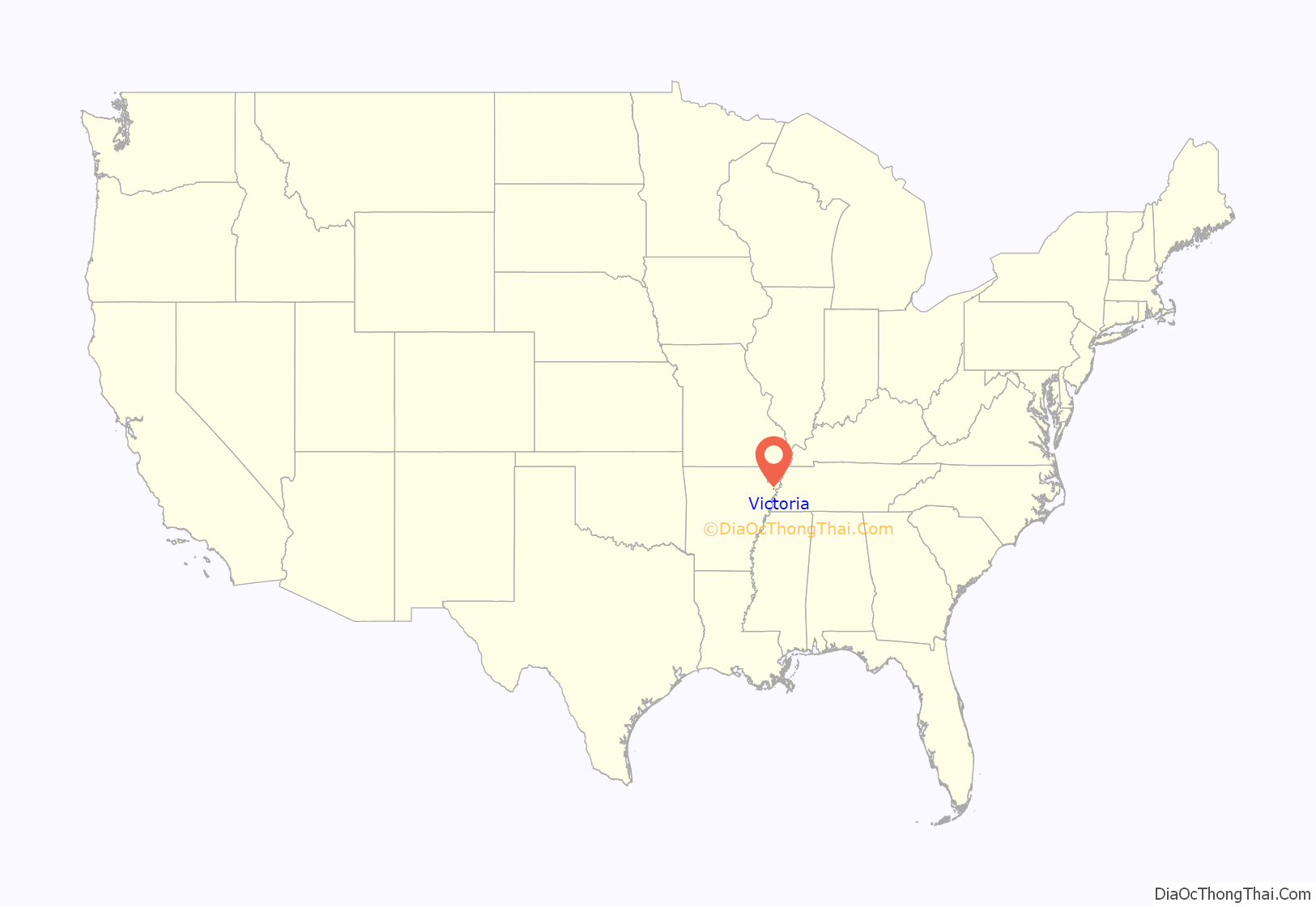
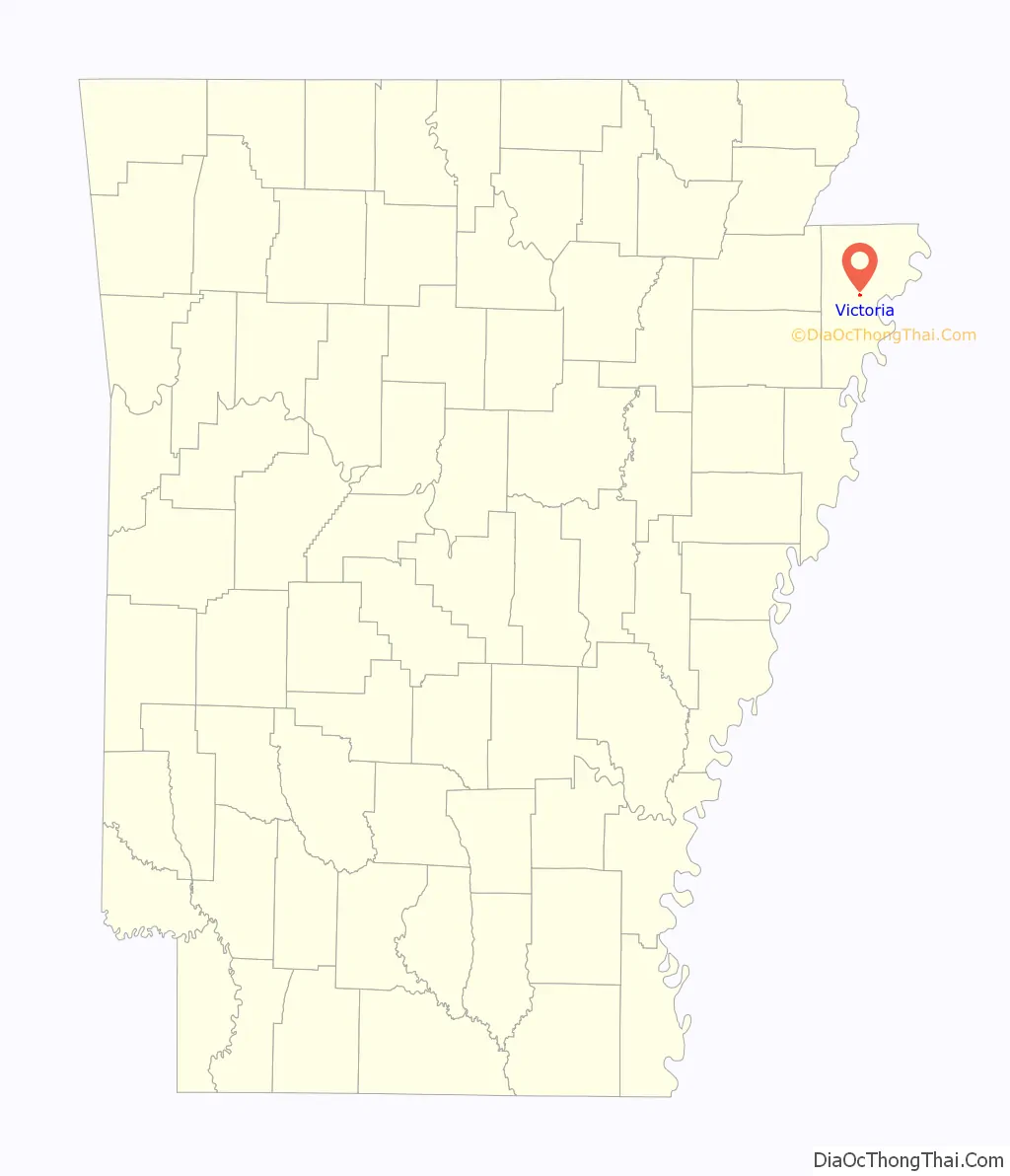
Victoria location map. Where is Victoria town?
History
Victoria was one of several small towns established by Robert E. Lee Wilson, a prominent late-19th century planter. The town was named after his sister. These include Armorel, Marie, and Wilson, all of which are also in Mississippi County. Wilson’s daughter, also named Victoria, married Frank Wesson (an heir of the firearms manufacturer), and the company they established, now known as “Wesson Farms”, still operates much of the land around Victoria. The town incorporated in 1966 and reported a population of nearly 200 four years later, but has gradually declined since.
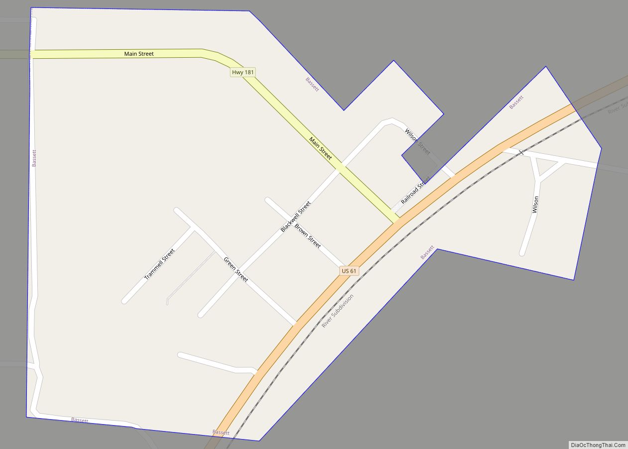
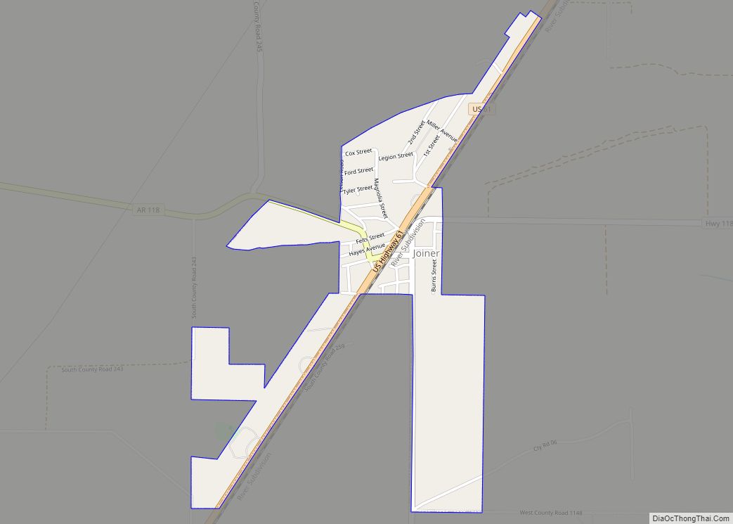
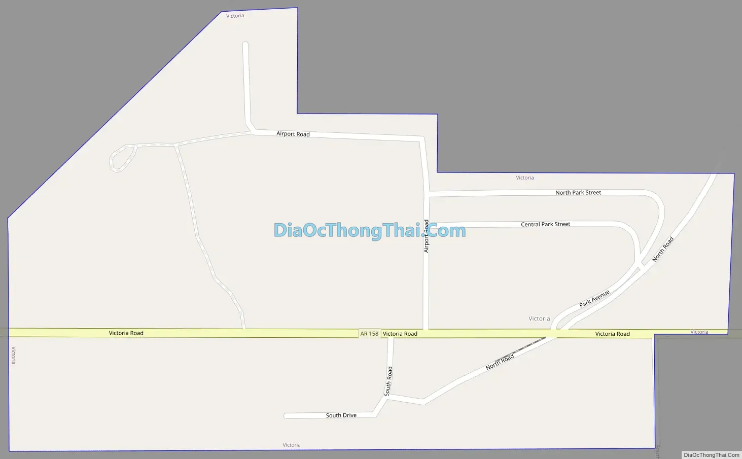
Victoria Road Map
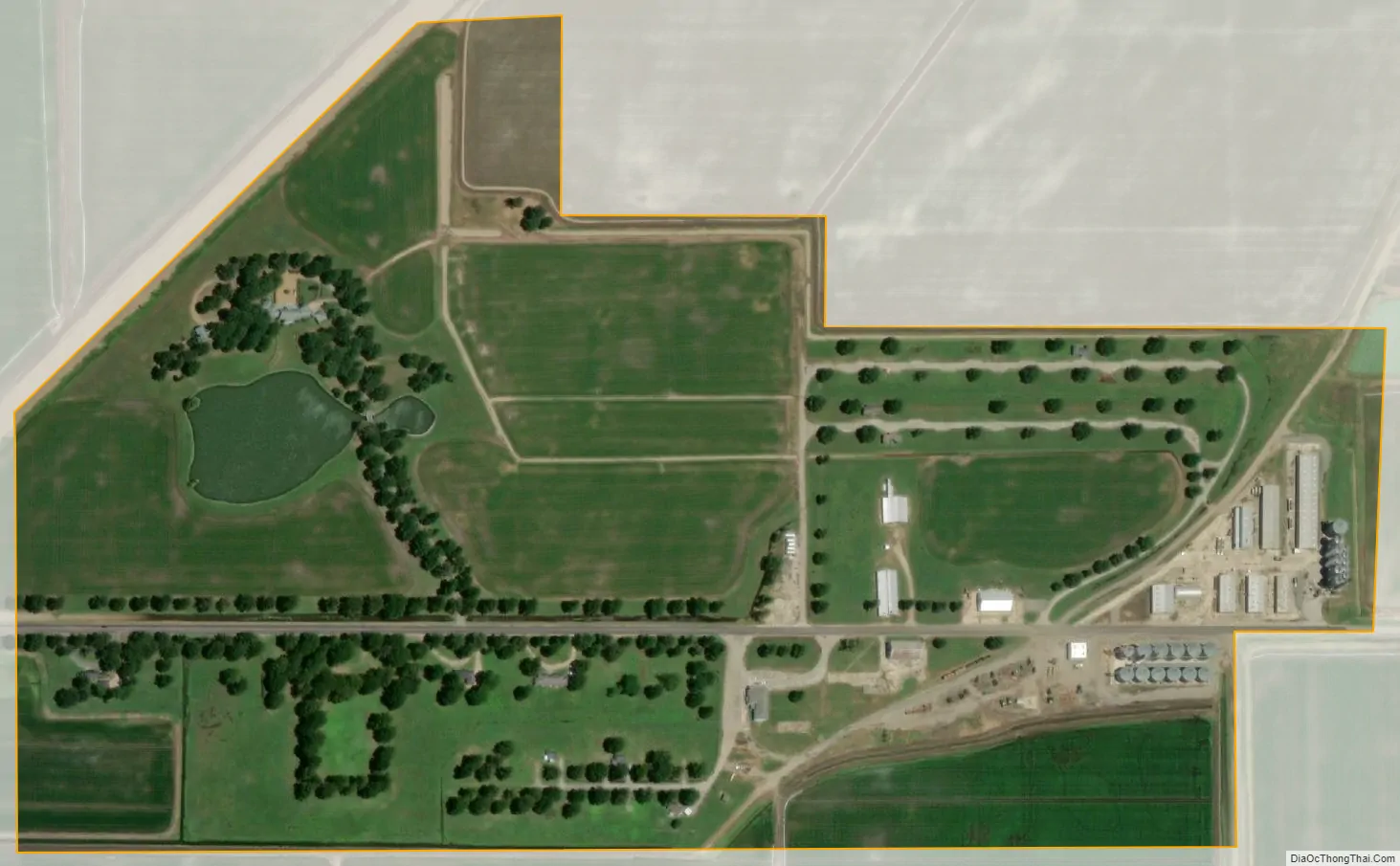
Victoria city Satellite Map
Geography
Victoria is located in central Mississippi County and lies along State Highway 158, 8 miles (13 km) northwest of Osceola, the county seat. State Highway 181 passes just to the west, and Interstate 55 passes 2.5 miles (4.0 km) to the east, with access from Exit 53.
According to the United States Census Bureau, the town has a total area of 0.32 square miles (0.83 km), all land.
See also
Map of Arkansas State and its subdivision:- Arkansas
- Ashley
- Baxter
- Benton
- Boone
- Bradley
- Calhoun
- Carroll
- Chicot
- Clark
- Clay
- Cleburne
- Cleveland
- Columbia
- Conway
- Craighead
- Crawford
- Crittenden
- Cross
- Dallas
- Desha
- Drew
- Faulkner
- Franklin
- Fulton
- Garland
- Grant
- Greene
- Hempstead
- Hot Spring
- Howard
- Independence
- Izard
- Jackson
- Jefferson
- Johnson
- Lafayette
- Lawrence
- Lee
- Lincoln
- Little River
- Logan
- Lonoke
- Madison
- Marion
- Miller
- Mississippi
- Monroe
- Montgomery
- Nevada
- Newton
- Ouachita
- Perry
- Phillips
- Pike
- Poinsett
- Polk
- Pope
- Prairie
- Pulaski
- Randolph
- Saint Francis
- Saline
- Scott
- Searcy
- Sebastian
- Sevier
- Sharp
- Stone
- Union
- Van Buren
- Washington
- White
- Woodruff
- Yell
- Alabama
- Alaska
- Arizona
- Arkansas
- California
- Colorado
- Connecticut
- Delaware
- District of Columbia
- Florida
- Georgia
- Hawaii
- Idaho
- Illinois
- Indiana
- Iowa
- Kansas
- Kentucky
- Louisiana
- Maine
- Maryland
- Massachusetts
- Michigan
- Minnesota
- Mississippi
- Missouri
- Montana
- Nebraska
- Nevada
- New Hampshire
- New Jersey
- New Mexico
- New York
- North Carolina
- North Dakota
- Ohio
- Oklahoma
- Oregon
- Pennsylvania
- Rhode Island
- South Carolina
- South Dakota
- Tennessee
- Texas
- Utah
- Vermont
- Virginia
- Washington
- West Virginia
- Wisconsin
- Wyoming