Waldron is a city in Scott County, Arkansas, United States. Its population was 3,386 at the 2020 census. The city is the county seat of Scott County.
| Name: | Waldron city |
|---|---|
| LSAD Code: | 25 |
| LSAD Description: | city (suffix) |
| State: | Arkansas |
| County: | Scott County |
| Incorporated: | December 17, 1852 |
| Elevation: | 659 ft (201 m) |
| Total Area: | 5.72 sq mi (14.83 km²) |
| Land Area: | 5.63 sq mi (14.59 km²) |
| Water Area: | 0.09 sq mi (0.23 km²) |
| Total Population: | 3,386 |
| Population Density: | 600.99/sq mi (232.03/km²) |
| ZIP code: | 72924, 72958 |
| Area code: | 479 |
| FIPS code: | 0572380 |
| GNISfeature ID: | 0078668 |
Online Interactive Map
Click on ![]() to view map in "full screen" mode.
to view map in "full screen" mode.
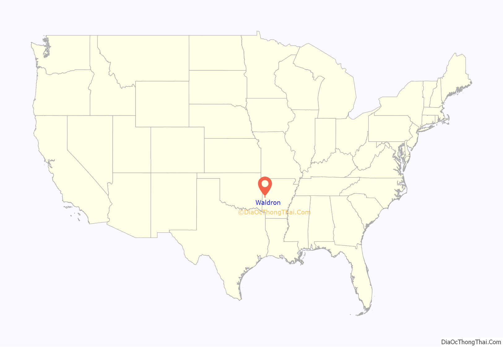
Waldron location map. Where is Waldron city?
History
Waldron was platted in 1845 by surveyor W. P. Waldron, and named for him. A post office called Waldron has been in operation since 1846. Waldron was incorporated in 1875. Waldron was reached by the Arkansas Western Railroad from Heavener, Oklahoma in 1901. Later called the Arkansas Western Railway, a subsidiary of and subsequently incorporated into the Kansas City Southern, the line is now leased to and operated by the Arkansas Southern Railroad.
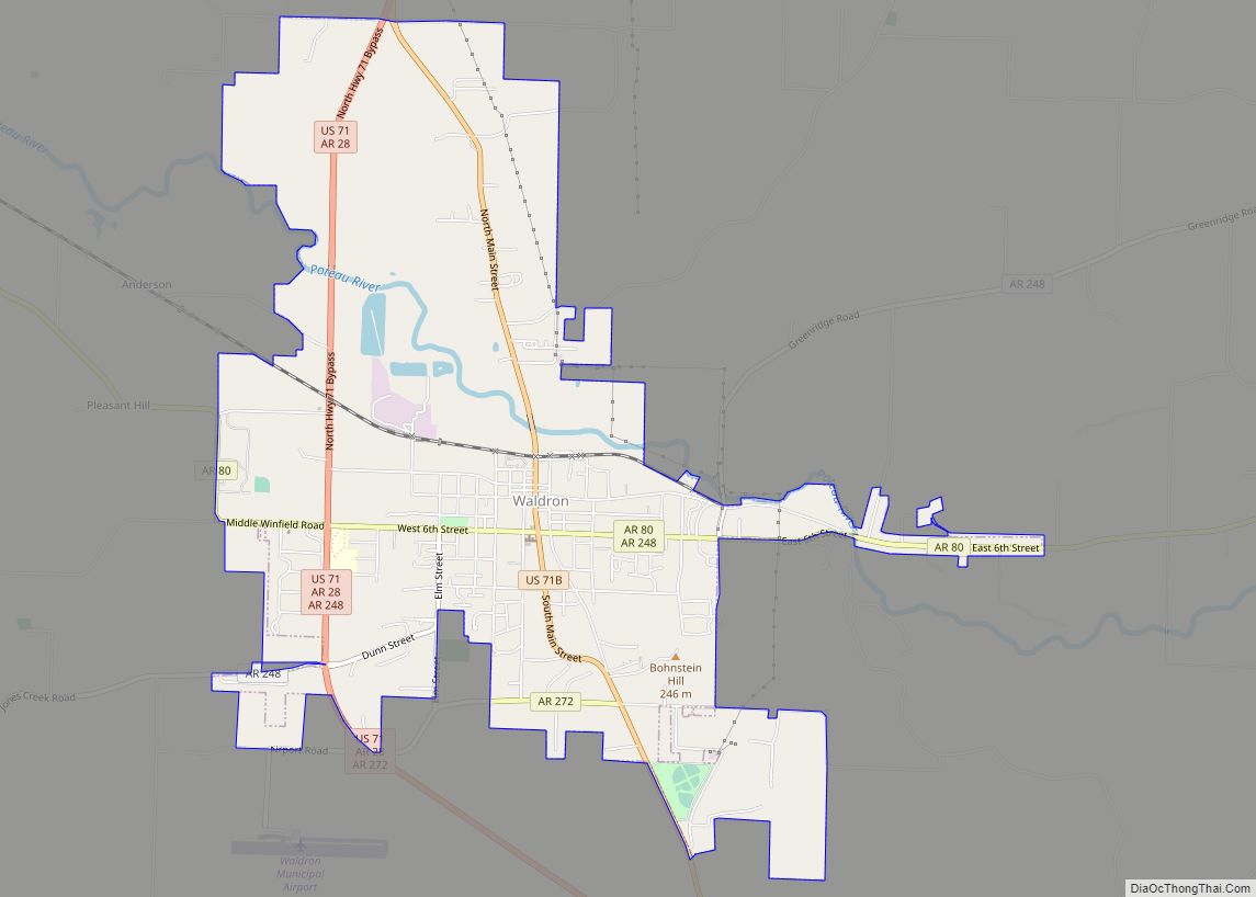
Waldron Road Map
Waldron city Satellite Map
Geography
Waldron is located at 34°53′57″N 94°5′29″W / 34.89917°N 94.09139°W / 34.89917; -94.09139 (34.899191, -94.091483). According to the United States Census Bureau, the city has a total area of 5.0 square miles (13 km), of which 5.0 square miles (13 km) is land and 0.1 square miles (0.26 km) (1.19%) is water. Waldron is located approximately 38 miles south of Fort Smith, near the Poteau River.
See also
Map of Arkansas State and its subdivision:- Arkansas
- Ashley
- Baxter
- Benton
- Boone
- Bradley
- Calhoun
- Carroll
- Chicot
- Clark
- Clay
- Cleburne
- Cleveland
- Columbia
- Conway
- Craighead
- Crawford
- Crittenden
- Cross
- Dallas
- Desha
- Drew
- Faulkner
- Franklin
- Fulton
- Garland
- Grant
- Greene
- Hempstead
- Hot Spring
- Howard
- Independence
- Izard
- Jackson
- Jefferson
- Johnson
- Lafayette
- Lawrence
- Lee
- Lincoln
- Little River
- Logan
- Lonoke
- Madison
- Marion
- Miller
- Mississippi
- Monroe
- Montgomery
- Nevada
- Newton
- Ouachita
- Perry
- Phillips
- Pike
- Poinsett
- Polk
- Pope
- Prairie
- Pulaski
- Randolph
- Saint Francis
- Saline
- Scott
- Searcy
- Sebastian
- Sevier
- Sharp
- Stone
- Union
- Van Buren
- Washington
- White
- Woodruff
- Yell
- Alabama
- Alaska
- Arizona
- Arkansas
- California
- Colorado
- Connecticut
- Delaware
- District of Columbia
- Florida
- Georgia
- Hawaii
- Idaho
- Illinois
- Indiana
- Iowa
- Kansas
- Kentucky
- Louisiana
- Maine
- Maryland
- Massachusetts
- Michigan
- Minnesota
- Mississippi
- Missouri
- Montana
- Nebraska
- Nevada
- New Hampshire
- New Jersey
- New Mexico
- New York
- North Carolina
- North Dakota
- Ohio
- Oklahoma
- Oregon
- Pennsylvania
- Rhode Island
- South Carolina
- South Dakota
- Tennessee
- Texas
- Utah
- Vermont
- Virginia
- Washington
- West Virginia
- Wisconsin
- Wyoming


