Wickes is a city in Polk County, Arkansas, United States. The population was 754 at the 2010 census.
Near Wickes is the Boggs Springs Youth Encampment of the American Baptist Association, a retreat of Missionary Baptist churches.
Wickes has historic places such as the 100-year-old City Hall, and the Lighthouse Drive-in.
| Name: | Wickes town |
|---|---|
| LSAD Code: | 43 |
| LSAD Description: | town (suffix) |
| State: | Arkansas |
| County: | Polk County |
| Elevation: | 1,024 ft (312 m) |
| Total Area: | 2.34 sq mi (6.06 km²) |
| Land Area: | 2.32 sq mi (6.02 km²) |
| Water Area: | 0.02 sq mi (0.05 km²) |
| Total Population: | 753 |
| Population Density: | 274.21/sq mi (105.89/km²) |
| ZIP code: | 71973 |
| Area code: | 870 |
| FIPS code: | 0575500 |
| GNISfeature ID: | 2406884 |
Online Interactive Map
Click on ![]() to view map in "full screen" mode.
to view map in "full screen" mode.
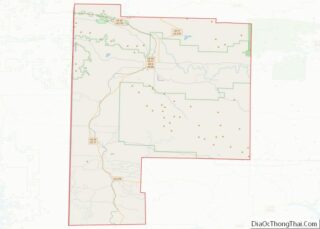
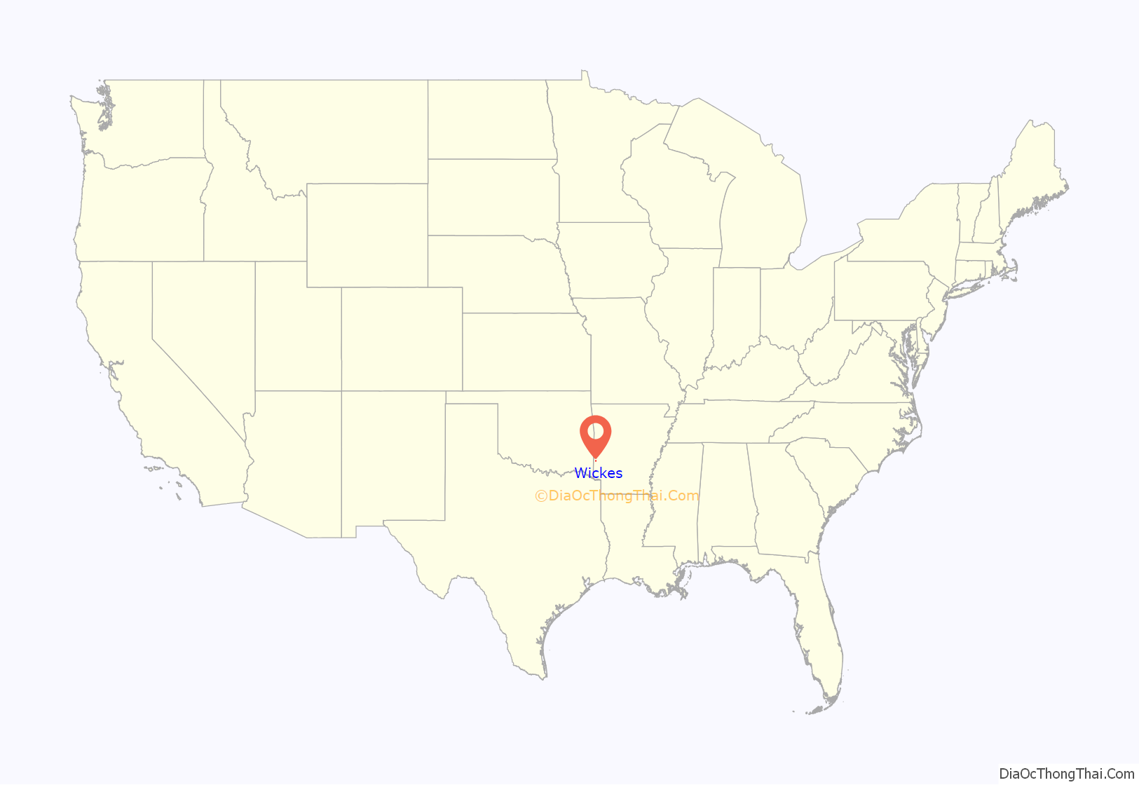
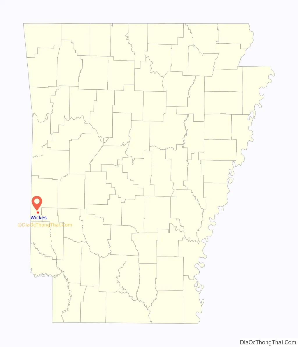
Wickes location map. Where is Wickes town?
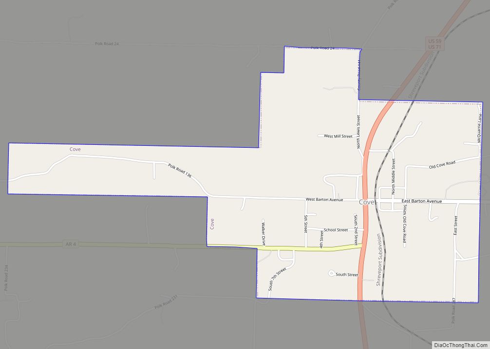
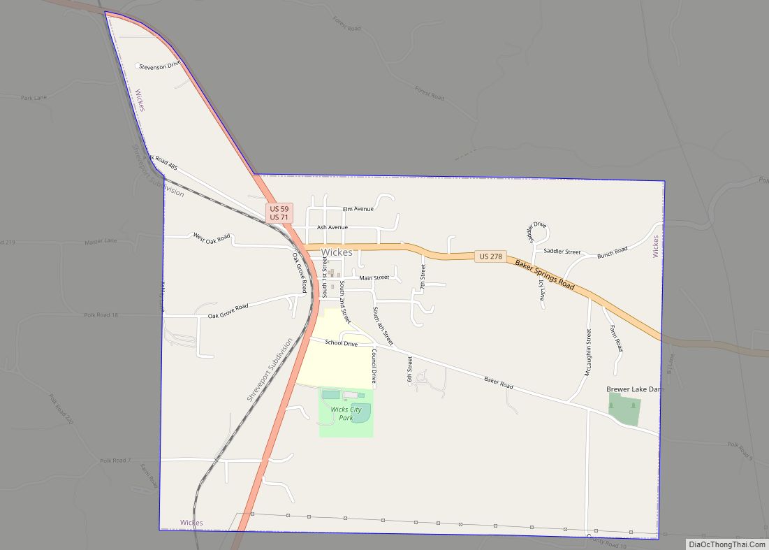
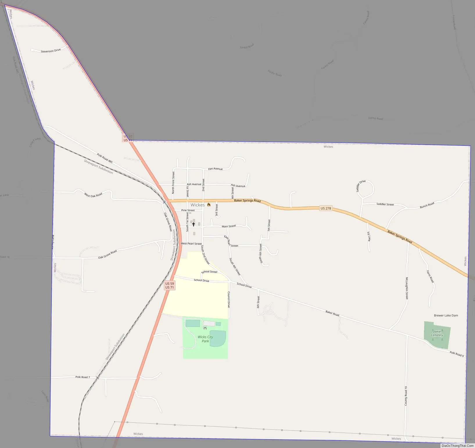
Wickes Road Map
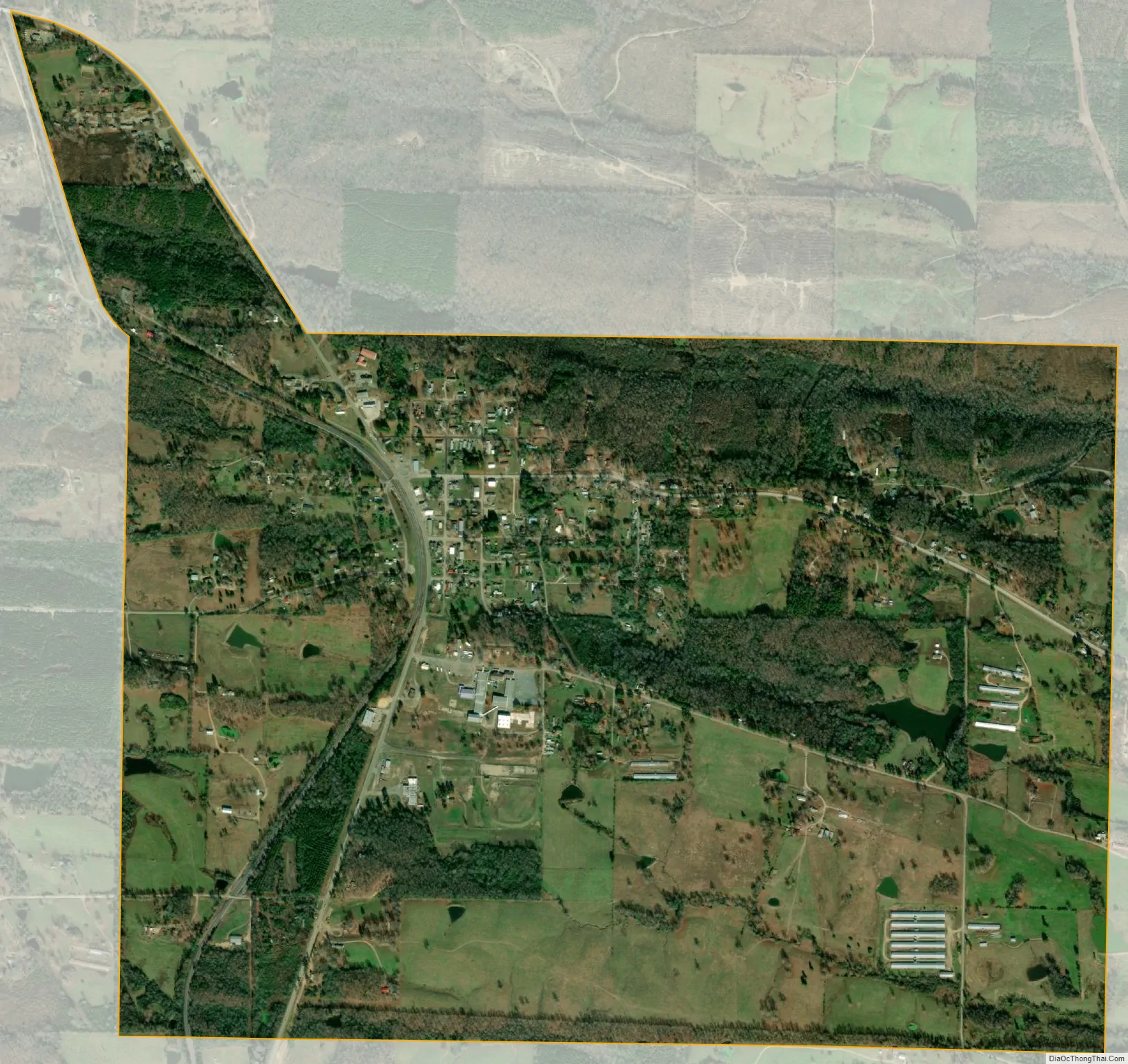
Wickes city Satellite Map
Geography
Wickes is located at 34°18′5″N 94°20′6″W / 34.30139°N 94.33500°W / 34.30139; -94.33500 (34.301291, -94.334908).
According to the United States Census Bureau, the town has a total area of 6.0 km (2.3 mi), of which 6.0 km (2.3 mi) is land and 0.43% is water.
Wickes is home of the western terminus of U.S. Route 278.
See also
Map of Arkansas State and its subdivision:- Arkansas
- Ashley
- Baxter
- Benton
- Boone
- Bradley
- Calhoun
- Carroll
- Chicot
- Clark
- Clay
- Cleburne
- Cleveland
- Columbia
- Conway
- Craighead
- Crawford
- Crittenden
- Cross
- Dallas
- Desha
- Drew
- Faulkner
- Franklin
- Fulton
- Garland
- Grant
- Greene
- Hempstead
- Hot Spring
- Howard
- Independence
- Izard
- Jackson
- Jefferson
- Johnson
- Lafayette
- Lawrence
- Lee
- Lincoln
- Little River
- Logan
- Lonoke
- Madison
- Marion
- Miller
- Mississippi
- Monroe
- Montgomery
- Nevada
- Newton
- Ouachita
- Perry
- Phillips
- Pike
- Poinsett
- Polk
- Pope
- Prairie
- Pulaski
- Randolph
- Saint Francis
- Saline
- Scott
- Searcy
- Sebastian
- Sevier
- Sharp
- Stone
- Union
- Van Buren
- Washington
- White
- Woodruff
- Yell
- Alabama
- Alaska
- Arizona
- Arkansas
- California
- Colorado
- Connecticut
- Delaware
- District of Columbia
- Florida
- Georgia
- Hawaii
- Idaho
- Illinois
- Indiana
- Iowa
- Kansas
- Kentucky
- Louisiana
- Maine
- Maryland
- Massachusetts
- Michigan
- Minnesota
- Mississippi
- Missouri
- Montana
- Nebraska
- Nevada
- New Hampshire
- New Jersey
- New Mexico
- New York
- North Carolina
- North Dakota
- Ohio
- Oklahoma
- Oregon
- Pennsylvania
- Rhode Island
- South Carolina
- South Dakota
- Tennessee
- Texas
- Utah
- Vermont
- Virginia
- Washington
- West Virginia
- Wisconsin
- Wyoming