Wilmot is a city in Ashley County, Arkansas, United States. The population was 550 at the 2010 census.
| Name: | Wilmot city |
|---|---|
| LSAD Code: | 25 |
| LSAD Description: | city (suffix) |
| State: | Arkansas |
| County: | Ashley County |
| Elevation: | 108 ft (33 m) |
| Total Area: | 1.77 sq mi (4.59 km²) |
| Land Area: | 1.77 sq mi (4.58 km²) |
| Water Area: | 0.01 sq mi (0.01 km²) |
| Total Population: | 416 |
| Population Density: | 235.16/sq mi (90.79/km²) |
| ZIP code: | 71676 |
| Area code: | 870 |
| FIPS code: | 0575890 |
| GNISfeature ID: | 0056423 |
Online Interactive Map
Click on ![]() to view map in "full screen" mode.
to view map in "full screen" mode.
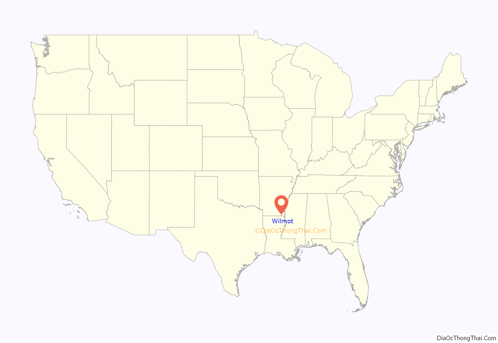
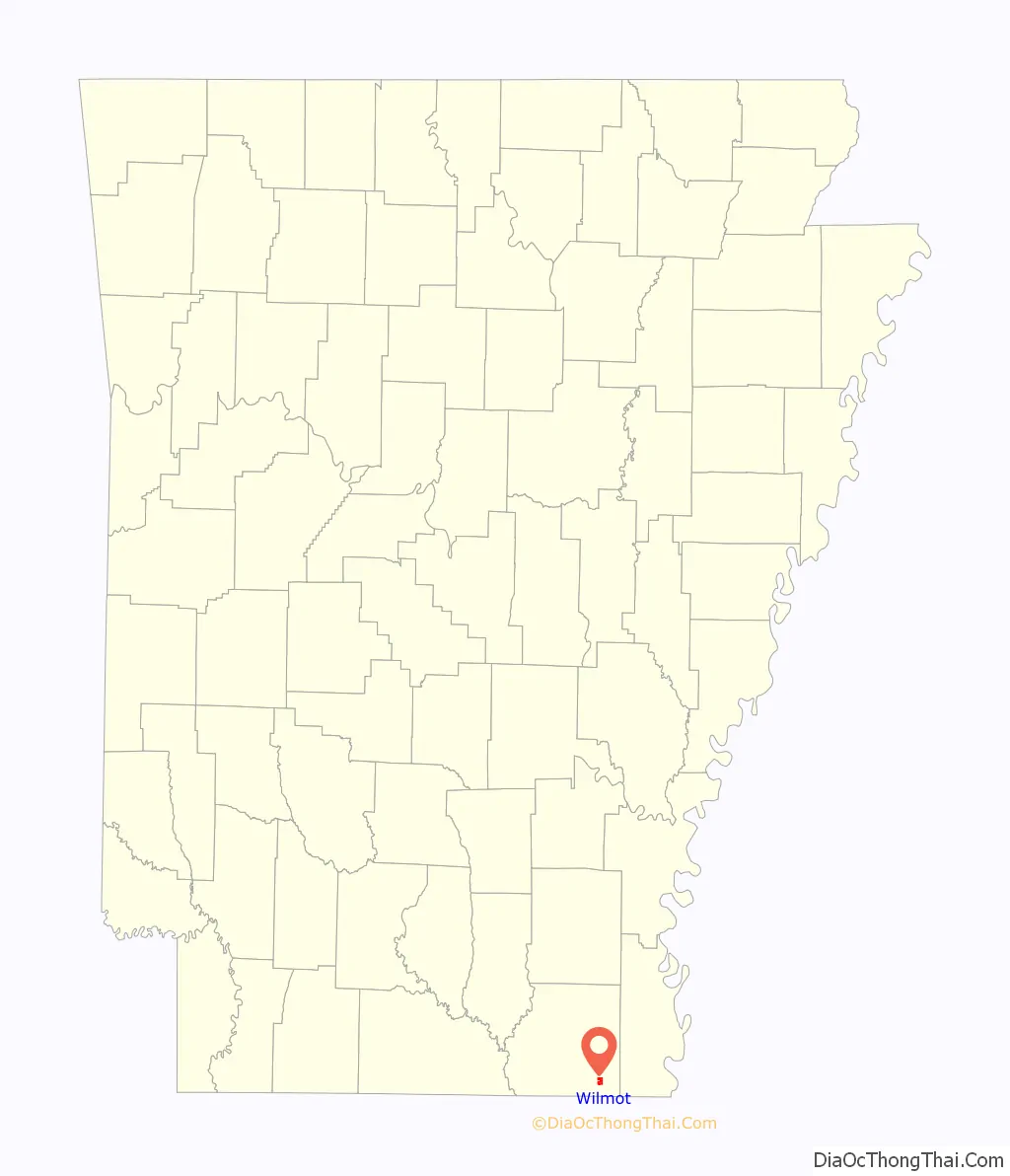
Wilmot location map. Where is Wilmot city?
History
In 1927, a young Black man named Winston Pounds was tortured and hanged by a mob of some fifty armed white men, for allegedly having attempted to assault a white woman.
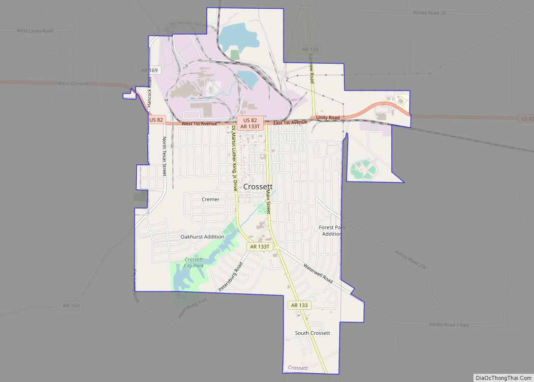
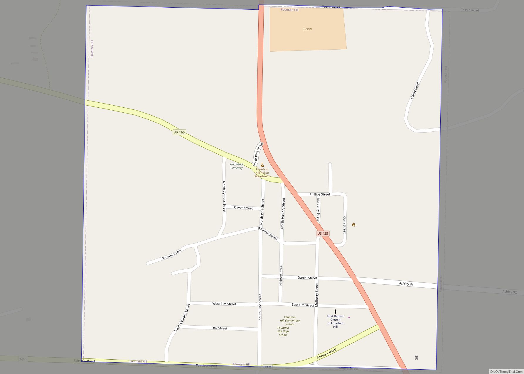
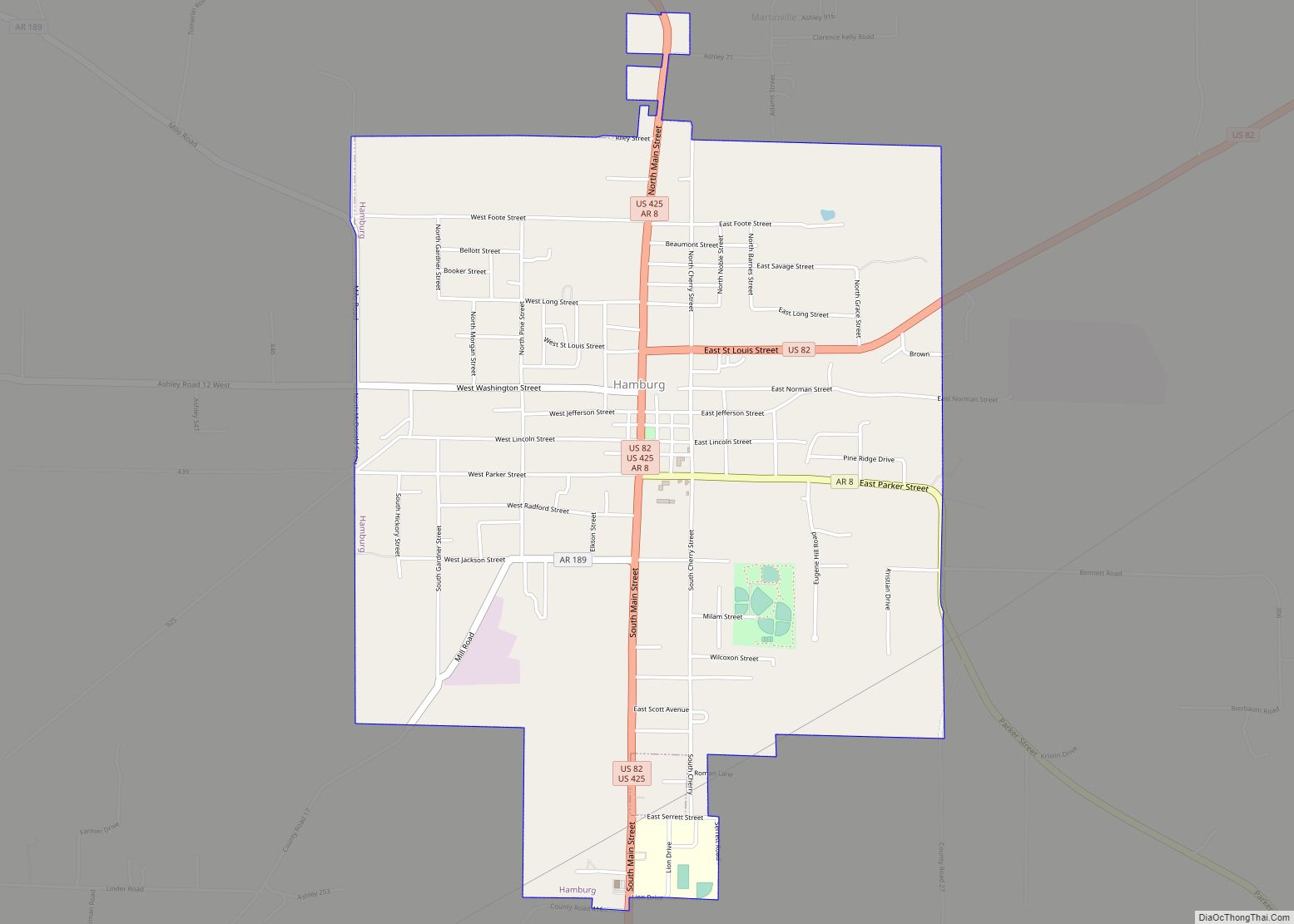
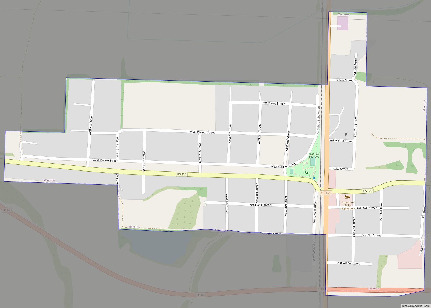
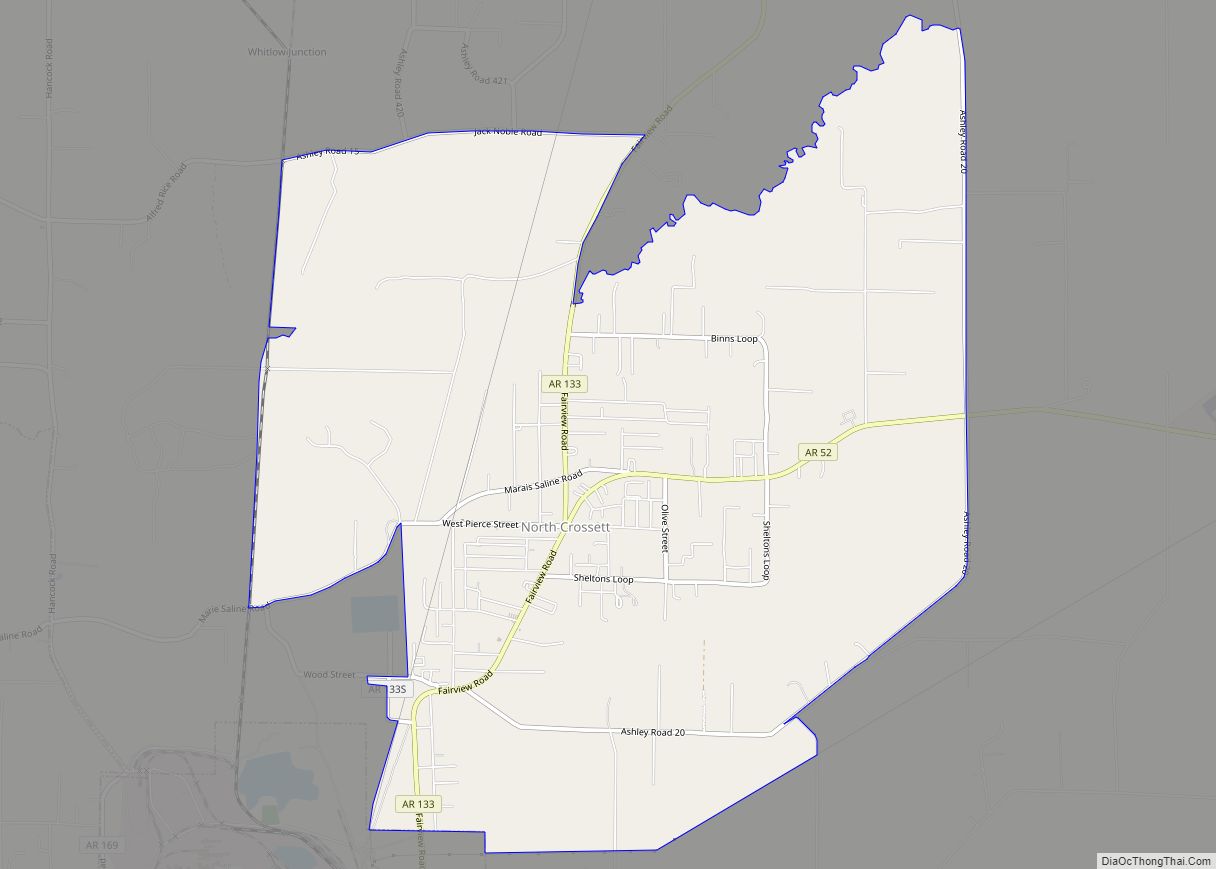
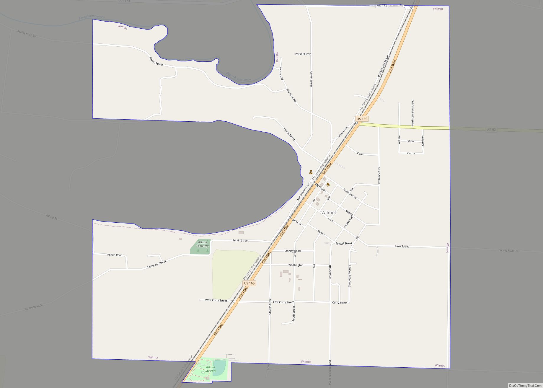
Wilmot Road Map
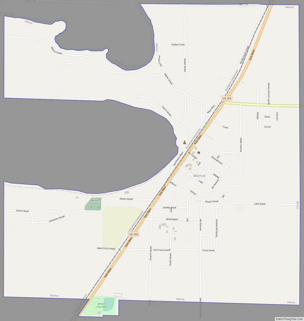
Wilmot city Satellite Map
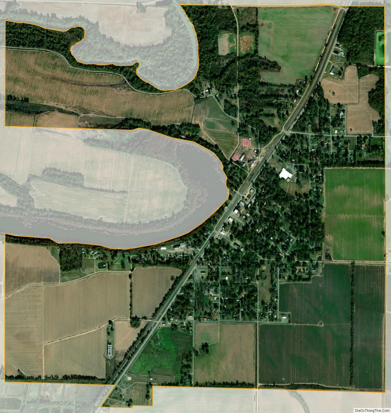
Geography
According to the United States Census Bureau, the city has a total area of 1.9 square miles (4.8 km), of which 0.012 square miles (0.03 km), or 0.55%, is water. The town borders Lake Enterprise, a popular location for local fishing and watersports.
See also
Map of Arkansas State and its subdivision:- Arkansas
- Ashley
- Baxter
- Benton
- Boone
- Bradley
- Calhoun
- Carroll
- Chicot
- Clark
- Clay
- Cleburne
- Cleveland
- Columbia
- Conway
- Craighead
- Crawford
- Crittenden
- Cross
- Dallas
- Desha
- Drew
- Faulkner
- Franklin
- Fulton
- Garland
- Grant
- Greene
- Hempstead
- Hot Spring
- Howard
- Independence
- Izard
- Jackson
- Jefferson
- Johnson
- Lafayette
- Lawrence
- Lee
- Lincoln
- Little River
- Logan
- Lonoke
- Madison
- Marion
- Miller
- Mississippi
- Monroe
- Montgomery
- Nevada
- Newton
- Ouachita
- Perry
- Phillips
- Pike
- Poinsett
- Polk
- Pope
- Prairie
- Pulaski
- Randolph
- Saint Francis
- Saline
- Scott
- Searcy
- Sebastian
- Sevier
- Sharp
- Stone
- Union
- Van Buren
- Washington
- White
- Woodruff
- Yell
- Alabama
- Alaska
- Arizona
- Arkansas
- California
- Colorado
- Connecticut
- Delaware
- District of Columbia
- Florida
- Georgia
- Hawaii
- Idaho
- Illinois
- Indiana
- Iowa
- Kansas
- Kentucky
- Louisiana
- Maine
- Maryland
- Massachusetts
- Michigan
- Minnesota
- Mississippi
- Missouri
- Montana
- Nebraska
- Nevada
- New Hampshire
- New Jersey
- New Mexico
- New York
- North Carolina
- North Dakota
- Ohio
- Oklahoma
- Oregon
- Pennsylvania
- Rhode Island
- South Carolina
- South Dakota
- Tennessee
- Texas
- Utah
- Vermont
- Virginia
- Washington
- West Virginia
- Wisconsin
- Wyoming