Yarborough Landing is a census-designated place in Little River County, Arkansas, United States. Per the 2020 census, the population was 457.
| Name: | Yarborough Landing CDP |
|---|---|
| LSAD Code: | 57 |
| LSAD Description: | CDP (suffix) |
| State: | Arkansas |
| County: | Little River County |
| Elevation: | 308 ft (94 m) |
| Total Area: | 2.18 sq mi (5.64 km²) |
| Land Area: | 2.17 sq mi (5.61 km²) |
| Water Area: | 0.01 sq mi (0.03 km²) |
| Total Population: | 457 |
| Population Density: | 210.89/sq mi (81.43/km²) |
| Area code: | 870 |
| FIPS code: | 0577203 |
| GNISfeature ID: | 60192 |
Online Interactive Map
Click on ![]() to view map in "full screen" mode.
to view map in "full screen" mode.
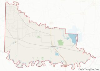
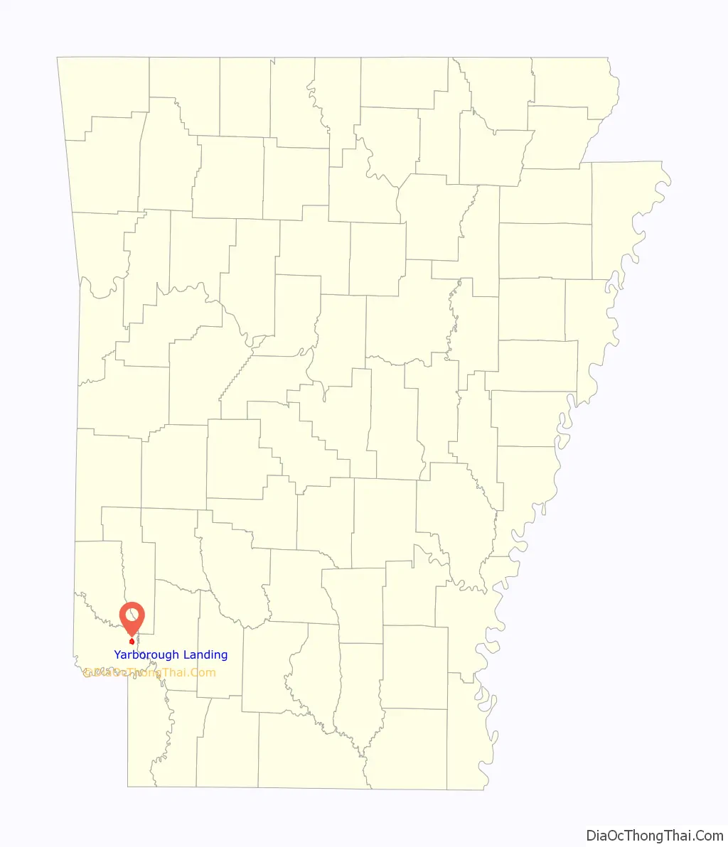
Yarborough Landing location map. Where is Yarborough Landing CDP?

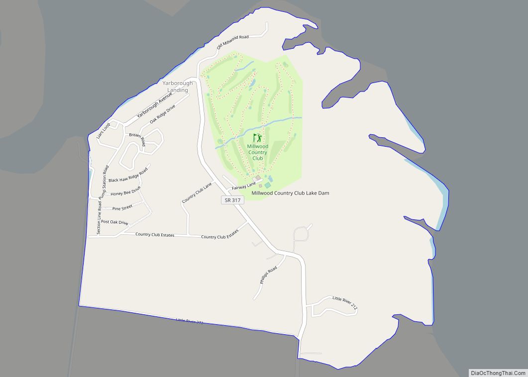
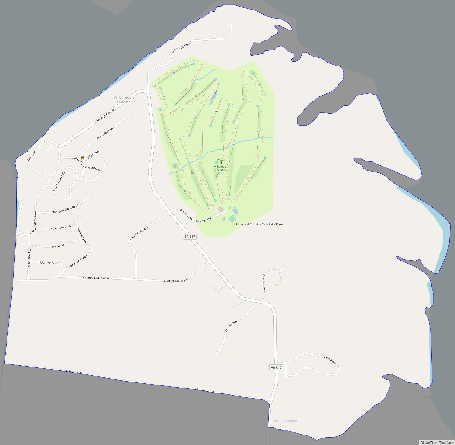
Yarborough Landing Road Map
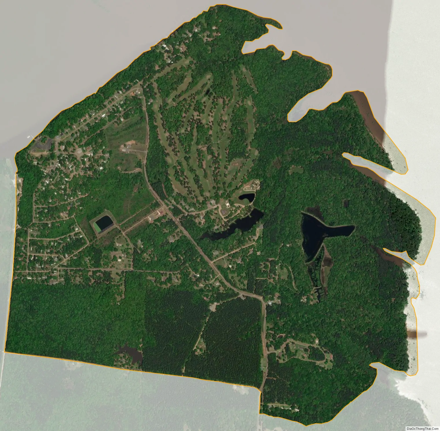
Yarborough Landing city Satellite Map
Geography
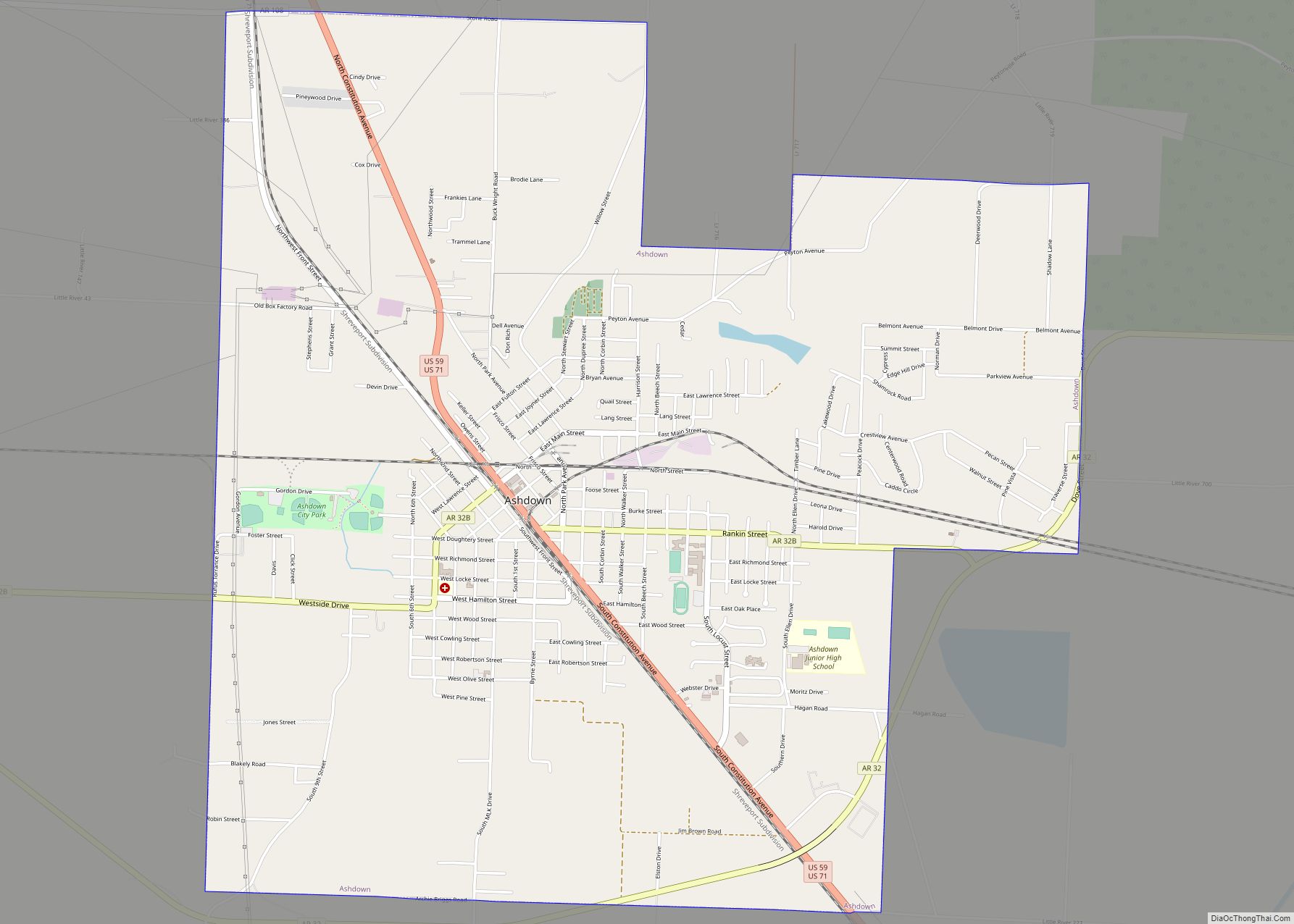
The community is in northeastern Little River County, on the southwest shore of Millwood Lake, a reservoir on the Little River. It is 11 miles (18 km) northeast of Ashdown, the county seat, and 13 miles (21 km) by road southwest of Saratoga. Arkansas Highway 317 has its northern terminus in Yarborough Landing and leads south 3 miles (5 km) to Arkansas Highway 32, the road connecting Ashdown and Saratoga.
According to the U.S. Census Bureau, the Yarborough Landing CDP has a total area of 2.2 square miles (5.8 km), of which 0.01 square miles (0.03 km), or 0.52%, are water.
See also
Map of Arkansas State and its subdivision:- Arkansas
- Ashley
- Baxter
- Benton
- Boone
- Bradley
- Calhoun
- Carroll
- Chicot
- Clark
- Clay
- Cleburne
- Cleveland
- Columbia
- Conway
- Craighead
- Crawford
- Crittenden
- Cross
- Dallas
- Desha
- Drew
- Faulkner
- Franklin
- Fulton
- Garland
- Grant
- Greene
- Hempstead
- Hot Spring
- Howard
- Independence
- Izard
- Jackson
- Jefferson
- Johnson
- Lafayette
- Lawrence
- Lee
- Lincoln
- Little River
- Logan
- Lonoke
- Madison
- Marion
- Miller
- Mississippi
- Monroe
- Montgomery
- Nevada
- Newton
- Ouachita
- Perry
- Phillips
- Pike
- Poinsett
- Polk
- Pope
- Prairie
- Pulaski
- Randolph
- Saint Francis
- Saline
- Scott
- Searcy
- Sebastian
- Sevier
- Sharp
- Stone
- Union
- Van Buren
- Washington
- White
- Woodruff
- Yell
- Alabama
- Alaska
- Arizona
- Arkansas
- California
- Colorado
- Connecticut
- Delaware
- District of Columbia
- Florida
- Georgia
- Hawaii
- Idaho
- Illinois
- Indiana
- Iowa
- Kansas
- Kentucky
- Louisiana
- Maine
- Maryland
- Massachusetts
- Michigan
- Minnesota
- Mississippi
- Missouri
- Montana
- Nebraska
- Nevada
- New Hampshire
- New Jersey
- New Mexico
- New York
- North Carolina
- North Dakota
- Ohio
- Oklahoma
- Oregon
- Pennsylvania
- Rhode Island
- South Carolina
- South Dakota
- Tennessee
- Texas
- Utah
- Vermont
- Virginia
- Washington
- West Virginia
- Wisconsin
- Wyoming