Borrego Springs (borrego is Spanish for “sheep”) is a census-designated place (CDP) in San Diego County, California. The population was 3,429 at the 2010 census, up from 2,535 at the 2000 census, made up of both seasonal and year-round residents. Borrego Springs is surrounded by Anza-Borrego State Park, California’s largest state park.
The village of Borrego Springs is recognized as a designated International Dark Sky Community by the International Dark-Sky Association (IDA). Borrego Springs has no stoplights, and nighttime lighting is kept to a minimum to protect the view of the night sky. Borrego Springs is about 90 miles (140 km) from downtown San Diego and the lights of the highly developed California coast. The International Dark-Sky Association designated it as California’s first International Dark-Sky Community. It is a center for public astronomy activities throughout the year.
Borrego Springs has pueblo-style, modern architecture and ranch-style house architecture. A local landmark is the traffic roundabout between the airport and downtown, Christmas Circle. The town includes a branch of the San Diego County Library.
| Name: | Borrego Springs CDP |
|---|---|
| LSAD Code: | 57 |
| LSAD Description: | CDP (suffix) |
| State: | California |
| County: | San Diego County |
| Elevation: | 597 ft (182 m) |
| Total Area: | 43.41 sq mi (112.42 km²) |
| Land Area: | 43.41 sq mi (112.42 km²) |
| Water Area: | 0.00 sq mi (0.00 km²) 0.78% |
| Total Population: | 3,073 |
| Population Density: | 70.80/sq mi (27.33/km²) |
| ZIP code: | 92004 |
| FIPS code: | 0607596 |
Online Interactive Map
Click on ![]() to view map in "full screen" mode.
to view map in "full screen" mode.
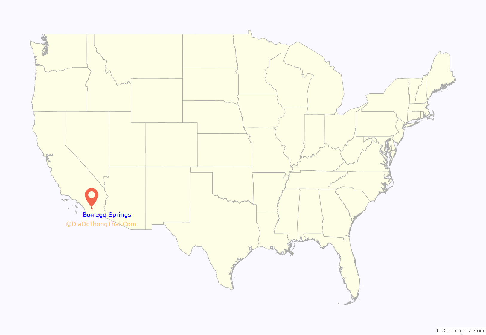
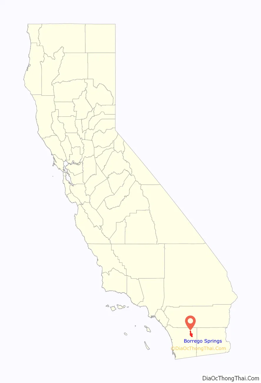
Borrego Springs location map. Where is Borrego Springs CDP?
History
Anza-Borrego State Park’s name is derived from Juan Bautista de Anza, who notably camped there, and “borrego”, which is Spanish for “lamb”, in honor of the local herds of bighorn sheep. The area east of town was the site of a vast World War II US Navy training center, the Borrego Valley Maneuver Area, with supporting camps and airstrips.
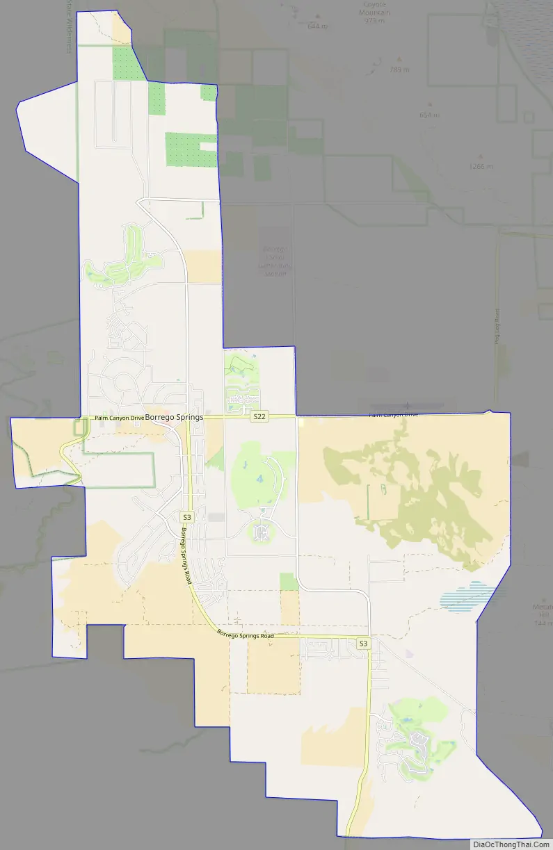
Borrego Springs Road Map
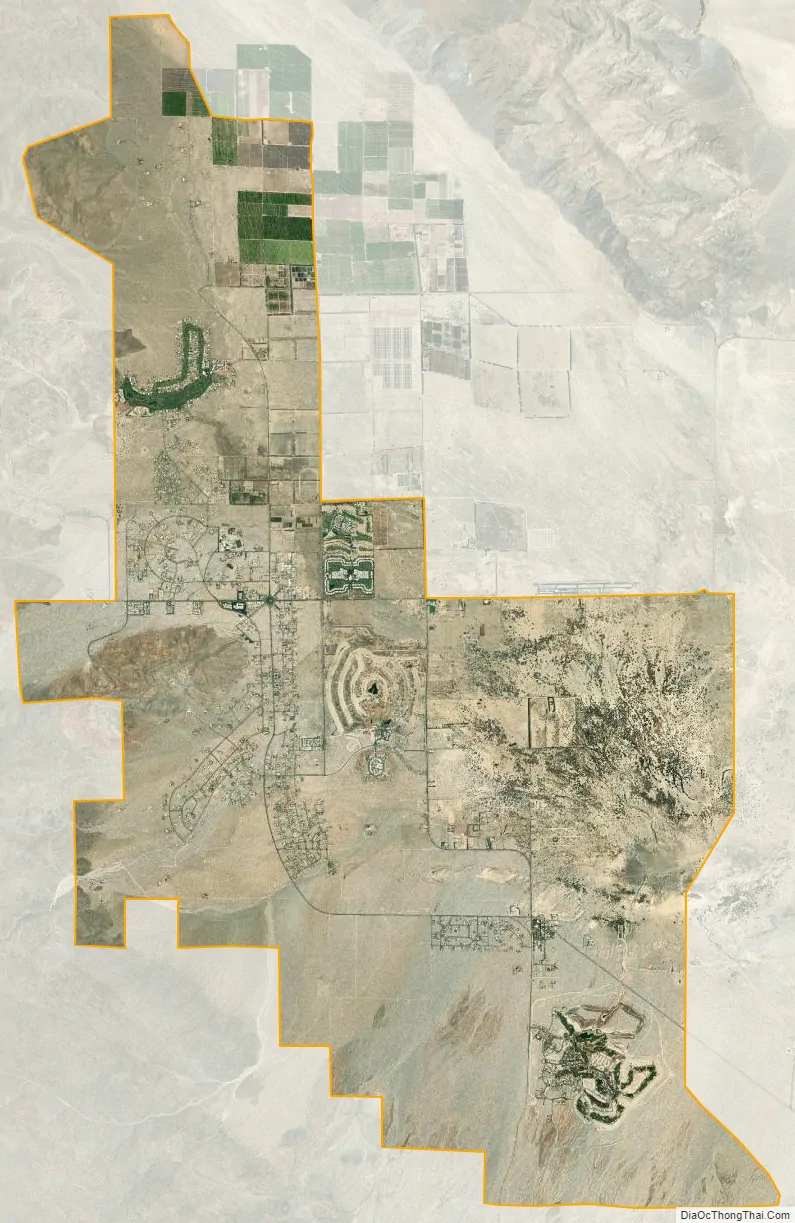
Borrego Springs city Satellite Map
Geography
Borrego Springs is on the floor of the Borrego Valley, which lies at the Sonoran Desert ecoregion’s western edge. The village and surrounding countryside have a wide variety of desert flora and fauna. One iconic species found in the Borrego Springs area is the California Fan Palm, Washingtonia filifera, a lower risk/near-threatened species and the only palm native to the western United States. An abandoned calcite mine, dating to World War II, is on the northeast slope of the Santa Rosa Mountains in the state park.
Climate
Borrego Springs has a hot desert climate (Köppen climate classification: BWh). Average January temperatures are a maximum of 69.0 °F (20.6 °C) and a minimum of 43.4 °F (6.3 °C). Average July temperatures are a maximum of 106.8 °F (41.6 °C) and a minimum of 74.9 °F (23.8 °C). There are an average of 172.6 days with highs of 90 °F (32 °C) or higher and an average of only 2.6 days with lows of 32 °F (0 °C) or lower. The record high temperature was 122 °F (50 °C) on June 25, 1990. The record low temperature was 20 °F (−7 °C) on January 5, 1971. Average annual precipitation is 6.13 inches (156 mm) and there are an average of 24 days with measurable precipitation. The wettest year was 1983, with 18.73 inches (476 mm), and the driest was 1953, with 1.35 inches (34 mm). The most rainfall in one month was 8.78 inches (223 mm) in January 1993. The most rainfall in 24 hours was 2.46 inches (62 mm) on March 2, 1983. Although snow rarely falls in the lowlands, 6.5 inches fell in December 1967.
See also
Map of California State and its subdivision:- Alameda
- Alpine
- Amador
- Butte
- Calaveras
- Colusa
- Contra Costa
- Del Norte
- El Dorado
- Fresno
- Glenn
- Humboldt
- Imperial
- Inyo
- Kern
- Kings
- Lake
- Lassen
- Los Angeles
- Madera
- Marin
- Mariposa
- Mendocino
- Merced
- Modoc
- Mono
- Monterey
- Napa
- Nevada
- Orange
- Placer
- Plumas
- Riverside
- Sacramento
- San Benito
- San Bernardino
- San Diego
- San Francisco
- San Joaquin
- San Luis Obispo
- San Mateo
- Santa Barbara
- Santa Clara
- Santa Cruz
- Shasta
- Sierra
- Siskiyou
- Solano
- Sonoma
- Stanislaus
- Sutter
- Tehama
- Trinity
- Tulare
- Tuolumne
- Ventura
- Yolo
- Yuba
- Alabama
- Alaska
- Arizona
- Arkansas
- California
- Colorado
- Connecticut
- Delaware
- District of Columbia
- Florida
- Georgia
- Hawaii
- Idaho
- Illinois
- Indiana
- Iowa
- Kansas
- Kentucky
- Louisiana
- Maine
- Maryland
- Massachusetts
- Michigan
- Minnesota
- Mississippi
- Missouri
- Montana
- Nebraska
- Nevada
- New Hampshire
- New Jersey
- New Mexico
- New York
- North Carolina
- North Dakota
- Ohio
- Oklahoma
- Oregon
- Pennsylvania
- Rhode Island
- South Carolina
- South Dakota
- Tennessee
- Texas
- Utah
- Vermont
- Virginia
- Washington
- West Virginia
- Wisconsin
- Wyoming


