Campo (Spanish for “Field”) is an unincorporated community in the Mountain Empire area of southeastern San Diego County, California, United States. The population was 2,955 at the 2020 United States census, up from 2,684 at the 2010 census. For statistical purposes, the United States Census Bureau has defined Campo as a census-designated place (CDP). The census definition of the area may not precisely correspond to local understanding of the area with the same name.
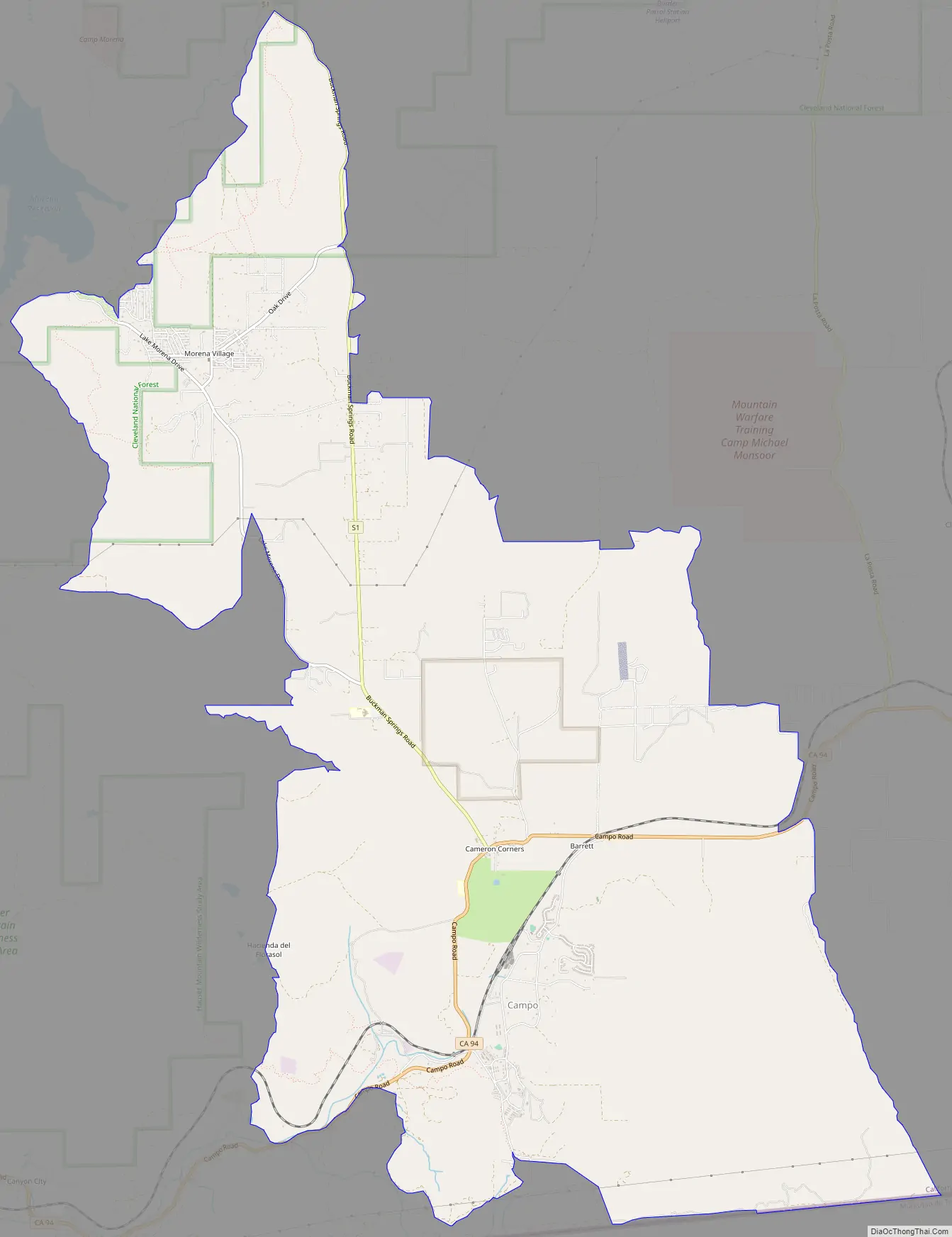
The CDP includes three distinct settlements: Campo, Cameron Corners and Morena Village. Cameron Corners is about one mile (1.6 km) north of Campo. Morena Village is located several miles further north, just east of Lake Morena. These communities all use Campo postal addresses and the ZIP Code 91906.
| Name: | Campo CDP |
|---|---|
| LSAD Code: | 57 |
| LSAD Description: | CDP (suffix) |
| State: | California |
| County: | San Diego County |
| Elevation: | 2,802 ft (854 m) |
| Total Area: | 23.51 sq mi (60.89 km²) |
| Land Area: | 23.50 sq mi (60.88 km²) |
| Water Area: | 0.01 sq mi (0.02 km²) 0.03% |
| Total Population: | 2,955 |
| Population Density: | 125.72/sq mi (48.54/km²) |
| ZIP code: | 91906 |
| Area code: | 619 |
| FIPS code: | 0610508 |
| GNISfeature ID: | 2582962 |
Online Interactive Map
Click on ![]() to view map in "full screen" mode.
to view map in "full screen" mode.
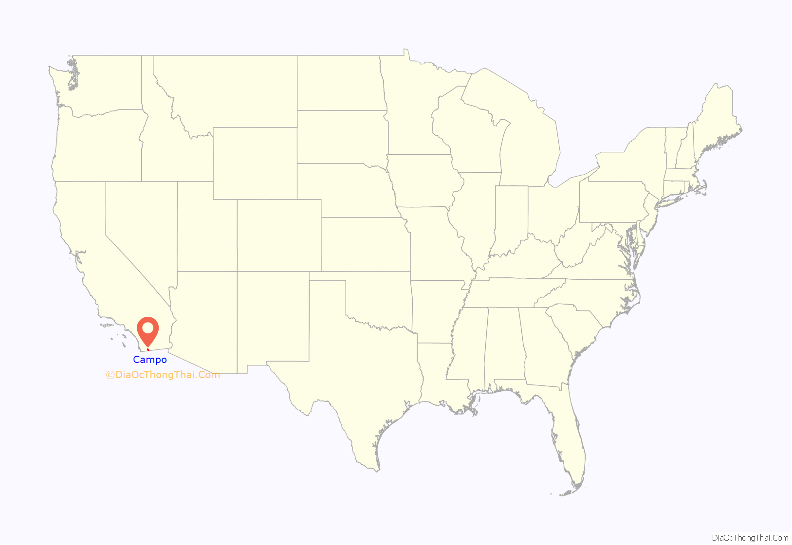
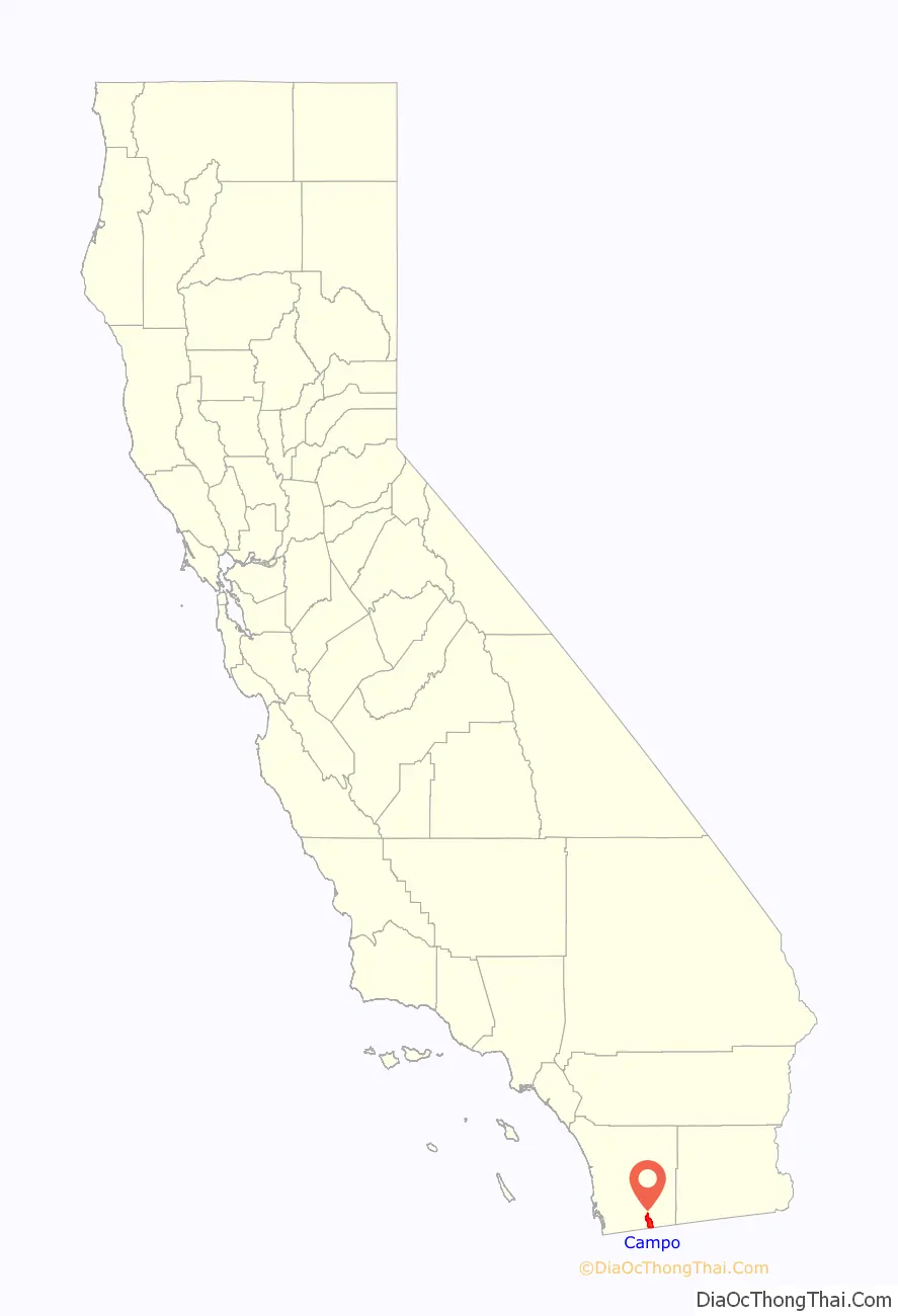
Campo location map. Where is Campo CDP?
History
Morena Dam was constructed between 1896 and 1912 to provide water to the San Diego area.
Campo was a station on the San Diego and Arizona Railway, completed in 1919.
Campo was a military town during World War II and was known as Camp Lockett. It was home to a veterans’ convalescent hospital, a 300-bed Italian Prisoner-of-war camp in Cameron Corners and an all African-American Cavalry unit which patrolled the border on horseback until 1944.
The United States Military continues to maintain activities nearby at La Posta Mountain Warfare Training Facility.
Campo Road Map
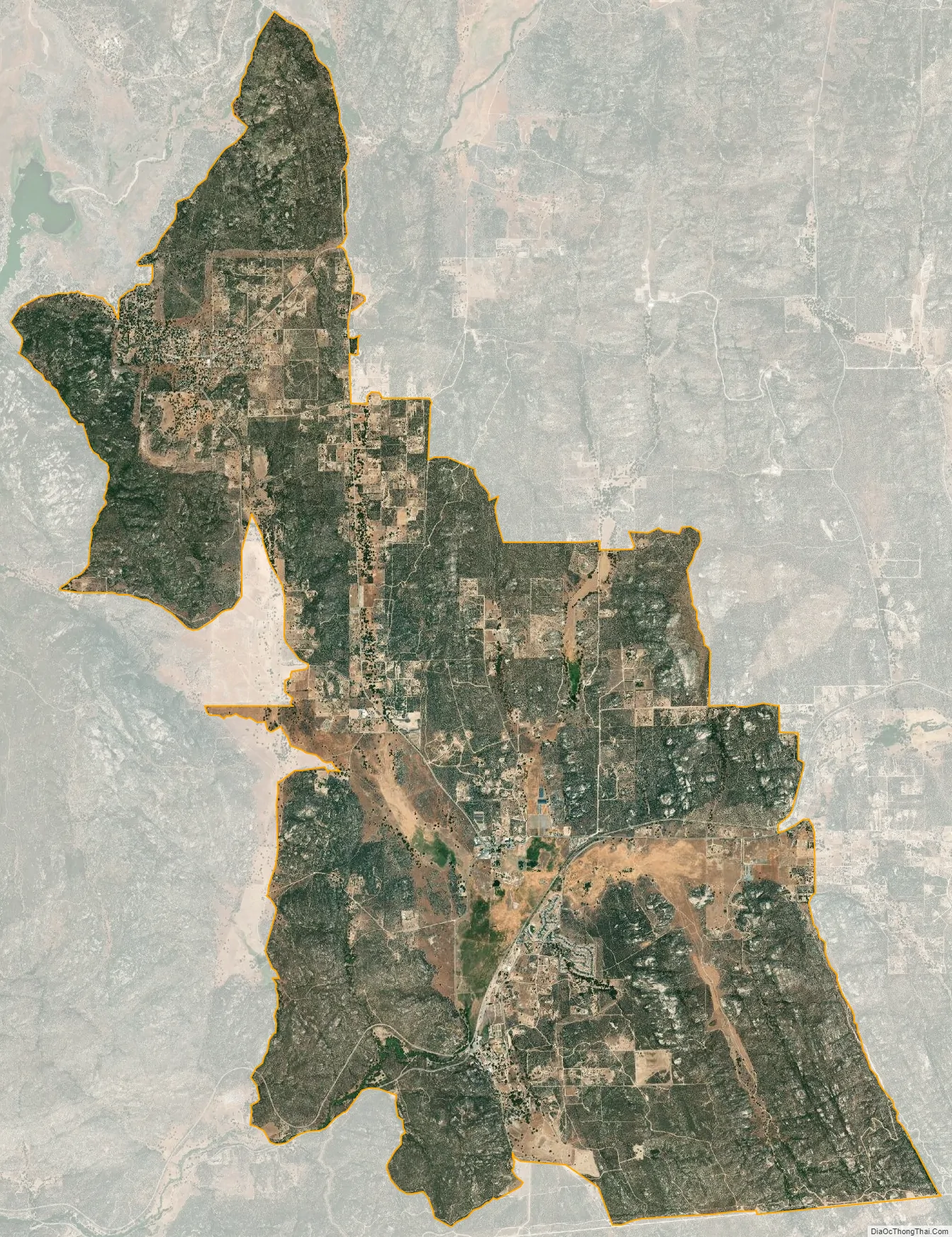
Campo city Satellite Map
Geography
Nearby communities include Boulevard, Potrero, Tecate, Dulzura, Jacumba, Pine Valley, Mount Laguna, Descanso, and Jamul.
According to the United States Census Bureau, the CDP covers an area of 23.5 square miles (60.7 km), 99.97% of it land, and 0.03% of it water.
It is 50 miles (80 km) southeast of San Diego.
Climate
Campo has a hot-summer Mediterranean climate (Csa) with hot, dry summers and cool, relatively wet winters. The diurnal temperature variation is large throughout the year.
See also
Map of California State and its subdivision:- Alameda
- Alpine
- Amador
- Butte
- Calaveras
- Colusa
- Contra Costa
- Del Norte
- El Dorado
- Fresno
- Glenn
- Humboldt
- Imperial
- Inyo
- Kern
- Kings
- Lake
- Lassen
- Los Angeles
- Madera
- Marin
- Mariposa
- Mendocino
- Merced
- Modoc
- Mono
- Monterey
- Napa
- Nevada
- Orange
- Placer
- Plumas
- Riverside
- Sacramento
- San Benito
- San Bernardino
- San Diego
- San Francisco
- San Joaquin
- San Luis Obispo
- San Mateo
- Santa Barbara
- Santa Clara
- Santa Cruz
- Shasta
- Sierra
- Siskiyou
- Solano
- Sonoma
- Stanislaus
- Sutter
- Tehama
- Trinity
- Tulare
- Tuolumne
- Ventura
- Yolo
- Yuba
- Alabama
- Alaska
- Arizona
- Arkansas
- California
- Colorado
- Connecticut
- Delaware
- District of Columbia
- Florida
- Georgia
- Hawaii
- Idaho
- Illinois
- Indiana
- Iowa
- Kansas
- Kentucky
- Louisiana
- Maine
- Maryland
- Massachusetts
- Michigan
- Minnesota
- Mississippi
- Missouri
- Montana
- Nebraska
- Nevada
- New Hampshire
- New Jersey
- New Mexico
- New York
- North Carolina
- North Dakota
- Ohio
- Oklahoma
- Oregon
- Pennsylvania
- Rhode Island
- South Carolina
- South Dakota
- Tennessee
- Texas
- Utah
- Vermont
- Virginia
- Washington
- West Virginia
- Wisconsin
- Wyoming


