Del Mar (Spanish pronunciation: [del ˈmaɾ]; Spanish for “Of the Sea”) is a beach town in San Diego County, California, located on the coast of the Pacific Ocean. Established in 1885 as a seaside resort, the city incorporated in 1959. The Del Mar Horse Races are hosted on the Del Mar racetrack every summer.
In 1885, Colonel Jacob Taylor purchased 338 acres (1.37 km) from Enoch Talbert, with visions of building a seaside resort for the rich and famous. The United States Navy operated a Naval Auxiliary Air Facility for blimps at Del Mar during World War II. The population was 3,954 at the 2020 census, down from 4,161 at the 2010 census.
The town has a wealthy population along the coast and the bluffs above the ocean. These properties are very vulnerable to climate change, which has caused sea level rise and subsequent coastal erosion. The transportation infrastructure is under threat. The city has a climate change adaptation plan which notably excludes the option of a managed retreat, although the strategy was recommended by the California Coastal Commission in 2019.
| Name: | Del Mar city |
|---|---|
| LSAD Code: | 25 |
| LSAD Description: | city (suffix) |
| State: | California |
| County: | San Diego County |
| Incorporated: | July 15, 1959 |
| Elevation: | 112 ft (34 m) |
| Land Area: | 1.72 sq mi (4.45 km²) |
| Water Area: | 0.06 sq mi (0.14 km²) 3.94% |
| Population Density: | 2,302.85/sq mi (889.19/km²) |
| ZIP code: | 92014 |
| Area code: | 858 |
| FIPS code: | 0618506 |
| GNISfeature ID: | 1656480 |
| Website: | www.delmar.ca.us |
Online Interactive Map
Click on ![]() to view map in "full screen" mode.
to view map in "full screen" mode.
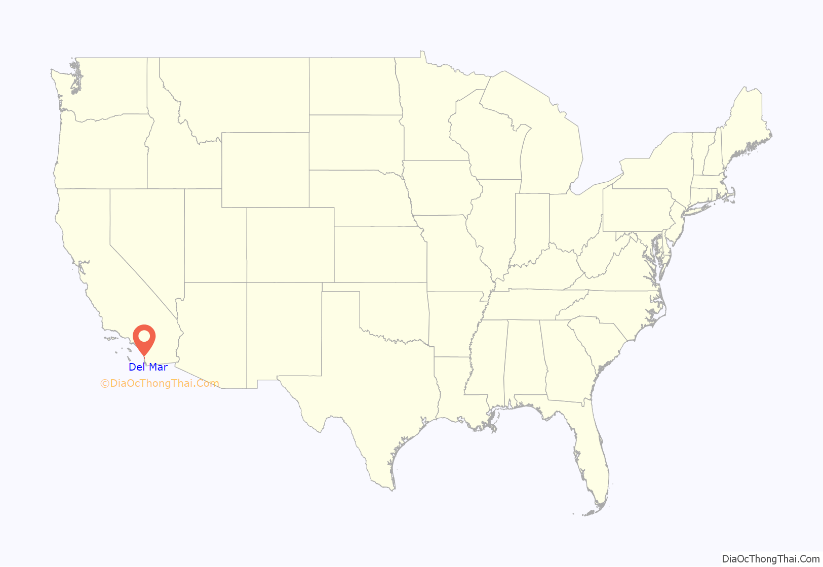
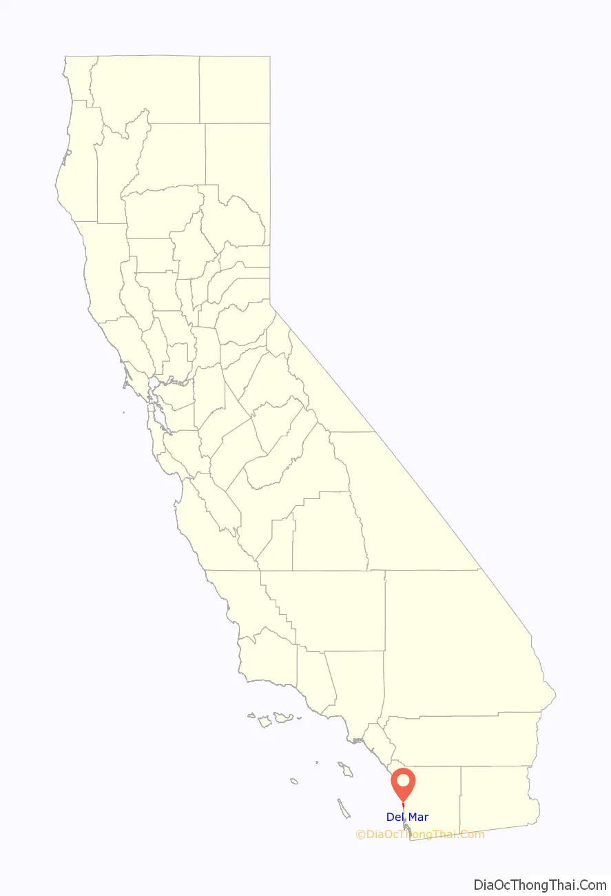
Del Mar location map. Where is Del Mar city?
History
Del Mar was first settled in the early 1880s by Theodore M. Loop, a railroad official, and his wife Ella. Ella gave the site its name, inspired by Bayard Taylor’s poem “The Fight of Paso del Mar”. In 1885, Del Mar was officially founded after another settler, “Colonel” Jacob Taylor, purchased the land from homesteader Enoch Talbert.
In 2023, the city was out of compliance with the state Housing Element Law. They submitted a housing plan to the state that did not meet guidelines for future housing. They were working with the state to get in compliance, but until they did, they couldn’t block new housing projects based on city zoning laws alone.
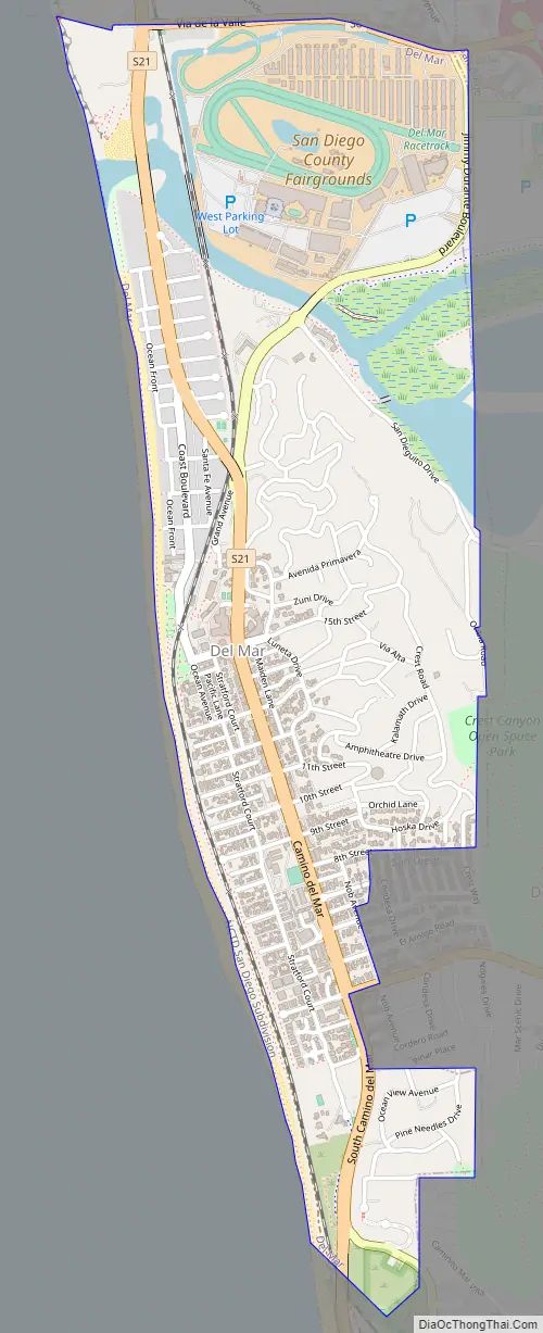
Del Mar Road Map
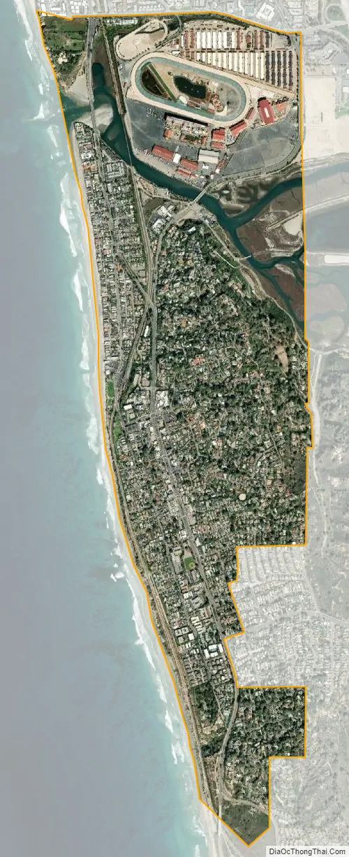
Del Mar city Satellite Map
Geography
Del Mar is one of only two locations where the Torrey pine tree naturally occurs. The Torrey pine is the rarest pine in the United States; only two populations of this endangered species exist, in Del Mar and on Santa Rosa Island. The Soledad Valley at the south of Del Mar severs two colony segments.
At the southern edge of Del Mar is the Los Peñasquitos Lagoon. To the north is the San Dieguito Lagoon and the San Dieguito River, which empties into the Pacific Ocean at Del Mar. The bluffs along Del Mar’s south beach are subject to collapse.
According to the United States Census Bureau, the city has a total area of 1.8 square miles (4.7 km), of which 1.7 square miles (4.4 km) of it is land and 0.1 square miles (0.26 km) of it (3.94%) is water.
Climate
Del Mar’s climate is considered mediterranean-subtropical with warm, dry summers and mild, humid winters. Temperatures exceed 85 °F (29 °C) only on a few occasions throughout the year and rarely drop below 41 °F (5 °C). The average yearly temperature in Del Mar is approximately 65 °F (18 °C).
See also
Map of California State and its subdivision:- Alameda
- Alpine
- Amador
- Butte
- Calaveras
- Colusa
- Contra Costa
- Del Norte
- El Dorado
- Fresno
- Glenn
- Humboldt
- Imperial
- Inyo
- Kern
- Kings
- Lake
- Lassen
- Los Angeles
- Madera
- Marin
- Mariposa
- Mendocino
- Merced
- Modoc
- Mono
- Monterey
- Napa
- Nevada
- Orange
- Placer
- Plumas
- Riverside
- Sacramento
- San Benito
- San Bernardino
- San Diego
- San Francisco
- San Joaquin
- San Luis Obispo
- San Mateo
- Santa Barbara
- Santa Clara
- Santa Cruz
- Shasta
- Sierra
- Siskiyou
- Solano
- Sonoma
- Stanislaus
- Sutter
- Tehama
- Trinity
- Tulare
- Tuolumne
- Ventura
- Yolo
- Yuba
- Alabama
- Alaska
- Arizona
- Arkansas
- California
- Colorado
- Connecticut
- Delaware
- District of Columbia
- Florida
- Georgia
- Hawaii
- Idaho
- Illinois
- Indiana
- Iowa
- Kansas
- Kentucky
- Louisiana
- Maine
- Maryland
- Massachusetts
- Michigan
- Minnesota
- Mississippi
- Missouri
- Montana
- Nebraska
- Nevada
- New Hampshire
- New Jersey
- New Mexico
- New York
- North Carolina
- North Dakota
- Ohio
- Oklahoma
- Oregon
- Pennsylvania
- Rhode Island
- South Carolina
- South Dakota
- Tennessee
- Texas
- Utah
- Vermont
- Virginia
- Washington
- West Virginia
- Wisconsin
- Wyoming


