Descanso (Spanish for “Rest”; Kumeyaay: Wataay) is a small unincorporated community in the Cuyamaca Mountains, within the Mountain Empire area of southeastern San Diego County, California. The community’s name is a Spanish word meaning “rest from labor”.
The population was 1,423 at the 2010 census. For statistical purposes, the United States Census Bureau as designated Descanso as a census-designated place. It is in California’s 50th congressional district.
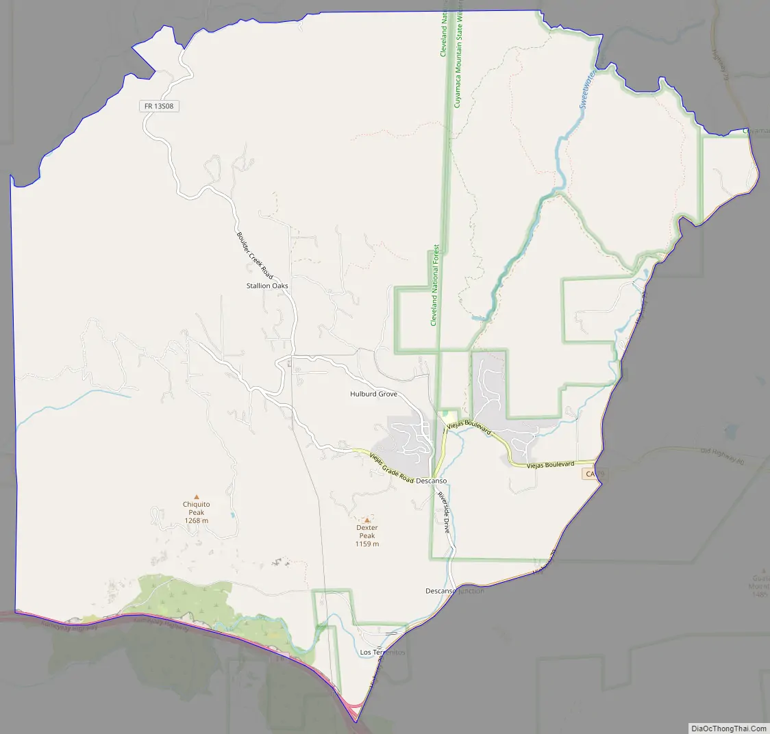
Descanso is located east of Alpine and west of Pine Valley. At a 3,450 feet (1,050 m) elevation, it is located at the south entrance to Cuyamaca Rancho State Park and also borders Cleveland National Forest to the west and east.
The area was heavily threatened by the 2003 Cedar Fire. The community consists of many small ranches and newer homes of San Diego commuters. Horseback riding and hiking are frequent pastimes due to the proximity to San Diego’s back-country recreation areas. It is approximately a 50-minute commute from downtown San Diego. The majority of residents generally commute to San Diego as the local job market is limited. Community radio station KNSJ operates out of Descanso.
The Descanso Fire Station of the United States Forest Service is home to the Laguna Hotshots. Descanso is home to many firefighters, and many local teenagers join either the Forest Service or the California Department of Forestry and Fire Protection (which also provides direct fire and EMS protection to the community).
The ZIP Code is 91916 and the community is inside area code 619.
| Name: | Descanso CDP |
|---|---|
| LSAD Code: | 57 |
| LSAD Description: | CDP (suffix) |
| State: | California |
| County: | San Diego County |
| Elevation: | 3,573 ft (1,089 m) |
| Total Area: | 19.16 sq mi (49.61 km²) |
| Land Area: | 19.16 sq mi (49.61 km²) |
| Water Area: | 0.00 sq mi (0.00 km²) 0% |
| Total Population: | 1,499 |
| Population Density: | 78.25/sq mi (30.21/km²) |
| ZIP code: | 91916 |
| Area code: | 619 |
| FIPS code: | 0618940 |
| GNISfeature ID: | 2582992 |
Online Interactive Map
Click on ![]() to view map in "full screen" mode.
to view map in "full screen" mode.
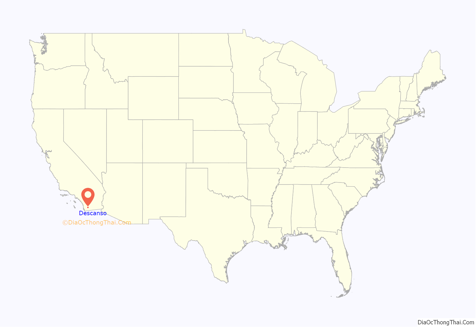
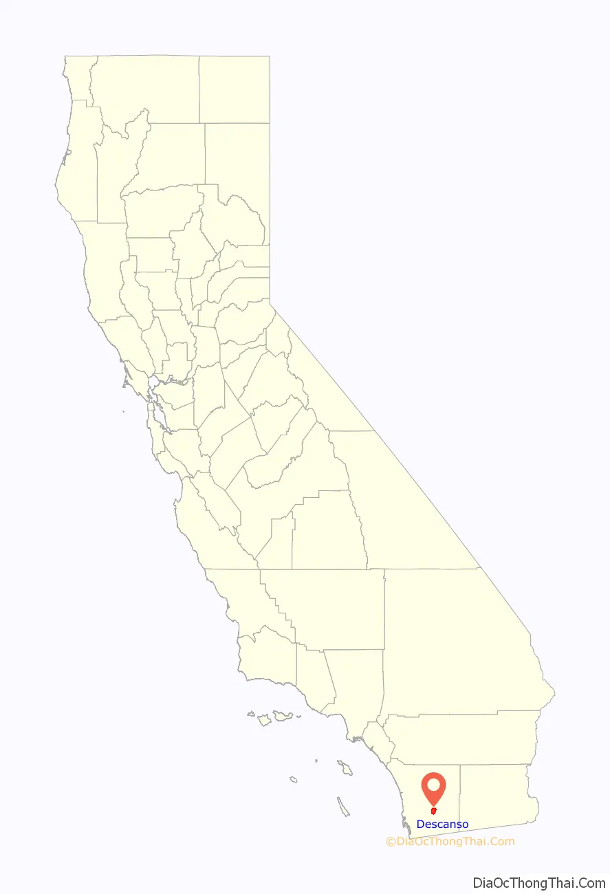
Descanso location map. Where is Descanso CDP?
Descanso Road Map
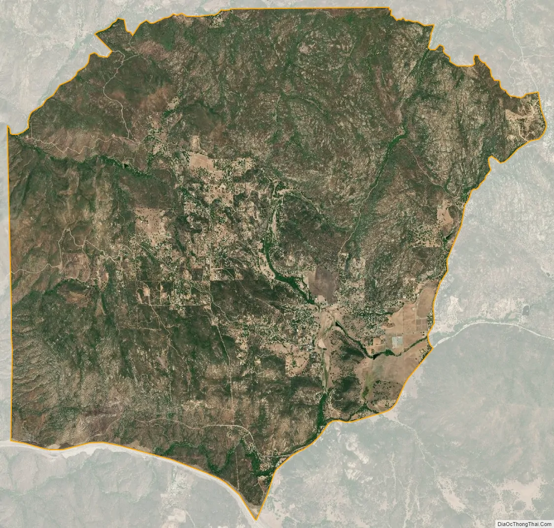
Descanso city Satellite Map
Geography
According to the United States Census Bureau, the CDP covers an area of 19.2 square miles (49.8 km), all of it land.
Climate
According to the Köppen Climate Classification system, Descanso has a warm-summer Mediterranean climate, abbreviated “Csa” on climate maps.
See also
Map of California State and its subdivision:- Alameda
- Alpine
- Amador
- Butte
- Calaveras
- Colusa
- Contra Costa
- Del Norte
- El Dorado
- Fresno
- Glenn
- Humboldt
- Imperial
- Inyo
- Kern
- Kings
- Lake
- Lassen
- Los Angeles
- Madera
- Marin
- Mariposa
- Mendocino
- Merced
- Modoc
- Mono
- Monterey
- Napa
- Nevada
- Orange
- Placer
- Plumas
- Riverside
- Sacramento
- San Benito
- San Bernardino
- San Diego
- San Francisco
- San Joaquin
- San Luis Obispo
- San Mateo
- Santa Barbara
- Santa Clara
- Santa Cruz
- Shasta
- Sierra
- Siskiyou
- Solano
- Sonoma
- Stanislaus
- Sutter
- Tehama
- Trinity
- Tulare
- Tuolumne
- Ventura
- Yolo
- Yuba
- Alabama
- Alaska
- Arizona
- Arkansas
- California
- Colorado
- Connecticut
- Delaware
- District of Columbia
- Florida
- Georgia
- Hawaii
- Idaho
- Illinois
- Indiana
- Iowa
- Kansas
- Kentucky
- Louisiana
- Maine
- Maryland
- Massachusetts
- Michigan
- Minnesota
- Mississippi
- Missouri
- Montana
- Nebraska
- Nevada
- New Hampshire
- New Jersey
- New Mexico
- New York
- North Carolina
- North Dakota
- Ohio
- Oklahoma
- Oregon
- Pennsylvania
- Rhode Island
- South Carolina
- South Dakota
- Tennessee
- Texas
- Utah
- Vermont
- Virginia
- Washington
- West Virginia
- Wisconsin
- Wyoming


