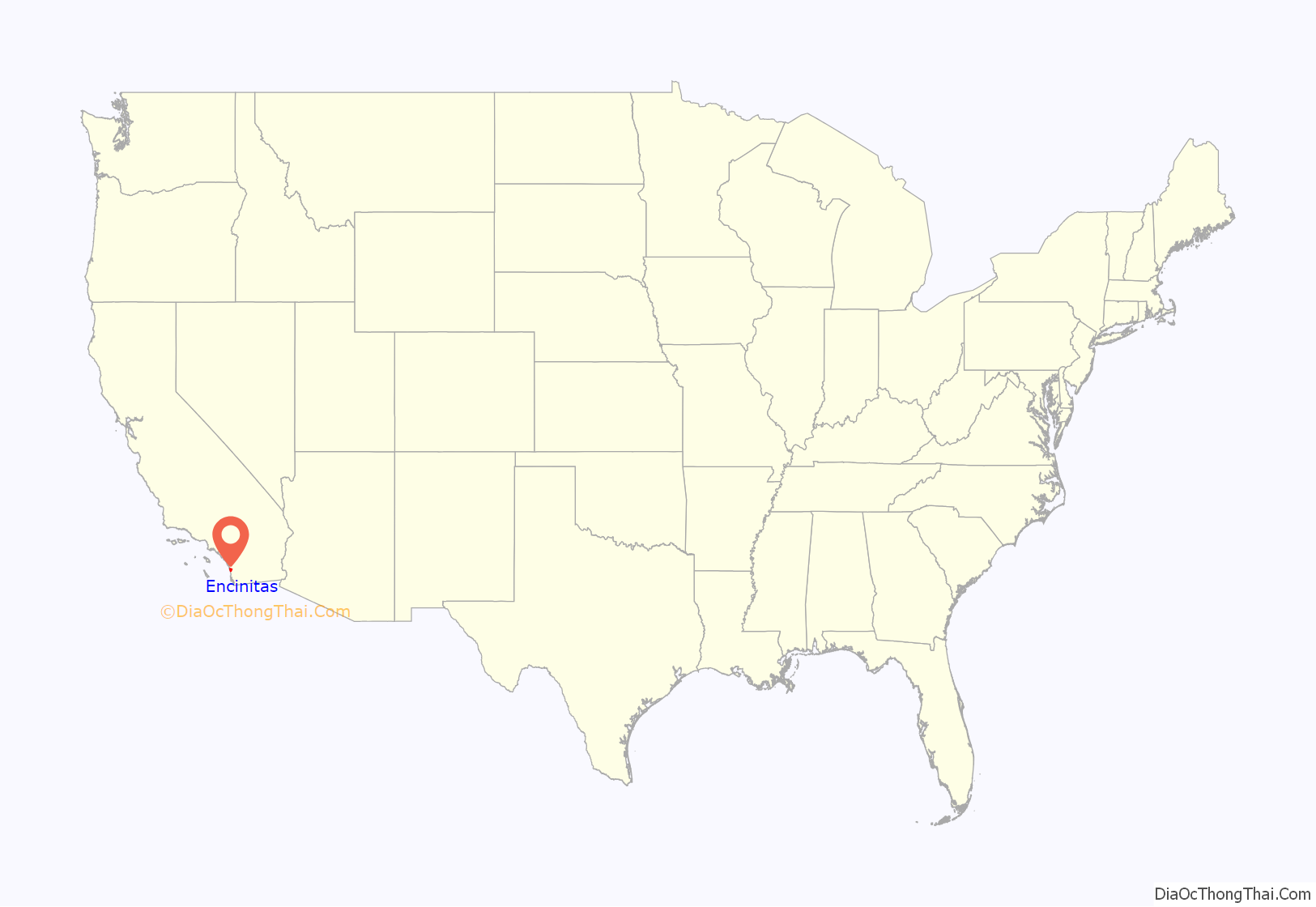
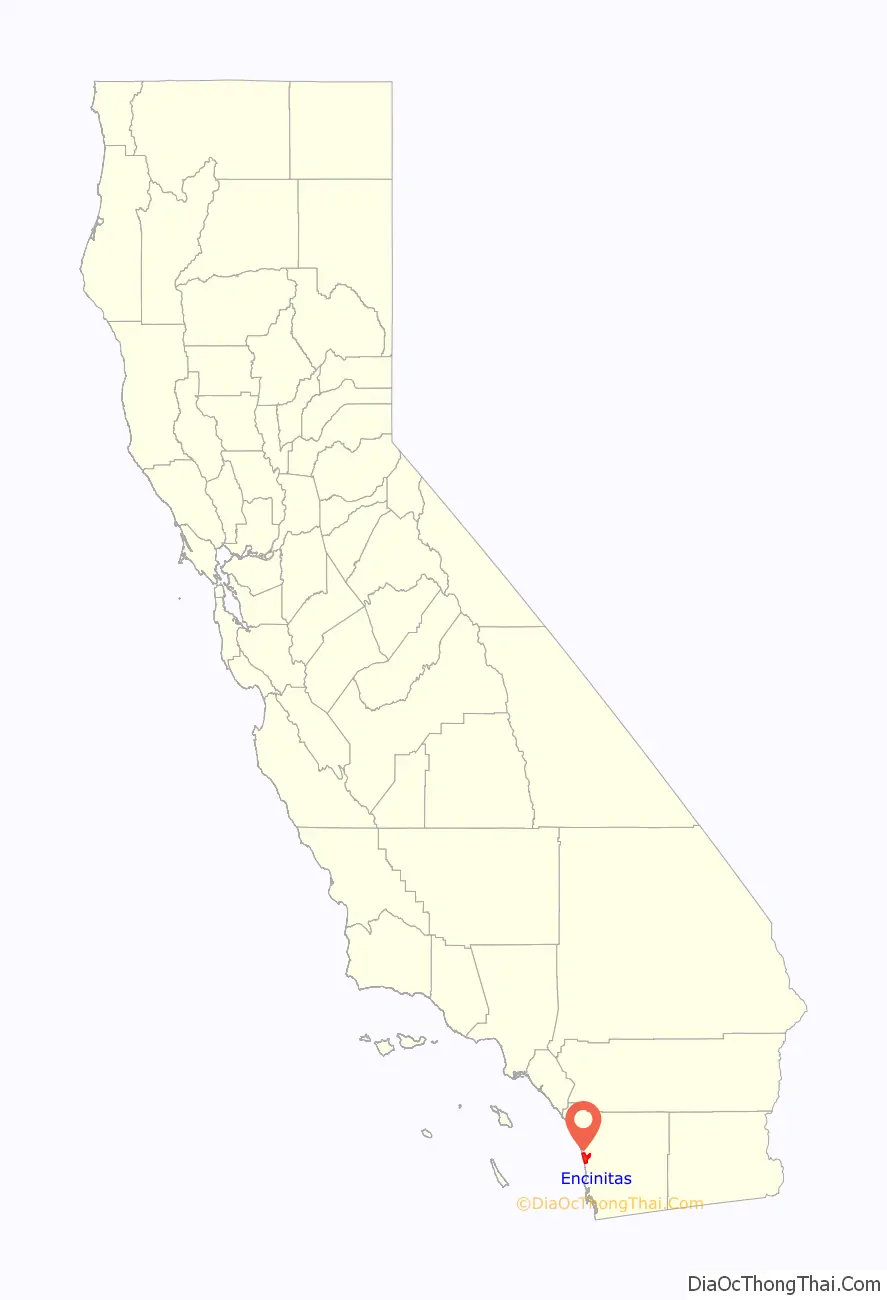
Encinitas (Spanish for “Small Oaks”) is a beach city in the North County area of San Diego County, California. Located within Southern California, it is approximately 25 miles (40 km) north of San Diego, between Solana Beach and Carlsbad, and about 95 miles (153 km) south of Los Angeles. As of the 2020 United States census, the city had a population of 62,007, up from 59,518 at the 2010 census.
| Name: | Encinitas city |
|---|---|
| LSAD Code: | 25 |
| LSAD Description: | city (suffix) |
| State: | California |
| County: | San Diego County |
| Incorporated: | October 1, 1986 |
| Elevation: | 82 ft (25 m) |
| Total Area: | 20.16 sq mi (52.21 km²) |
| Land Area: | 19.06 sq mi (49.35 km²) |
| Water Area: | 1.10 sq mi (2.85 km²) 5.89% |
| Total Population: | 62,007 |
| Population Density: | 3,100/sq mi (1,200/km²) |
| ZIP code: | 92007, 92023, 92024 |
| FIPS code: | 0622678 |
| Website: | www.encinitasca.gov |
Online Interactive Map
Click on ![]() to view map in "full screen" mode.
to view map in "full screen" mode.
Encinitas location map. Where is Encinitas city?
History
The first people to settle in Encinitas were the Kumeyaay. Gaspar de Portolá, governor of Baja California, visited the area in 1769 during the Portolá expedition and met residents from the nearby Kumeyaay village of Jeyal or Heyal, near the San Elijo Lagoon. Portolá named the valley Los Encinos for the oak forest along El Camino Real, where there was also a village that was likely known as Hakutl in New Encinitas.
After Mexican Independence, land was granted to Andrés Ybarra in 1842 to build Rancho Las Encinitas in what is now Olivenhain and New Encinitas, from which Encinitas got its namesake. Encinitas is a Spanish name meaning “little oaks”.
The town of Old Encinitas formed in 1881 by Jabez Pitcher.
The city was incorporated by 69.3% of the voters in 1986 from the communities of historic Encinitas, New Encinitas (Village Park, etc.), Leucadia, Cardiff-by-the-Sea, and Olivenhain. The communities retain their identities and distinctive flavors.
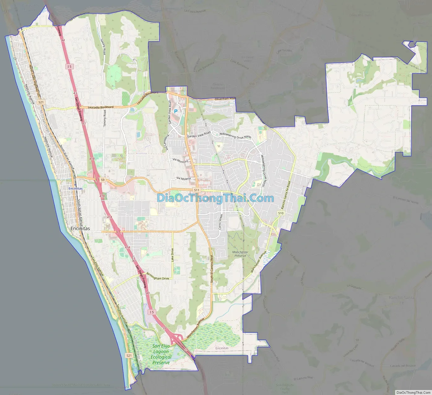
Encinitas Road Map
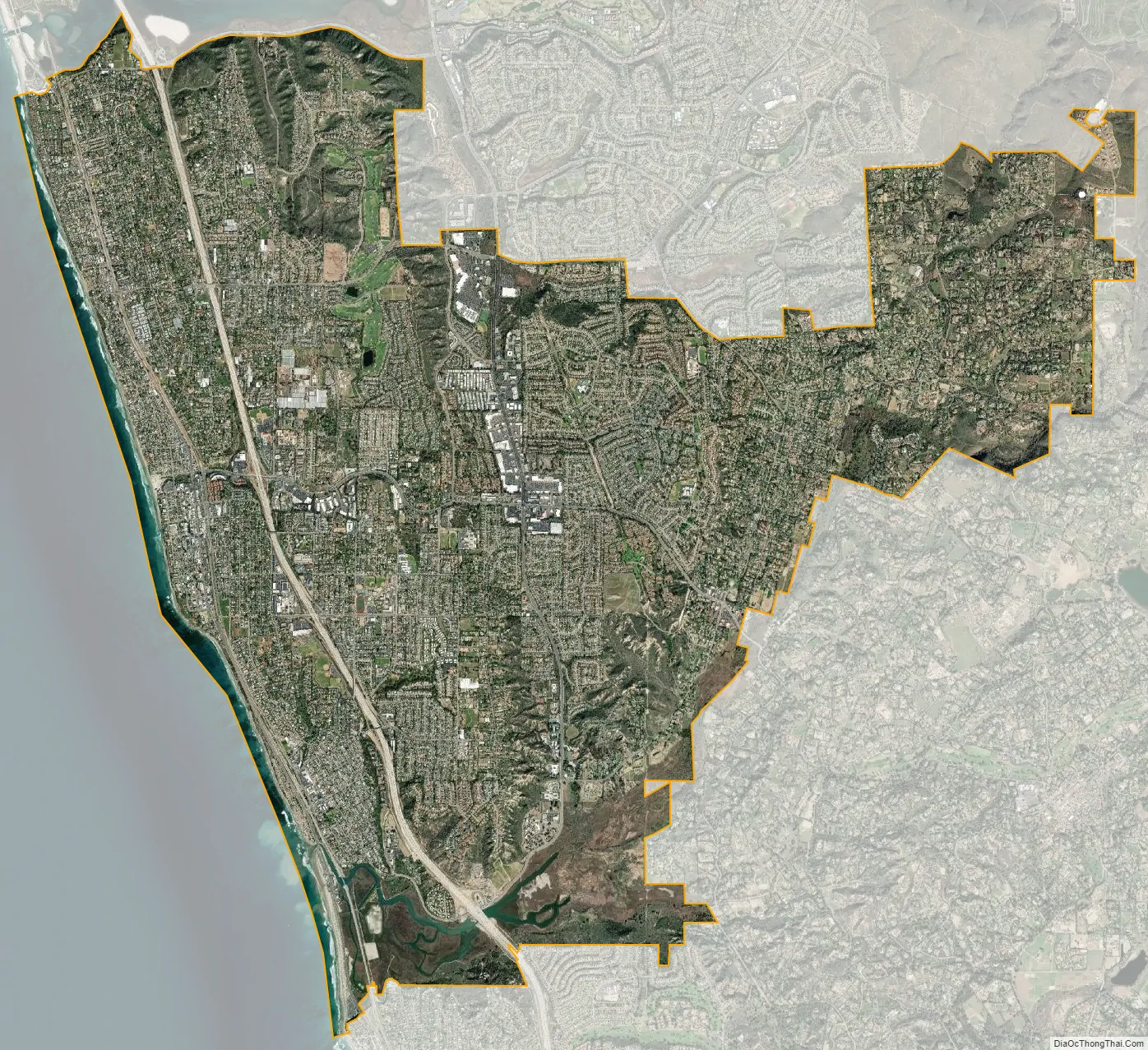
Encinitas city Satellite Map
Geography
Encinitas lies on rugged coastal terrace. The city is bisected by a low-lying coastal ridge that separates New and Old Encinitas. In the north of the city, the coast rises in elevation and the land is raised up in the form of many coastal bluffs. These cliffs are subject to collapsing on the narrow beach. The city is bounded by Batiquitos Lagoon to the north and San Elijo Lagoon to the south.
According to the United States Census Bureau, the city has a total area of 20.0 square miles (52 km). 18.8 square miles (49 km) of it is land and 1.2 square miles (3.1 km) of it (5.89%) is water. The city’s elevation ranges between sea level and 402 feet (123 m) above sea level.
Communities
Encinitas can be divided into five areas:
- Old Encinitas: a small beachside area featuring a mix of businesses and housing styles. Sitting along Coast Highway 101 (Historic US 101), the Encinitas welcome arch, the famous surf break Swamis, and the early 20th century La Paloma Theater are located here. Old Encinitas is divided from New Encinitas by a low coastal ridge.
- New Encinitas: a newer region which features a golf course, many shopping centers, and is composed of larger tract homes.
- Olivenhain: a semi-rural region in eastern Encinitas, composed of mostly single family homes, an active 4-H Club, and several private equestrian facilities. Olivenhain connects to Rancho Santa Fe via Encinitas Boulevard.
- Leucadia: a coastal community of the city. Leucadia features tree-lined streets and boulevards. The community features art galleries, unusual stores, and restaurants, along with single family homes. This also contains beaches such as Beacons and Grandview.
- Cardiff-by-the-Sea: Encinitas’ southernmost oceanfront community, which features streets named after British cities and classical composers, the Lux Art Institute, and the San Elijo Campus of Mira Costa College.
Climate
Encinitas has a very mild, Mediterranean climate. Average daily high temperature is 72 °F (22 °C). Temperatures below 40 °F (4 °C) and above 85 °F (29 °C) are rare. Average rainfall is about 10 inches (250 mm) per year. The wet season lasts during the winter and spring, when temperatures are usually cool. Average daytime temperatures hit 65 °F in winter and spring, when rain and marine layer (fog) are common (May Gray/June Gloom). Nighttime lows range from 45 to 55 °F. The dry season lasts from summer through fall, with average daytime temperatures ranging from 75 to 85 °F, and nighttime lows being from the upper 50s–60s°F. Ocean water temperatures average 60 °F in winter, 64 °F in spring, 70 °F in summer, and 66 °F in fall. In winter, strong Pacific storms can bring heavy rain. During the winter of 2015–2016, the area saw rounds of severe thunderstorms.
See also
Map of California State and its subdivision:- Alameda
- Alpine
- Amador
- Butte
- Calaveras
- Colusa
- Contra Costa
- Del Norte
- El Dorado
- Fresno
- Glenn
- Humboldt
- Imperial
- Inyo
- Kern
- Kings
- Lake
- Lassen
- Los Angeles
- Madera
- Marin
- Mariposa
- Mendocino
- Merced
- Modoc
- Mono
- Monterey
- Napa
- Nevada
- Orange
- Placer
- Plumas
- Riverside
- Sacramento
- San Benito
- San Bernardino
- San Diego
- San Francisco
- San Joaquin
- San Luis Obispo
- San Mateo
- Santa Barbara
- Santa Clara
- Santa Cruz
- Shasta
- Sierra
- Siskiyou
- Solano
- Sonoma
- Stanislaus
- Sutter
- Tehama
- Trinity
- Tulare
- Tuolumne
- Ventura
- Yolo
- Yuba
- Alabama
- Alaska
- Arizona
- Arkansas
- California
- Colorado
- Connecticut
- Delaware
- District of Columbia
- Florida
- Georgia
- Hawaii
- Idaho
- Illinois
- Indiana
- Iowa
- Kansas
- Kentucky
- Louisiana
- Maine
- Maryland
- Massachusetts
- Michigan
- Minnesota
- Mississippi
- Missouri
- Montana
- Nebraska
- Nevada
- New Hampshire
- New Jersey
- New Mexico
- New York
- North Carolina
- North Dakota
- Ohio
- Oklahoma
- Oregon
- Pennsylvania
- Rhode Island
- South Carolina
- South Dakota
- Tennessee
- Texas
- Utah
- Vermont
- Virginia
- Washington
- West Virginia
- Wisconsin
- Wyoming


