Farmington is a census-designated place (CDP) in San Joaquin County, California. The population was 172 at the 2020 census, down from 207 at the 2010 census.
| Name: | Farmington CDP |
|---|---|
| LSAD Code: | 57 |
| LSAD Description: | CDP (suffix) |
| State: | California |
| County: | San Joaquin County |
| Elevation: | 112 ft (34 m) |
| Total Area: | 2.542 sq mi (6.584 km²) |
| Land Area: | 2.542 sq mi (6.584 km²) |
| Water Area: | 0 sq mi (0 km²) 0% |
| Total Population: | 172 |
| Population Density: | 68/sq mi (26/km²) |
| ZIP code: | 95230 |
| Area code: | 209 |
| FIPS code: | 0623630 |
| GNISfeature ID: | 1656009 |
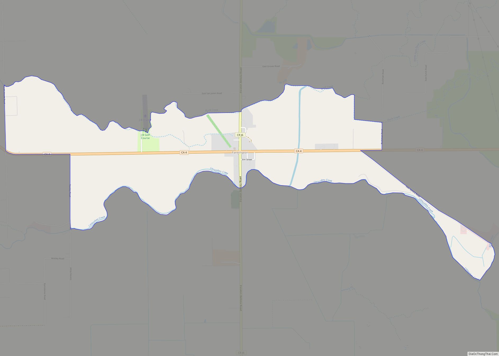
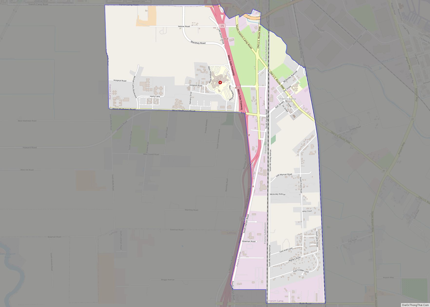
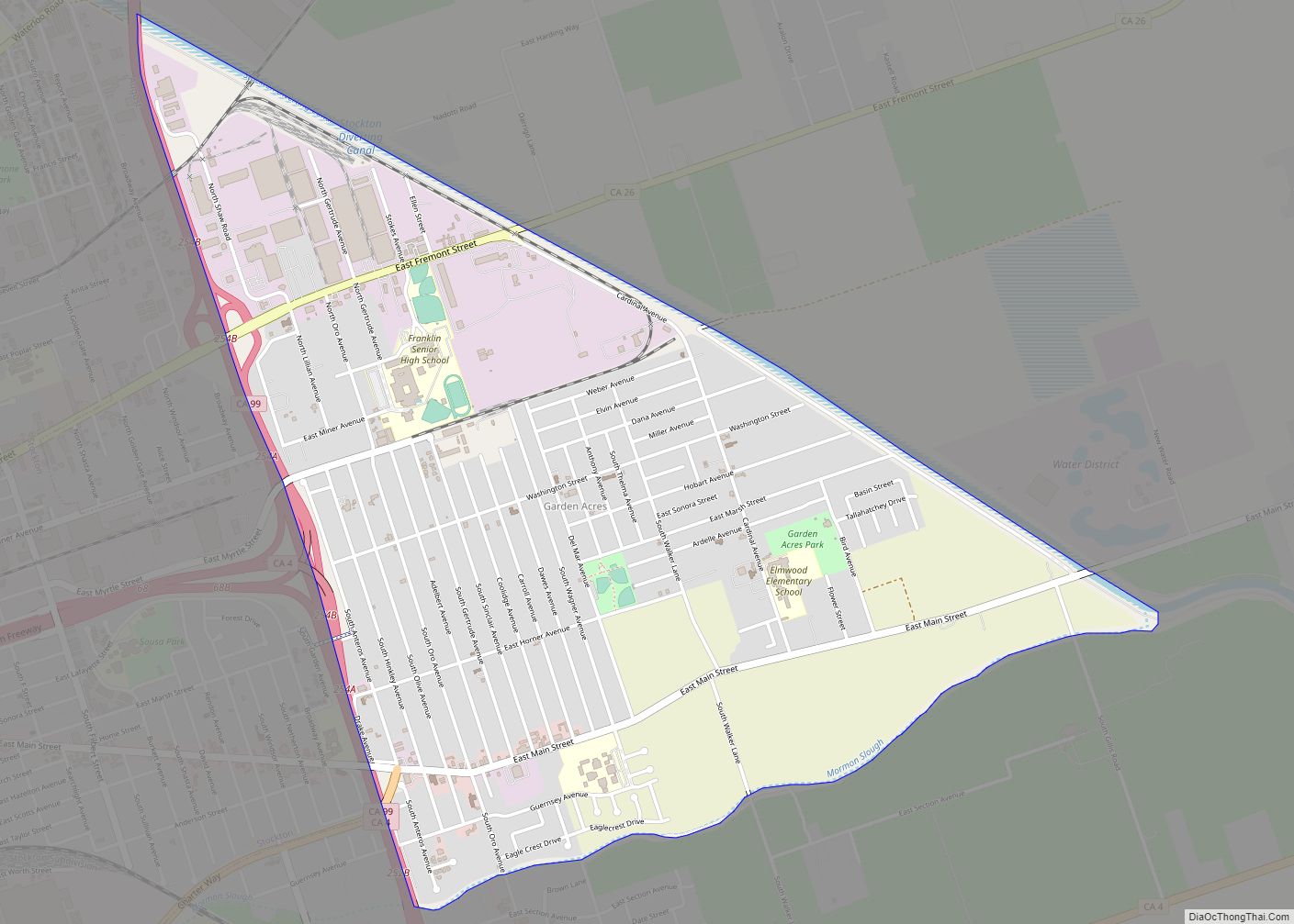
Online Interactive Map
Click on ![]() to view map in "full screen" mode.
to view map in "full screen" mode.
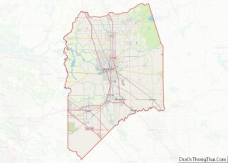
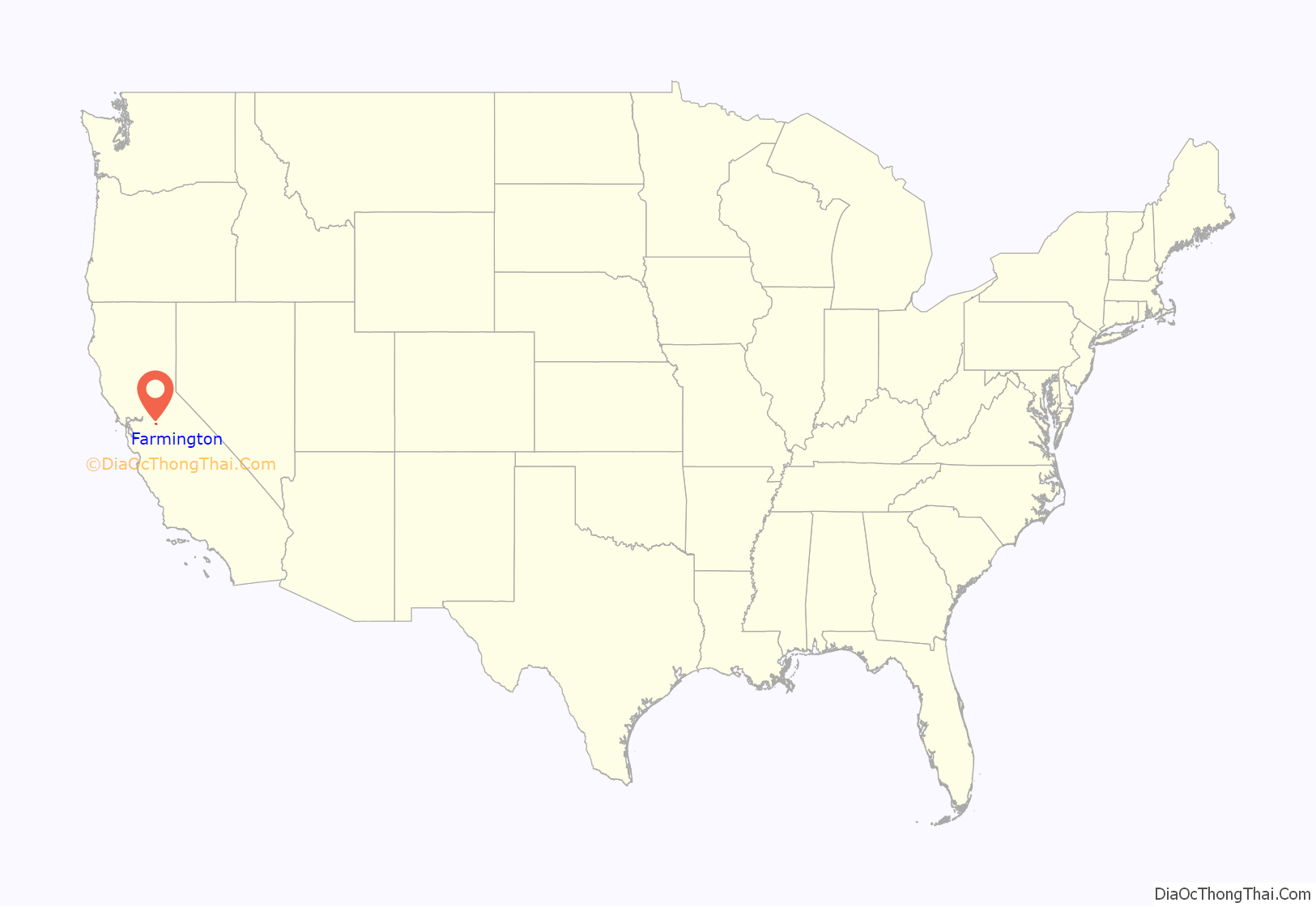
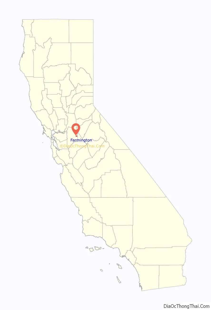
Farmington location map. Where is Farmington CDP?
History
Farmington was so named to distinguish its agricultural setting from the nearby mining regions.
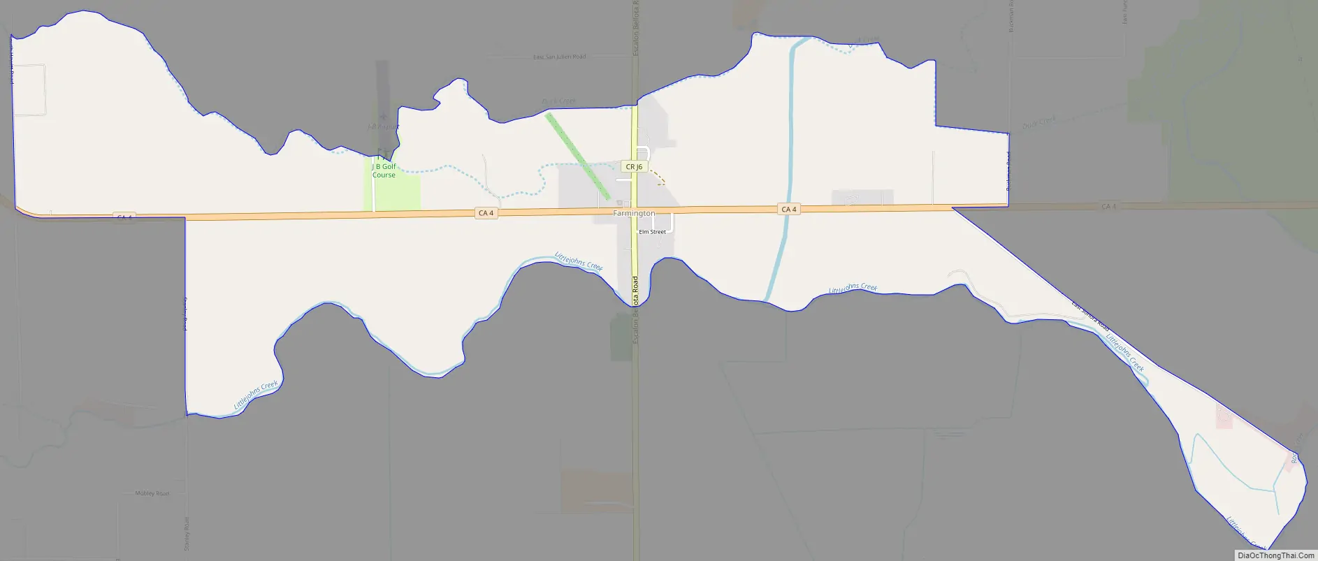
Farmington Road Map
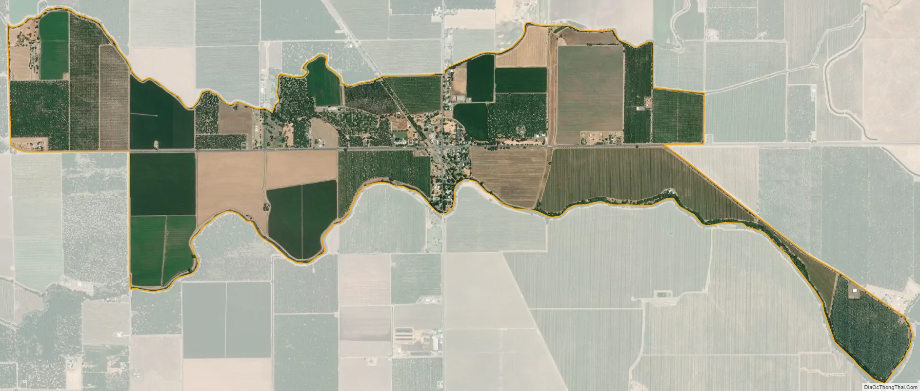
Farmington city Satellite Map
Geography
Farmington is located at 37°55′47″N 120°59′58″W / 37.92972°N 120.99944°W / 37.92972; -120.99944 (37.929625, -120.999574). According to the United States Census Bureau, the CDP has a total area of 2.5 square miles (6.5 km), all of it land. The town has a school, firehouse, bar, Circle K, Shell gas station, general store, and post office. Barren, low hills lie to the immediate east of the town, and farther east are the Sierra Nevada mountains. Stockton East Creek flows along the southern border of Farmington, paralleling Highway 4 for a short distance. The creek and many other places nearby were used as locations in the 1958 film The Big Country, as was scenes for the movie, Dirty Mary, Crazy Larry (1974).
See also
Map of California State and its subdivision:- Alameda
- Alpine
- Amador
- Butte
- Calaveras
- Colusa
- Contra Costa
- Del Norte
- El Dorado
- Fresno
- Glenn
- Humboldt
- Imperial
- Inyo
- Kern
- Kings
- Lake
- Lassen
- Los Angeles
- Madera
- Marin
- Mariposa
- Mendocino
- Merced
- Modoc
- Mono
- Monterey
- Napa
- Nevada
- Orange
- Placer
- Plumas
- Riverside
- Sacramento
- San Benito
- San Bernardino
- San Diego
- San Francisco
- San Joaquin
- San Luis Obispo
- San Mateo
- Santa Barbara
- Santa Clara
- Santa Cruz
- Shasta
- Sierra
- Siskiyou
- Solano
- Sonoma
- Stanislaus
- Sutter
- Tehama
- Trinity
- Tulare
- Tuolumne
- Ventura
- Yolo
- Yuba
- Alabama
- Alaska
- Arizona
- Arkansas
- California
- Colorado
- Connecticut
- Delaware
- District of Columbia
- Florida
- Georgia
- Hawaii
- Idaho
- Illinois
- Indiana
- Iowa
- Kansas
- Kentucky
- Louisiana
- Maine
- Maryland
- Massachusetts
- Michigan
- Minnesota
- Mississippi
- Missouri
- Montana
- Nebraska
- Nevada
- New Hampshire
- New Jersey
- New Mexico
- New York
- North Carolina
- North Dakota
- Ohio
- Oklahoma
- Oregon
- Pennsylvania
- Rhode Island
- South Carolina
- South Dakota
- Tennessee
- Texas
- Utah
- Vermont
- Virginia
- Washington
- West Virginia
- Wisconsin
- Wyoming