Inverness is an unincorporated community and census-designated place (CDP) in western Marin County, California, United States. It is located on the southwest shore of Tomales Bay 3.5 miles (5.6 kilometers) northwest of Point Reyes Station and about 40 miles (64 km) by road northwest of San Francisco, at an elevation of 43 feet (13 meters). In the 2020 census, the population was 1,379. The community was named by a Scottish landowner after Inverness in Scotland.
| Name: | Inverness CDP |
|---|---|
| LSAD Code: | 57 |
| LSAD Description: | CDP (suffix) |
| State: | California |
| County: | Marin County |
| Elevation: | 43 ft (13 m) |
| Total Area: | 6.836 sq mi (17.71 km²) |
| Land Area: | 6.400 sq mi (16.58 km²) |
| Water Area: | 0.436 sq mi (1.13 km²) 6.38% |
| Total Population: | 1,379 |
| Population Density: | 215.5/sq mi (83.2/km²) |
| ZIP code: | 94937 |
| FIPS code: | 0636616 |
| GNISfeature ID: | 1658827 |
Online Interactive Map
Click on ![]() to view map in "full screen" mode.
to view map in "full screen" mode.
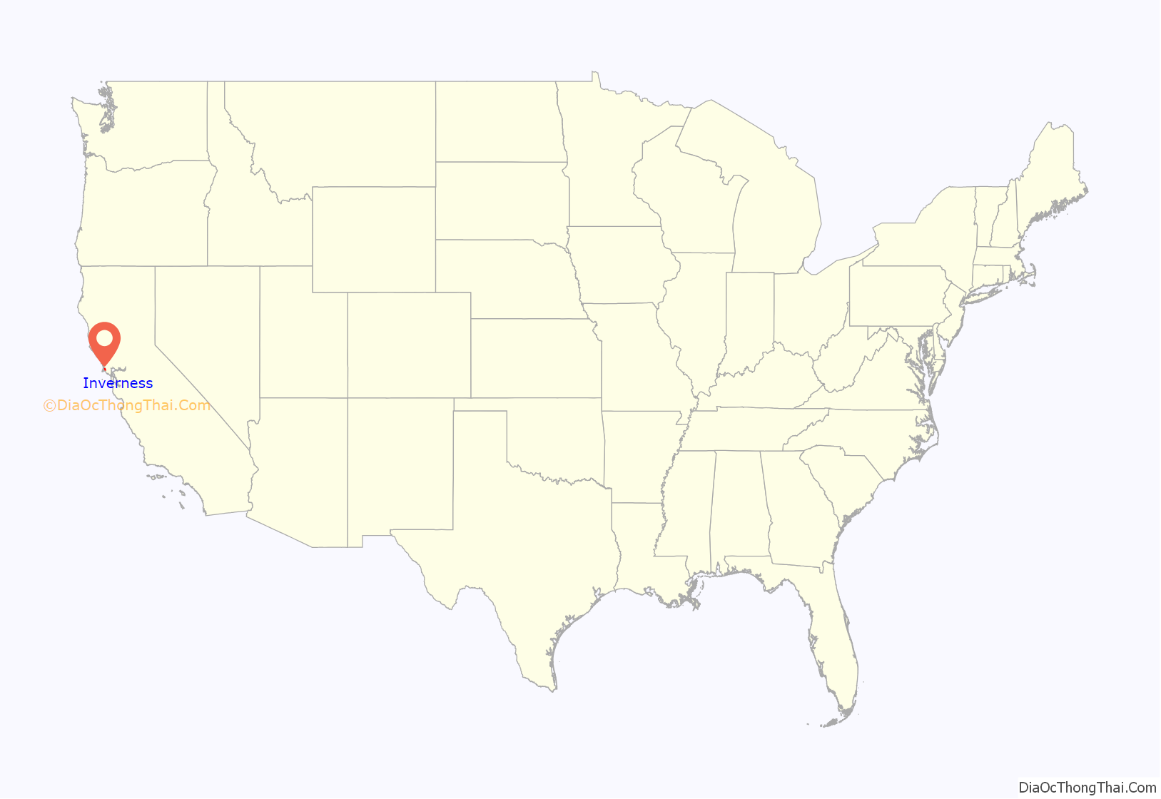
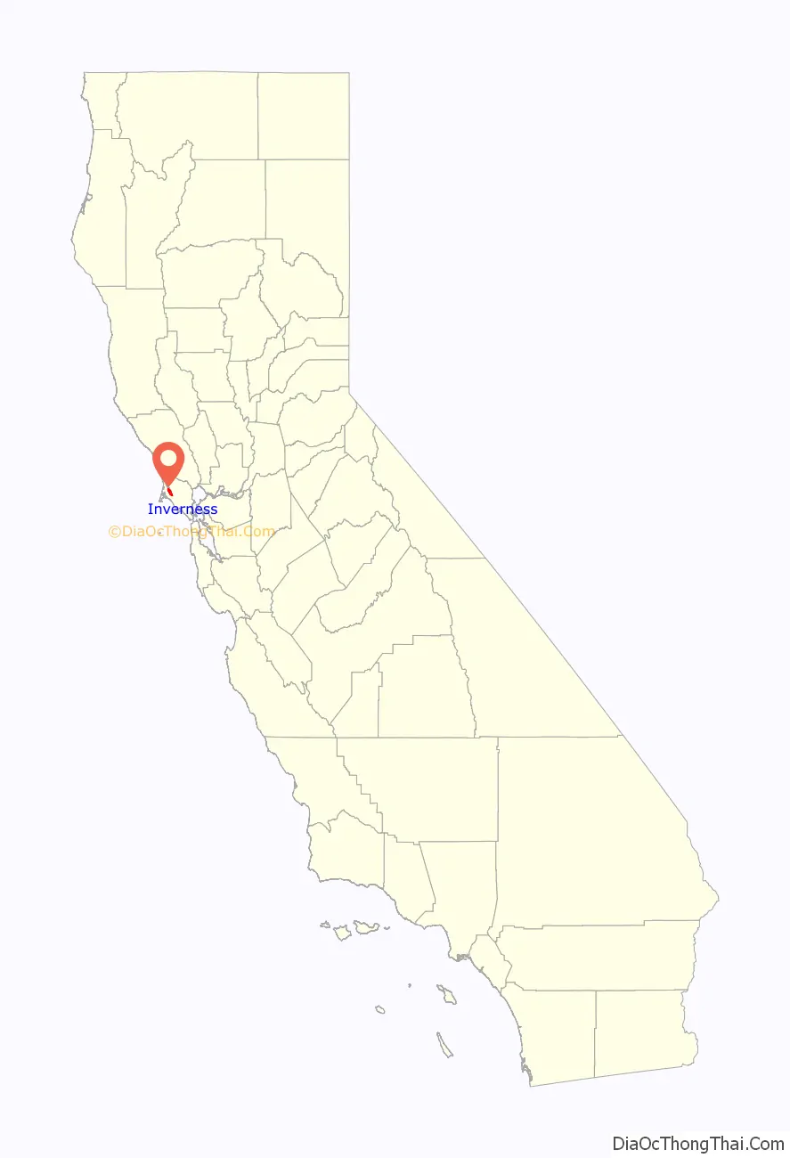
Inverness location map. Where is Inverness CDP?
History
The town is 5 miles (8 km) or so northeast of Drakes Bay on the Pacific Ocean, named after Sir Francis Drake, who explored the coast in the 16th century. Although Drake’s official log was lost, the ship’s doctor’s log described landing in an area that reminded him of the White Cliffs of Dover. Drakes Bay is backed by similar-looking cliffs, leading many to believe this is where the ship landed.
The region became the property of James Shafter, who began to develop the property in the 1890s. It became a summer resort where people from San Francisco and Oakland came to camp, hike and swim in Tomales Bay. Many built small summer cabins that still exist today. Small steamboats took day trippers down the bay to secluded beaches. They left from Brock Schreiber’s boathouse, which has been preserved and is a prominent local landmark with its prominent sign “Launch for Hire”.
The first post office opened in 1897.
In 1995, Inverness Ridge was the site of the Mt. Vision Fire, which burned a large area of Point Reyes National Seashore and a number of homes built on the ridge. The town itself was threatened but was saved by helicopters dipping water from Tomales Bay to drop on the Bishop pine forest between the town and the burning ridgetop.
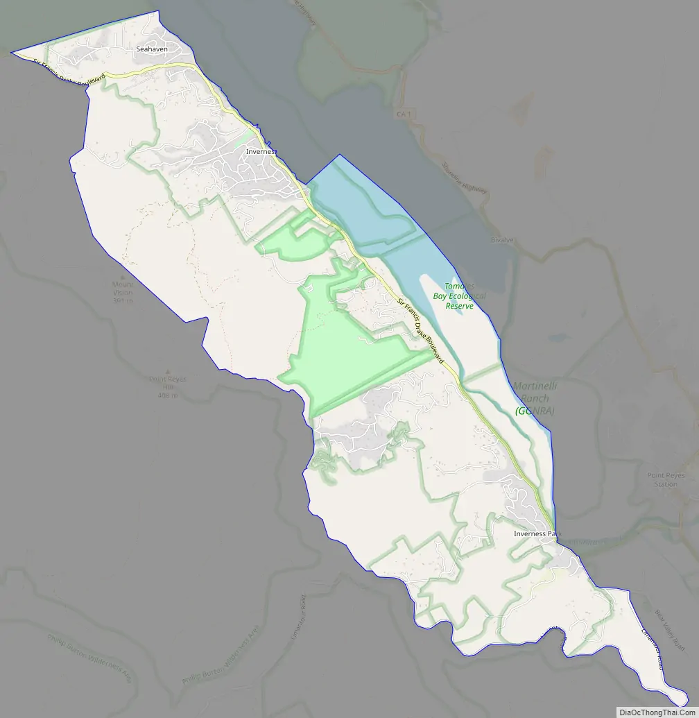
Inverness Road Map
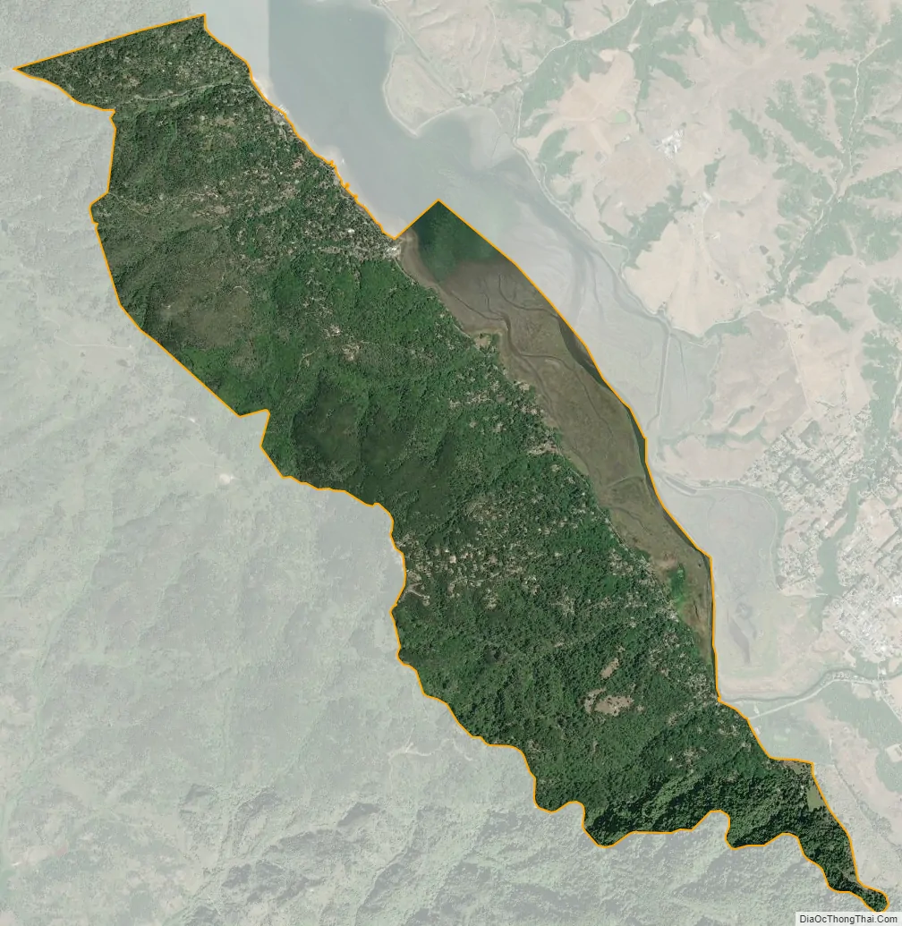
Inverness city Satellite Map
Geography
Inverness is located at 38°06′04″N 122°51′25″W / 38.10111°N 122.85694°W / 38.10111; -122.85694. According to the United States Census Bureau, the CDP has a total area of 6.8 square miles (18 km), of which 6.4 square miles (17 km) are land and 0.4 square miles (1.0 km), or 6.38%, are water. The CDP includes the secondary community of Inverness Park, southeast of Inverness proper. It is bordered to the east by Point Reyes Station.
The town is adjacent to the San Andreas Fault and is spread out along approximately 2 miles (3.2 km) of the western shore and valleys of Tomales Bay on the Point Reyes Peninsula. It provides services to visitors to the Point Reyes National Seashore and Tomales Bay State Park.
Climate
Inverness has a Mediterranean climate heavily influenced by the nearby Pacific Ocean, with cool, rainy winters and mild, dry summers. The community experiences a fairly narrow range of temperatures, due to its position only a few miles inland. The warmest month is actually September, a common pattern in the Bay Area due to the annual rollover in ocean currents.
See also
Map of California State and its subdivision:- Alameda
- Alpine
- Amador
- Butte
- Calaveras
- Colusa
- Contra Costa
- Del Norte
- El Dorado
- Fresno
- Glenn
- Humboldt
- Imperial
- Inyo
- Kern
- Kings
- Lake
- Lassen
- Los Angeles
- Madera
- Marin
- Mariposa
- Mendocino
- Merced
- Modoc
- Mono
- Monterey
- Napa
- Nevada
- Orange
- Placer
- Plumas
- Riverside
- Sacramento
- San Benito
- San Bernardino
- San Diego
- San Francisco
- San Joaquin
- San Luis Obispo
- San Mateo
- Santa Barbara
- Santa Clara
- Santa Cruz
- Shasta
- Sierra
- Siskiyou
- Solano
- Sonoma
- Stanislaus
- Sutter
- Tehama
- Trinity
- Tulare
- Tuolumne
- Ventura
- Yolo
- Yuba
- Alabama
- Alaska
- Arizona
- Arkansas
- California
- Colorado
- Connecticut
- Delaware
- District of Columbia
- Florida
- Georgia
- Hawaii
- Idaho
- Illinois
- Indiana
- Iowa
- Kansas
- Kentucky
- Louisiana
- Maine
- Maryland
- Massachusetts
- Michigan
- Minnesota
- Mississippi
- Missouri
- Montana
- Nebraska
- Nevada
- New Hampshire
- New Jersey
- New Mexico
- New York
- North Carolina
- North Dakota
- Ohio
- Oklahoma
- Oregon
- Pennsylvania
- Rhode Island
- South Carolina
- South Dakota
- Tennessee
- Texas
- Utah
- Vermont
- Virginia
- Washington
- West Virginia
- Wisconsin
- Wyoming


