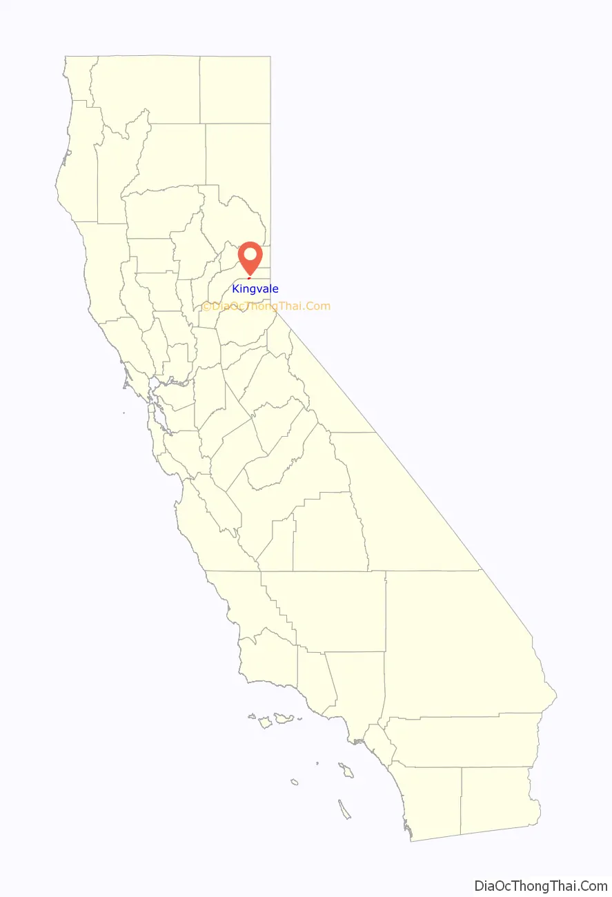
Kingvale is a census-designated place (CDP) in Placer County and Nevada County, California, United States. The CDP straddles the border of the two counties, with Nevada County to the north and Placer County to the south. It is located near Soda Springs, 5.5 mi (8.9 km) west of Donner Pass. Kingvale was listed on an official map as of 1955. The population was 143 at the 2010 census.
| Name: | Kingvale CDP |
|---|---|
| LSAD Code: | 57 |
| LSAD Description: | CDP (suffix) |
| State: | California |
| County: | Nevada County, Placer County |
| Elevation: | 6,118 ft (1,865 m) |
| Total Area: | 0.971 sq mi (2.512 km²) |
| Land Area: | 0.962 sq mi (2.490 km²) |
| Water Area: | 0.009 sq mi (0.022 km²) 0.88% |
| Total Population: | 143 |
| Population Density: | 150/sq mi (57/km²) |
| FIPS code: | 0638604 |
Online Interactive Map
Click on ![]() to view map in "full screen" mode.
to view map in "full screen" mode.
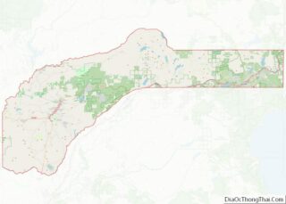
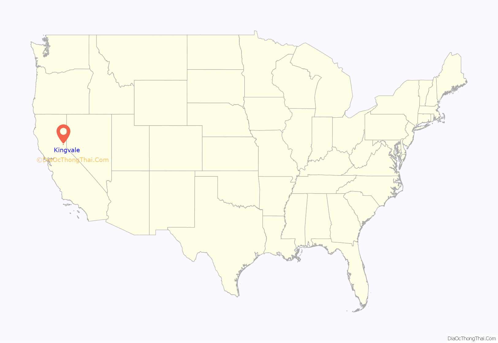
Kingvale location map. Where is Kingvale CDP?
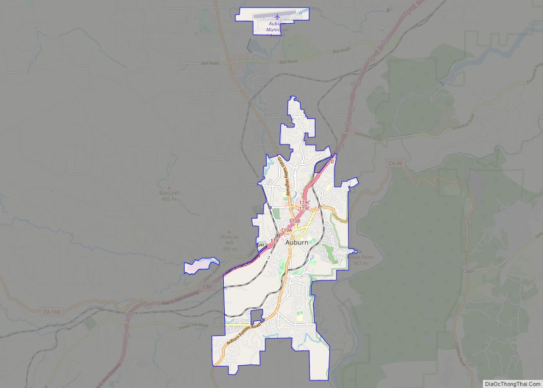
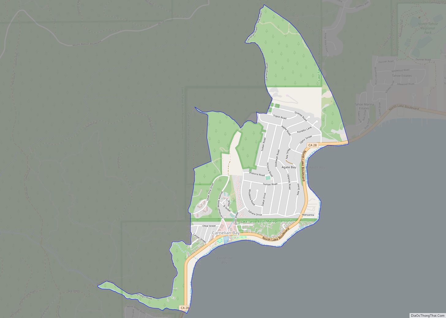
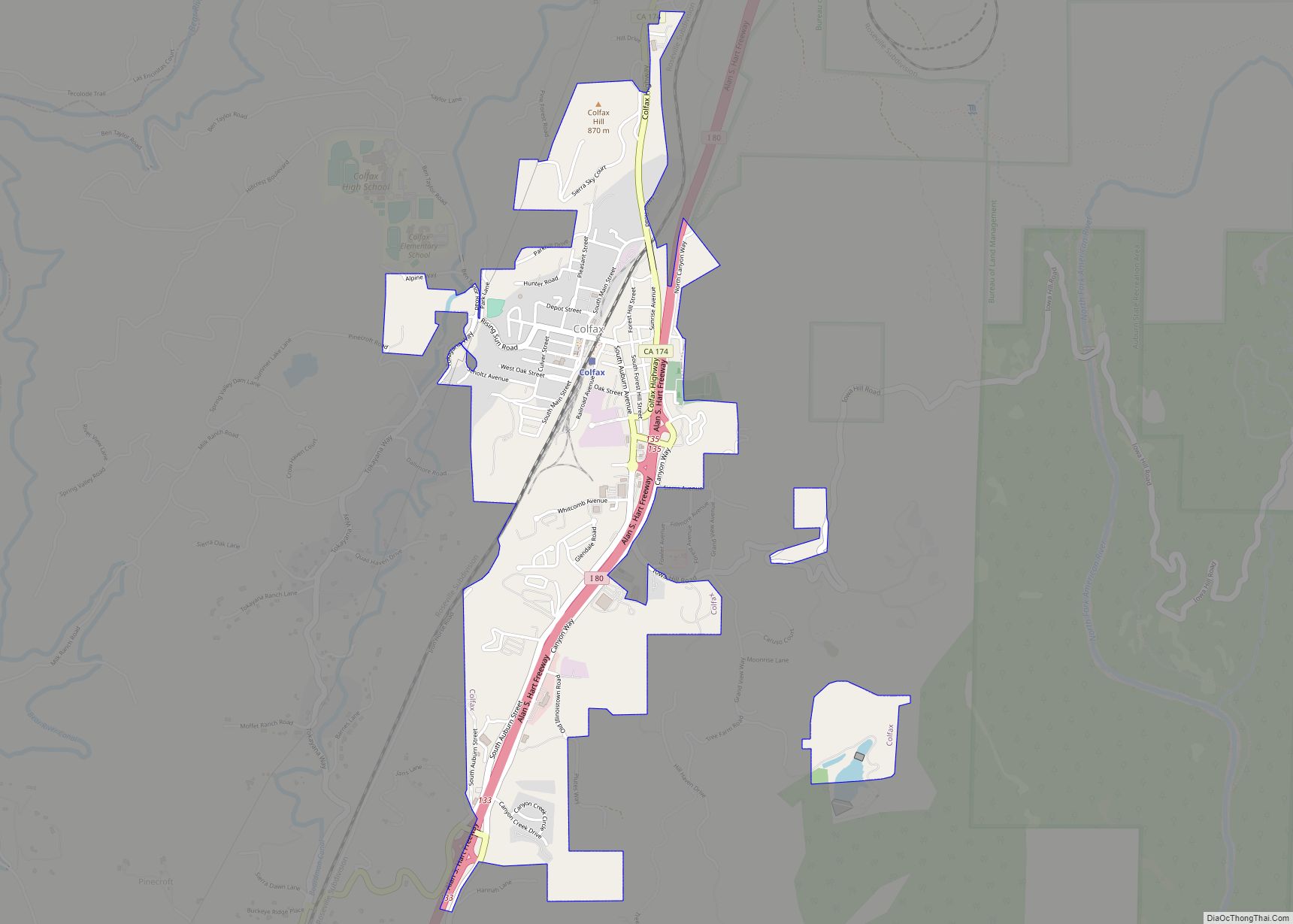
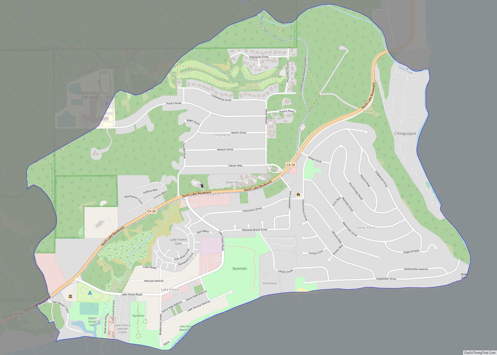
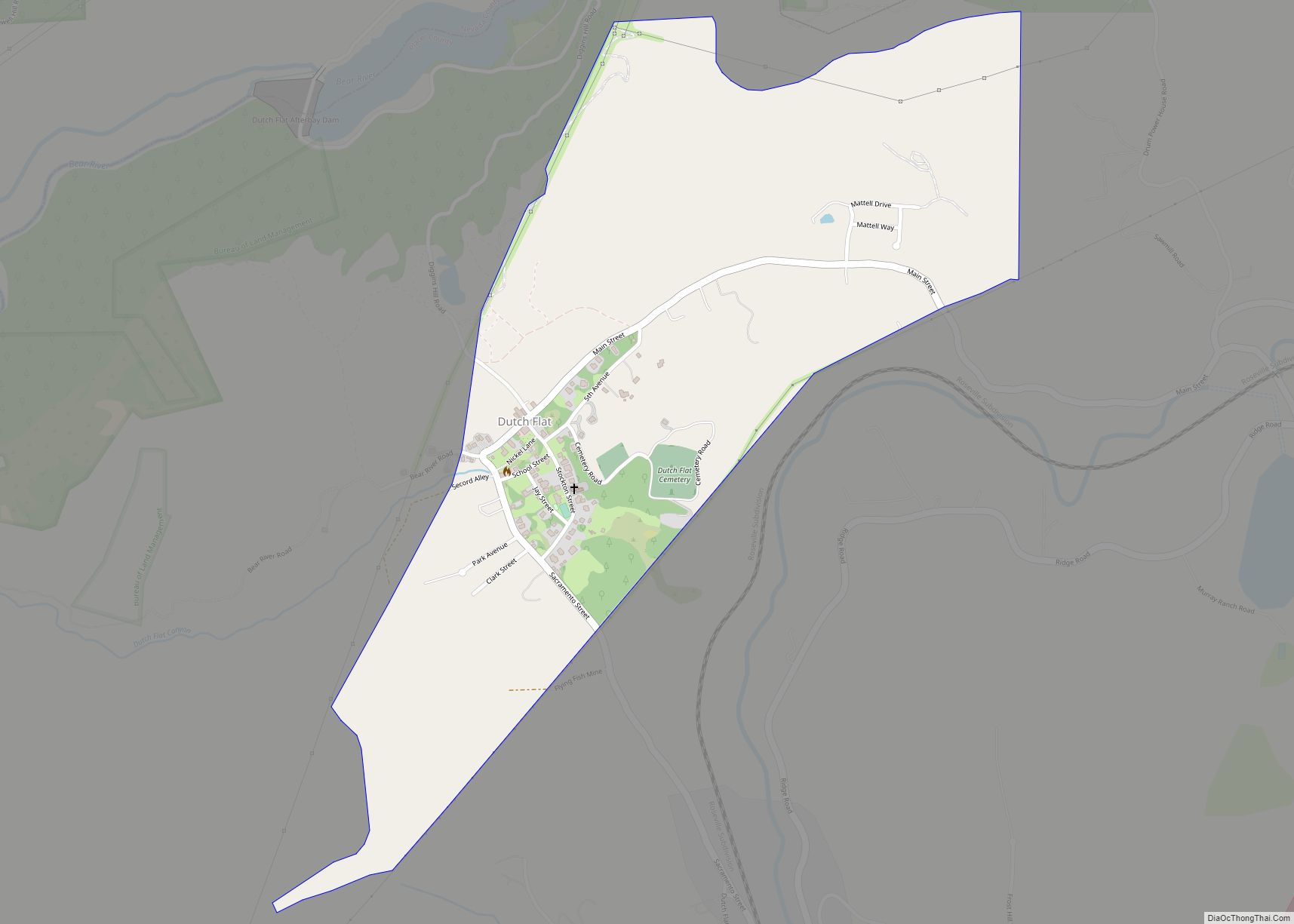
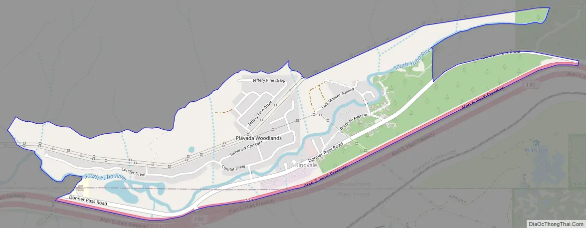
Kingvale Road Map
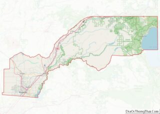
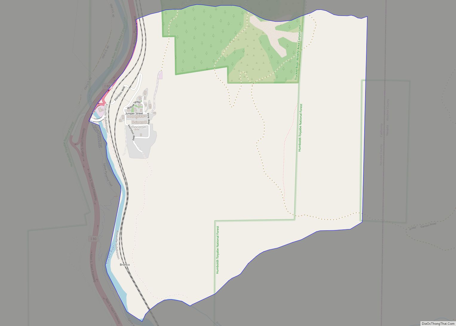
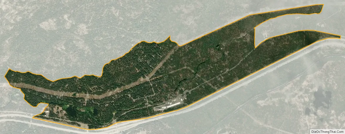
Kingvale city Satellite Map
Geography
According to the United States Census Bureau, the CDP covers an area of 1.0 square miles (2.5 km), 99.12% of it land, and 0.88% of it water.
See also
Map of California State and its subdivision:- Alameda
- Alpine
- Amador
- Butte
- Calaveras
- Colusa
- Contra Costa
- Del Norte
- El Dorado
- Fresno
- Glenn
- Humboldt
- Imperial
- Inyo
- Kern
- Kings
- Lake
- Lassen
- Los Angeles
- Madera
- Marin
- Mariposa
- Mendocino
- Merced
- Modoc
- Mono
- Monterey
- Napa
- Nevada
- Orange
- Placer
- Plumas
- Riverside
- Sacramento
- San Benito
- San Bernardino
- San Diego
- San Francisco
- San Joaquin
- San Luis Obispo
- San Mateo
- Santa Barbara
- Santa Clara
- Santa Cruz
- Shasta
- Sierra
- Siskiyou
- Solano
- Sonoma
- Stanislaus
- Sutter
- Tehama
- Trinity
- Tulare
- Tuolumne
- Ventura
- Yolo
- Yuba
- Alabama
- Alaska
- Arizona
- Arkansas
- California
- Colorado
- Connecticut
- Delaware
- District of Columbia
- Florida
- Georgia
- Hawaii
- Idaho
- Illinois
- Indiana
- Iowa
- Kansas
- Kentucky
- Louisiana
- Maine
- Maryland
- Massachusetts
- Michigan
- Minnesota
- Mississippi
- Missouri
- Montana
- Nebraska
- Nevada
- New Hampshire
- New Jersey
- New Mexico
- New York
- North Carolina
- North Dakota
- Ohio
- Oklahoma
- Oregon
- Pennsylvania
- Rhode Island
- South Carolina
- South Dakota
- Tennessee
- Texas
- Utah
- Vermont
- Virginia
- Washington
- West Virginia
- Wisconsin
- Wyoming