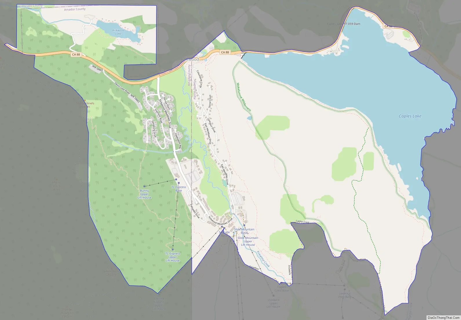
Kirkwood (formerly Kirk, Kirkwood’s, and Roundtop) is an unincorporated community in Alpine and Amador counties, California, United States. Kirkwood’s main attraction is the Kirkwood Mountain Resort. The town is accessible by State Route 88. Kirkwood is within the Eldorado National Forest. The population was 158 at the 2010 census. For statistical purposes, the United States Census Bureau has defined Kirkwood as a census-designated place (CDP).
| Name: | Kirkwood CDP |
|---|---|
| LSAD Code: | 57 |
| LSAD Description: | CDP (suffix) |
| State: | California |
| County: | Alpine County, Amador County |
| Elevation: | 7,690 ft (2,344 m) |
| Total Area: | 5.334 sq mi (13.815 km²) |
| Land Area: | 4.359 sq mi (11.290 km²) |
| Water Area: | 0.975 sq mi (2.525 km²) 18.28% |
| Total Population: | 158 |
| Population Density: | 30/sq mi (11/km²) |
| ZIP code: | 95646 |
| Area code: | 209 |
| FIPS code: | 0638646 |
Online Interactive Map
Click on ![]() to view map in "full screen" mode.
to view map in "full screen" mode.
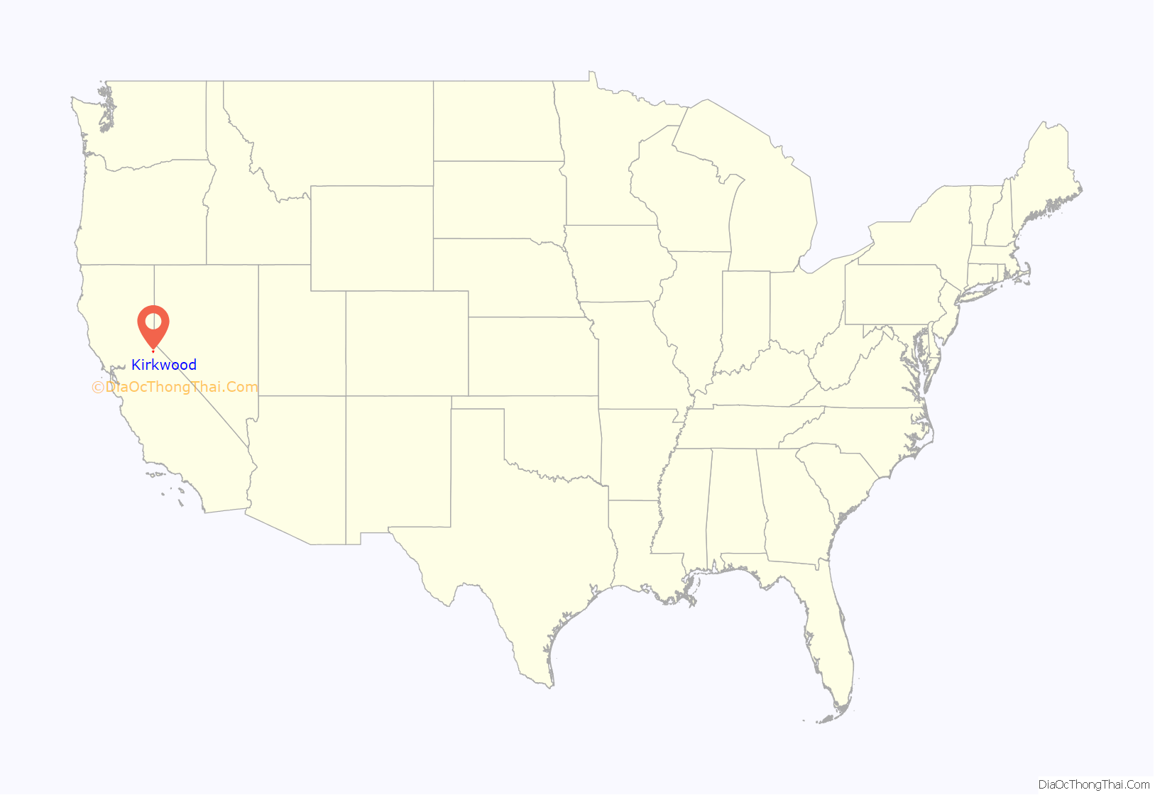
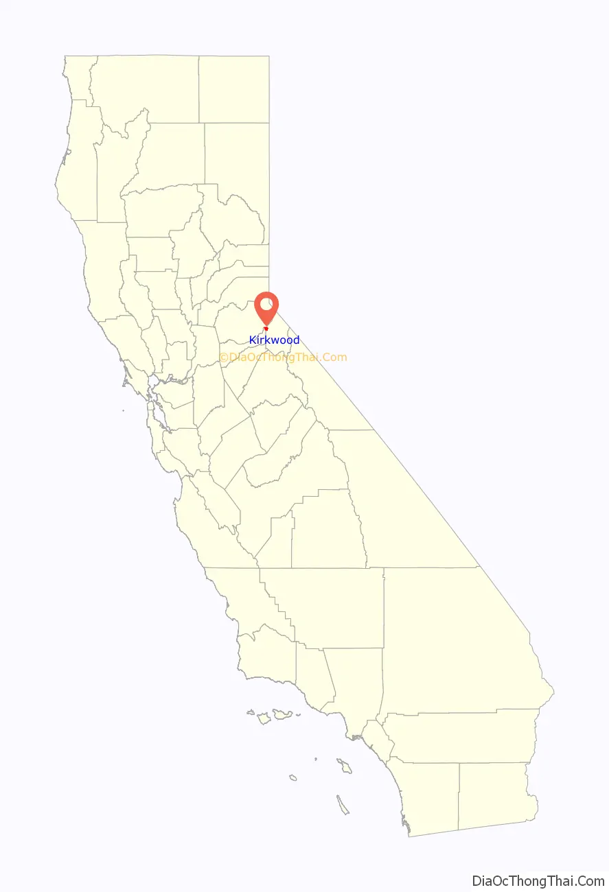
Kirkwood location map. Where is Kirkwood CDP?
History
Zack Kirkwood, a cattle rancher who had settled in the area, opened an inn, named Kirkwood’s, in 1863 with the opening of the Amador/Nevada Wagon Toll Road, the primary route through the Sierra Nevada Mountains. The following year, Alpine County was created and the redrawing of the county borders placed the inn at the convergence of Alpine, El Dorado, and Amador counties (the borders were later changed so that the inn is no longer in El Dorado County, but the original signpost marking the intersection of the three counties is still in the building). Eventually, the inn became a fashionable summer resort.
After Zack’s death, the inn stayed in the family and continued to operate until 1966, when it was sold to an investment group, who then converted it into the present-day Kirkwood Mountain Resort.
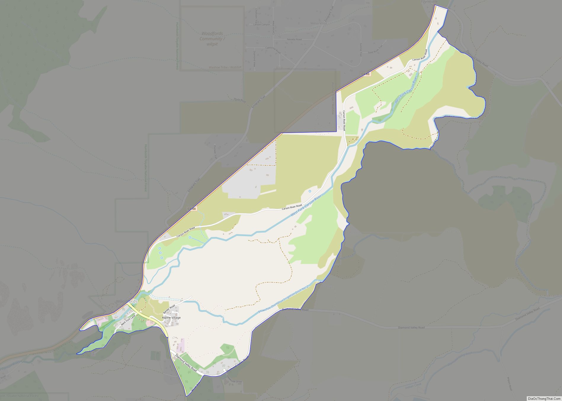
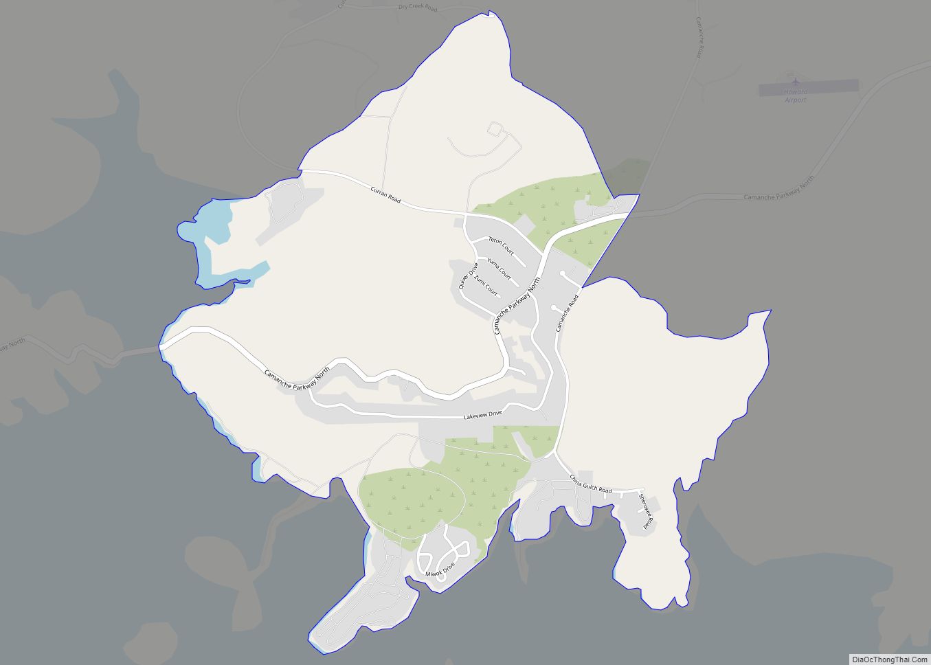
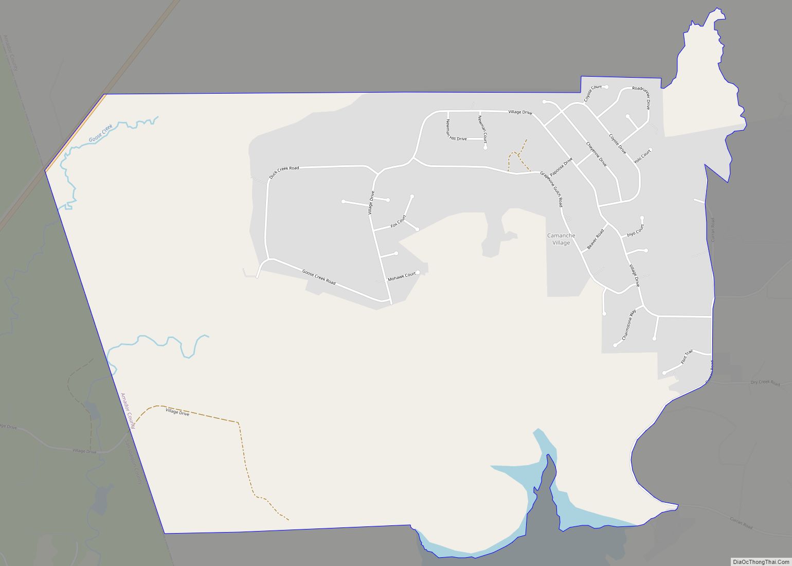
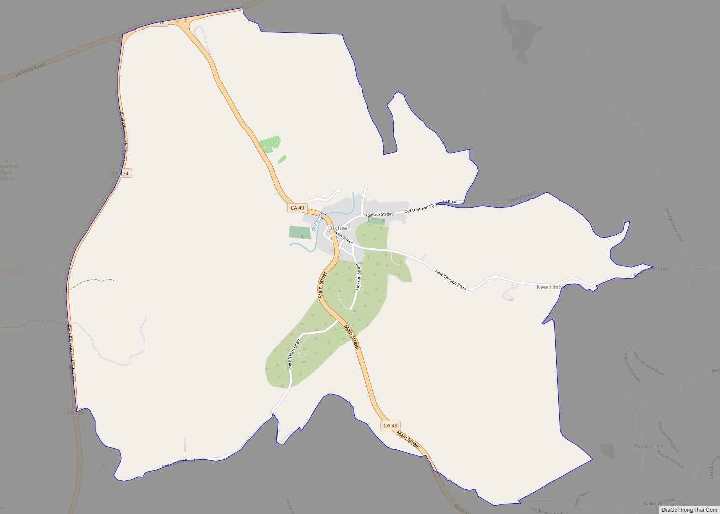
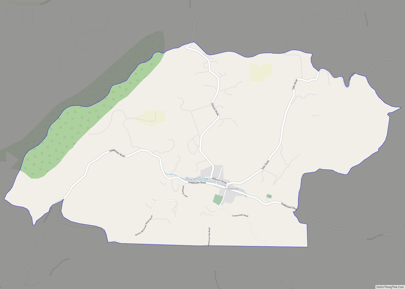
Kirkwood Road Map
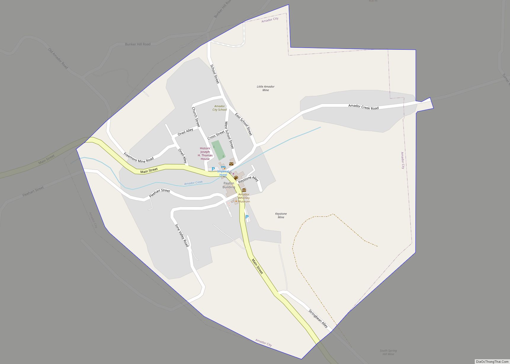
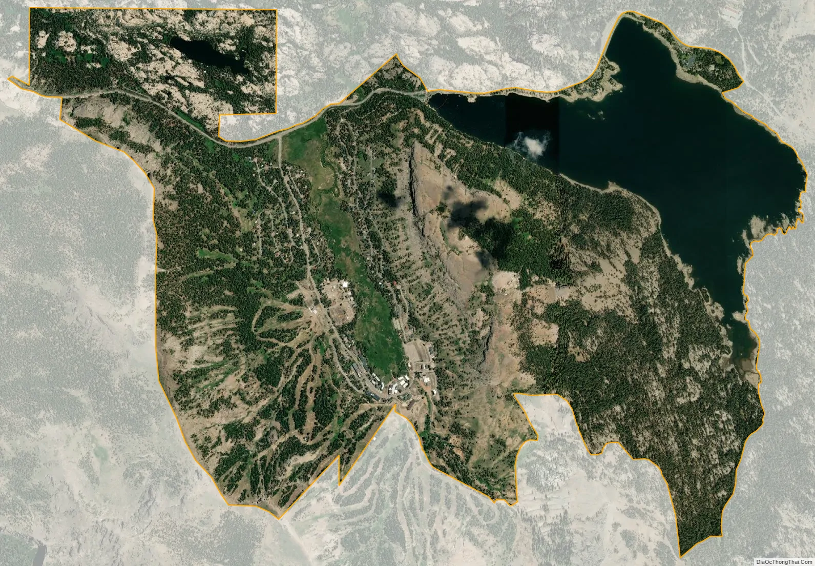
Kirkwood city Satellite Map
Geography
According to the United States Census Bureau, the CDP has a total area of 5.3 square miles (14 km), of which 4.4 square miles (11 km) is land and 1.0 square mile (2.6 km) (18.28%) is water.
Climate
Kirkwood has a dry-summer subarctic climate (Köppen climate classification: Dsc). Summertime is very mild, with little precipitation, while winter is very wet and cold.
See also
Map of California State and its subdivision:- Alameda
- Alpine
- Amador
- Butte
- Calaveras
- Colusa
- Contra Costa
- Del Norte
- El Dorado
- Fresno
- Glenn
- Humboldt
- Imperial
- Inyo
- Kern
- Kings
- Lake
- Lassen
- Los Angeles
- Madera
- Marin
- Mariposa
- Mendocino
- Merced
- Modoc
- Mono
- Monterey
- Napa
- Nevada
- Orange
- Placer
- Plumas
- Riverside
- Sacramento
- San Benito
- San Bernardino
- San Diego
- San Francisco
- San Joaquin
- San Luis Obispo
- San Mateo
- Santa Barbara
- Santa Clara
- Santa Cruz
- Shasta
- Sierra
- Siskiyou
- Solano
- Sonoma
- Stanislaus
- Sutter
- Tehama
- Trinity
- Tulare
- Tuolumne
- Ventura
- Yolo
- Yuba
- Alabama
- Alaska
- Arizona
- Arkansas
- California
- Colorado
- Connecticut
- Delaware
- District of Columbia
- Florida
- Georgia
- Hawaii
- Idaho
- Illinois
- Indiana
- Iowa
- Kansas
- Kentucky
- Louisiana
- Maine
- Maryland
- Massachusetts
- Michigan
- Minnesota
- Mississippi
- Missouri
- Montana
- Nebraska
- Nevada
- New Hampshire
- New Jersey
- New Mexico
- New York
- North Carolina
- North Dakota
- Ohio
- Oklahoma
- Oregon
- Pennsylvania
- Rhode Island
- South Carolina
- South Dakota
- Tennessee
- Texas
- Utah
- Vermont
- Virginia
- Washington
- West Virginia
- Wisconsin
- Wyoming