La Presa (Spanish for “The Dam”) is a census-designated place (CDP) in the East County region of San Diego County, California, United States. The population was 34,169 at the 2010 census, up from 32,721 at the 2000 census.
La Presa belonged to the neighboring Spring Valley CDP from its inception in 1970 through 1990. It is still considered part of Spring Valley in informal usage and addresses in the CDP continue to use the name Spring Valley. It was named after the Sweetwater Dam.
La Presa is served by a 91977 ZIP code, which is considered Spring Valley according to the USPS.
| Name: | La Presa CDP |
|---|---|
| LSAD Code: | 57 |
| LSAD Description: | CDP (suffix) |
| State: | California |
| County: | San Diego County |
| Elevation: | 351 ft (107 m) |
| Total Area: | 6.018 sq mi (15.585 km²) |
| Land Area: | 5.496 sq mi (14.234 km²) |
| Water Area: | 0.522 sq mi (1.351 km²) 8.67% |
| Total Population: | 34,126 |
| Population Density: | 5,700/sq mi (2,200/km²) |
| ZIP code: | 91977 |
| Area code: | 619 |
| FIPS code: | 0640326 |
| GNISfeature ID: | 0244447 |
Online Interactive Map
Click on ![]() to view map in "full screen" mode.
to view map in "full screen" mode.
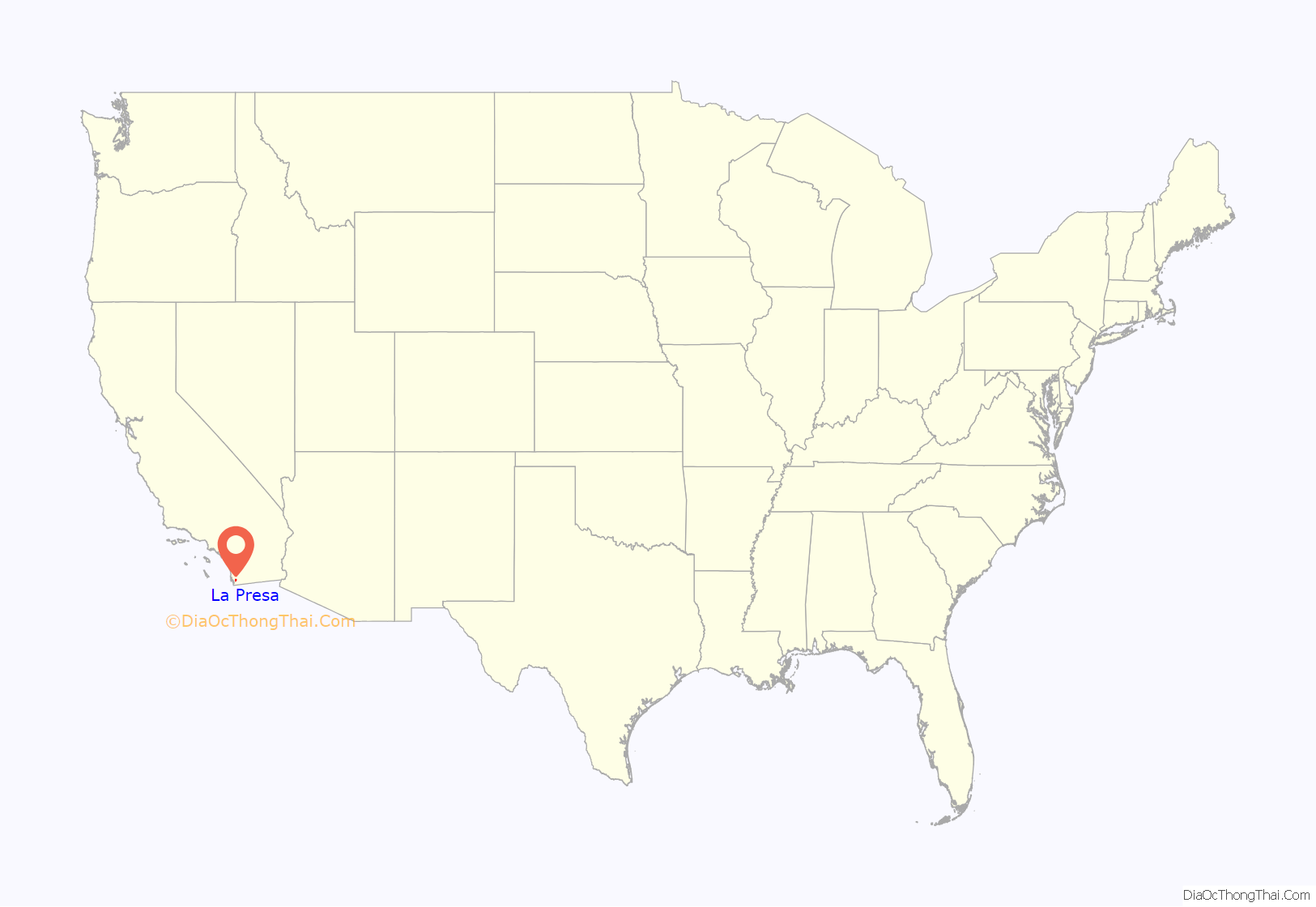
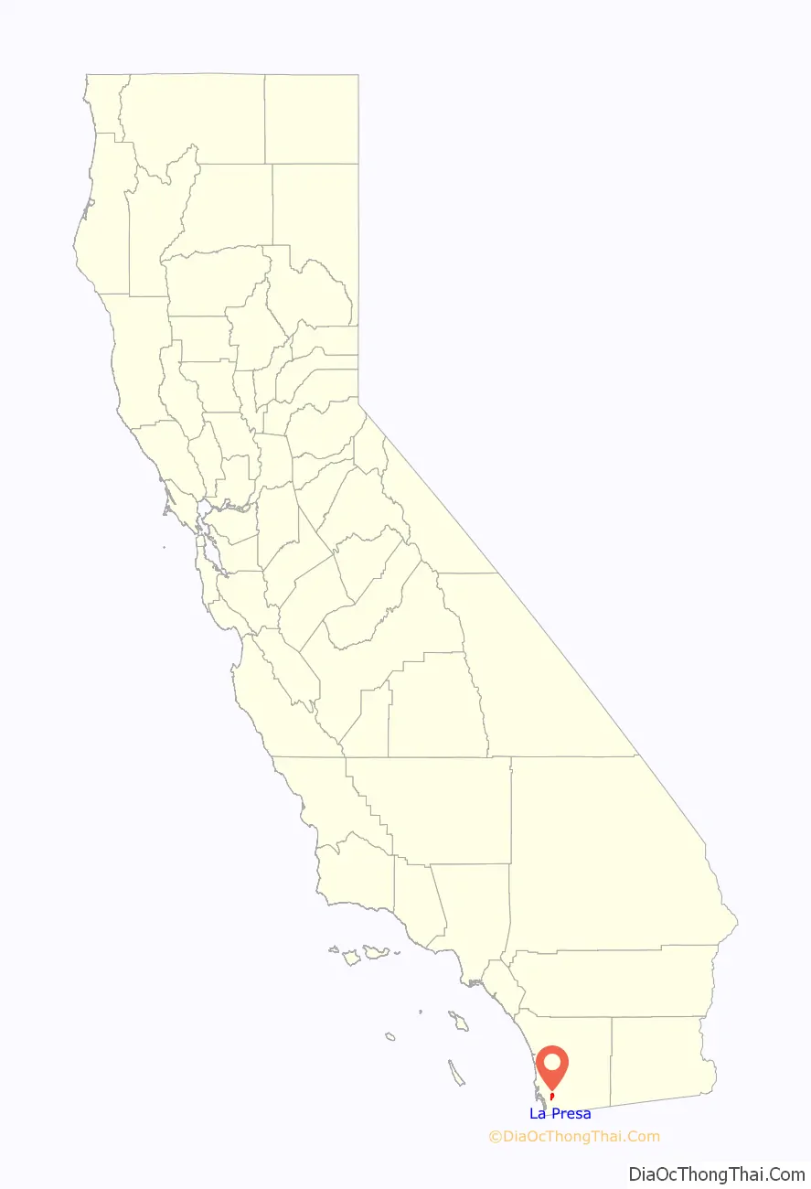
La Presa location map. Where is La Presa CDP?
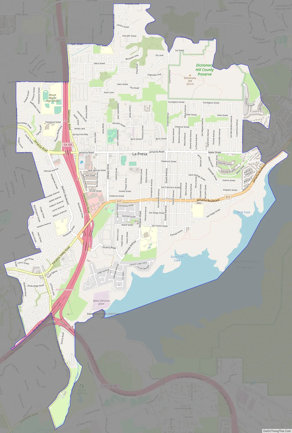
La Presa Road Map
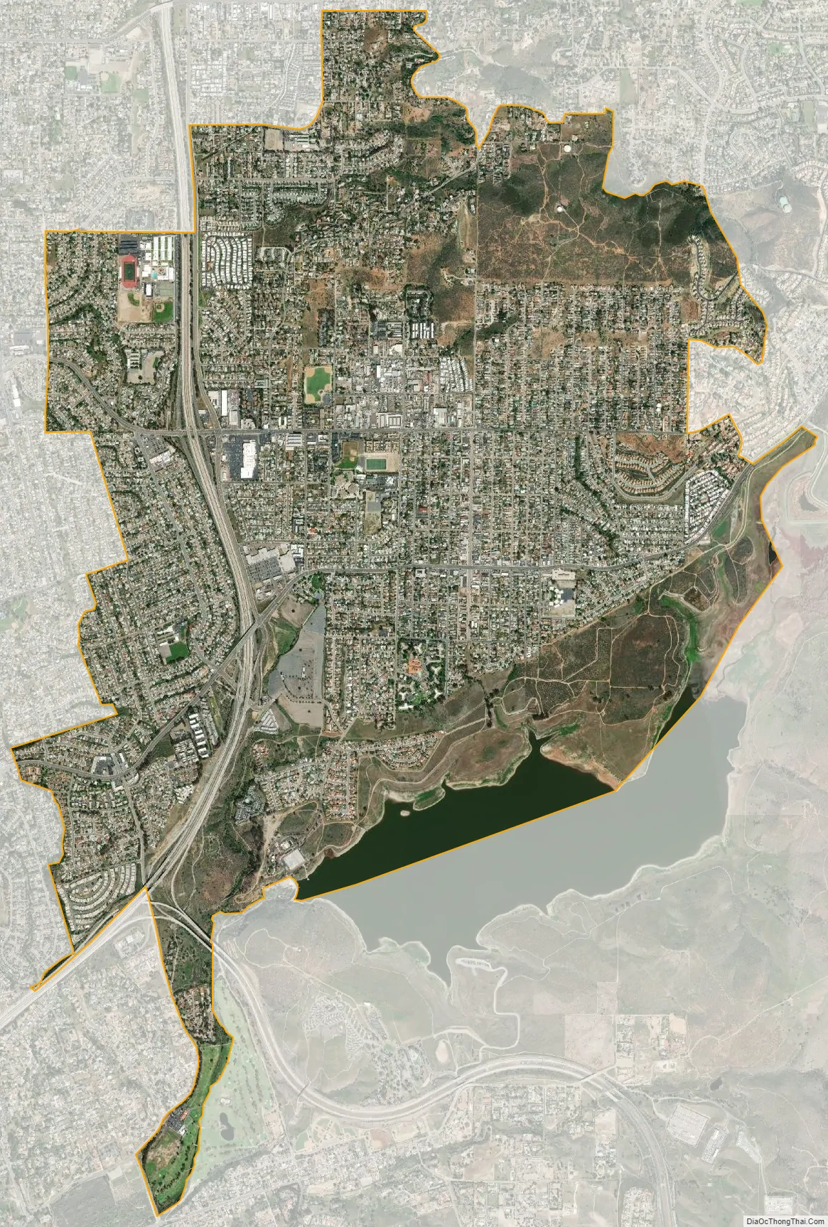
La Presa city Satellite Map
Geography
La Presa is located at 32°42′43″N 117°0′14″W / 32.71194°N 117.00389°W / 32.71194; -117.00389 (32.712057, -117.003862). According to the United States Census Bureau, the CDP has a total area of 6.0 square miles (16 km). 5.5 square miles (14 km) of it is land and 0.5 square miles (1.3 km) of it (8.67%) is water.
See also
Map of California State and its subdivision:- Alameda
- Alpine
- Amador
- Butte
- Calaveras
- Colusa
- Contra Costa
- Del Norte
- El Dorado
- Fresno
- Glenn
- Humboldt
- Imperial
- Inyo
- Kern
- Kings
- Lake
- Lassen
- Los Angeles
- Madera
- Marin
- Mariposa
- Mendocino
- Merced
- Modoc
- Mono
- Monterey
- Napa
- Nevada
- Orange
- Placer
- Plumas
- Riverside
- Sacramento
- San Benito
- San Bernardino
- San Diego
- San Francisco
- San Joaquin
- San Luis Obispo
- San Mateo
- Santa Barbara
- Santa Clara
- Santa Cruz
- Shasta
- Sierra
- Siskiyou
- Solano
- Sonoma
- Stanislaus
- Sutter
- Tehama
- Trinity
- Tulare
- Tuolumne
- Ventura
- Yolo
- Yuba
- Alabama
- Alaska
- Arizona
- Arkansas
- California
- Colorado
- Connecticut
- Delaware
- District of Columbia
- Florida
- Georgia
- Hawaii
- Idaho
- Illinois
- Indiana
- Iowa
- Kansas
- Kentucky
- Louisiana
- Maine
- Maryland
- Massachusetts
- Michigan
- Minnesota
- Mississippi
- Missouri
- Montana
- Nebraska
- Nevada
- New Hampshire
- New Jersey
- New Mexico
- New York
- North Carolina
- North Dakota
- Ohio
- Oklahoma
- Oregon
- Pennsylvania
- Rhode Island
- South Carolina
- South Dakota
- Tennessee
- Texas
- Utah
- Vermont
- Virginia
- Washington
- West Virginia
- Wisconsin
- Wyoming


